Hengrave Common

Wood, Forest in Norfolk Broadland

England

Hengrave Common

Swannington: School Road
Swannington: School Road Credit: Michael Garlick

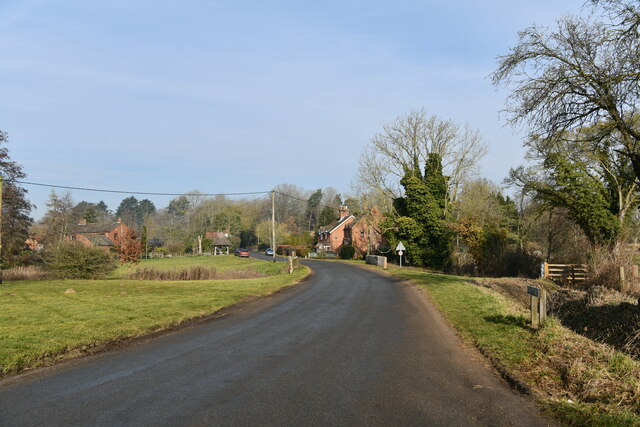
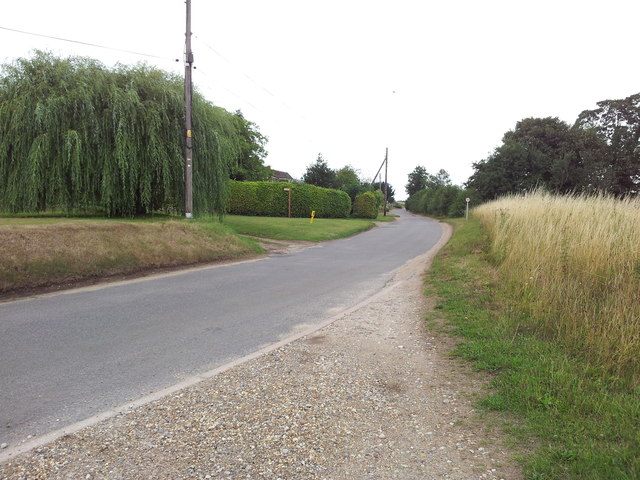
Hengrave Common, located in Norfolk, England, is a picturesque and diverse woodland area that spans approximately 200 acres. Known for its natural beauty and abundance of wildlife, the common is a popular destination for nature enthusiasts and walkers alike.

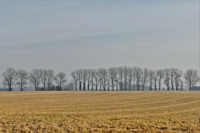
The common features a mix of ancient woodland and newer plantations, creating a diverse ecosystem that supports a wide range of flora and fauna. The dominant tree species found here include oak, birch, beech, and Scots pine, providing a rich habitat for a variety of bird species, including woodpeckers, owls, and thrushes.

The woodland floor of Hengrave Common is adorned with a vibrant carpet of wildflowers during the spring and summer months. Bluebells, primroses, and wild garlic are just a few of the species that add a burst of color to the landscape. Additionally, the common is home to several species of butterflies, such as the orange tip, brimstone, and comma.

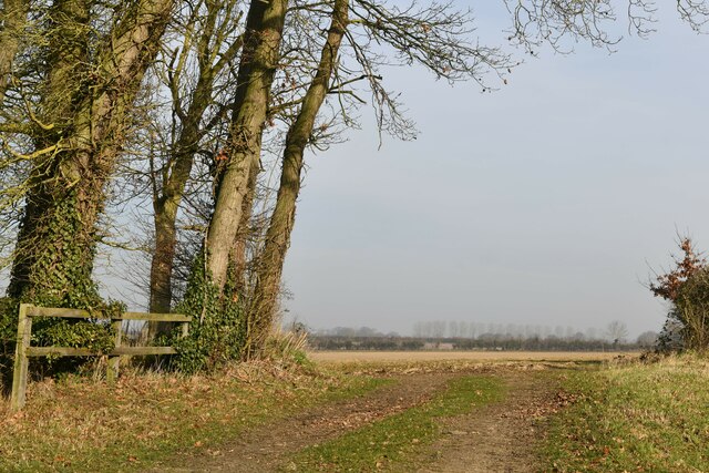
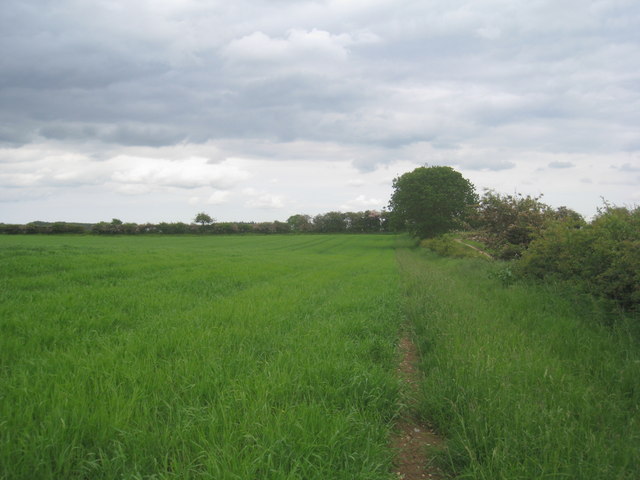
For those interested in exploring the area, Hengrave Common offers a network of well-maintained footpaths and trails that lead through the woodlands. These paths provide opportunities to observe the local wildlife, as well as discover hidden streams and ponds that are scattered throughout the common.

Due to its natural beauty and ecological importance, Hengrave Common is protected as a Site of Special Scientific Interest (SSSI). This designation ensures the preservation of the area's unique habitats and enables ongoing scientific research and conservation efforts. Visitors to Hengrave Common can enjoy its tranquility and natural charm while appreciating the importance of its preservation.

If you have any feedback on the listing, please let us know in the comments section below.

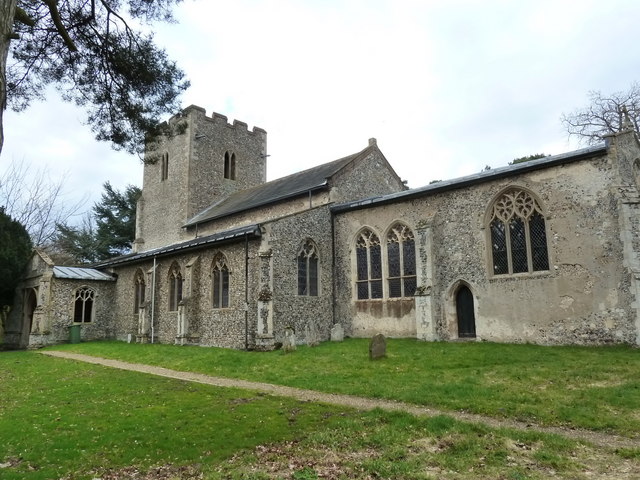
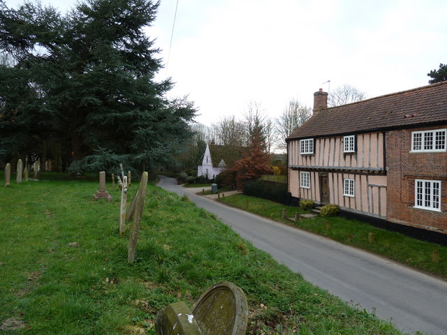
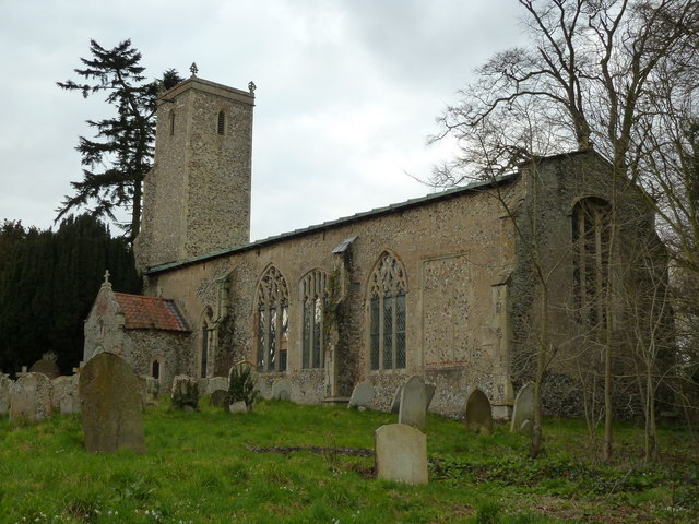
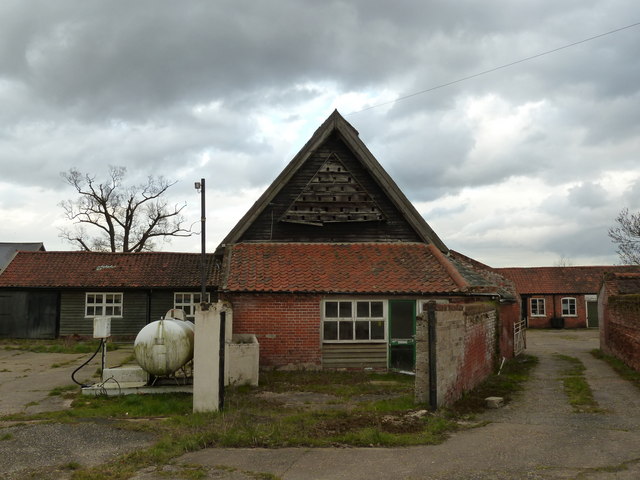
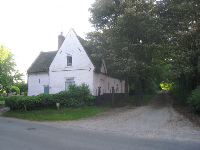
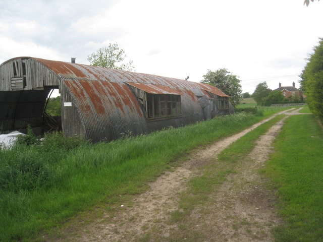
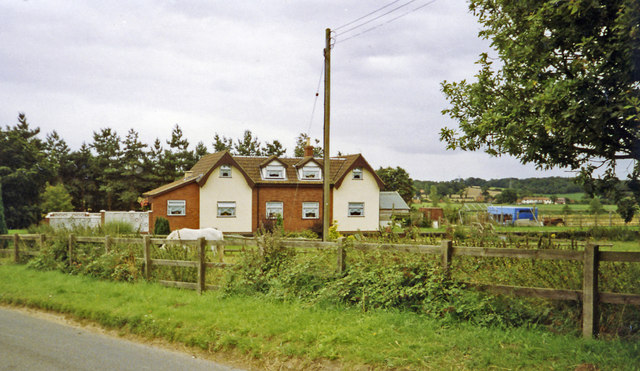
Hengrave Common Images

Images are sourced within 2km of 52.730149/1.1540111 or Grid Reference TG1319. Thanks to Geograph Open Source API. All images are credited.

Swannington: School Road
Swannington: Village sign
Swannington: Farm track
Swannington: Farmland
St. Margaret's church, Swannington
Houses as seen from the churchyard, Swannington
St, John the Baptist's church, Alderford
Dovecote at Church Farm, Alderford
Cottages by the entrance to Manor Farm. Swannington Now just one cottage.
Cottages by the entrance to Manor Farm. Swannington
Now just one cottage.
Footpath to Haveringland Follows the edge of the field.
Footpath to Haveringland
Follows the edge of the field.
Nissen hut at the Woodlands Still in use for storage though getting rather dilapidated.
Nissen hut at the Woodlands
Still in use for storage though getting rather dilapidated.
Site -?remains - of Attlebridge station, 1993 View SW on A1067 road. The station had been on the ex-M&GN Joint line, Melton Constable (to right) - Norwich (City) line, which closed for passengers with the rest of the system from 2/3/59, but the section to Norwich City was retained for goods by means of a connection off the ex-GER Wroxham - County School line by the Themelthorpe Loop from 12/9/60 and lasted until 13/7/64. It is not obvious whether the houses had been connected with the railway.
Site -?remains - of Attlebridge station, 1993
View SW on A1067 road. The station had been on the ex-M&GN Joint line, Melton Constable (to right) - Norwich (City) line, which closed for passengers with the rest of the system from 2/3/59, but the section to Norwich City was retained for goods by means of a connection off the ex-GER Wroxham - County School line by the Themelthorpe Loop from 12/9/60 and lasted until 13/7/64. It is not obvious whether the houses had been connected with the railway.
Looking up School Road from Upgate Common
St. Margaret's church and graveyard, Swannington
War memorial inside St. Margaret's church, Swannington
River Wensum from The Marriot's Way
Amazing hedge -  Swannington Manor This was a wonderful hedge at the back of this lovely house near Hengrave
Amazing hedge - Swannington Manor
This was a wonderful hedge at the back of this lovely house near Hengrave
Show me another place!

Hengrave Common is located at Grid Ref: TG1319 (Lat: 52.730149, Lng: 1.1540111)

Administrative County: Norfolk

District: Broadland

Police Authority: Norfolk

What 3 Words

///unity.firepower.conqueror. Near Cawston, Norfolk

Related Wikis

Swannington, Norfolk

Swannington is a village and civil parish in the English county of Norfolk, United Kingdom. The villages name means 'Farm/settlement connected with Swan...

Alderford

Alderford is a village and civil parish in the English county of Norfolk, about ten miles (16 km) north-west of Norwich. The name 'Alderford' derives from...

Alderford Common

Alderford Common is a 17.5-hectare (43-acre) biological Site of Special Scientific Interest north-west of Norwich in Norfolk.The common has a thin layer...

Broadland (UK Parliament constituency)

Broadland is a Norfolk constituency, which has been represented in the House of Commons of the UK Parliament since the 2019 general election by Jerome...

Guton

Guton was a settlement in the county of Norfolk in England mentioned in the Domesday Book as Guthetuna. It is described as being held by Osbert from Tihel...

Little Witchingham

Little Witchingham is a village and civil parish in the English county of Norfolk. It covers an area of 3.01 km2 (1.16 sq mi) and had a population of 36...

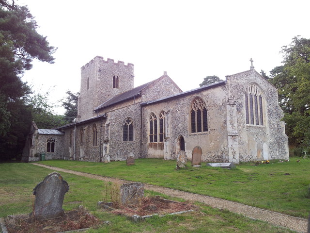
St Faith's Church, Little Witchingham

St Faith's Church is a redundant Anglican church in the village of Little Witchingham in Norfolk, England. It is recorded in the National Heritage List...

Attlebridge railway station

Attlebridge railway station is a closed station in Norfolk, England. It served the small village of Attlebridge. It was constructed by the Midland and...

Nearby Amenities

Located within 500m of 52.730149,1.1540111
Give Way
Lat/Long: 52.7297121/1.1585514
Note: boundary may go through middle of bridge instead?
Lat/Long: 52.7284481/1.1525998
Power: pole
Lat/Long: 52.73007/1.1482478
Power: pole
Lat/Long: 52.7287519/1.148284
Power: pole
Lat/Long: 52.7314702/1.1483176
Power: pole
Lat/Long: 52.7328873/1.1483136
Power: pole
Lat/Long: 52.7343607/1.1534066
Power: pole
Lat/Long: 52.7326399/1.1538934
Power: pole
Lat/Long: 52.7334488/1.1537029
Power: pole
Lat/Long: 52.7319399/1.1541213
Power: pole
Lat/Long: 52.731038/1.1543875
Power: pole
Lat/Long: 52.73039/1.1573916
Power: pole
Lat/Long: 52.7300554/1.1589097
Power: pole
Lat/Long: 52.7300083/1.1604037
Post Box
Operator: Royal Mail
Post Box Type: wall
Lat/Long: 52.7289465/1.1586993
Entrance: yes
Lat/Long: 52.7291273/1.1589668
Entrance: yes
Lat/Long: 52.7290094/1.1593124
Entrance: main
Lat/Long: 52.7289512/1.1589852
Give Way
Lat/Long: 52.7298716/1.1587769
Barrier: kissing_gate
Note: Sign from landowner says "Walk at your own risk"
Lat/Long: 52.7283226/1.1544282
The data included in this document is from www.openstreetmap.org. The data is made available under ODbL.

Have you been to Hengrave Common?

Leave your review of Hengrave Common below (or comments, questions and feedback).