Beinn Tharsuinn
Hill, Mountain in Inverness-shire
Scotland
Beinn Tharsuinn
The requested URL returned error: 429 Too Many Requests
If you have any feedback on the listing, please let us know in the comments section below.
Beinn Tharsuinn Images
Images are sourced within 2km of 57.780858/-6.9924886 or Grid Reference NG0387. Thanks to Geograph Open Source API. All images are credited.
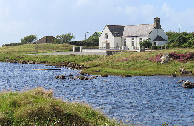
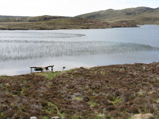
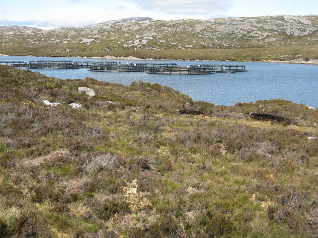
![Loch Steisebhat The hill in the distance is Grèabhal [280m]. The notice informs where one may get a fishing permit.](https://s3.geograph.org.uk/geophotos/04/99/41/4994191_67205124.jpg)
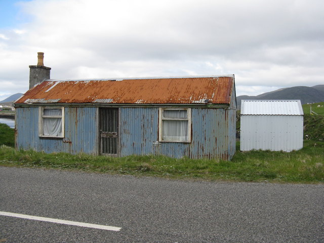
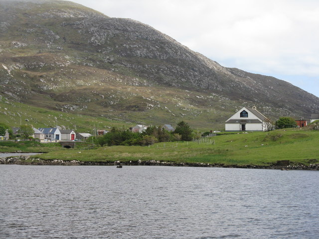
![Old house, new roof [1] On Pier Road at Leverburgh/An t-Ob. The hill in the distance is Ceapabhal, beyond Northton.](https://s3.geograph.org.uk/geophotos/04/99/66/4996655_40f288cc.jpg)
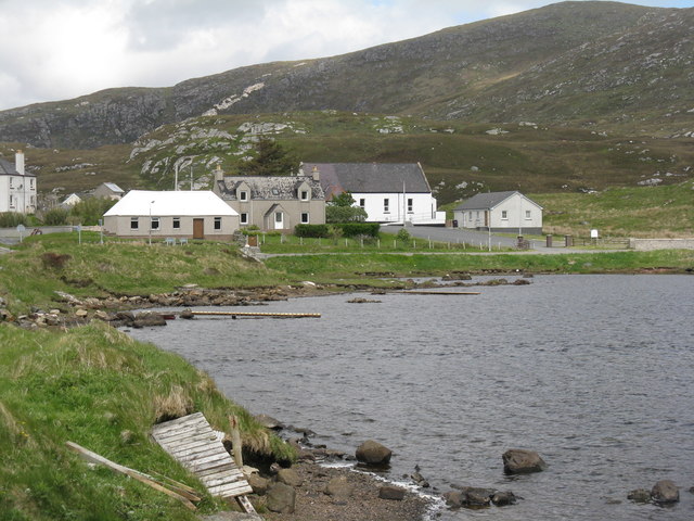
![Old house, new roof [2] On Pier Road at Leverburgh/An t-Ob, with a modern house above.](https://s0.geograph.org.uk/geophotos/04/99/66/4996680_bf4077d4.jpg)
Beinn Tharsuinn is located at Grid Ref: NG0387 (Lat: 57.780858, Lng: -6.9924886)
Unitary Authority: Na h-Eileanan an Iar
Police Authority: Highlands and Islands
What 3 Words
///lodge.venturing.warblers. Near Leverburgh, Na h-Eileanan Siar
Nearby Locations
Related Wikis

Roineabhal
Roineabhal is a hill in Harris, in the Western Isles of Scotland. The granite on the summit plateau of the mountain is anorthosite, and is similar in composition...

Leverburgh
Leverburgh (Scottish Gaelic: An t-Òb [ən̪ˠ ˈt̪ɔːp]) is the second largest village, after Tarbert, in Harris in the Outer Hebrides of Scotland. Leverburgh...

Outer Hebrides
The Outer Hebrides ( HEB-rid-eez) or Western Isles (Scottish Gaelic: na h-Eileanan Siar [nə ˈhelanən ˈʃiəɾ] , na h-Eileanan an Iar [nə ˈhelanən əɲ ˈiəɾ...

Harris Superquarry
The Harris Super Quarry was a super quarry at Lingerbay, Harris, Scotland proposed by Redland Aggregates in 1991. The plan was to surface mine aggregate...
Have you been to Beinn Tharsuinn?
Leave your review of Beinn Tharsuinn below (or comments, questions and feedback).