Cnoc nan Corr
Hill, Mountain in Inverness-shire
Scotland
Cnoc nan Corr
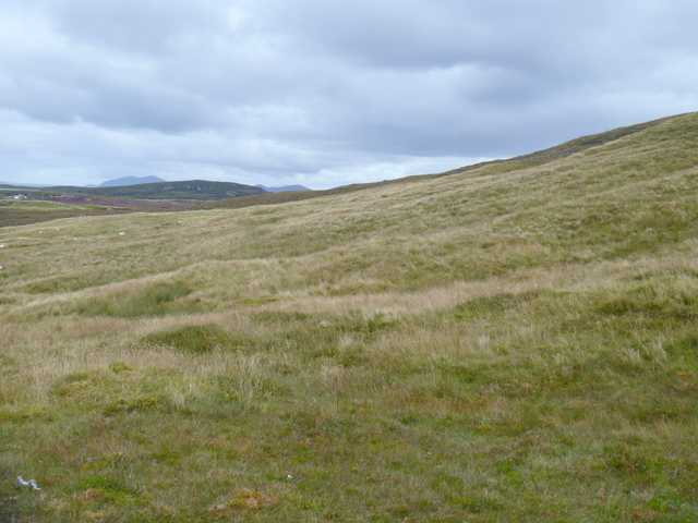
Cnoc nan Corr is a prominent hill located in the county of Inverness-shire, Scotland. With an elevation of approximately 550 meters (1804 feet), it is often referred to as a mountain due to its height and rugged terrain. The hill is part of the wider Glen Affric area, which is renowned for its stunning natural beauty and abundant wildlife.
Situated in the Scottish Highlands, Cnoc nan Corr offers breathtaking panoramic views of the surrounding landscape. Its summit provides a vantage point to enjoy uninterrupted vistas of rolling hills, deep valleys, and shimmering lochs. On clear days, it is even possible to catch a glimpse of the distant peaks of the Cairngorms National Park.
The ascent to Cnoc nan Corr can be challenging, particularly for inexperienced hikers, as the terrain is steep and rocky. However, the effort is rewarded by the stunning scenery and the sense of accomplishment upon reaching the summit. The hill is a popular destination for outdoor enthusiasts who enjoy activities such as hiking, hillwalking, and birdwatching.
The area surrounding Cnoc nan Corr is rich in biodiversity, with a variety of plant and animal species making it their home. It is not uncommon to spot red deer, golden eagles, and ptarmigans while exploring the hillside.
In conclusion, Cnoc nan Corr is a majestic hill in Inverness-shire, offering visitors a chance to immerse themselves in the beauty of the Scottish Highlands. Its challenging ascent, breathtaking views, and diverse wildlife make it a must-visit destination for nature enthusiasts and adventurers alike.
If you have any feedback on the listing, please let us know in the comments section below.
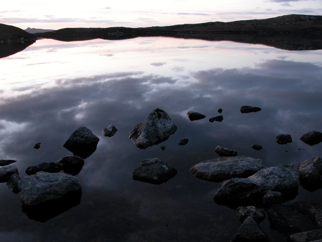
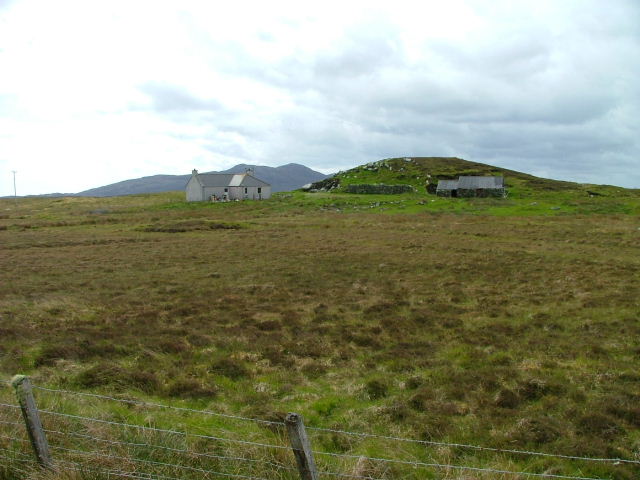
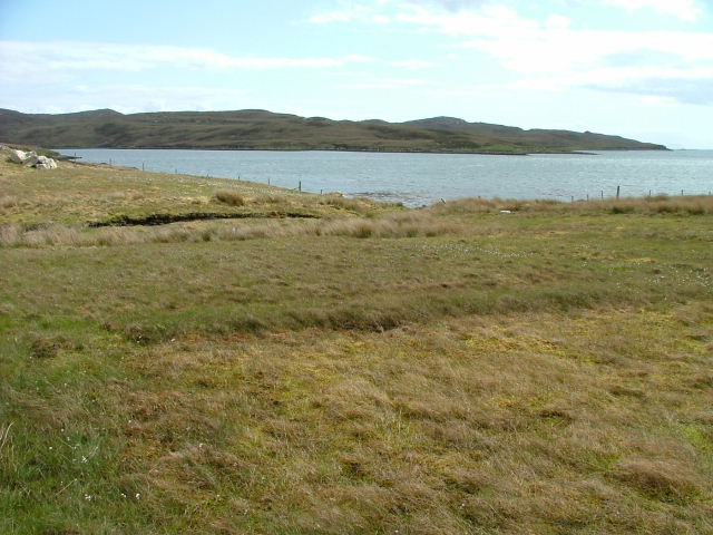
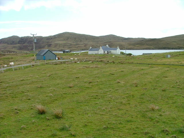
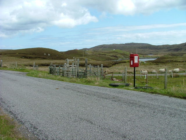
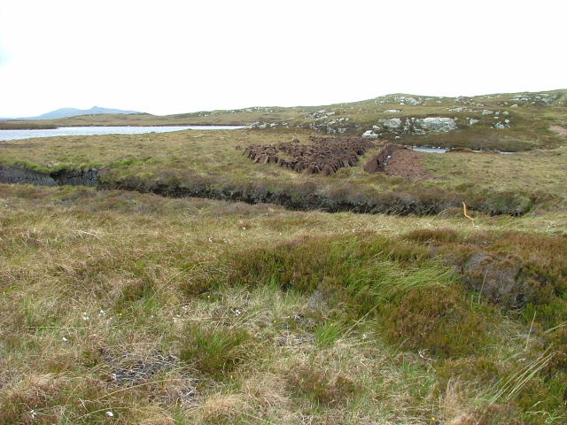
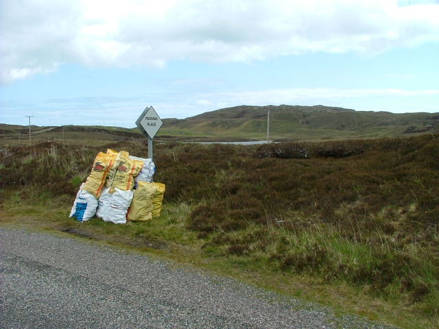
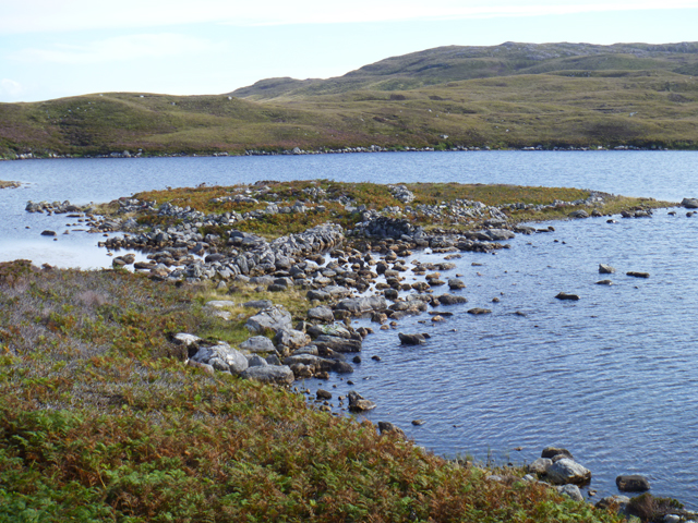
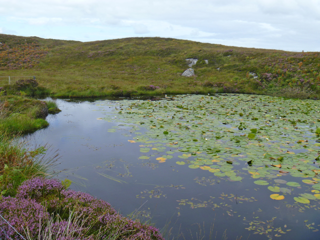
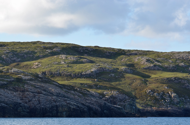
Cnoc nan Corr Images
Images are sourced within 2km of 57.628708/-7.1160525 or Grid Reference NF9471. Thanks to Geograph Open Source API. All images are credited.


Cnoc nan Corr is located at Grid Ref: NF9471 (Lat: 57.628708, Lng: -7.1160525)
Unitary Authority: Na h-Eileanan an Iar
Police Authority: Highlands and Islands
What 3 Words
///iteration.mascots.nests. Near Lochmaddy, Na h-Eileanan Siar
Nearby Locations
Related Wikis

Weavers Point
Weavers Point (Scottish Gaelic: Rubha an Fhigheadair) is a headland to the north of the entrance to Loch Maddy, on the north eastern coastline of North...

Ceallasaigh Beag
Ceallasaigh Beag (or Keallasay Beg) is a low-lying island in Loch Maddy off North Uist in the Outer Hebrides of Scotland. This an area of shallow lagoons...
Stromay
Stromay (Scottish Gaelic: Sròmaigh) is a tidal island off North Uist in the Sound of Harris, Scotland. The low island of Stromay lies between two wide...
Loch an Duin
Loch an Duin is a complex system of freshwater, brackish and sea lochs, tidal channels and islands, on and close to North Uist off the west coast of Scotland...
Nearby Amenities
Located within 500m of 57.628708,-7.1160525Have you been to Cnoc nan Corr?
Leave your review of Cnoc nan Corr below (or comments, questions and feedback).