Rubha na Murla
Coastal Feature, Headland, Point in Inverness-shire
Scotland
Rubha na Murla
Rubha na Murla is a prominent headland located in Inverness-shire, Scotland. Situated on the western coast of the Scottish Highlands, it is positioned approximately 20 miles southwest of Inverness, the region's largest city. This coastal feature is known for its stunning natural beauty and its significant historical and geological importance.
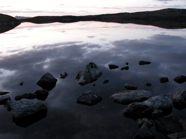
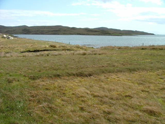
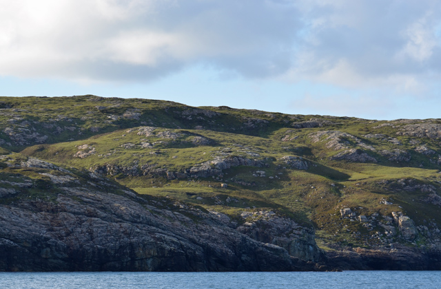
At Rubha na Murla, visitors are greeted with breathtaking views of the North Atlantic Ocean. The headland is characterized by rugged cliffs that drop dramatically into the sea, creating a picturesque and dramatic coastline. The area is teeming with diverse marine life, and it is not uncommon to spot seals, dolphins, and various seabirds while exploring the headland.
From a historical perspective, Rubha na Murla holds great significance. The headland was once home to an ancient Pictish settlement, with remnants of fortified structures and burial sites dating back to the Iron Age. These archaeological remains provide valuable insights into the lives and customs of the Pictish people who inhabited the area centuries ago.
Geologically, Rubha na Murla is part of the Great Glen Fault Line, a major geological feature that stretches across the Scottish Highlands. This fault line has played a crucial role in shaping the landscape of the region, with the headland itself formed through the gradual erosion caused by the relentless force of the ocean waves over millions of years.
Rubha na Murla is a popular destination for hikers and nature enthusiasts, who are drawn to its breathtaking views, rich history, and diverse wildlife. It offers a unique opportunity to experience the rugged beauty of the Scottish coast while immersing oneself in the region's fascinating past.
If you have any feedback on the listing, please let us know in the comments section below.
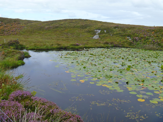
Rubha na Murla Images
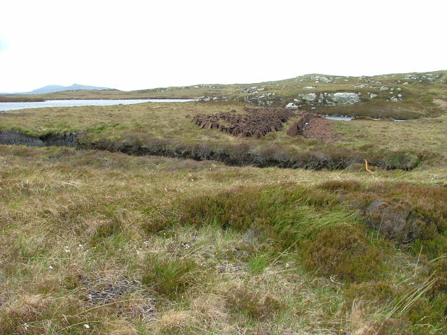
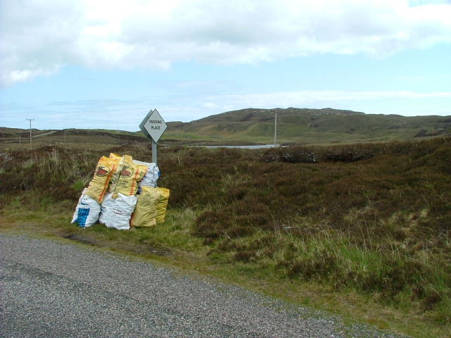
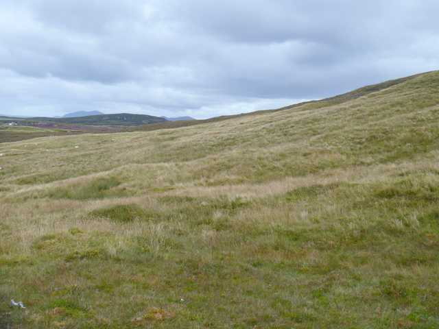
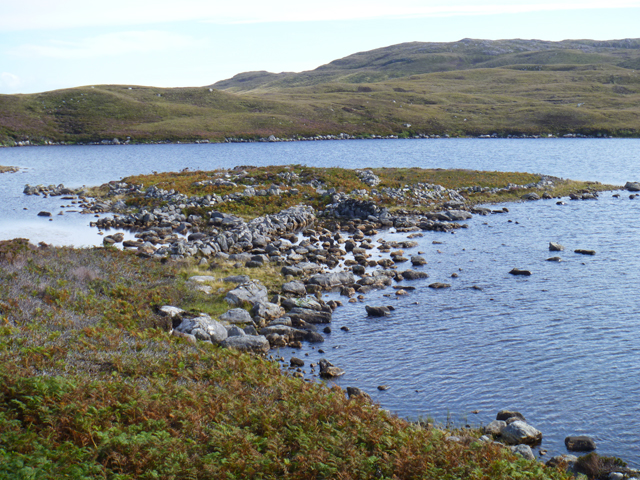
Images are sourced within 2km of 57.630871/-7.1135227 or Grid Reference NF9471. Thanks to Geograph Open Source API. All images are credited.


Rubha na Murla is located at Grid Ref: NF9471 (Lat: 57.630871, Lng: -7.1135227)
Unitary Authority: Na h-Eileanan an Iar
Police Authority: Highlands and Islands
What 3 Words
///decisions.surpassed.tennis. Near Lochmaddy, Na h-Eileanan Siar
Nearby Locations
Related Wikis

Weavers Point
Weavers Point (Scottish Gaelic: Rubha an Fhigheadair) is a headland to the north of the entrance to Loch Maddy, on the north eastern coastline of North...

Ceallasaigh Beag
Ceallasaigh Beag (or Keallasay Beg) is a low-lying island in Loch Maddy off North Uist in the Outer Hebrides of Scotland. This an area of shallow lagoons...
Stromay
Stromay (Scottish Gaelic: Sròmaigh) is a tidal island off North Uist in the Sound of Harris, Scotland. The low island of Stromay lies between two wide...
Loch an Duin
Loch an Duin is a complex system of freshwater, brackish and sea lochs, tidal channels and islands, on and close to North Uist off the west coast of Scotland...
Nearby Amenities
Located within 500m of 57.630871,-7.1135227Have you been to Rubha na Murla?
Leave your review of Rubha na Murla below (or comments, questions and feedback).