Cnoc nan Claigeann

Hill, Mountain in Inverness-shire

Scotland

Cnoc nan Claigeann

Berneray/Bearnaraigh West Beach
Berneray/Bearnaraigh West Beach Credit: Sandy Gerrard

Cnoc nan Claigeann is a prominent hill located in Inverness-shire, Scotland. It stands at an elevation of approximately 365 meters (1,198 feet) above sea level, making it a popular destination for hikers and outdoor enthusiasts. The hill is situated near the village of Drumnadrochit, just a few miles southwest of the famous Loch Ness.

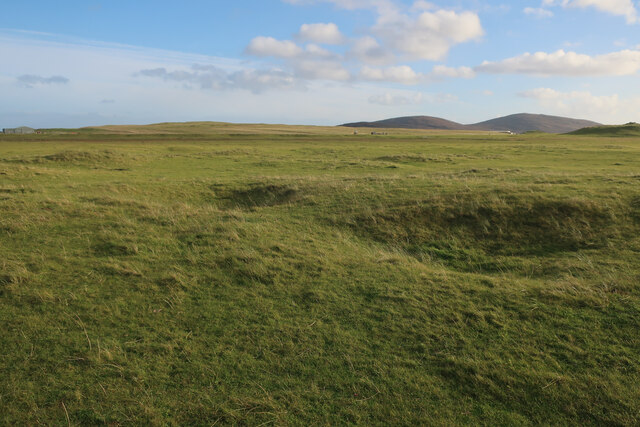
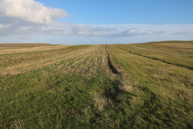
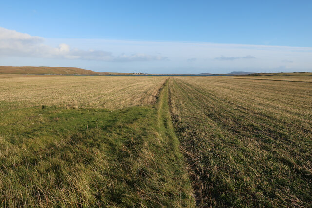
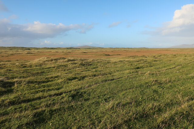
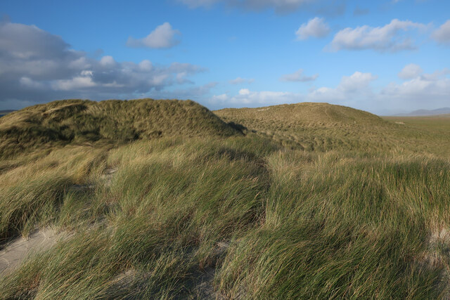
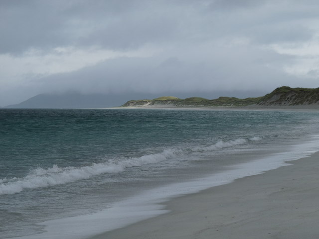
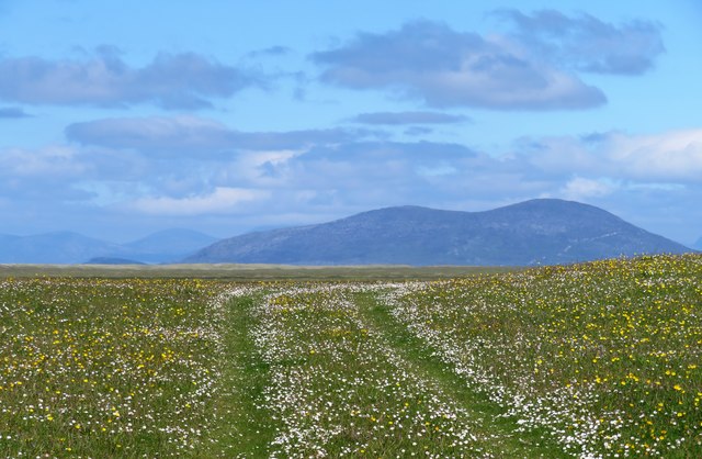
Cnoc nan Claigeann offers stunning panoramic views of the surrounding Scottish Highlands, including the picturesque Loch Ness and the Great Glen. On a clear day, visitors can enjoy breathtaking vistas of the rolling hills, dense forests, and shimmering water bodies that characterize this beautiful region of Scotland.

The hill is easily accessible, with several well-marked trails leading to its summit. The ascent is relatively gentle, making it suitable for hikers of all abilities. Along the way, nature lovers can admire the diverse flora and fauna that populate the area, including heather, wildflowers, and a variety of bird species.

At the top of Cnoc nan Claigeann, hikers are rewarded with a breathtaking panorama that stretches for miles. The views are particularly impressive during sunset or sunrise when the golden hues of the sky paint a stunning backdrop to the natural landscape.

Overall, Cnoc nan Claigeann is a must-visit destination for those seeking to explore the natural beauty of Inverness-shire. Its accessibility, stunning views, and proximity to Loch Ness make it a popular choice for outdoor enthusiasts and nature lovers alike.

If you have any feedback on the listing, please let us know in the comments section below.

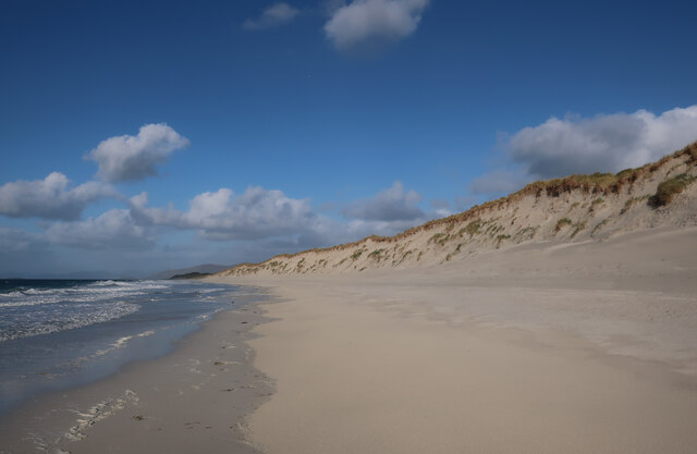
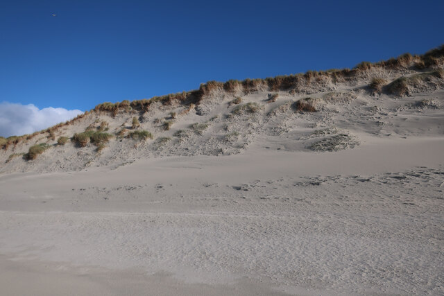
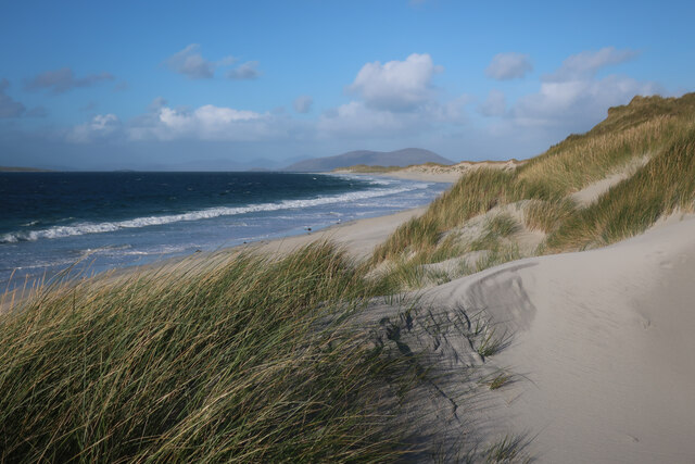
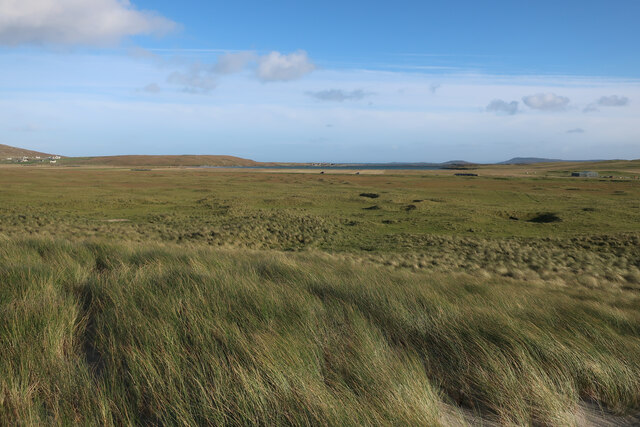
Cnoc nan Claigeann Images

Images are sourced within 2km of 57.706096/-7.2163663 or Grid Reference NF8980. Thanks to Geograph Open Source API. All images are credited.

Berneray/Bearnaraigh West Beach
Rocks and sand at Rubha Bhoisnis
Machair on Berneray Sandy grassland behind West Beach.
Machair on Berneray
Sandy grassland behind West Beach.
Stubble field on Berneray
Stubble fields, Berneray
Machair on Berneray
Machair on Berneray
West Beach, Berneray
Dune front, Berneray The dunes in this section of the beach are eroding back slightly, but others stretches are growing as the sand moves around.
Dune front, Berneray
The dunes in this section of the beach are eroding back slightly, but others stretches are growing as the sand moves around.
West Beach, Berneray
Machair behind Berneray West Beach Fairly flat sandy grassland behind the dune ridge.
Machair behind Berneray West Beach
Fairly flat sandy grassland behind the dune ridge.
Sand dunes by Berneray West Beach
Berneray West Beach Not quite deserted.
Berneray West Beach
Not quite deserted.
The western beach of Berneray
The south end of Traigh Iar, Berneray Viewed from the north side of Rubha Bhoisnis.
The south end of Traigh Iar, Berneray
Viewed from the north side of Rubha Bhoisnis.
Sandy shores on Berneray One of the island's smaller beaches facing south towards North Uist and with the tiny island of Eilean an Dunain at the far end.
Sandy shores on Berneray
One of the island's smaller beaches facing south towards North Uist and with the tiny island of Eilean an Dunain at the far end.
Oystercatchers on the beach You are never far away from the sight or loud piping of oystercatchers on the Western Isles. This view is south towards the small island of Lingeigh [to the right] with the hills of North Uist beyond.
Oystercatchers on the beach
You are never far away from the sight or loud piping of oystercatchers on the Western Isles. This view is south towards the small island of Lingeigh [to the right] with the hills of North Uist beyond.
Track across the machair The machair on Berneray is as fine as anywhere along the Western Isles. The colours are mostly white and yellow from daisies, clover and buttercups, whilst the clover fills the air with a sweet perfume.
Track across the machair
The machair on Berneray is as fine as anywhere along the Western Isles. The colours are mostly white and yellow from daisies, clover and buttercups, whilst the clover fills the air with a sweet perfume.
Curious lumps and bumps above the shore Initial thoughts were that these shallow impressions in the grass just above the shoreline were similar to hollows seen on the coastline of Orkney where boats were stored away from the wind and waves, but these were obviously different. In fact these are the scant remains of old cottage outlines, the seawards ends having been eroded away. A local informed me that this was once the site of a village which had been abandoned due to damage by storms.
Curious lumps and bumps above the shore
Initial thoughts were that these shallow impressions in the grass just above the shoreline were similar to hollows seen on the coastline of Orkney where boats were stored away from the wind and waves, but these were obviously different. In fact these are the scant remains of old cottage outlines, the seawards ends having been eroded away. A local informed me that this was once the site of a village which had been abandoned due to damage by storms.
Show me another place!

Cnoc nan Claigeann is located at Grid Ref: NF8980 (Lat: 57.706096, Lng: -7.2163663)

Unitary Authority: Na h-Eileanan an Iar

Police Authority: Highlands and Islands

What 3 Words

///unite.negotiators.incurring. Near Lochmaddy, Na h-Eileanan Siar

Nearby Locations

Cnoc nan Claigeann

Related Wikis

Otternish

Otternish is the former North Uist terminal for the ferry to Berneray, in the Outer Hebrides, Scotland. The slipway lies 6 miles (10 km) north of Lochmaddy...

Newtonferry

Newtonferry (Scottish Gaelic: Port nan Long, "the harbour of the ships") is a small crofting community on the island of North Uist in the Western Isles...

Berneray (North Uist)

Berneray (Scottish Gaelic: Beàrnaraigh na Hearadh) is an island and community in the Sound of Harris, Scotland. It is one of fifteen inhabited islands...

Dun an Sticir

Dun an Sticir (Scottish Gaelic: Dùn an Sticir [ˈt̪un əɲ ˈʃtʲiçkʲɪɾʲ]) is an Iron Age broch situated approximately 9.5 kilometers north of Lochmaddy in...

Nearby Amenities

Located within 500m of 57.706096,-7.2163663
Source: PGS
Lat/Long: 57.7032014/-7.2121623
Source: PGS
Lat/Long: 57.7031727/-7.2125942
Source: PGS
Lat/Long: 57.7030982/-7.2129187
Source: PGS
Lat/Long: 57.7030933/-7.2134182
Source: PGS
Lat/Long: 57.7032716/-7.2136992
Source: PGS
Lat/Long: 57.7033404/-7.2144288
Source: PGS
Lat/Long: 57.7032629/-7.2151629
Source: PGS
Lat/Long: 57.703366/-7.215487
Source: PGS
Lat/Long: 57.7036786/-7.2158074
Source: PGS
Lat/Long: 57.7042791/-7.2166792
Source: PGS
Lat/Long: 57.7046216/-7.2174892
Source: PGS
Lat/Long: 57.7048833/-7.2181986
Source: PGS
Lat/Long: 57.7047033/-7.2191978
Source: PGS
Lat/Long: 57.7047033/-7.2205228
Source: PGS
Lat/Long: 57.704661/-7.2212456
Historic: shieling
Lat/Long: 57.7060175/-7.216515
Angus MacAskill Monument
Historic: monument
Source: survey
Subject Wikidata: Q2849818
Subject Wikipedia: en:Angus MacAskill
Lat/Long: 57.7038295/-7.2128192
Cnoc nan Claigeann
Name Gd: Cnoc nan Claigeann
Natural: peak
Lat/Long: 57.7060207/-7.2165183
Barrier: stile
Stile: stepover
Lat/Long: 57.7033679/-7.2151406
Leisure: picnic_table
Note: Partially broken
Lat/Long: 57.7073661/-7.2222397
Leisure: picnic_table
Note: partially broken
Lat/Long: 57.7089839/-7.2183919
Information: guidepost
Symbol: Yellow Stripe
Tourism: information
Lat/Long: 57.7070966/-7.2141964
The data included in this document is from www.openstreetmap.org. The data is made available under ODbL.

Have you been to Cnoc nan Claigeann?

Leave your review of Cnoc nan Claigeann below (or comments, questions and feedback).