Beinn a' Charnain

Hill, Mountain in Inverness-shire

Scotland

Beinn a' Charnain

Pabbay/Pabaigh, a view from Northton Looking west from over Tràigh na h-Uidhe to the island, 9km away. The smaller island to the right is Shillay/Siolaigh.
Pabbay/Pabaigh, a view from Northton Credit: M J Richardson

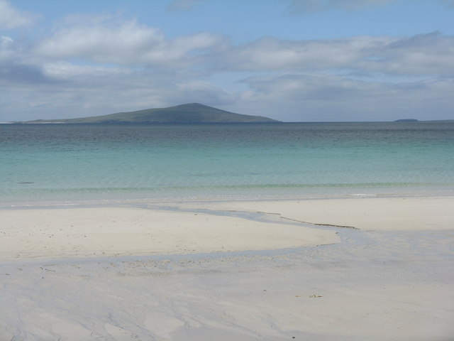
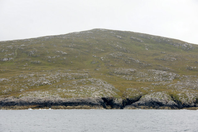
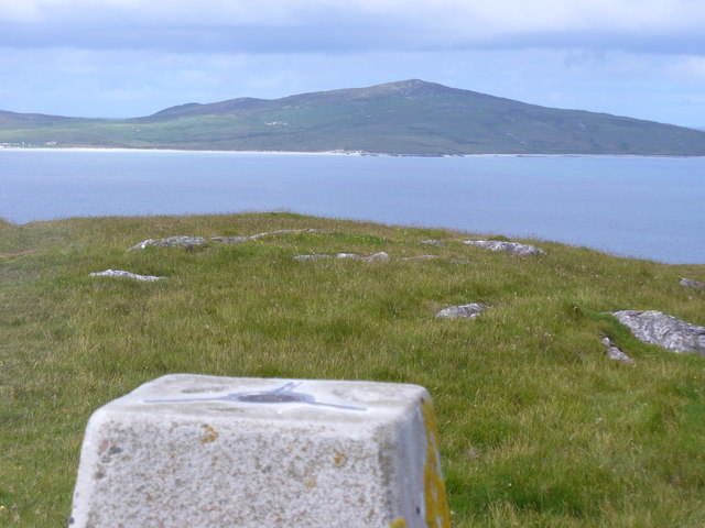
Beinn a' Charnain is a hill located in Inverness-shire, Scotland. It is part of the larger mountain range known as the Monadhliath Mountains. The hill stands at an elevation of 855 meters (2,805 feet) above sea level, making it a popular destination for hikers and outdoor enthusiasts looking to enjoy stunning views of the surrounding landscape.

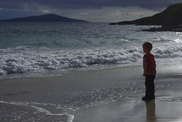
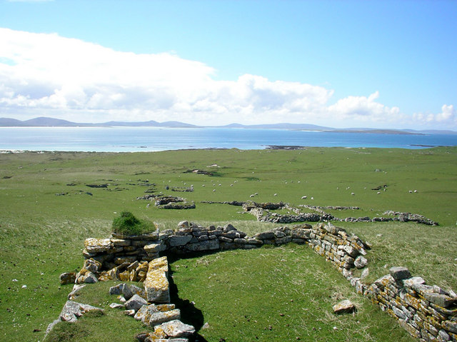
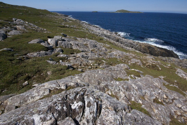
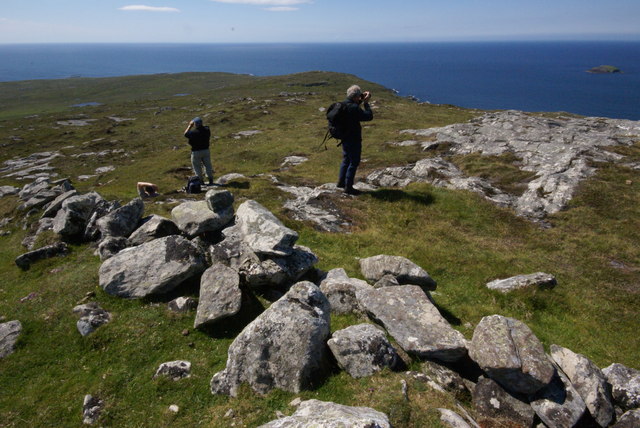
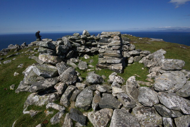
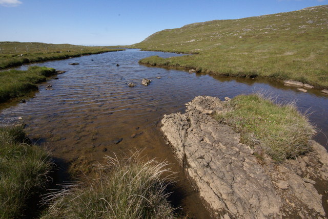
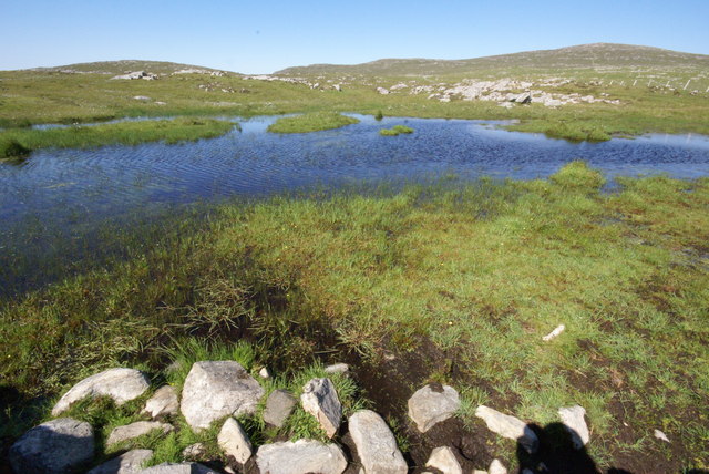
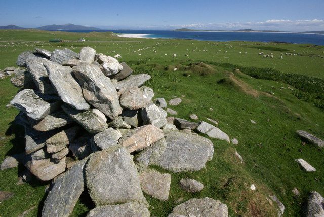
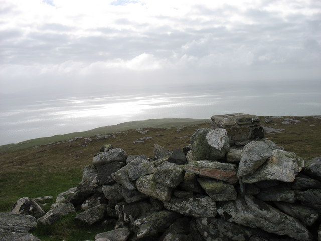
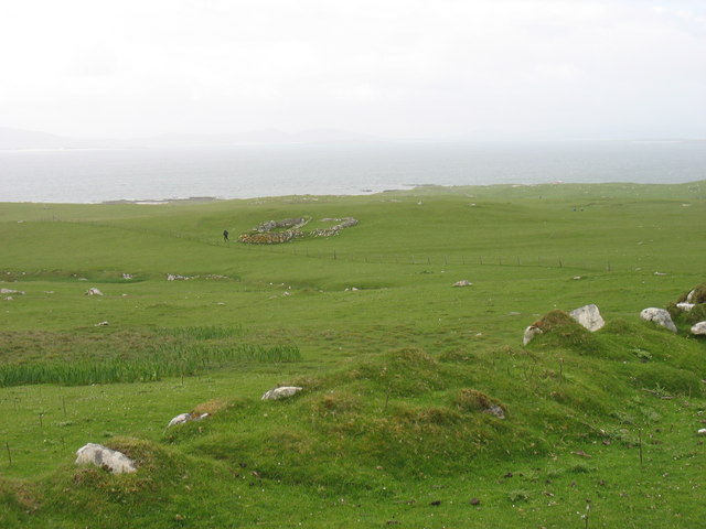
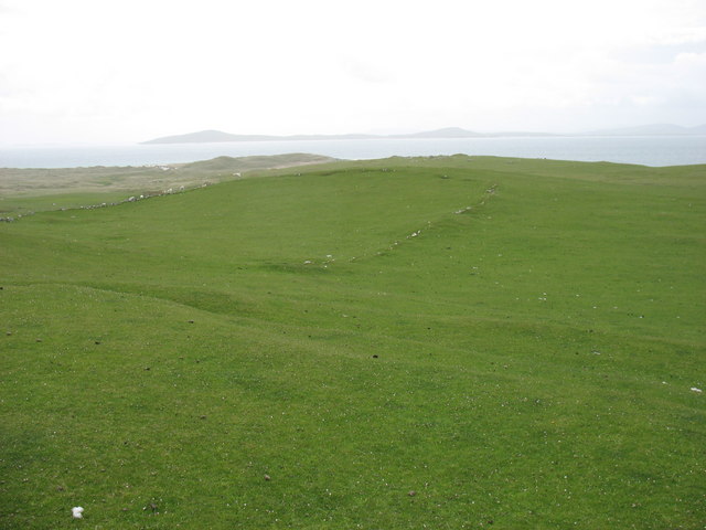
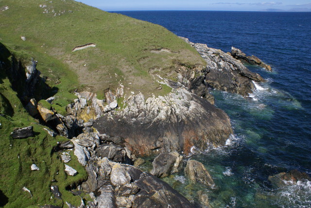
The terrain of Beinn a' Charnain is characterized by rugged slopes covered in heather and grasses, with rocky outcrops scattered throughout. The hill is known for its challenging but rewarding hiking trails, offering panoramic views of the surrounding countryside, including the nearby Loch Ness.

Wildlife is abundant in the area, with opportunities to spot native species such as red deer, mountain hares, and various bird species. The hill is also home to a variety of plant life, including heather, grasses, and wildflowers.

Overall, Beinn a' Charnain is a picturesque and tranquil destination for those looking to explore the natural beauty of the Scottish Highlands.

If you have any feedback on the listing, please let us know in the comments section below.

Beinn a' Charnain Images

Images are sourced within 2km of 57.777909/-7.2270987 or Grid Reference NF8988. Thanks to Geograph Open Source API. All images are credited.

Pabbay/Pabaigh, a view from Northton Looking west from over Tràigh na h-Uidhe to the island, 9km away. The smaller island to the right is Shillay/Siolaigh.
Pabbay/Pabaigh, a view from Northton
Looking west from over Tràigh na h-Uidhe to the island, 9km away. The smaller island to the right is Shillay/Siolaigh.
North coast of Pabbay (Pabaigh) With the hill of Beinn a' Charnain in the background.
North coast of Pabbay (Pabaigh)
With the hill of Beinn a' Charnain in the background.
Pabbay / Pabaigh Pabbay island seen from the trig point on Ben Leva, Berneray.
<span class="nowrap"><a title="http://www.isleofberneray.com/" rel="nofollow ugc noopener" href="http://www.isleofberneray.com/">Link</a><img style="margin-left:2px;" alt="External link" title="External link - shift click to open in new window" src="https://s1.geograph.org.uk/img/external.png" width="10" height="10"/></span>
Pabbay / Pabaigh
Pabbay island seen from the trig point on Ben Leva, Berneray. LinkExternal link
Young King Canute Young boy looking towards Pabbay from Northton beach.
Young King Canute
Young boy looking towards Pabbay from Northton beach.
Baile Lingay The ruins of Baile Lingay on the isle of Pabbay. The village was cleared of its people in 1843.
Baile Lingay
The ruins of Baile Lingay on the isle of Pabbay. The village was cleared of its people in 1843.
Coast North Pabbay The island of Shillay is seen centre right.
Coast North Pabbay
The island of Shillay is seen centre right.
Views from Beinn a' Charnain Little Shillay is seen offshore on the right
Views from Beinn a' Charnain
Little Shillay is seen offshore on the right
Beinn a'Charnain, Pabbay This is one of the island summits of the Relative Hills of Britain (Marilyns).
Beinn a'Charnain, Pabbay
This is one of the island summits of the Relative Hills of Britain (Marilyns).
Loch Heddal More Pabbay's largest freshwater loch
Loch Heddal More
Pabbay's largest freshwater loch
Pabbay - unnamed lochan The small hill of Meahall shows top right.
Pabbay - unnamed lochan
The small hill of Meahall shows top right.
Baile Na Ceal, Pabbay This area was the main of four small townships on Pabbay in the 17th Century.  Today visiting shepherds stay in the house above the cairn.
Baile Na Ceal, Pabbay
This area was the main of four small townships on Pabbay in the 17th Century. Today visiting shepherds stay in the house above the cairn.
The upper slopes of Beinn a'Charnain, Pabbay Pabbay is a now uninhabited island at the west end of the Sound of Harris. This photo was taken from the summit of the island, Beinn a'Charnain, 196m, on a very windy day.
The upper slopes of Beinn a'Charnain, Pabbay
Pabbay is a now uninhabited island at the west end of the Sound of Harris. This photo was taken from the summit of the island, Beinn a'Charnain, 196m, on a very windy day.
A former settlement on Pabbay Pabbay is a now uninhabited island at the west end of the Sound of Harris.
A former settlement on Pabbay
Pabbay is a now uninhabited island at the west end of the Sound of Harris.
Pabbay - an old field boundary The southern slopes of Pabbay show much evidence of habitation and agriculture in days gone by.
The island in the distance (on the left) is Berneray.
Pabbay - an old field boundary
The southern slopes of Pabbay show much evidence of habitation and agriculture in days gone by. The island in the distance (on the left) is Berneray.
Seana Chaisteal on Pabbay This mound is all that’s left of Seana Chaisteal (the old castle). It was here that Macleod of Lewis hid out “when he was fearit”.
Seana Chaisteal on Pabbay
This mound is all that’s left of Seana Chaisteal (the old castle). It was here that Macleod of Lewis hid out “when he was fearit”.
Rubh' an t-Seana-chaisteil Looking along Traigh an t-Seana-chaisteil
Rubh' an t-Seana-chaisteil
Looking along Traigh an t-Seana-chaisteil
Traigh Baile Fo Thuath, Pabbay Beach on the eastern side of Pabbay
Traigh Baile Fo Thuath, Pabbay
Beach on the eastern side of Pabbay
Coastline, Eastern Pabbay This stream meets the Gneiss coastline below Baile-fo-thuath.
Coastline, Eastern Pabbay
This stream meets the Gneiss coastline below Baile-fo-thuath.
Show me another place!

Beinn a' Charnain is located at Grid Ref: NF8988 (Lat: 57.777909, Lng: -7.2270987)

Unitary Authority: Na h-Eileanan an Iar

Police Authority: Highlands and Islands

What 3 Words

///relaxed.spike.trifling. Near Leverburgh, Na h-Eileanan Siar

Nearby Locations

Beinn a' Charnain

Related Wikis

Pabbay, Harris

Pabbay (Scottish Gaelic: Pabaigh) is an uninhabited island in the Outer Hebrides of Scotland which lies in the Sound of Harris between Harris and North...

Shillay

Shillay (Scottish Gaelic: Siolaigh) is an uninhabited island which lies 2 km north of Pabbay in the Outer Hebrides of Scotland. The name is derived from...

Berneray (North Uist)

Berneray (Scottish Gaelic: Beàrnaraigh na Hearadh) is an island and community in the Sound of Harris, Scotland. It is one of fifteen inhabited islands...

Boreray, North Uist

Boreray (Scottish Gaelic: Boraraigh) is an island with a single croft, lying 2 kilometres (1.2 mi) north of North Uist in the Outer Hebrides of Scotland...

Nearby Amenities

Located within 500m of 57.777909,-7.2270987
Beinn a' Chàrnain
Corbett: no
Ele: 196
Graham: no
Marilyn: yes
Munro: no
Natural: peak
Prominence: 196
Lat/Long: 57.7779569/-7.2271838
The data included in this document is from www.openstreetmap.org. The data is made available under ODbL.

Have you been to Beinn a' Charnain?

Leave your review of Beinn a' Charnain below (or comments, questions and feedback).