Beinn Ailein

Hill, Mountain in Inverness-shire

Scotland

Beinn Ailein
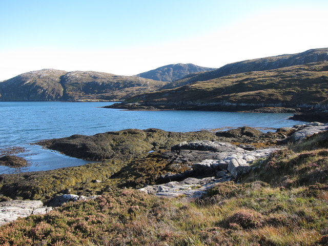
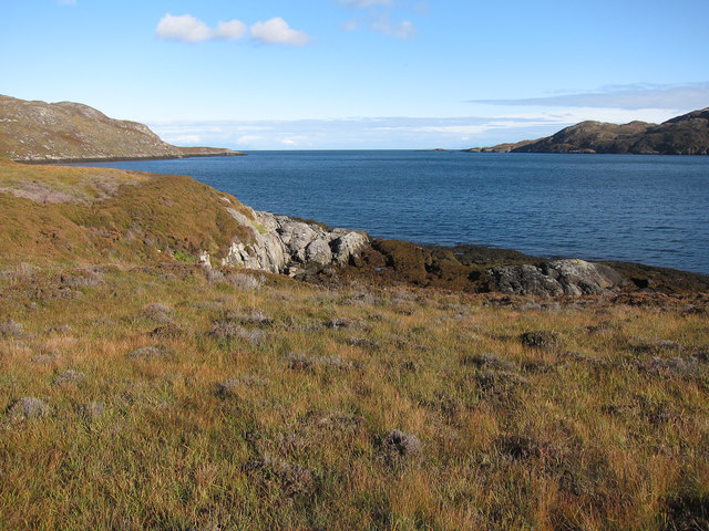
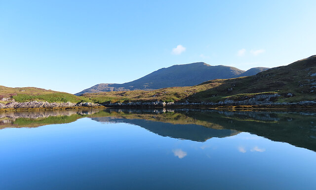
Mouth of Loch Eynort East coast of South Uist.
Mouth of Loch Eynort Credit: Hugh Venables

The requested URL returned error: 429 Too Many Requests

If you have any feedback on the listing, please let us know in the comments section below.

Beinn Ailein Images

Images are sourced within 2km of 57.212497/-7.3083773 or Grid Reference NF7926. Thanks to Geograph Open Source API. All images are credited.

Mouth of Loch Eynort East coast of South Uist.
Mouth of Loch Eynort
East coast of South Uist.
Rubha Laileum Near the mouth of Loch Aineort.
Rubha Laileum
Near the mouth of Loch Aineort.
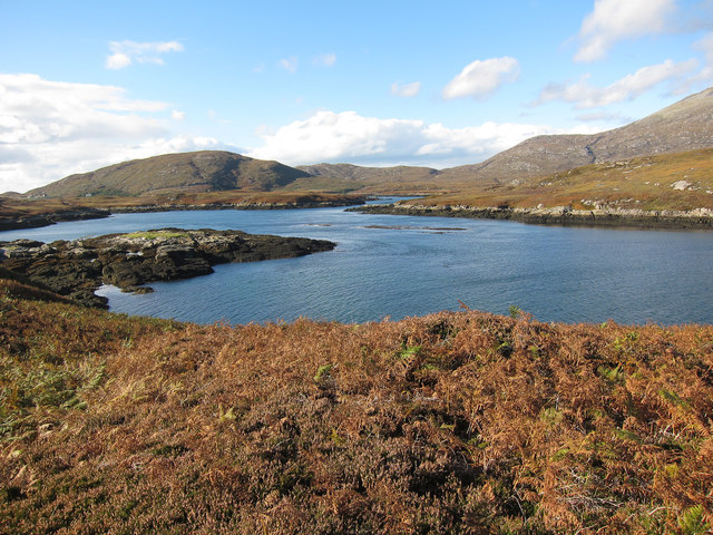
Rubha nan Sruthan Looking over Sruthan Beag.
Rubha nan Sruthan
Looking over Sruthan Beag.
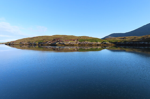
Loch Eynort Narrow stretch near the eastern end.
Loch Eynort
Narrow stretch near the eastern end.
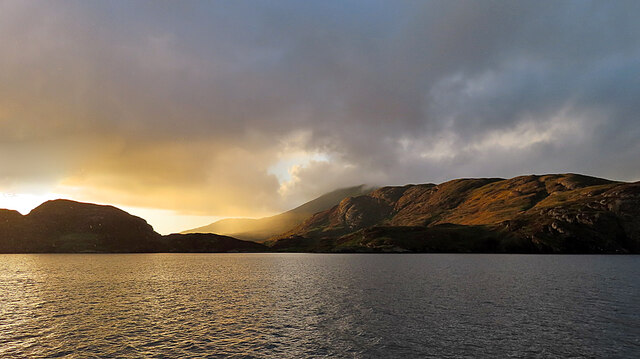
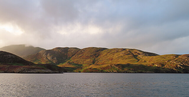
Evening Sunshine After some gloomy weather, the setting sun broke through the clouds for a short fine spell.
Evening Sunshine
After some gloomy weather, the setting sun broke through the clouds for a short fine spell.
Meall Mòr Evening light on the north side of Loch Aineort.
Meall Mòr
Evening light on the north side of Loch Aineort.
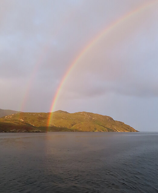
Evening Rainbow A double rainbow making landfall on the north side of Loch Aineort.
Evening Rainbow
A double rainbow making landfall on the north side of Loch Aineort.
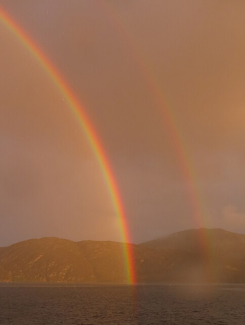
Double Rainbow Fuelled by a very heavy shower, this is one of the most magnificent rainbows I've ever seen.
Double Rainbow
Fuelled by a very heavy shower, this is one of the most magnificent rainbows I've ever seen.
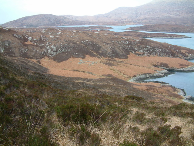
Rubha nan Sruthan The peninsula on the north side of the narrowest part of Loch Aineort.
Rubha nan Sruthan
The peninsula on the north side of the narrowest part of Loch Aineort.
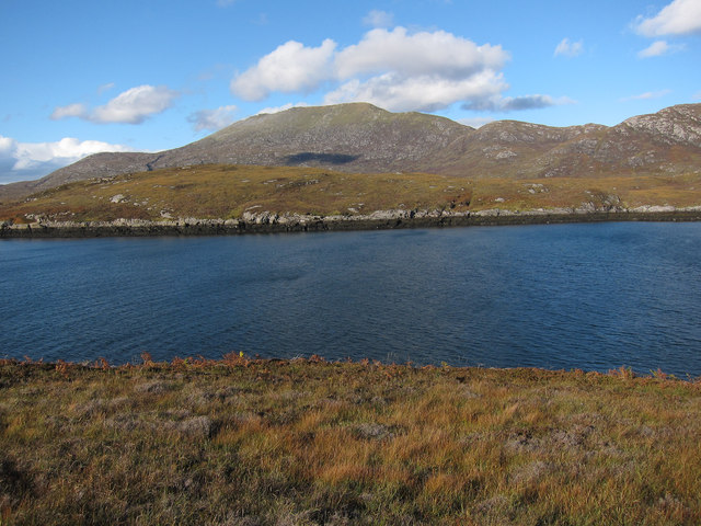
Loch Aineort An inlet east of Rubha nan Sruthan. The hill in the background is Beinn Mhòr.
Loch Aineort
An inlet east of Rubha nan Sruthan. The hill in the background is Beinn Mhòr.
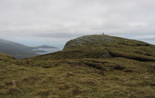
Summit of Stulabhal Stulabhal at 374m is the highest of the middle group of South Uist hills. Because of the exposed island setting it feels a lot higher.
Summit of Stulabhal
Stulabhal at 374m is the highest of the middle group of South Uist hills. Because of the exposed island setting it feels a lot higher.
Old shieling
Old shieling
Loch Snigiscleit
Loch Snigiscleit
Below Stulabhal Looking across the bog and deep grass to Loch Drollabhat (in next square). At the foot of the west ridge of Stulabhal.
Below Stulabhal
Looking across the bog and deep grass to Loch Drollabhat (in next square). At the foot of the west ridge of Stulabhal.
On Airneabhal A peaty lochan in one of the many folds in the gneiss plateau at the top of this hill.  Gneiss is incredibly old, Some of the rocks on the Western Isles have been dated at about 2.8 billion years before the present day.
On Airneabhal
A peaty lochan in one of the many folds in the gneiss plateau at the top of this hill. Gneiss is incredibly old, Some of the rocks on the Western Isles have been dated at about 2.8 billion years before the present day.
Loch Drollabhat
Loch Drollabhat
Loch Snigiscleit from the North shore
Loch Snigiscleit
Loch Snigiscleit
Show me another place!

Beinn Ailein is located at Grid Ref: NF7926 (Lat: 57.212497, Lng: -7.3083773)

Unitary Authority: Na h-Eileanan an Iar

Police Authority: Highlands and Islands

What 3 Words

///piglet.fearfully.stumps. Near Lochboisdale, Na h-Eileanan Siar

Nearby Locations

Kirkidale Beinn Ailein

Related Wikis

Stuley

Stuley is an island lying to the east of South Uist in the Outer Hebrides, Scotland. It lies off the section of coastline between Loch Eynort and Loch...

Beinn Mhòr (South Uist)

Beinn Mhòr is a mountain on the island of South Uist in the Outer Hebrides of Scotland. With a height of 620 metres (2,034 ft), it is the highest point...

Auratote

Auratote (Scottish Gaelic: Oratobht) is a location on South Uist in the Outer Hebrides, Scotland. Auratote is within the parish of South Uist. == References... ==

Milton (South Uist)

Milton (Scottish Gaelic: Geàrraidh Bhailteas) is the name of a tack or tenant farm on the island of South Uist in the Outer Hebrides, Scotland. It was...

Nearby Amenities

Located within 500m of 57.212497,-7.3083773
Beinn Ailein
Ele: 182
Natural: peak
Lat/Long: 57.2124513/-7.3077321
The data included in this document is from www.openstreetmap.org. The data is made available under ODbL.

Have you been to Beinn Ailein?

Leave your review of Beinn Ailein below (or comments, questions and feedback).