Beinn Stac

Hill, Mountain in Inverness-shire

Scotland

Beinn Stac

Sheisinis A rocky beach and tidal island at the mouth of Acairseid Mhòr, a sea loch on the east side of Eriskay.
Sheisinis Credit: Richard Webb

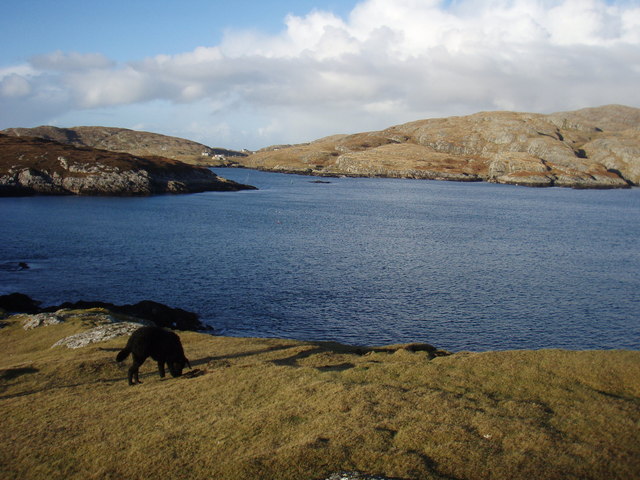
Beinn Stac is a prominent hill located in the region of Inverness-shire, Scotland. Rising to a height of approximately 646 meters (2,119 feet), it is considered a popular destination for hikers and outdoor enthusiasts. The hill is situated within the expansive Cairngorms National Park, which is renowned for its picturesque landscapes and diverse wildlife.

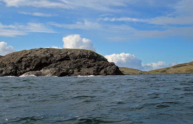
Beinn Stac offers breathtaking panoramic views of the surrounding area, including the stunning Lochindorb and the rolling hills of the Highlands. Its distinctive shape and rugged terrain make it a distinctive landmark in the region. The hill is composed of rocky slopes and grassy meadows, providing a challenging but rewarding experience for climbers.

The ascent of Beinn Stac typically starts from the nearby village of Grantown-on-Spey, where a well-defined path leads towards the summit. Along the way, hikers can enjoy the sight of various flora and fauna, such as heather and mountain hares. Birdwatchers may also spot species like golden eagles and ptarmigans.

Due to its accessibility and relatively moderate difficulty level, Beinn Stac attracts a range of visitors, from experienced mountaineers to casual walkers. It is advisable to check weather conditions and carry appropriate equipment before embarking on the climb.

Beinn Stac offers a unique opportunity to immerse oneself in the natural beauty of the Scottish Highlands. With its stunning vistas and challenging trails, it is no wonder that this hill continues to be a favorite among outdoor enthusiasts seeking a memorable adventure in Inverness-shire.

If you have any feedback on the listing, please let us know in the comments section below.
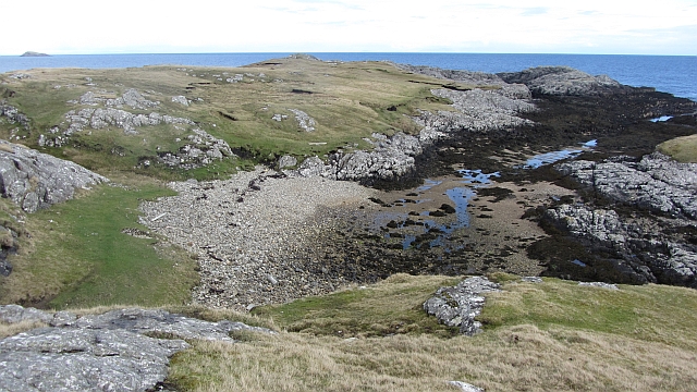
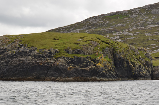
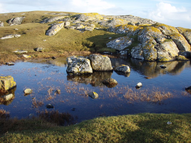
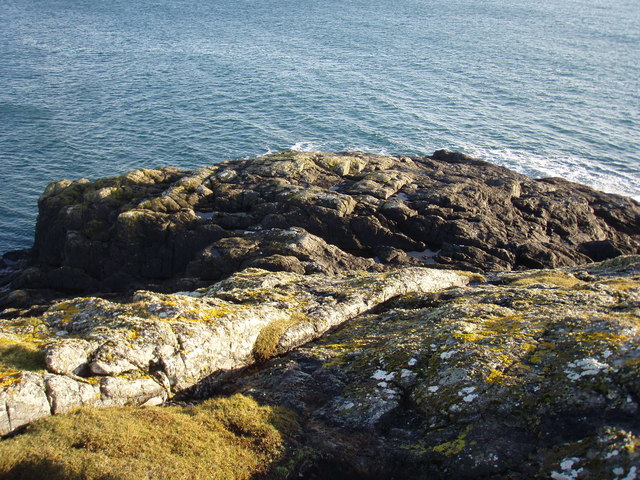
Beinn Stac Images

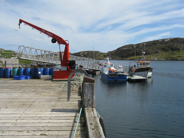
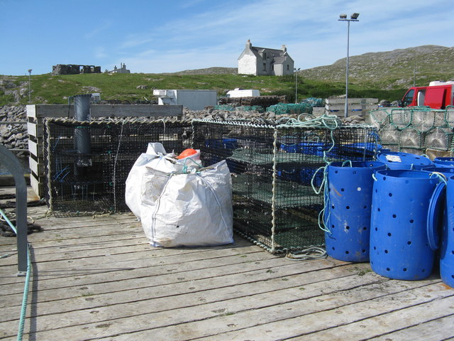
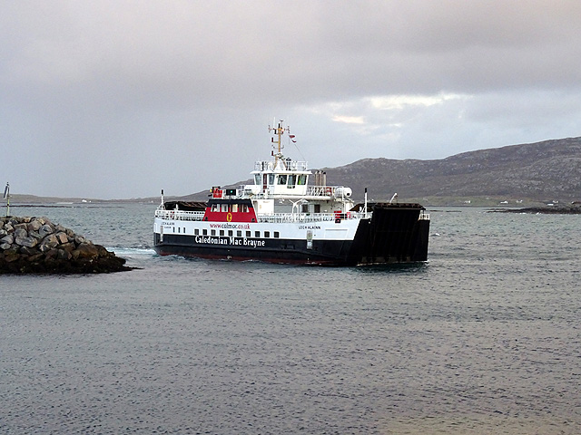
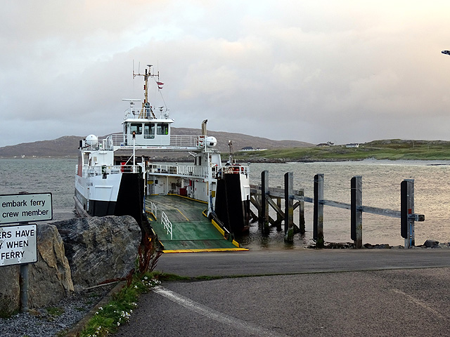
Images are sourced within 2km of 57.060705/-7.297286 or Grid Reference NF7909. Thanks to Geograph Open Source API. All images are credited.

Sheisinis A rocky beach and tidal island at the mouth of Acairseid Mhòr, a sea loch on the east side of Eriskay.
Sheisinis
A rocky beach and tidal island at the mouth of Acairseid Mhòr, a sea loch on the east side of Eriskay.
Rubha Liath A headland to the south of the entrance to Big Harbour (Acairseid Mhòr) on Eriskay.
Rubha Liath
A headland to the south of the entrance to Big Harbour (Acairseid Mhòr) on Eriskay.
Small pool on Rubha Liath The peninsula was characterised by short grass with rocky outcrops ending in a rocky point.
Small pool on Rubha Liath
The peninsula was characterised by short grass with rocky outcrops ending in a rocky point.
Rubha Liath The rocky end of the point.
Rubha Liath
The rocky end of the point.
Acairseid Mhòr Taken from Rubha Liath this loch cuts deep into Eriskay.
Acairseid Mhòr
Taken from Rubha Liath this loch cuts deep into Eriskay.
Rubha Liath and looking into Acairseid Mhòr
Slipway for Barra ferry
Jetty at Acairseid Giving access to Acairseid Mhòr and the Sound of Barra.
Jetty at Acairseid
Giving access to Acairseid Mhòr and the Sound of Barra.
Jetty and boats at Acairseid At Acairseid Mhòr.
Jetty and boats at Acairseid
At Acairseid Mhòr.
The jetty at Acairseid The three-storey cages are used as 'keep nets', for storing catches until required.
The jetty at Acairseid
The three-storey cages are used as 'keep nets', for storing catches until required.
The ferry from Barra arriving at Eriskay The ferry terminal at Ceann a' Ghàraidh on Eriskay was opened in 2001 when the Eriskay causeway was opened. The service is currently operated by the MV 'Loch Alainn'.
The ferry from Barra arriving at Eriskay
The ferry terminal at Ceann a' Ghàraidh on Eriskay was opened in 2001 when the Eriskay causeway was opened. The service is currently operated by the MV 'Loch Alainn'.
Waiting to board the Barra ferry on Eriskay
Ferry slip for the Barra ferry The camera has caught out the electronic sign - it was functioning perfectly but the camera shutter was too fast!
Ferry slip for the Barra ferry
The camera has caught out the electronic sign - it was functioning perfectly but the camera shutter was too fast!
'Sea Breeze' - CY272 A 6.79m fibre glass fishing boat, registered in North Uist, moored in the harbour at Coilleag on Eriskay/Eiriosgaigh.
'Sea Breeze' - CY272
A 6.79m fibre glass fishing boat, registered in North Uist, moored in the harbour at Coilleag on Eriskay/Eiriosgaigh.
Harbour at Coilleag Looking across the ferry terminal to the beach at Traigh Leis. The boat is the 'Sea Breeze' <a href="https://www.geograph.org.uk/photo/5000443">NF7810 : 'Sea Breeze' - CY272</a>.
Harbour at Coilleag
Looking across the ferry terminal to the beach at Traigh Leis. The boat is the 'Sea Breeze' NF7810 : 'Sea Breeze' - CY272.
Fishing boat at Coilleag The 'Sea Breeze' moored in harbour.
Fishing boat at Coilleag
The 'Sea Breeze' moored in harbour.
The beachcomber The southern end of Traigh Leis, looking to the terminal for the ferry from Barra.
The beachcomber
The southern end of Traigh Leis, looking to the terminal for the ferry from Barra.
Traigh Leis on Eriskay Looking north to Balla/Baile.
Traigh Leis on Eriskay
Looking north to Balla/Baile.
Show me another place!

Beinn Stac is located at Grid Ref: NF7909 (Lat: 57.060705, Lng: -7.297286)

Unitary Authority: Na h-Eileanan an Iar

Police Authority: Highlands and Islands

What 3 Words

///replying.path.pleasing. Near Lochboisdale, Na h-Eileanan Siar

Related Wikis

Eriskay

Eriskay (Scottish Gaelic: Èirisgeigh), from the Old Norse for "Eric's Isle", is an island and community council area of the Outer Hebrides in northern...

Ceann a' Ghàraidh

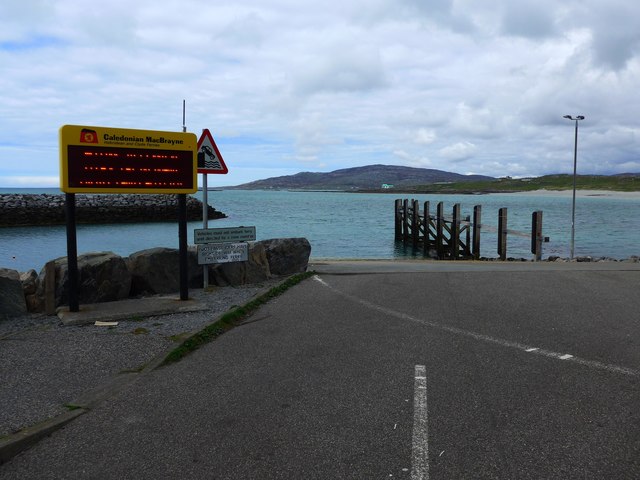
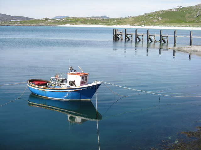
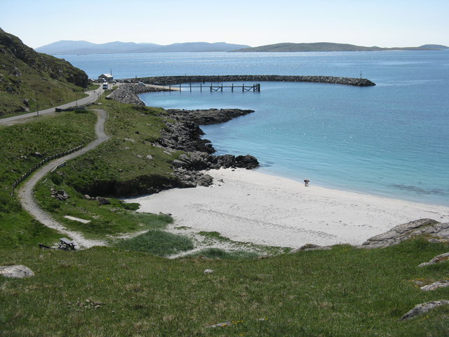
Ceann a' Ghàraidh is the location of the ferry terminal on the south-western side of the island of Eriskay in the Outer Hebrides of Scotland. It provides...

Beinn Sciathan

Ben Scrien, is the highest point on the Outer Hebridean island of Eriskay. Described as an apparently "uninspiring lump" (Michael Fitzpatrick, 2012) it...

St Michael's Church, Eriskay

St Michael's Church (also known as St Michael's of the Sea) is a Category C listed building in Eriskay, South Uist, Scotland. Of Roman Catholic denomination...

Nearby Amenities

Located within 500m of 57.060705,-7.297286
Beinn nan Stac
Corbett: no
Ele: 125
Graham: no
Marilyn: no
Munro: no
Name En: Ben Stack
Name Gd: Beinn nan Stac
Natural: peak
Lat/Long: 57.0605818/-7.2973075
Power: pole
Lat/Long: 57.0649825/-7.2954395
Power: pole
Lat/Long: 57.0647797/-7.2948307
Power: pole
Lat/Long: 57.0645224/-7.2940663
Power: pole
Lat/Long: 57.0643211/-7.2934212
Power: pole
Lat/Long: 57.0641972/-7.2930363
The data included in this document is from www.openstreetmap.org. The data is made available under ODbL.

Have you been to Beinn Stac?

Leave your review of Beinn Stac below (or comments, questions and feedback).