Loch a' Chapuill

Lake, Pool, Pond, Freshwater Marsh in Inverness-shire

Scotland

Loch a' Chapuill

Sheisinis A rocky beach and tidal island at the mouth of Acairseid Mhòr, a sea loch on the east side of Eriskay.
Sheisinis Credit: Richard Webb

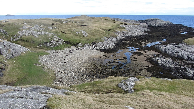
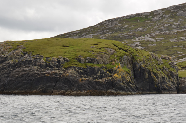
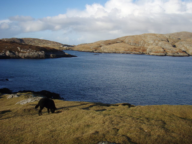
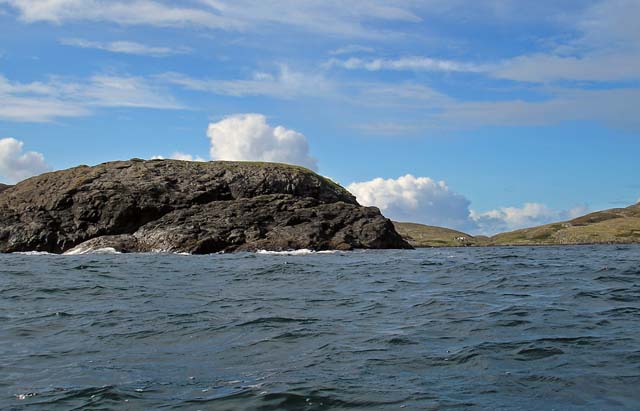
Loch a' Chapuill, located in Inverness-shire, Scotland, is a picturesque freshwater loch nestled amidst the stunning Scottish Highlands. It stretches over an area of approximately 10 acres, offering visitors a tranquil and serene environment to unwind and appreciate the surrounding natural beauty.

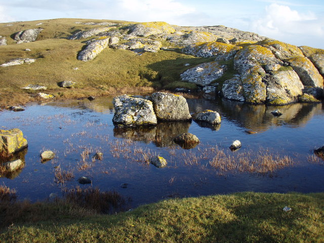
Surrounded by lush greenery and rolling hills, Loch a' Chapuill boasts crystal-clear waters that reflect the ever-changing colors of the sky. The loch is fed by several small streams and springs, ensuring a constant flow of fresh water throughout the year. Its depth varies, with the deepest point reaching around 10 meters, providing a suitable habitat for a diverse range of aquatic wildlife.

The loch is also home to an abundance of plant life, including water lilies and reeds, which create a vibrant and flourishing freshwater marsh ecosystem. This, in turn, attracts a variety of bird species, such as ducks, swans, and herons, making the loch a popular spot for birdwatching enthusiasts.

For those seeking recreational activities, Loch a' Chapuill offers opportunities for fishing, with salmon and trout being the predominant species. Anglers can enjoy a peaceful day on the water, hoping for a prized catch.

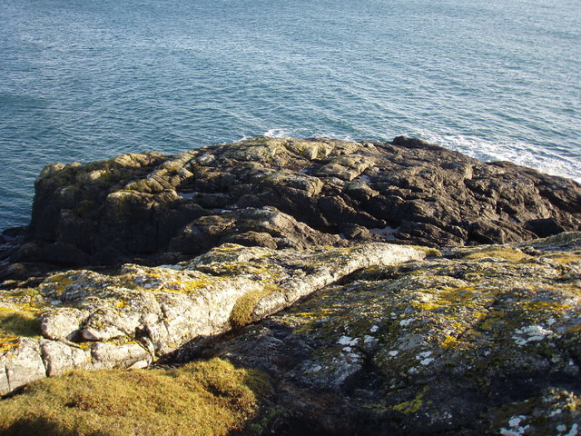
The surrounding area of Loch a' Chapuill is a haven for outdoor enthusiasts, with numerous walking trails and hiking routes, providing breathtaking views of the loch and its surroundings. It is also a popular spot for picnicking, allowing visitors to enjoy a peaceful meal while taking in the natural beauty of the loch.

Overall, Loch a' Chapuill is a hidden gem in Inverness-shire, offering a delightful combination of scenic landscapes, diverse wildlife, and recreational activities, making it a must-visit destination for nature lovers and those seeking tranquility amidst the Scottish Highlands.

If you have any feedback on the listing, please let us know in the comments section below.

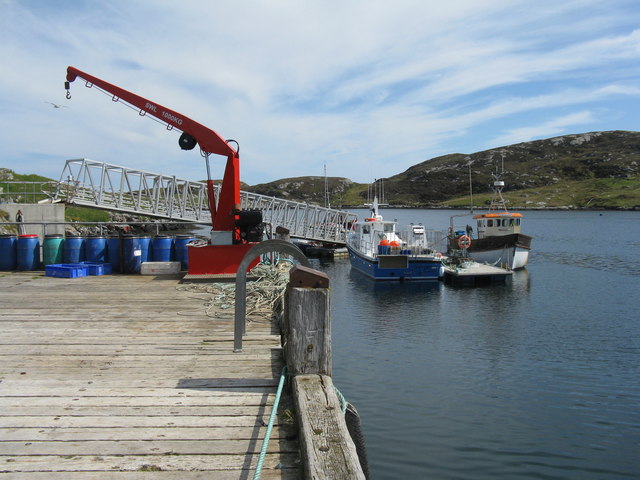
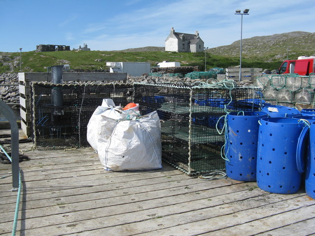
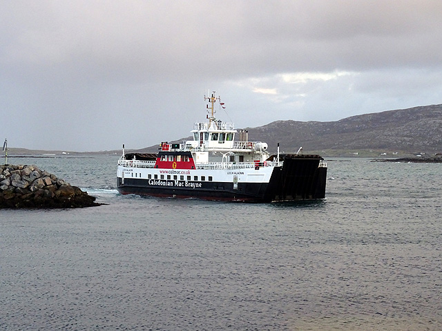
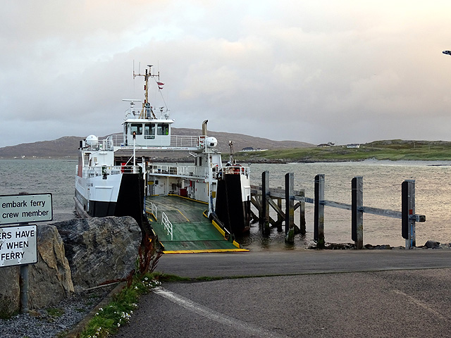
Loch a' Chapuill Images

Images are sourced within 2km of 57.062396/-7.2856184 or Grid Reference NF7909. Thanks to Geograph Open Source API. All images are credited.

Sheisinis A rocky beach and tidal island at the mouth of Acairseid Mhòr, a sea loch on the east side of Eriskay.
Sheisinis
A rocky beach and tidal island at the mouth of Acairseid Mhòr, a sea loch on the east side of Eriskay.
Rubha Liath A headland to the south of the entrance to Big Harbour (Acairseid Mhòr) on Eriskay.
Rubha Liath
A headland to the south of the entrance to Big Harbour (Acairseid Mhòr) on Eriskay.
Small pool on Rubha Liath The peninsula was characterised by short grass with rocky outcrops ending in a rocky point.
Small pool on Rubha Liath
The peninsula was characterised by short grass with rocky outcrops ending in a rocky point.
Rubha Liath The rocky end of the point.
Rubha Liath
The rocky end of the point.
Acairseid Mhòr Taken from Rubha Liath this loch cuts deep into Eriskay.
Acairseid Mhòr
Taken from Rubha Liath this loch cuts deep into Eriskay.
Rubha Liath and looking into Acairseid Mhòr
Beinn Sciathan on Eriskay/Eiriosgaigh View from South Uist.
Beinn Sciathan on Eriskay/Eiriosgaigh
View from South Uist.
Slipway for Barra ferry
Beinn Sciathan from Rubha Basadearn
Jetty at Acairseid Giving access to Acairseid Mhòr and the Sound of Barra.
Jetty at Acairseid
Giving access to Acairseid Mhòr and the Sound of Barra.
Jetty and boats at Acairseid At Acairseid Mhòr.
Jetty and boats at Acairseid
At Acairseid Mhòr.
The jetty at Acairseid The three-storey cages are used as 'keep nets', for storing catches until required.
The jetty at Acairseid
The three-storey cages are used as 'keep nets', for storing catches until required.
The ferry from Barra arriving at Eriskay The ferry terminal at Ceann a' Ghàraidh on Eriskay was opened in 2001 when the Eriskay causeway was opened. The service is currently operated by the MV 'Loch Alainn'.
The ferry from Barra arriving at Eriskay
The ferry terminal at Ceann a' Ghàraidh on Eriskay was opened in 2001 when the Eriskay causeway was opened. The service is currently operated by the MV 'Loch Alainn'.
Waiting to board the Barra ferry on Eriskay
Ferry slip for the Barra ferry The camera has caught out the electronic sign - it was functioning perfectly but the camera shutter was too fast!
Ferry slip for the Barra ferry
The camera has caught out the electronic sign - it was functioning perfectly but the camera shutter was too fast!
'Sea Breeze' - CY272 A 6.79m fibre glass fishing boat, registered in North Uist, moored in the harbour at Coilleag on Eriskay/Eiriosgaigh.
'Sea Breeze' - CY272
A 6.79m fibre glass fishing boat, registered in North Uist, moored in the harbour at Coilleag on Eriskay/Eiriosgaigh.
Harbour at Coilleag Looking across the ferry terminal to the beach at Traigh Leis. The boat is the 'Sea Breeze' <a href="https://www.geograph.org.uk/photo/5000443">NF7810 : 'Sea Breeze' - CY272</a>.
Harbour at Coilleag
Looking across the ferry terminal to the beach at Traigh Leis. The boat is the 'Sea Breeze' NF7810 : 'Sea Breeze' - CY272.
Fishing boat at Coilleag The 'Sea Breeze' moored in harbour.
Fishing boat at Coilleag
The 'Sea Breeze' moored in harbour.
Show me another place!

Loch a' Chapuill is located at Grid Ref: NF7909 (Lat: 57.062396, Lng: -7.2856184)

Unitary Authority: Na h-Eileanan an Iar

Police Authority: Highlands and Islands

What 3 Words

///exits.nickname.giggle. Near Lochboisdale, Na h-Eileanan Siar

Related Wikis

Eriskay

Eriskay (Scottish Gaelic: Èirisgeigh), from the Old Norse for "Eric's Isle", is an island and community council area of the Outer Hebrides in northern...

Ceann a' Ghàraidh

Ceann a' Ghàraidh is the location of the ferry terminal on the south-western side of the island of Eriskay in the Outer Hebrides of Scotland. It provides...

Beinn Sciathan

Ben Scrien, is the highest point on the Outer Hebridean island of Eriskay. Described as an apparently "uninspiring lump" (Michael Fitzpatrick, 2012) it...

St Michael's Church, Eriskay

St Michael's Church (also known as St Michael's of the Sea) is a Category C listed building in Eriskay, South Uist, Scotland. Of Roman Catholic denomination...

Nearby Amenities

Located within 500m of 57.062396,-7.2856184
Created By: dmgroom_coastlines
Lat/Long: 57.06509/-7.2896
Seamark Light Category: upper
Seamark Light Character: Oc
Seamark Light Colour: red
Seamark Light Height: 10
Seamark Light Period: 6
Seamark Light Range: 4
Seamark Light Reference: A 4011.51
Seamark Light Sequence: 4+(2)
Seamark Name: Acairsaid Mhòr Ldg Lts
Seamark Type: light_minor
Source: US NGA Pub. 114. 2011-05-26.
Lat/Long: 57.0650227/-7.2876351
Seamark Light Category: lower
Seamark Light Character: Oc
Seamark Light Colour: red
Seamark Light Height: 9
Seamark Light Period: 6
Seamark Light Range: 4
Seamark Light Reference: A 4011.5
Seamark Light Sequence: 4+(2)
Seamark Name: Acairsaid Mhòr Ldg Lts
Seamark Type: light_minor
Source: US NGA Pub. 114. 2011-05-26.
Lat/Long: 57.0649667/-7.28725
Power: pole
Lat/Long: 57.0641972/-7.2930363
Meall Ainort
Place: locality
Lat/Long: 57.0595601/-7.288592
An Rubha Mòr
Alt Name: Rubha Liath;Rubha Iain Roisinis
Natural: cape
Lat/Long: 57.0619519/-7.2792364
Sloc Liath
Natural: bay
Lat/Long: 57.0604008/-7.2828963
A' Ghlaic Mhòr
Natural: bay
Lat/Long: 57.0585263/-7.2838967
The data included in this document is from www.openstreetmap.org. The data is made available under ODbL.

Have you been to Loch a' Chapuill?

Leave your review of Loch a' Chapuill below (or comments, questions and feedback).