Beinn Cracabhaig

Hill, Mountain in Inverness-shire

Scotland

Beinn Cracabhaig

Sheisinis A rocky beach and tidal island at the mouth of Acairseid Mhòr, a sea loch on the east side of Eriskay.
Sheisinis Credit: Richard Webb

The requested URL returned error: 429 Too Many Requests

If you have any feedback on the listing, please let us know in the comments section below.

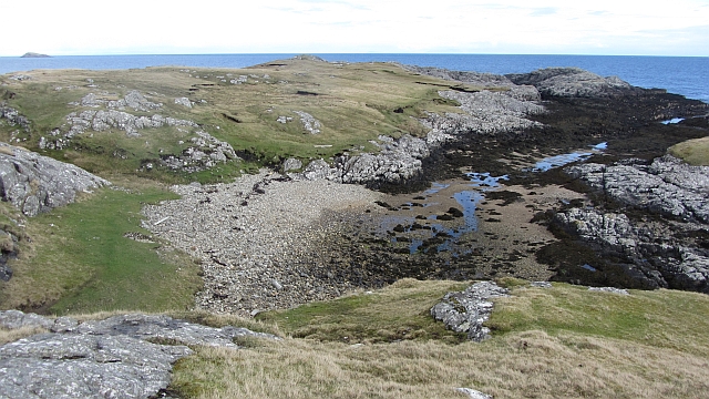
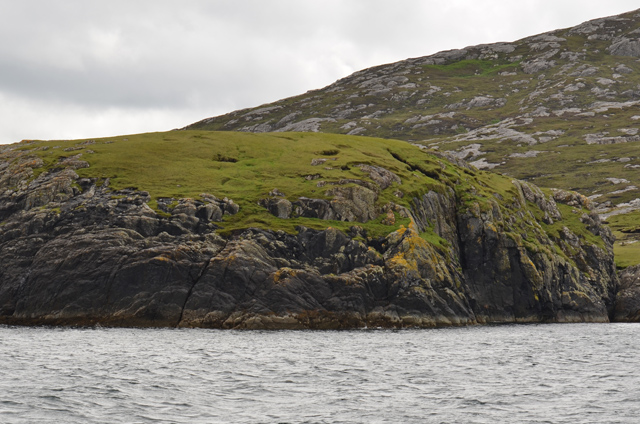
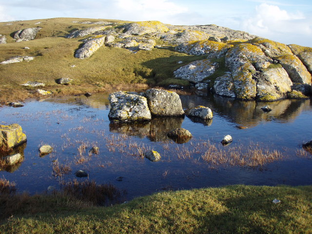
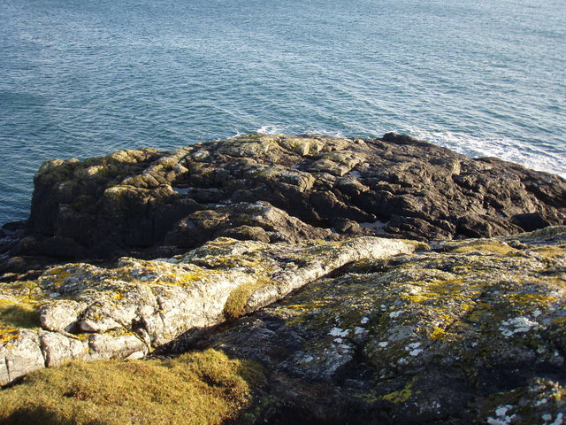
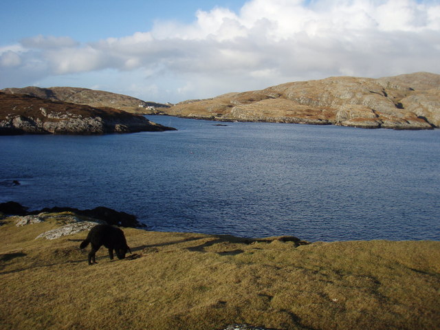
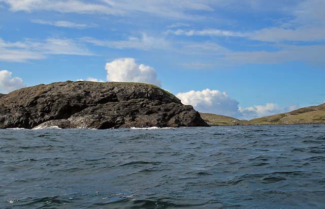
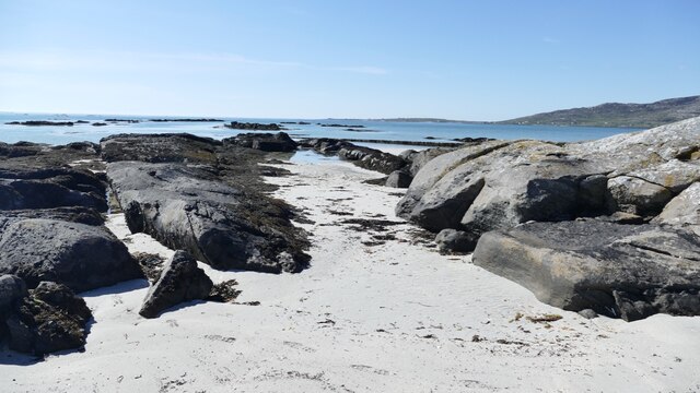
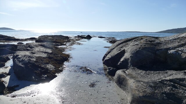
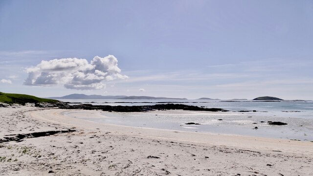
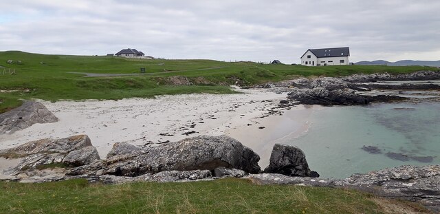
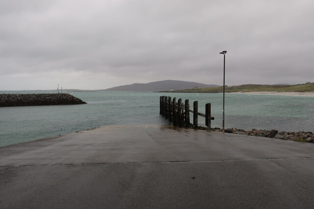
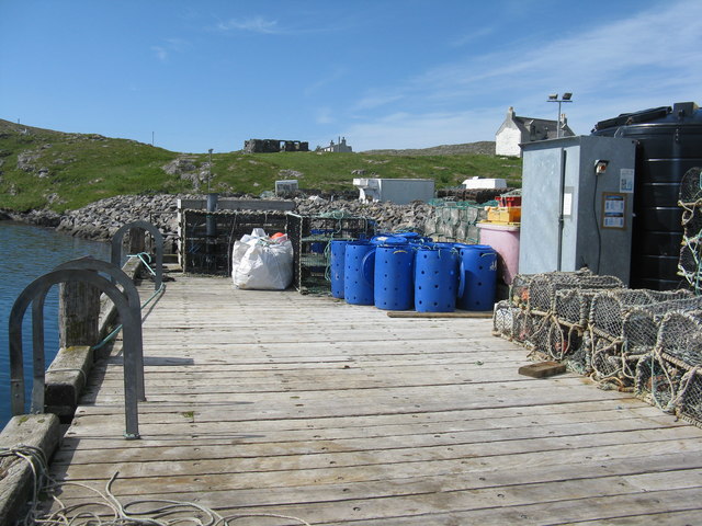
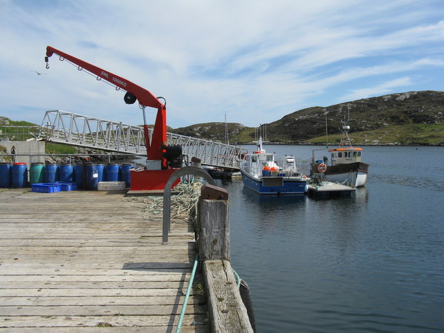
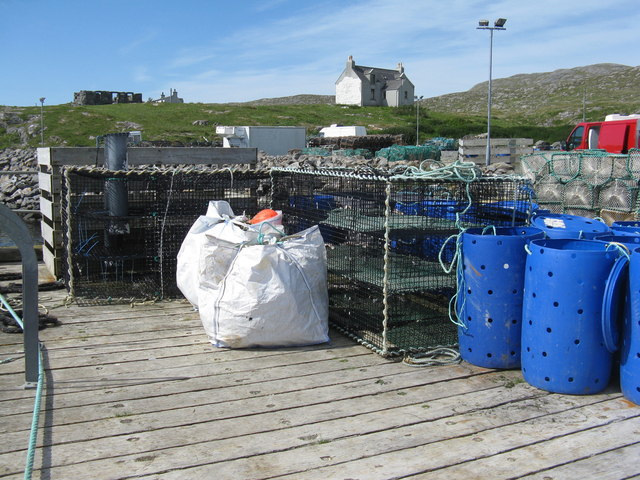
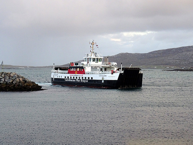
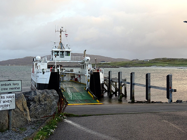
Beinn Cracabhaig Images

Images are sourced within 2km of 57.06956/-7.3042838 or Grid Reference NF7810. Thanks to Geograph Open Source API. All images are credited.

Sheisinis A rocky beach and tidal island at the mouth of Acairseid Mhòr, a sea loch on the east side of Eriskay.
Sheisinis
A rocky beach and tidal island at the mouth of Acairseid Mhòr, a sea loch on the east side of Eriskay.
Rubha Liath A headland to the south of the entrance to Big Harbour (Acairseid Mhòr) on Eriskay.
Rubha Liath
A headland to the south of the entrance to Big Harbour (Acairseid Mhòr) on Eriskay.
Small pool on Rubha Liath The peninsula was characterised by short grass with rocky outcrops ending in a rocky point.
Small pool on Rubha Liath
The peninsula was characterised by short grass with rocky outcrops ending in a rocky point.
Rubha Liath The rocky end of the point.
Rubha Liath
The rocky end of the point.
Acairseid Mhòr Taken from Rubha Liath this loch cuts deep into Eriskay.
Acairseid Mhòr
Taken from Rubha Liath this loch cuts deep into Eriskay.
Rubha Liath and looking into Acairseid Mhòr
Beinn Sciathan on Eriskay/Eiriosgaigh View from South Uist.
Beinn Sciathan on Eriskay/Eiriosgaigh
View from South Uist.
Tide turning on an Eriskay beach The tide is just lapping at the outer rocks on the beach.
Tide turning on an Eriskay beach
The tide is just lapping at the outer rocks on the beach.
Tide creeping up on an Eriskay shoreline The same rocky gully as in <a href="https://www.geograph.org.uk/photo/7246878">NF7811 : Tide turning on an Eriskay beach</a> two hours later, after an outdoor meal at the local restaurant. Just enough breeze to keep the midges away.
Tide creeping up on an Eriskay shoreline
The same rocky gully as in NF7811 : Tide turning on an Eriskay beach two hours later, after an outdoor meal at the local restaurant. Just enough breeze to keep the midges away.
Rubha Chlaidh on Eriskay Translating as 'the headland of the graveyard' it's easy to see why as the graveyard is on the top of the grassy rise.  This beach is the one Peter May, in his book "The Lewis Man", calls Charlie's Beach. See also  <a href="https://www.geograph.org.uk/photo/4543351">NF7811 : Rubha Chlaidh</a> for another view of the beach.
Rubha Chlaidh on Eriskay
Translating as 'the headland of the graveyard' it's easy to see why as the graveyard is on the top of the grassy rise. This beach is the one Peter May, in his book "The Lewis Man", calls Charlie's Beach. See also NF7811 : Rubha Chlaidh for another view of the beach.
Beach at Rubha Chlaidh
Slipway for Barra ferry
Beinn Sciathan from Rubha Basadearn
Jetty at Acairseid Giving access to Acairseid Mhòr and the Sound of Barra.
Jetty at Acairseid
Giving access to Acairseid Mhòr and the Sound of Barra.
Jetty and boats at Acairseid At Acairseid Mhòr.
Jetty and boats at Acairseid
At Acairseid Mhòr.
The jetty at Acairseid The three-storey cages are used as 'keep nets', for storing catches until required.
The jetty at Acairseid
The three-storey cages are used as 'keep nets', for storing catches until required.
The ferry from Barra arriving at Eriskay The ferry terminal at Ceann a' Ghàraidh on Eriskay was opened in 2001 when the Eriskay causeway was opened. The service is currently operated by the MV 'Loch Alainn'.
The ferry from Barra arriving at Eriskay
The ferry terminal at Ceann a' Ghàraidh on Eriskay was opened in 2001 when the Eriskay causeway was opened. The service is currently operated by the MV 'Loch Alainn'.
Waiting to board the Barra ferry on Eriskay
Show me another place!

Beinn Cracabhaig is located at Grid Ref: NF7810 (Lat: 57.06956, Lng: -7.3042838)

Unitary Authority: Na h-Eileanan an Iar

Police Authority: Highlands and Islands

What 3 Words

///gossiping.smaller.tablet. Near Lochboisdale, Na h-Eileanan Siar

Related Wikis

Ceann a' Ghàraidh

Ceann a' Ghàraidh is the location of the ferry terminal on the south-western side of the island of Eriskay in the Outer Hebrides of Scotland. It provides...

Eriskay

Eriskay (Scottish Gaelic: Èirisgeigh), from the Old Norse for "Eric's Isle", is an island and community council area of the Outer Hebrides in northern...

Beinn Sciathan

Ben Scrien, is the highest point on the Outer Hebridean island of Eriskay. Described as an apparently "uninspiring lump" (Michael Fitzpatrick, 2012) it...

St Michael's Church, Eriskay

St Michael's Church (also known as St Michael's of the Sea) is a Category C listed building in Eriskay, South Uist, Scotland. Of Roman Catholic denomination...

Nearby Amenities

Located within 500m of 57.06956,-7.3042838
Created By: dmgroom_coastlines
Lat/Long: 57.06777/-7.2984
Passing Place
Lat/Long: 57.0715203/-7.3058027
Passing Place
Lat/Long: 57.0721762/-7.2985754
Turning Circle
Lat/Long: 57.0700858/-7.3076172
Toilets
Lat/Long: 57.0703766/-7.3080431
Shower
Fee: yes
Lat/Long: 57.0703282/-7.3080499
Drinking Water
Lat/Long: 57.0703033/-7.3079491
Bus Stop
Ceann a' Ghàraidh (Eriskay)
Bus: yes
Naptan AtcoCode: 6010731880
Naptan Bearing: S
Naptan CommonName: Ceann a Gharaidh (Eriskay)
Naptan Indicator: Pier Ferry
Naptan Landmark: Pier Ferry
Naptan NaptanCode: 94723275
Naptan Street: Pier Ferry
Naptan Verified: no
Public Transport: platform
Source: naptan_import
Lat/Long: 57.0705051/-7.3079416
Ferry Terminal
Ferry: yes
Public Transport: station
Lat/Long: 57.0709664/-7.3081601
Passing Place
Lat/Long: 57.0725752/-7.3031848
Barrier: cattle_grid
Lat/Long: 57.0685075/-7.3076724
Barrier: cattle_grid
Lat/Long: 57.0711203/-7.3066131
Turning Circle
Turning Circle: knuckle
Lat/Long: 57.0725212/-7.3001327
Turning Circle
Lat/Long: 57.0728987/-7.3016957
Na Pàirceannan
Name En: Parks
Name Gd: Na Pàirceannan
Place: hamlet
Lat/Long: 57.0716156/-7.297555
Charging Station
Access: yes
Capacity: 2
Fee: yes
Operator: ChargePlace Scotland
Operator Wikidata: Q105359316
Postal Code: HS8 5JN
Ref: 50905
Socket Type2: 2
Socket Type2 Output: 22 kW
Website: https://chargeplacescotland.org/cpmap/chargepoint/621117/
Lat/Long: 57.0700954/-7.3079327
Power: pole
Lat/Long: 57.0711942/-7.296778
Power: pole
Lat/Long: 57.0662985/-7.299424
Power: pole
Lat/Long: 57.068103/-7.299035
Power: pole
Lat/Long: 57.0685558/-7.2983149
Power: pole
Lat/Long: 57.0690487/-7.297529
Power: pole
Lat/Long: 57.069508/-7.2967833
Power: pole
Lat/Long: 57.0704258/-7.2967297
Power: pole
Lat/Long: 57.0708625/-7.2974539
Power: pole
Lat/Long: 57.0712511/-7.2980815
Power: pole
Lat/Long: 57.0717104/-7.2988339
Power: pole
Lat/Long: 57.0721463/-7.2995514
Power: pole
Lat/Long: 57.0726741/-7.3003936
Power: pole
Lat/Long: 57.0730393/-7.3010239
Power: pole
Transformer: distribution
Lat/Long: 57.0734643/-7.3014611
Passing Place
Lat/Long: 57.0709275/-7.3070084
Passing Place
Lat/Long: 57.0730884/-7.3018513
Power: pole
Lat/Long: 57.0670535/-7.2996983
Power: pole
Lat/Long: 57.0676469/-7.2997385
Power: pole
Lat/Long: 57.0667574/-7.2996178
Eilean na Coilleig
Place: locality
Lat/Long: 57.0726803/-7.3052002
Beinn Cracabhaig
Ele: 73
Natural: peak
Lat/Long: 57.069461/-7.3042346
Sloc Ruadh
Natural: bay
Lat/Long: 57.0669024/-7.3102106
Na Pàirceanan
Name En: Parks
Name Gd: Na Pàirceanan
Traffic Sign: city_limit
Traffic Sign Direction: backward
Lat/Long: 57.073063/-7.2993978
Coilleag
Traffic Sign: city_limit
Traffic Sign Direction: forward
Lat/Long: 57.0730532/-7.29939
Port a' St Patrick
Place: locality
Lat/Long: 57.0680052/-7.2966738
An Càrn
Place: locality
Lat/Long: 57.0699903/-7.3074143
A' Bhuaile Ghlas
Place: locality
Lat/Long: 57.065862/-7.3031149
Tobar na Rèilig
Natural: spring
Lat/Long: 57.0666119/-7.3083731
Barrier: cattle_grid
Lat/Long: 57.0666582/-7.2994615
Passing Place
Lat/Long: 57.0720356/-7.3044803
Power: pole
Lat/Long: 57.0688161/-7.2969732
The data included in this document is from www.openstreetmap.org. The data is made available under ODbL.

Have you been to Beinn Cracabhaig?

Leave your review of Beinn Cracabhaig below (or comments, questions and feedback).