Cnoc na Heasha

Hill, Mountain in Inverness-shire

Scotland

Cnoc na Heasha

The Committee Road Constructed at a time when there was much unemployment, the Committee Road bisects the island and provides a useful short cut from Malacleit to Cladach.
The Committee Road Credit: Gordon Hatton

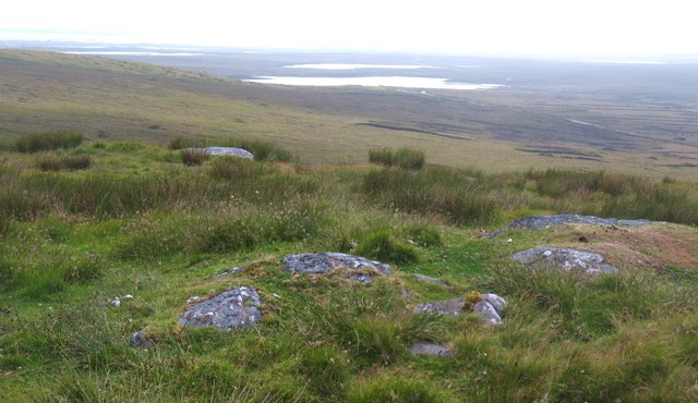
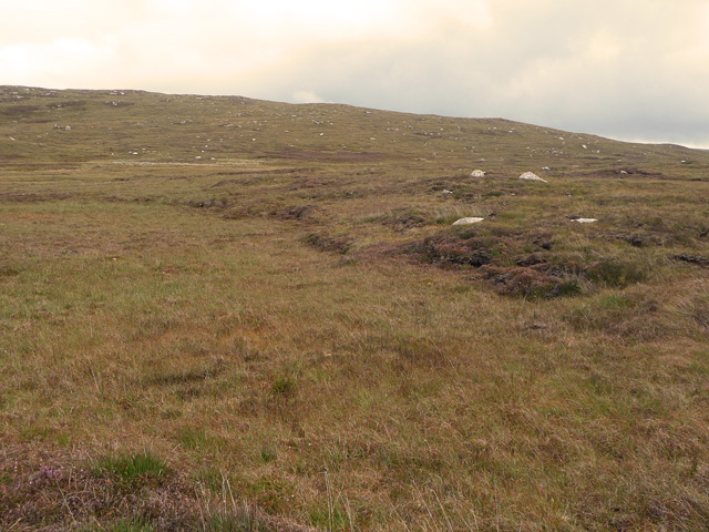
Cnoc na Heasha is a hill located in the Inverness-shire region of Scotland. It stands at a height of approximately 296 meters (971 feet) above sea level, making it a popular destination for hikers and outdoor enthusiasts looking to enjoy panoramic views of the surrounding countryside.

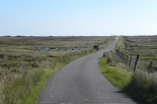
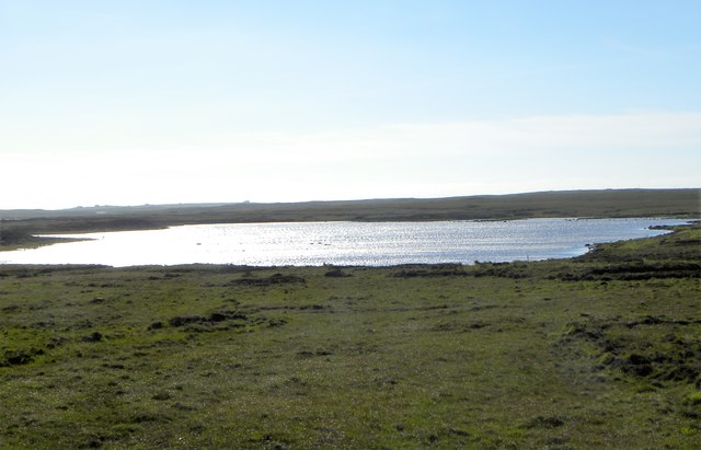
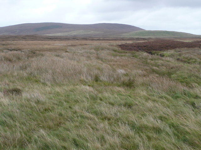
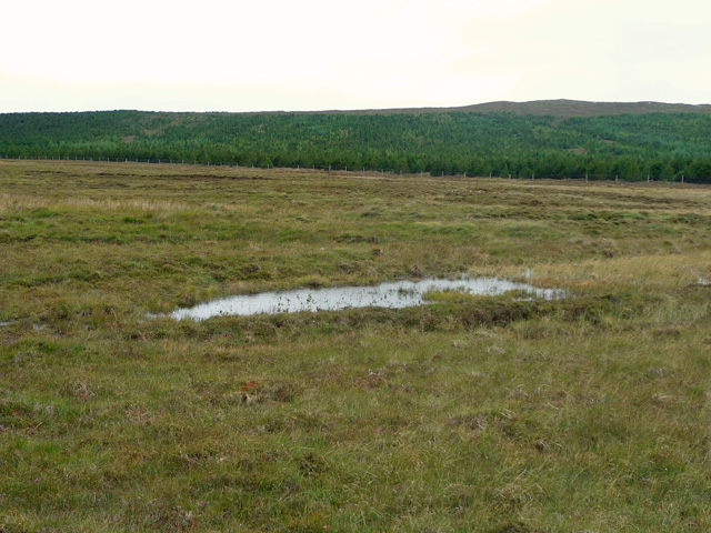
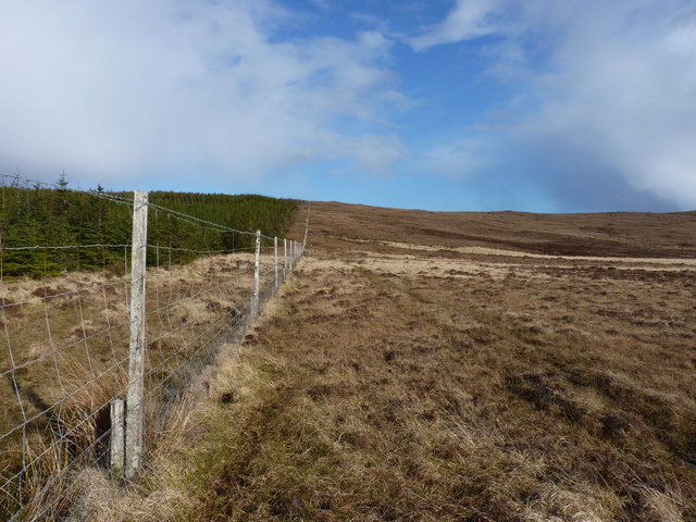
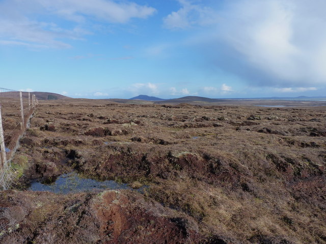
The hill is characterized by its gentle slopes and grassy terrain, which make it relatively easy to ascend for most hikers. It is situated near the village of Invermoriston, offering visitors a peaceful and scenic setting to explore the Scottish Highlands.

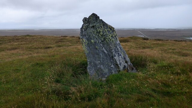
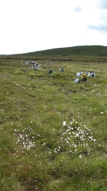
Cnoc na Heasha is known for its diverse flora and fauna, with heather, mosses, and wildflowers dotting the landscape. Birdwatchers may also spot a variety of bird species, including red grouse and golden eagles, soaring overhead.

Overall, Cnoc na Heasha provides a picturesque and tranquil setting for outdoor activities, whether it be hiking, birdwatching, or simply enjoying the stunning views of the Scottish countryside. It is a must-visit destination for nature lovers and outdoor enthusiasts visiting the Inverness-shire region.

If you have any feedback on the listing, please let us know in the comments section below.

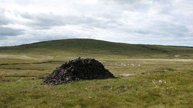
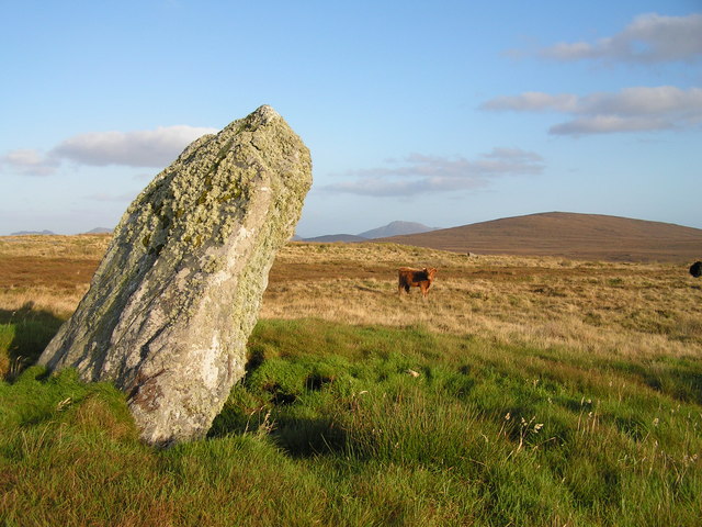
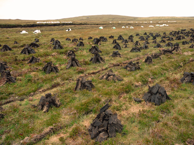
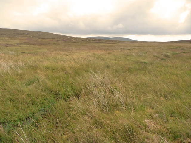
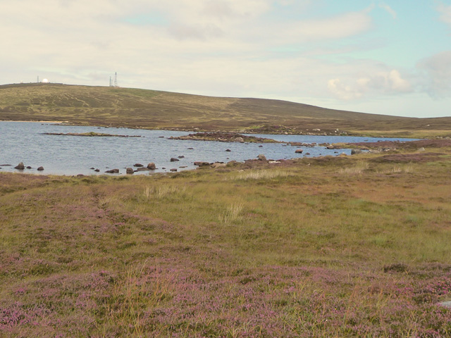
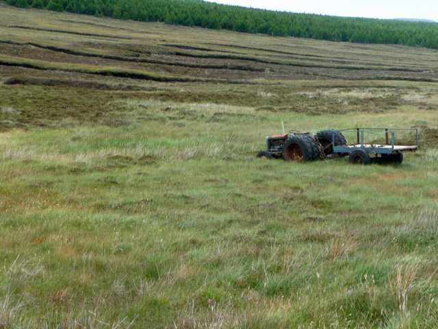
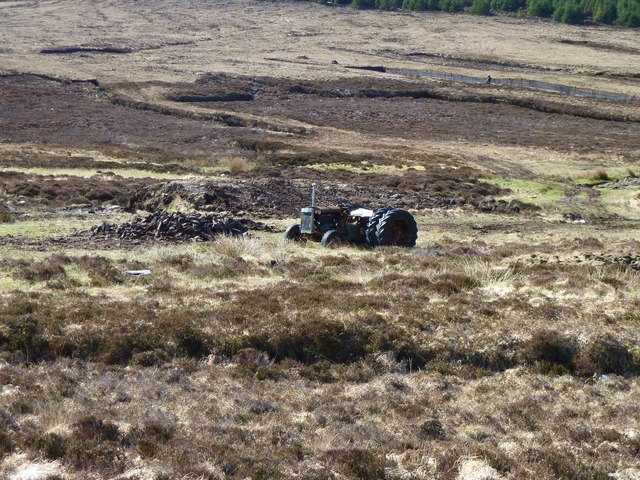
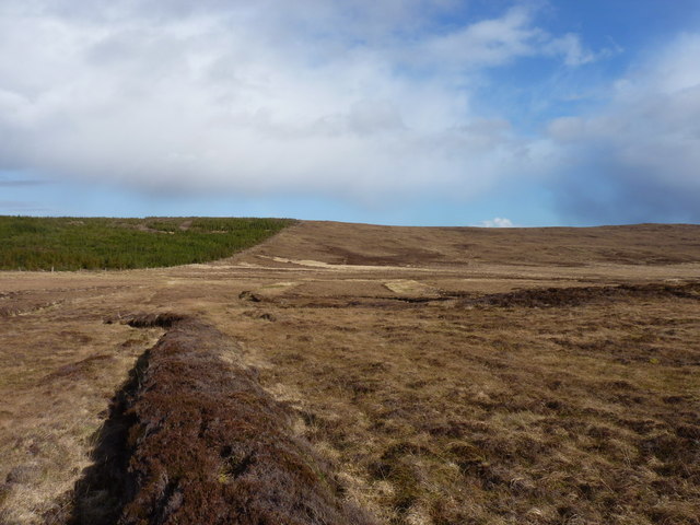
Cnoc na Heasha Images

Images are sourced within 2km of 57.608796/-7.4035404 or Grid Reference NF7770. Thanks to Geograph Open Source API. All images are credited.

The Committee Road Constructed at a time when there was much unemployment, the Committee Road bisects the island and provides a useful short cut from Malacleit to Cladach.
The Committee Road
Constructed at a time when there was much unemployment, the Committee Road bisects the island and provides a useful short cut from Malacleit to Cladach.
Loch a' Charra A rather insignificant loch in an area of dreary moorland, much used for peat digging.
Loch a' Charra
A rather insignificant loch in an area of dreary moorland, much used for peat digging.
An Carra, Beinn A' Charra standing stone Large standing stone. There are extensive views to the south. <span class="nowrap"><a title="https://canmore.org.uk/site/9978/north-uist-an-carra-beinn-a-charra" rel="nofollow ugc noopener" href="https://canmore.org.uk/site/9978/north-uist-an-carra-beinn-a-charra">Link</a><img style="margin-left:2px;" alt="External link" title="External link - shift click to open in new window" src="https://s1.geograph.org.uk/img/external.png" width="10" height="10"/></span>
An Carra, Beinn A' Charra standing stone
Large standing stone. There are extensive views to the south. LinkExternal link
Looking SW from Guala na h-Imrich A rather featureless hillside frequented by sheep. The view is down hill towards the Occupation Road and Lochs Charra and Horasaraidh.
Looking SW from Guala na h-Imrich
A rather featureless hillside frequented by sheep. The view is down hill towards the Occupation Road and Lochs Charra and Horasaraidh.
Peat Stack on the Moor Peat stack drying in the sun and wind, on an area of moorland much used for peat digging.
Peat Stack on the Moor
Peat stack drying in the sun and wind, on an area of moorland much used for peat digging.
Standing Stone
Standing Stone
Peat cuttings near Loch Mhic Gillebhride The exposed peat bank can be seen in the background. The drying stacks are quite small, as seems usual in the area.
Peat cuttings near Loch Mhic Gillebhride
The exposed peat bank can be seen in the background. The drying stacks are quite small, as seems usual in the area.
Wet ground south of Toroghas Very wet indeed - in fact close to impossible to cross on foot, despite the marking of a track here on the OS map.
Wet ground south of Toroghas
Very wet indeed - in fact close to impossible to cross on foot, despite the marking of a track here on the OS map.
Old track from Bayhead to Solas Beside the Abhainn Horasaraidh, looking towards Beinn á Charra. The track peters out after here, alas.
Old track from Bayhead to Solas
Beside the Abhainn Horasaraidh, looking towards Beinn á Charra. The track peters out after here, alas.
Bagged Peat on the Moor The result of recent peat cutting on the moors of central North Uist. Bagged up and ready to take away.
Bagged Peat on the Moor
The result of recent peat cutting on the moors of central North Uist. Bagged up and ready to take away.
Boggy ground by the Abhainn Ceann a' Bhàigh Looking across the line of the burn to one of the few areas of trees on Uist a Tuath.
Boggy ground by the Abhainn Ceann a' Bhàigh
Looking across the line of the burn to one of the few areas of trees on Uist a Tuath.
Toroghas Fairly desolate slopes to the east of Loch Steaphain.
Toroghas
Fairly desolate slopes to the east of Loch Steaphain.
Loch Steaphain The hill with the military installation beyond the loch is Cleitreabhal a Deas.
Loch Steaphain
The hill with the military installation beyond the loch is Cleitreabhal a Deas.
Tractor in the bog Sunk up to its axles in the peat west of the Committee Road.
Tractor in the bog
Sunk up to its axles in the peat west of the Committee Road.
Tractor on North Uist This area of moorland is used for cutting peats.  An old tractor lies waiting for work.  The double wheels are used to provide greater traction in soft ground and to help prevent the vehicle getting stuck.
Tractor on North Uist
This area of moorland is used for cutting peats. An old tractor lies waiting for work. The double wheels are used to provide greater traction in soft ground and to help prevent the vehicle getting stuck.
Peat cuttings on the moor below Cleitreabhal a Deas This particular one seems disused, but there were signs of more recent cutting in other 'trenches' a little off to the left.
Peat cuttings on the moor below Cleitreabhal a Deas
This particular one seems disused, but there were signs of more recent cutting in other 'trenches' a little off to the left.
Forestry fence and moorland on Braigh Buidhe This deer fence surrounds the entire plantation, as far as I could tell. Crossing it was a right game...
Forestry fence and moorland on Braigh Buidhe
This deer fence surrounds the entire plantation, as far as I could tell. Crossing it was a right game...
Upland bogs on Braigh Buidhe Looking along the fenceline around the forests, to the east of the island of North Uist.
Upland bogs on Braigh Buidhe
Looking along the fenceline around the forests, to the east of the island of North Uist.
Show me another place!

Cnoc na Heasha is located at Grid Ref: NF7770 (Lat: 57.608796, Lng: -7.4035404)

Unitary Authority: Na h-Eileanan an Iar

Police Authority: Highlands and Islands

What 3 Words

///partners.freshen.rejoined. Near Lochmaddy, Na h-Eileanan Siar

Nearby Locations

Cnoc na Heasha

Related Wikis

RRH Benbecula

Remote Radar Head Benbecula or RRH Benbecula, is an air defence radar station operated by the Royal Air Force. It is located at Cleitreabhal a'Deas, 17...

Ardheisker

Ardheisker (Scottish Gaelic: Àird Heillsgeir) is a settlement on North Uist, in the Outer Hebrides, Scotland. Ardheisker is within the parish of North...

North Uist

North Uist (Scottish Gaelic: Uibhist a Tuath; Scots: North Uise) is an island and community in the Outer Hebrides of Scotland. == Etymology == In Donald...

Eilean Dòmhnuill

Ian Armit identifies the islet of Eilean Dòmhnuill (Scottish Gaelic: Eilean Dòmhnaill, Scottish Gaelic pronunciation: [elan ˈt̪õː.ɪʎ], "The Isle of Donald...

Have you been to Cnoc na Heasha?

Leave your review of Cnoc na Heasha below (or comments, questions and feedback).