Easabhal

Hill, Mountain in Inverness-shire

Scotland

Easabhal

Moorland to the west of the path from South to North Glendale Boggy moorland punctuated with the line of an old fence to the right. On the map it is marked as Gàradh Ur "garden wall".
Moorland to the west of the path from South to North Glendale Credit: Alan Pickup

The requested URL returned error: 429 Too Many Requests

If you have any feedback on the listing, please let us know in the comments section below.
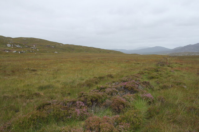
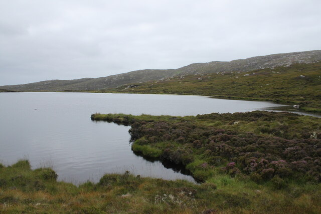
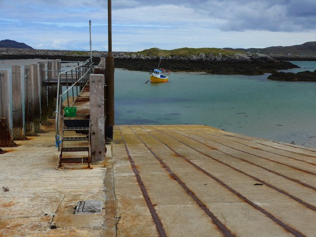
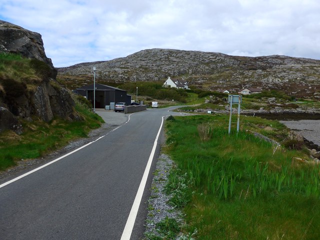
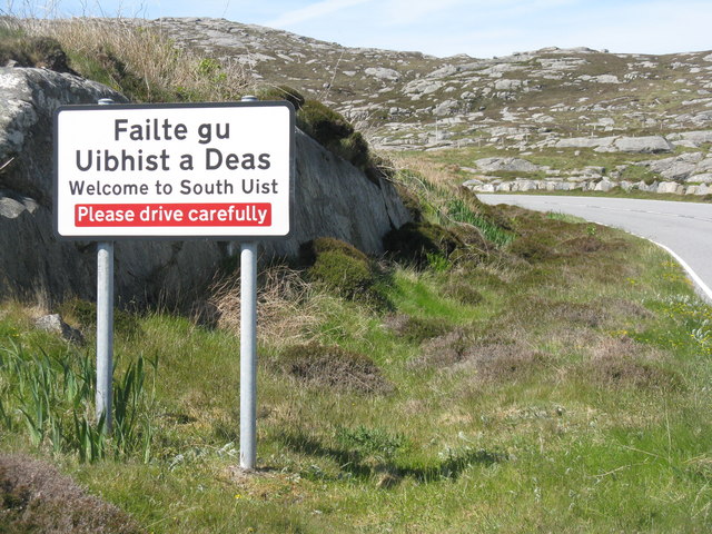
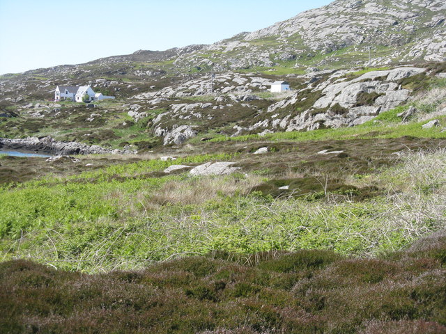
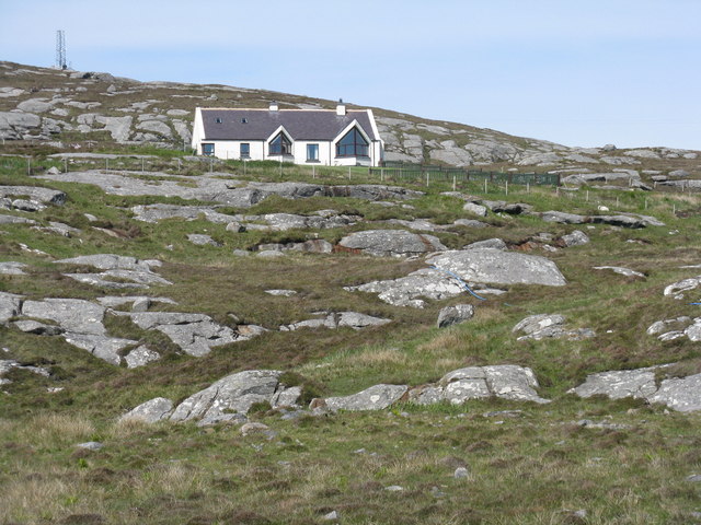
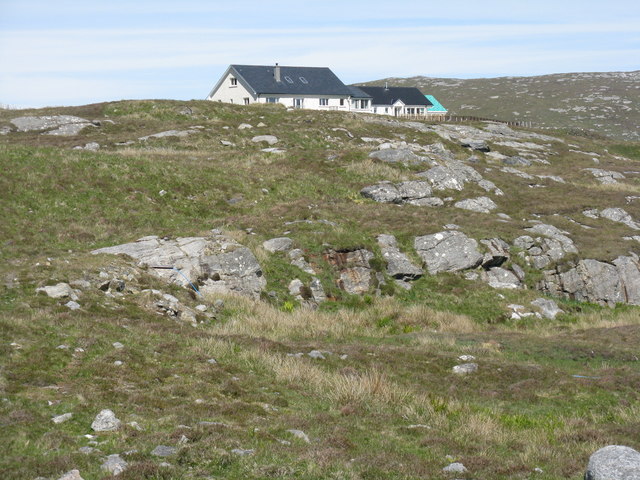
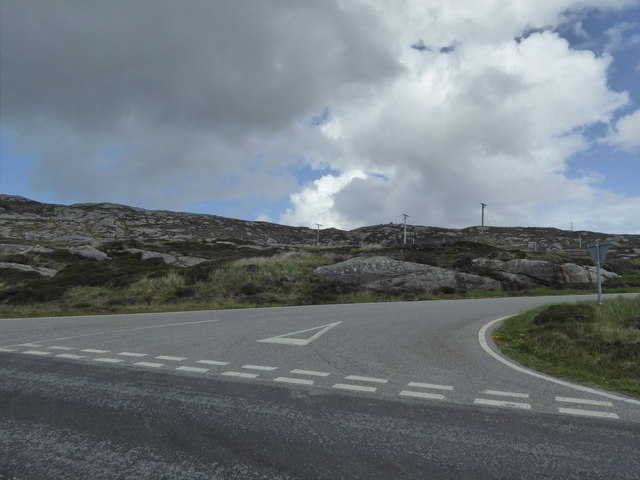
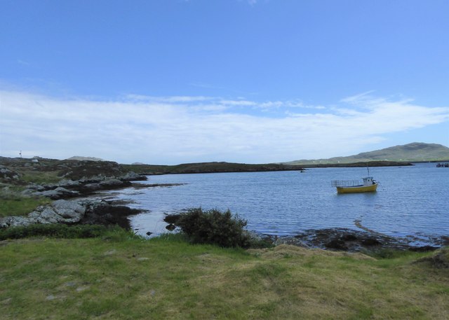
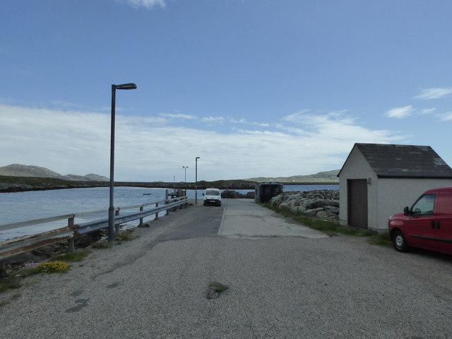
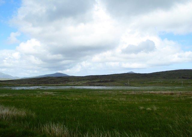
Easabhal Images

Images are sourced within 2km of 57.119799/-7.332262 or Grid Reference NF7715. Thanks to Geograph Open Source API. All images are credited.

Moorland to the west of the path from South to North Glendale Boggy moorland punctuated with the line of an old fence to the right. On the map it is marked as Gàradh Ur "garden wall".
Moorland to the west of the path from South to North Glendale
Boggy moorland punctuated with the line of an old fence to the right. On the map it is marked as Gàradh Ur "garden wall".
Lochan above South Glendale Lochan near the top of the path between North and South Glendale
Lochan above South Glendale
Lochan near the top of the path between North and South Glendale
The old ferry slip at Eriskay This was where the ferry to South Uist left from in the days before the causeway link.  The causeway was completed in 2001.
The old ferry slip at Eriskay
This was where the ferry to South Uist left from in the days before the causeway link. The causeway was completed in 2001.
The road to the Barra ferry This branches off from just near the old slipway for the ferry to South Uist (now replaced by a causeway).
The road to the Barra ferry
This branches off from just near the old slipway for the ferry to South Uist (now replaced by a causeway).
Entering South Uist Welcome to South Uist; leaving the causeway from Eriskay and heading north for South Uist.
Entering South Uist
Welcome to South Uist; leaving the causeway from Eriskay and heading north for South Uist.
Rocky grassland, South Uist Looking north just after leaving the causeway from Eriskay.
Rocky grassland, South Uist
Looking north just after leaving the causeway from Eriskay.
House on South Uist A modern house, nicely placed for a view to the causeway to Eriskay.
House on South Uist
A modern house, nicely placed for a view to the causeway to Eriskay.
House on the road to South Glendale In rocky rough grassland at the southern end of South Uist.
House on the road to South Glendale
In rocky rough grassland at the southern end of South Uist.
Junction for South Glendale
Yellow boat, Bagh Shaltabhaig
Pier at Ludag
Pier at Ludag
Croftland at Taobh a' Chaolais
Swan on Loch a' Bhruga
South Uist Clay Pigeon Club
Loch Trosaraidh
Loch Trosaraidh
Old Milestone by the B888, South Uist parish Granite column by the B888, in parish of South Uist (South Uist District), between junction for Garrynamonie and modern church, 30m North of junction, 100m South of church.

Inscription reads:-
6
(To Lochboisdale Pier)

Surveyed

Milestone Society National ID: WI_SULBS06
Old Milestone by the B888, South Uist parish
Granite column by the B888, in parish of South Uist (South Uist District), between junction for Garrynamonie and modern church, 30m North of junction, 100m South of church. Inscription reads:- 6 (To Lochboisdale Pier) Surveyed Milestone Society National ID: WI_SULBS06
Sheep fanks above Loch Aiseabhat A misty day at the south end of South Uist. The fanks here are substantial but have seen little recent use.
Sheep fanks above Loch Aiseabhat
A misty day at the south end of South Uist. The fanks here are substantial but have seen little recent use.
Old Eriskay ferry slip In the 20th century this was the jetty and slip for the Eriskay ferry, the facility being made redundant when the new causeway was opened in 2001.
Old Eriskay ferry slip
In the 20th century this was the jetty and slip for the Eriskay ferry, the facility being made redundant when the new causeway was opened in 2001.
Show me another place!

Easabhal is located at Grid Ref: NF7715 (Lat: 57.119799, Lng: -7.332262)

Unitary Authority: Na h-Eileanan an Iar

Police Authority: Highlands and Islands

What 3 Words

///circles.fake.exhaling. Near Lochboisdale, Na h-Eileanan Siar

Nearby Locations

Loch na Bràthad Easabhal

Related Wikis

Easaval

Easaval (Scottish Gaelic: Easabhal) is one of the smallest hills on the island of South Uist in the Outer Hebrides of Scotland, with a height of 243 metres...

Eileanan Iasgaich

Na h-Eileanan Iasgaich comprise a small uninhabited archipelago in Loch Boisdale, in the south east of the island of South Uist, in the Outer Hebrides...

Papar

The Papar (Icelandic pronunciation: [ˈpʰaːpar̥]; from Latin papa, via Old Irish, meaning "father" or "pope") were, according to early Icelandic sagas,...

St Michael's Church, Eriskay

St Michael's Church (also known as St Michael's of the Sea) is a Category C listed building in Eriskay, South Uist, Scotland. Of Roman Catholic denomination...

Nearby Amenities

Located within 500m of 57.119799,-7.332262
Èiseabhal
Alt Name Gd: Easabhal
Corbett: no
Ele: 243
Graham: no
Marilyn: yes
Munro: no
Name En: Easaval
Name Gd: Èiseabhal
Natural: peak
Prominence: 239
Wikidata: Q5327477
Wikipedia: en:Easaval
Lat/Long: 57.1195191/-7.3324251
The data included in this document is from www.openstreetmap.org. The data is made available under ODbL.

Have you been to Easabhal?

Leave your review of Easabhal below (or comments, questions and feedback).