Càireasbhal

Hill, Mountain in Inverness-shire

Scotland

Càireasbhal

Sgoil Dhalabroig/Daliburgh School
Sgoil Dhalabroig/Daliburgh School Credit: Alpin Stewart

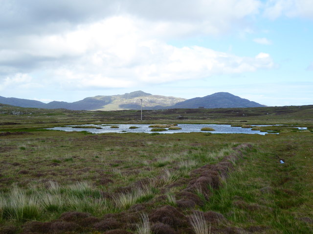
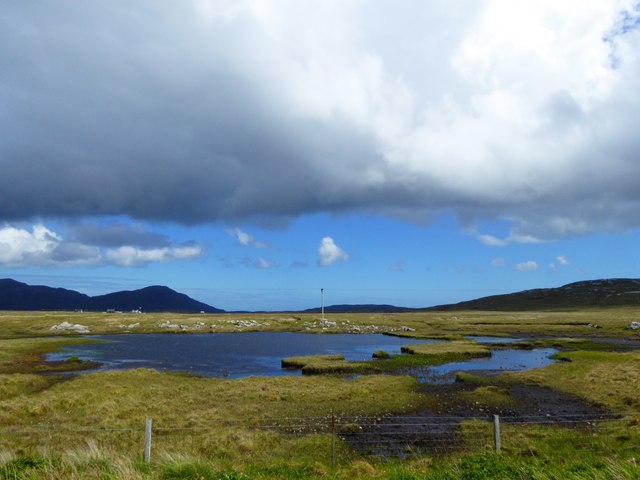
Càireasbhal is a prominent hill located in Inverness-shire, Scotland. It is situated in the northwest region of the country, near the village of Shieldaig. With an elevation of 724 meters (2,375 feet), Càireasbhal offers breathtaking panoramic views of the surrounding landscape.

The hill is part of the Torridon Hills range, which is known for its dramatic and rugged terrain. Càireasbhal itself is characterized by its steep slopes and rocky outcrops, making it a popular destination for hikers and mountaineers seeking a challenging ascent.

The hill is rich in flora and fauna, with heather, grasses, and mosses covering its lower slopes. Higher up, the vegetation becomes sparser, giving way to bare rock and scree slopes. This diverse ecosystem supports a variety of wildlife, including red deer, mountain hares, and several species of birds such as golden eagles and ptarmigans.

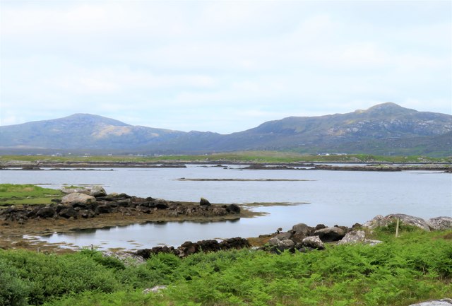
Càireasbhal offers stunning views of the surrounding landscape, including Loch Torridon to the south and the Beinn Eighe National Nature Reserve to the northeast. On clear days, it is even possible to catch glimpses of the Isle of Skye in the distance.

Due to its remote location, Càireasbhal provides a peaceful and secluded environment for outdoor enthusiasts. However, it is important to note that the hill can be challenging to navigate, especially in poor weather conditions. Proper equipment and navigational skills are necessary to ensure a safe and enjoyable experience.

If you have any feedback on the listing, please let us know in the comments section below.
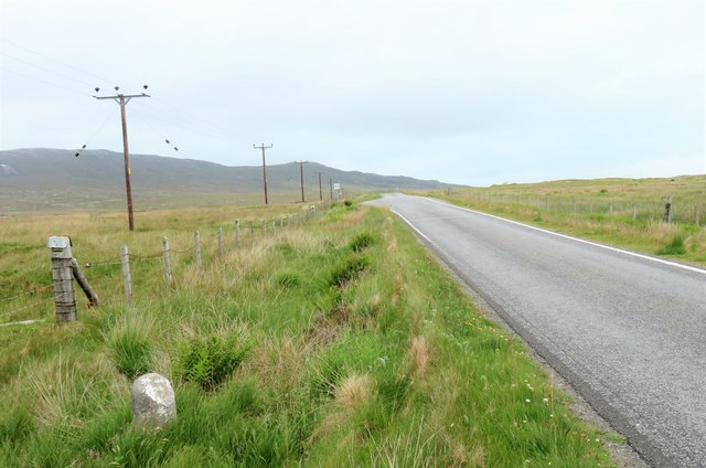
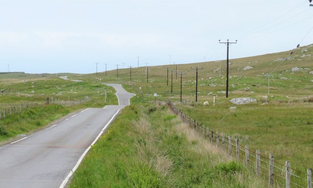
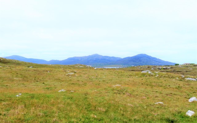
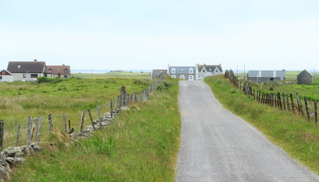
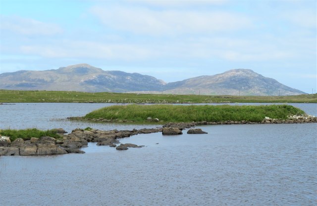
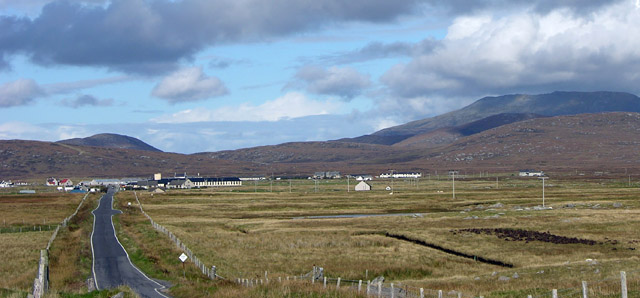
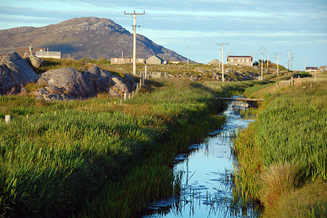
Càireasbhal Images

Images are sourced within 2km of 57.143978/-7.3590414 or Grid Reference NF7518. Thanks to Geograph Open Source API. All images are credited.
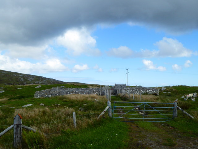
Sgoil Dhalabroig/Daliburgh School
Minor road heading north east from Cille Pheadair Crofting country between the machair and the bogs.
Minor road heading north east from Cille Pheadair
Crofting country between the machair and the bogs.
Ruined house, Cille Pheadair In a poor state of repair, but still with most of its roof when photographed in 1995. Compare this with a similar view in 2010 [<a title="https://www.geograph.org.uk/photo/4079167" href="https://www.geograph.org.uk/photo/4079167">Link</a>].
Ruined house, Cille Pheadair
In a poor state of repair, but still with most of its roof when photographed in 1995. Compare this with a similar view in 2010 [Link].
Loch Trosaraidh
Loch Trosaraidh
Fank at Càireasbhal
Fank at Càireasbhal
Dubh-lochan, a small moorland loch
Lochan Dubh nan Caorach
Old Milestone by the B888, by crossroads, in South Uist Parish Granite column by the B888, in parish of South Uist (South Uist District), 100m South of crossroads for roads to North Boisdale and South Lochboisdale, on verge.

Inscription reads:- : 5 : (To Lochboisdale Pier) 

Surveyed

Milestone Society National ID: WI_SULBS05
Old Milestone by the B888, by crossroads, in South Uist Parish
Granite column by the B888, in parish of South Uist (South Uist District), 100m South of crossroads for roads to North Boisdale and South Lochboisdale, on verge. Inscription reads:- : 5 : (To Lochboisdale Pier) Surveyed Milestone Society National ID: WI_SULBS05
Old Milestone by the B888, Lochan Dubh nan Caorach, South Uist Granite column by the B888, in parish of South Uist (South Uist District), South of junction to Kilpheder, on straight near Passing Place, by lochan.

Inscription reads:-
4
(To Lochboisdale Pier)

Surveyed

Milestone Society National ID: WI_SULBS04
Old Milestone by the B888, Lochan Dubh nan Caorach, South Uist
Granite column by the B888, in parish of South Uist (South Uist District), South of junction to Kilpheder, on straight near Passing Place, by lochan. Inscription reads:- 4 (To Lochboisdale Pier) Surveyed Milestone Society National ID: WI_SULBS04
Milestone by the B888 A rather basic milestone with no discernible inscription. Looking south along the road to Eriskay.
Milestone by the B888
A rather basic milestone with no discernible inscription. Looking south along the road to Eriskay.
North along the B888 The main spine road running south to north along South Uist. The B888 becomes the A865 from the junction at Daliburgh.
North along the B888
The main spine road running south to north along South Uist. The B888 becomes the A865 from the junction at Daliburgh.
Rough grazing on the slopes of Carrisaval Looking north of east across some rather uninspiring rough grassland with a sliver of water in the distance and the hills to the north east of Lochboisdale on the horizon.
Rough grazing on the slopes of Carrisaval
Looking north of east across some rather uninspiring rough grassland with a sliver of water in the distance and the hills to the north east of Lochboisdale on the horizon.
Poll Creadha Small inlet on the fretted coastline near Lochboisdale.
Poll Creadha
Small inlet on the fretted coastline near Lochboisdale.
Road to North Boisdale Heading along a minor road towards this South Uist crofting community.
Road to North Boisdale
Heading along a minor road towards this South Uist crofting community.
Abandoned house near Baghasdal [2] Twelve years on almost to the day I found myself taking the same view as that taken by Greg Morss in 2007. He reported that the roof was still sound, but now there are holes and further decay seems inevitable.
Abandoned house near Baghasdal [2]
Twelve years on almost to the day I found myself taking the same view as that taken by Greg Morss in 2007. He reported that the roof was still sound, but now there are holes and further decay seems inevitable.
Eilean Chreamh This tiny island in Loch Dun na Cille not only is named, but also has a stone causeway linking it to the shore.
Eilean Chreamh
This tiny island in Loch Dun na Cille not only is named, but also has a stone causeway linking it to the shore.
Daliburgh School from the south, on B888 Beinn Mhor, highest hill in South Uist, in background. The school is one of the largest buildings in this small village.
Daliburgh School from the south, on B888
Beinn Mhor, highest hill in South Uist, in background. The school is one of the largest buildings in this small village.
Drainage channel An Lige Mor This obviously man-made channel drains Loch Thallan to the north into a bay at the top end of Loch Boisdale, which is dammed, keeping the sea out.
Drainage channel An Lige Mor
This obviously man-made channel drains Loch Thallan to the north into a bay at the top end of Loch Boisdale, which is dammed, keeping the sea out.
Show me another place!

Càireasbhal is located at Grid Ref: NF7518 (Lat: 57.143978, Lng: -7.3590414)

Unitary Authority: Na h-Eileanan an Iar

Police Authority: Highlands and Islands

What 3 Words

///future.stung.cringes. Near Lochboisdale, Na h-Eileanan Siar

Related Wikis

Papar

The Papar (Icelandic pronunciation: [ˈpʰaːpar̥]; from Latin papa, via Old Irish, meaning "father" or "pope") were, according to early Icelandic sagas,...
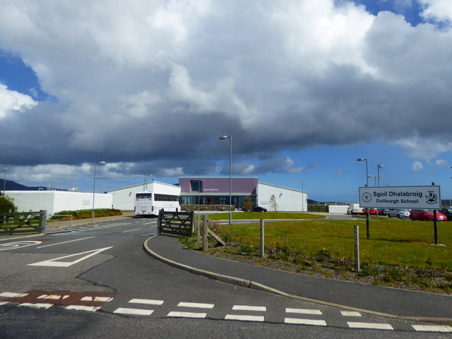
Daliburgh

Daliburgh (Scottish Gaelic: Dalabrog) is a crofting township on South Uist, in the Outer Hebrides, Scotland. Daliburgh is situated 1+1⁄2 miles (2.5 kilometres...

Eileanan Iasgaich

Na h-Eileanan Iasgaich comprise a small uninhabited archipelago in Loch Boisdale, in the south east of the island of South Uist, in the Outer Hebrides...

Easaval

Easaval (Scottish Gaelic: Easabhal) is one of the smallest hills on the island of South Uist in the Outer Hebrides of Scotland, with a height of 243 metres...

Related Videos

Used Caravan Tour - 2015 Compass Rallye 530

Despite the onset of the C-Lurgy, a brief tour of my 2015 Compass Rallye 530. This was originally planned to be back on sale at ...

Nearby Amenities

Located within 500m of 57.143978,-7.3590414
Cairiseabhal
Alt Name Gd: Caireasbhal
Ele: 76
Name En: Carrisaval
Name Gd: Cairiseabhal
Natural: peak
Lat/Long: 57.1435742/-7.3581362
Druim Cruaidh
Place: locality
Lat/Long: 57.1420263/-7.3552753
Glac na Creadh
Place: locality
Lat/Long: 57.142166/-7.3602535
The data included in this document is from www.openstreetmap.org. The data is made available under ODbL.

Have you been to Càireasbhal?

Leave your review of Càireasbhal below (or comments, questions and feedback).