Beinn a' Mhuilinn
Hill, Mountain in Inverness-shire
Scotland
Beinn a' Mhuilinn

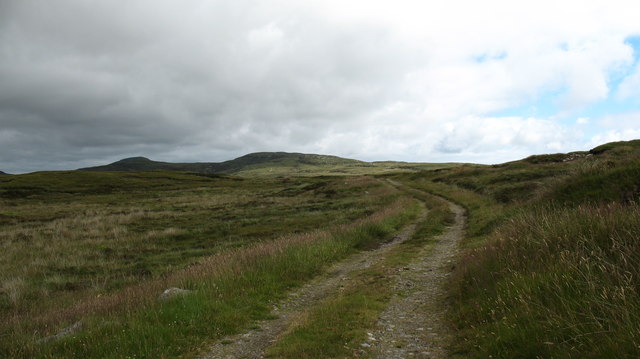
Beinn a' Mhuilinn is a hill located in Inverness-shire, Scotland. It is part of the Monadhliath Mountains range, which stretches across the Highland region. The hill stands at an elevation of 809 meters (2,654 feet) above sea level, making it a popular destination for hikers and outdoor enthusiasts.
The terrain of Beinn a' Mhuilinn is characterized by rugged slopes and rocky outcrops, providing a challenging but rewarding climb for those looking to explore the natural beauty of the Scottish Highlands. The summit offers stunning panoramic views of the surrounding countryside, including nearby Loch Ness and the Cairngorms National Park.
The hill is accessible via various hiking trails that wind their way through the heather-covered moors and pine forests that blanket the slopes. Wildlife such as red deer, mountain hares, and golden eagles can often be spotted in the area, adding to the allure of this remote and wild landscape.
Overall, Beinn a' Mhuilinn is a must-visit destination for outdoor enthusiasts seeking a taste of Scotland's rugged beauty and untamed wilderness.
If you have any feedback on the listing, please let us know in the comments section below.
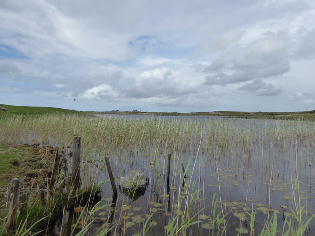
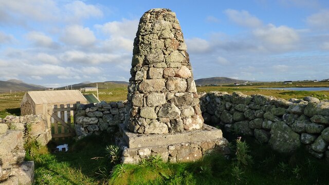
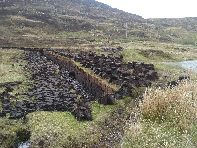
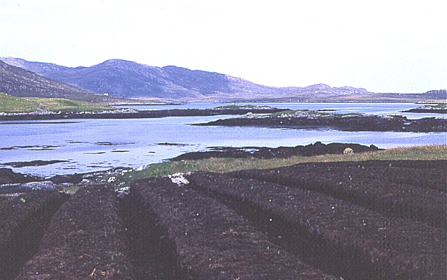
Beinn a' Mhuilinn Images
Images are sourced within 2km of 57.216908/-7.3716464 or Grid Reference NF7526. Thanks to Geograph Open Source API. All images are credited.


Beinn a' Mhuilinn is located at Grid Ref: NF7526 (Lat: 57.216908, Lng: -7.3716464)
Unitary Authority: Na h-Eileanan an Iar
Police Authority: Highlands and Islands
What 3 Words
///garlic.single.leaky. Near Lochboisdale, Na h-Eileanan Siar
Nearby Locations
Related Wikis

Milton (South Uist)
Milton (Scottish Gaelic: Geàrraidh Bhailteas) is the name of a tack or tenant farm on the island of South Uist in the Outer Hebrides, Scotland. It was...

Askernish
Askernish (Scottish Gaelic: Àisgearnais, Aisgernis) is a crofting community on South Uist, in the Outer Hebrides, Scotland. Askernish is in the parish...

Bornish
Bornish (Scottish Gaelic: Bòrnais) is a village and community council area on South Uist in the Outer Hebrides, Scotland. Bornish is also within the civil...

Dun Vulan
Dun Vulan Broch (Scottish Gaelic: 'Dùn Mhùlan' or 'Dùn Mhaoilinn') is an Iron Age broch in South Uist, Scotland. == Location == Dun Vulan is located in...
Related Videos
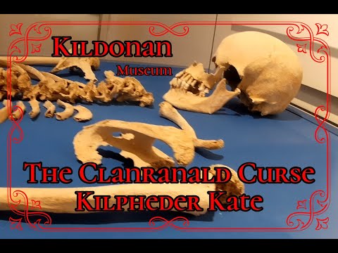
𝕶𝖎𝖑𝖉𝖔𝖓𝖆𝖓 𝕸𝖚𝖘𝖊𝖚𝖒, 𝕾𝖔𝖚𝖙𝖍 𝖀𝖎𝖘𝖙, 𝕺𝖚𝖙𝖊𝖗 𝕳𝖊𝖇𝖗𝖎𝖉𝖊𝖘, 𝕰𝖝𝖕𝖑𝖔𝖗𝖎𝖓𝖌 𝕾𝖈𝖔𝖙𝖑𝖆𝖓𝖉'𝖘 𝕳𝖎𝖘𝖙𝖔𝖗𝖞
Kildonan Museum, South Uist, Outer Hebrides, Exploring Scotland's History A visit to one of the best museums we have visited.
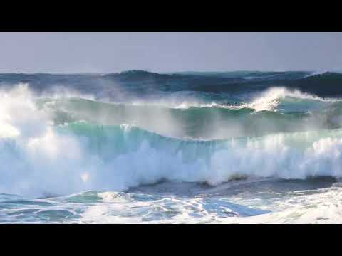
Outer Hebrides Storm Winter Waves, Isle of South Uist, 4k
To Stand and watch the power of the oceans of South Uist. When you could stand up! Before the big winds arrived of Storm Corrie.

Allan & Jackie | Wedding Wishes
Here's to Allan & Jackie... Husband & wife! It is with a heavy heart that we say our well wishes to the newly weds via video rather ...
Have you been to Beinn a' Mhuilinn?
Leave your review of Beinn a' Mhuilinn below (or comments, questions and feedback).