Beinn na Mòine
Hill, Mountain in Inverness-shire
Scotland
Beinn na Mòine

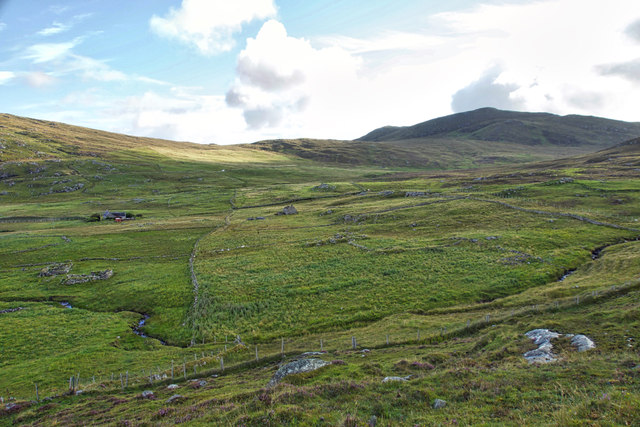
Beinn na Mòine is a prominent hill located in Inverness-shire, Scotland. With an elevation of 1,027 meters (3,369 feet), it is considered one of the major mountains in the region. It lies within the expansive and picturesque Cairngorms National Park, renowned for its stunning landscapes and diverse wildlife.
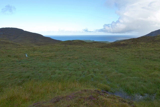
Situated approximately 20 kilometers (12 miles) east of the town of Aviemore, Beinn na Mòine offers breathtaking panoramic views of the surrounding area. Its distinctive dome-shaped summit is often covered in snow during the winter months, creating a picturesque scene for hikers and mountaineers.
The hill is renowned for its challenging walking routes, attracting outdoor enthusiasts seeking a thrilling and rewarding experience. The most common ascent route starts from the nearby Glen Derry, allowing hikers to enjoy the stunning vistas along the way. The journey typically takes around six to eight hours, depending on individual fitness levels and weather conditions.
Beinn na Mòine is also part of the larger Cairngorms Plateau, which boasts a unique and fragile ecosystem. Visitors to the area have the opportunity to spot various wildlife species, including red deer, mountain hares, and golden eagles. The hill is also known for its diverse flora, with heather, mosses, and lichens covering its slopes.
Overall, Beinn na Mòine is a magnificent mountain that offers both a challenging adventure and breathtaking natural beauty. It is a must-visit destination for outdoor enthusiasts and nature lovers exploring the Scottish Highlands.
If you have any feedback on the listing, please let us know in the comments section below.
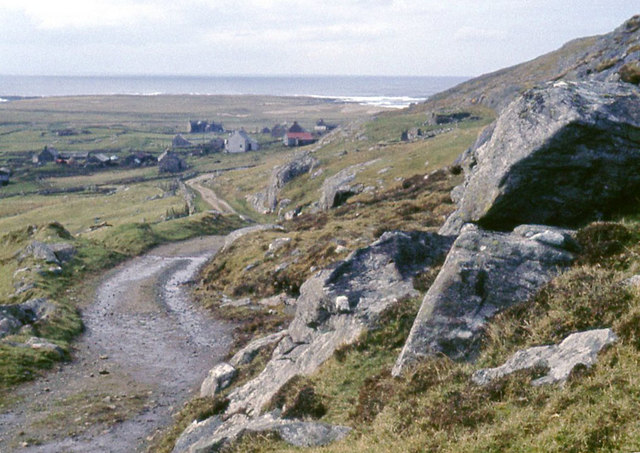
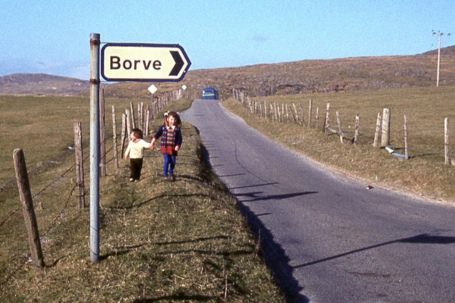
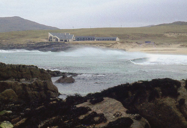
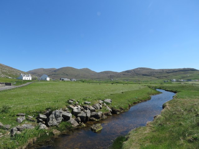
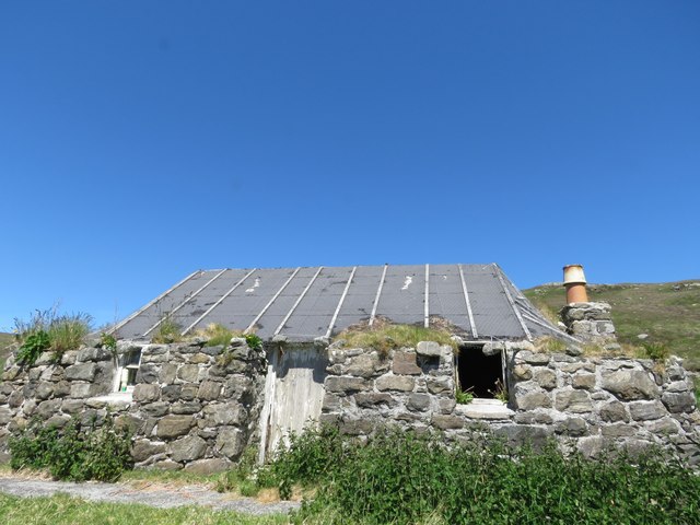
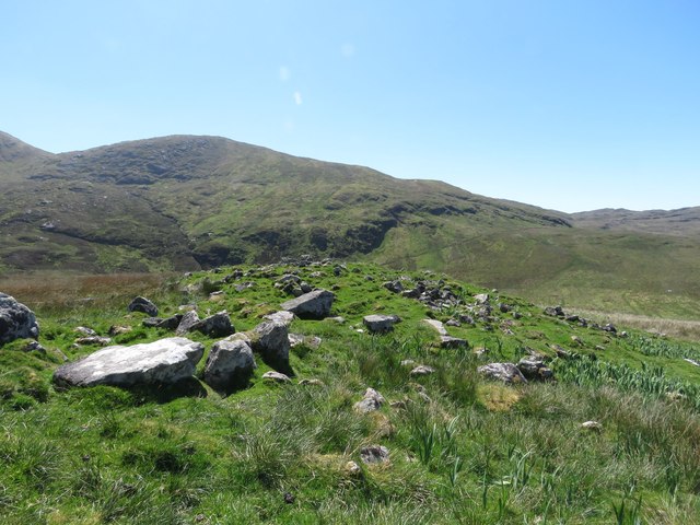
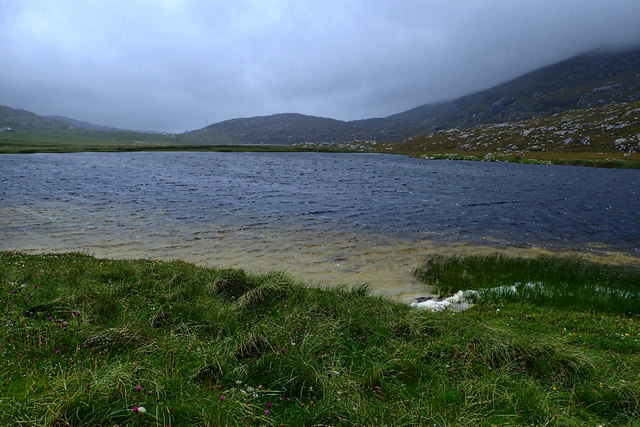
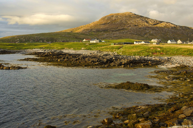
Beinn na Mòine Images
Images are sourced within 2km of 56.971888/-7.4965315 or Grid Reference NF6600. Thanks to Geograph Open Source API. All images are credited.


Beinn na Mòine is located at Grid Ref: NF6600 (Lat: 56.971888, Lng: -7.4965315)
Unitary Authority: Na h-Eileanan an Iar
Police Authority: Highlands and Islands
What 3 Words
///charities.protects.journals. Near CastleBay, Na h-Eileanan Siar
Nearby Locations
Related Wikis

Isle of Barra distillery
Isle of Barra distillery at Borve, Barra, Scotland is a planned future whisky distillery on Barra. The Barra Distillery company was founded in 2003 but...

Borve, Barra
Borve (Scottish Gaelic: Borgh) is a village on the west coast of the island of Barra in the Outer Hebrides, Scotland. Borve is within the parish of Barra...
Castlebay Community School
Castlebay Community School is a bilingual Gaelic/English school for ages 3–18 on the Scottish island of Barra.In September 2007, it hosted a major tribute...
Barrathon
The Barrathon is an annual half marathon which takes place on the Isle of Barra, which is the southernmost inhabited isle of the Outer Hebrides in Scotland...

Heaval
Heaval is the highest hill on the Outer Hebridean island of Barra, Scotland. The highest point is 383 metres high above sea level and it is located 1.5...
Castlebay
Castlebay (Scottish Gaelic: Bàgh a' Chaisteil [baːɣ ə ˈxaʃtʲɪl]) is the main village and a community council area on the island of Barra in the Outer Hebrides...

St Brendan's Hospital, Castlebay
St Brendan's Hospital is a hospital in Castlebay on the island of Barra, Eileanan Siar. It is managed by NHS Western Isles. == History == The current facility...

Barra
Barra (; Scottish Gaelic: Barraigh [ˈparˠaj] or Eilean Bharraigh [ˈelan ˈvarˠaj] ; Scots: Barra) is an island in the Outer Hebrides, Scotland, and the...
Nearby Amenities
Located within 500m of 56.971888,-7.4965315Have you been to Beinn na Mòine?
Leave your review of Beinn na Mòine below (or comments, questions and feedback).