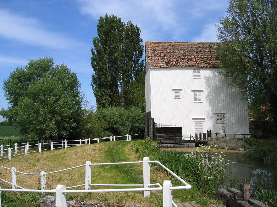
Bottisham Poors' Fen
Downs, Moorland in Cambridgeshire East Cambridgeshire
England
Bottisham Poors' Fen

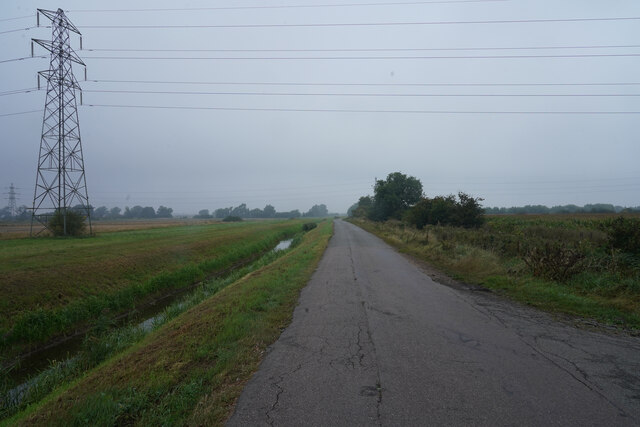
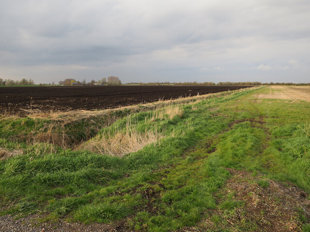
Bottisham Poors' Fen is a unique and picturesque nature reserve located in Cambridgeshire, England. Spanning across a vast area of downs and moorland, this fen is a treasure trove of diverse flora and fauna.
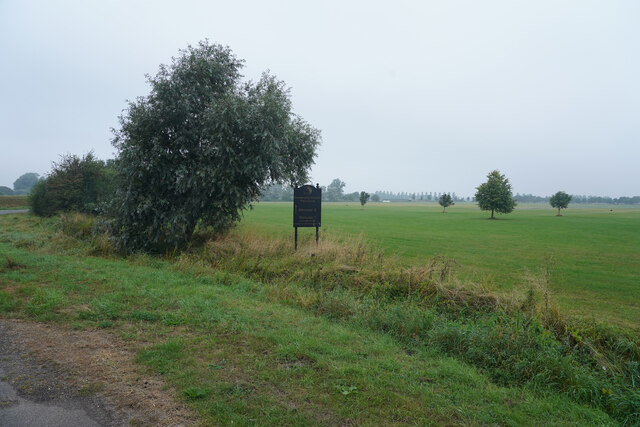
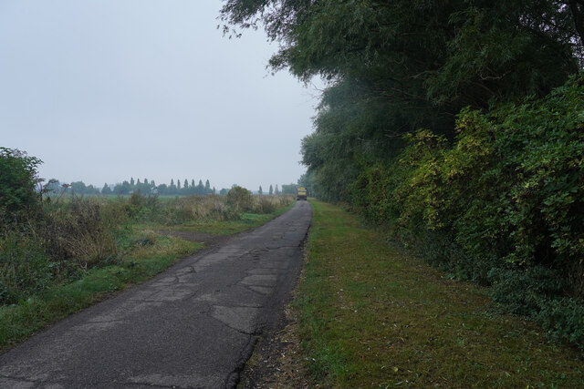
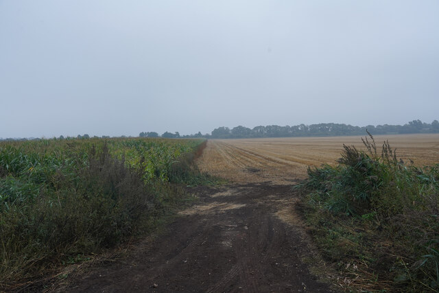
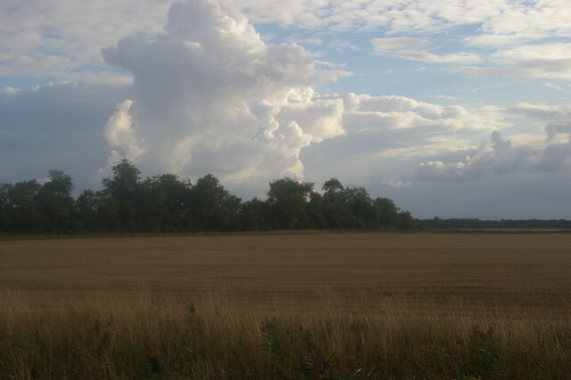
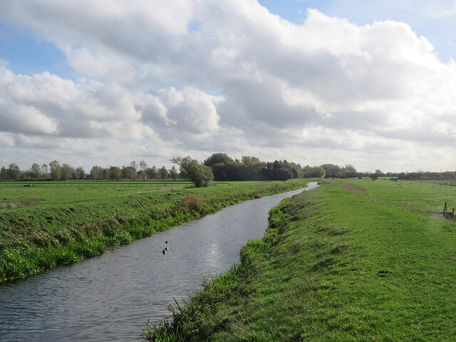
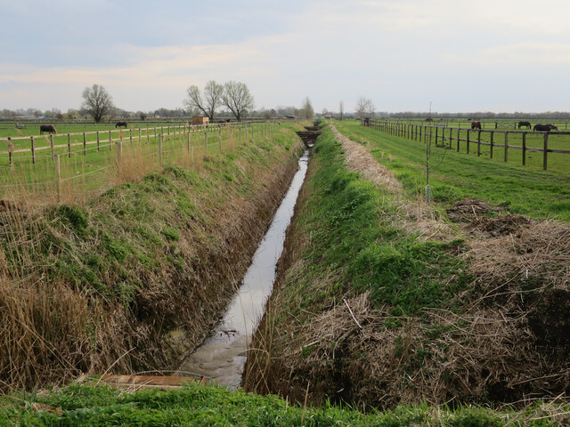
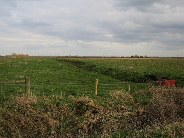
The fen is characterized by its wetland habitat, consisting of marshes, reed beds, and shallow pools. It is home to an array of plant species, including rare orchids, water lilies, and various types of sedges. The wet conditions of the fen provide an ideal environment for these plants to thrive.
The reserve is also a haven for wildlife enthusiasts, as it supports a wide range of animal species. Visitors might spot the elusive water vole, which is known to inhabit the fen, along with other small mammals such as otters and harvest mice. Birdwatchers will delight in the presence of numerous avian species, including marsh harriers, bitterns, and various waterfowl.
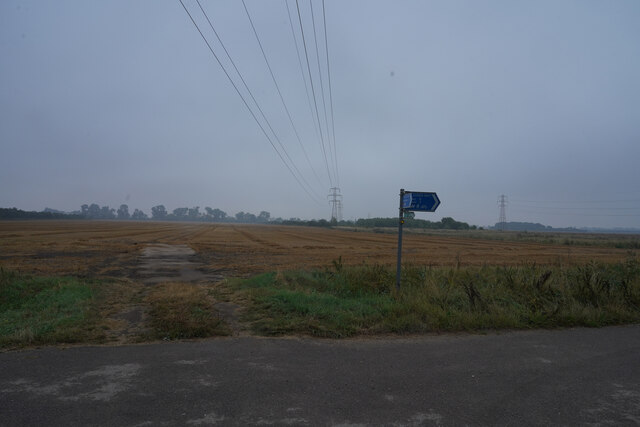
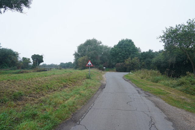
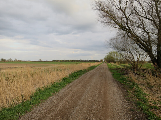
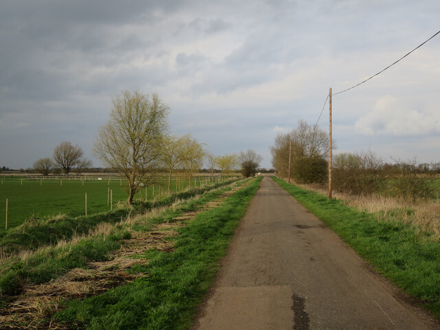
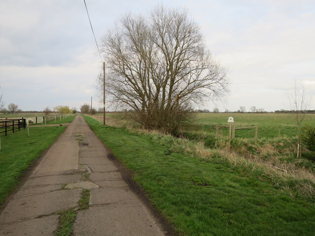
The fen offers nature lovers the opportunity to explore its beauty through a network of well-maintained footpaths and boardwalks. These pathways wind their way through the reserve, providing access to the different habitats and offering breathtaking views of the surrounding landscape.
Bottisham Poors' Fen is not only a place of natural beauty but also an important site for conservation. Efforts are made to protect and preserve the delicate ecosystem, ensuring the survival of the unique plant and animal species that call this fen their home.
In conclusion, Bottisham Poors' Fen is a remarkable nature reserve in Cambridgeshire, offering visitors a chance to immerse themselves in the beauty and tranquility of wetland habitats, while also contributing to the conservation of an important ecological site.
If you have any feedback on the listing, please let us know in the comments section below.
Bottisham Poors' Fen Images
Images are sourced within 2km of 52.259252/0.23860765 or Grid Reference TL5264. Thanks to Geograph Open Source API. All images are credited.

Bottisham Poors' Fen is located at Grid Ref: TL5264 (Lat: 52.259252, Lng: 0.23860765)
Administrative County: Cambridgeshire
District: East Cambridgeshire
Police Authority: Cambridgeshire
Also known as: Bottisham White Fen
What 3 Words
///exchanges.freezers.paradise. Near Waterbeach, Cambridgeshire
Nearby Locations
Related Wikis

Bottisham and Lode railway station
Bottisham and Lode Railway Station is a disused railway station on the Cambridge to Mildenhall railway in East Anglia, England. The station is located...
Lode, Cambridgeshire
Lode is a small village in East Cambridgeshire on the southern edge of The Fens. It lies just north of the B1102 between Quy and Swaffham Bulbeck, 8 miles...

Stow-Cum-Quy Fen
Stow-Cum-Quy Fen is a 29.9-hectare (74-acre) biological Site of Special Scientific Interest west of Lode in Cambridgeshire. Most of it is common land.The...
Anglesey Abbey
Anglesey Abbey is a National Trust property in the village of Lode, 5+1⁄2 miles (8.9 km) northeast of Cambridge, England. The property includes a country...

Waterbeach railway station
Waterbeach railway station is on the Fen line in the east of England, serving the village of Waterbeach, Cambridgeshire. It is 61 miles 1 chain (98.2 km...

Waterbeach Abbey
Waterbeach Abbey was an abbey at Waterbeach in Cambridgeshire, England. It was established in 1294 by nuns from the Second Order of St. Francis who had...

Church of St John the Evangelist, Waterbeach
The Anglican Church of St John the Evangelist (also known as St John's Church) is the parish church of the village of Waterbeach in Cambridgeshire, England...
Swaffham Bulbeck Priory
Swaffham Bulbeck Priory was a priory in Cambridgeshire, England. == References ==
Nearby Amenities
Located within 500m of 52.259252,0.23860765Have you been to Bottisham Poors' Fen?
Leave your review of Bottisham Poors' Fen below (or comments, questions and feedback).