Bottisham White Fen

Downs, Moorland in Cambridgeshire East Cambridgeshire

England

Bottisham White Fen

Lode: before the match Fassage Hall, completed in 2009, is a purpose-built community facility which caters for sporting, social and business events. <a href="https://www.geograph.org.uk/photo/7166899">TL5362 : Lode: cricket on the Recreation Ground</a> was about to start on a sunny afternoon in early May.
Lode: before the match Credit: John Sutton

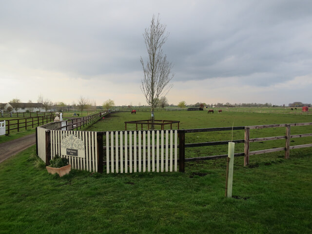
Bottisham White Fen is a unique and diverse natural area located in Cambridgeshire, England. Covering an extensive area of downs and moorland, it offers a rich and picturesque landscape that is highly valued for its ecological significance.

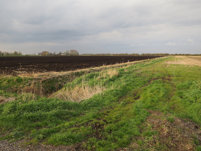
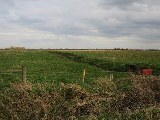
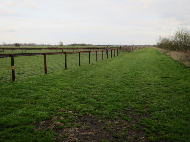
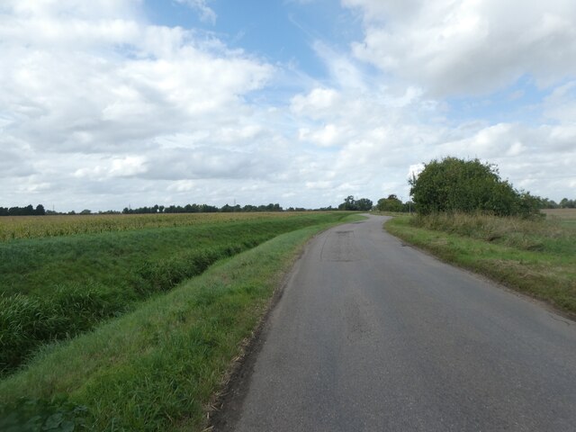
The downs of Bottisham White Fen are characterized by gently rolling hills, covered in a mix of grasses and low-growing shrubs. These open grasslands provide important habitats for a variety of plant and animal species, including rare orchids, butterflies, and ground-nesting birds.

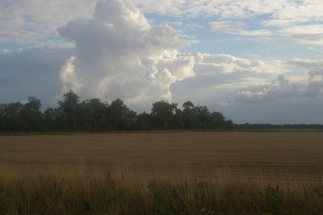
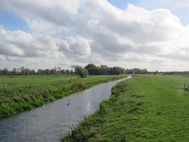
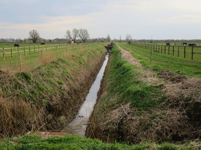
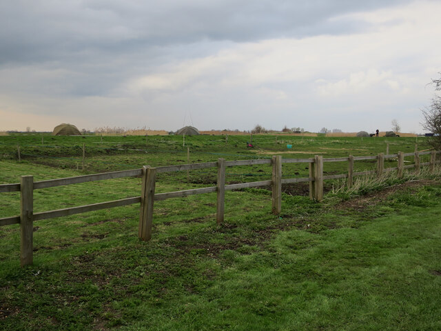
In contrast, the moorland areas of Bottisham White Fen are characterized by wet and boggy terrain. These areas are home to an array of unique plant species, such as sphagnum mosses and heather, which thrive in the acidic and waterlogged conditions. The moorland also provides a haven for a diverse range of bird species, including the iconic Eurasian curlew and the elusive marsh harrier.

Bottisham White Fen is not only significant for its ecological importance but also for its historical and cultural value. The area has been shaped by centuries of human activity, with evidence of ancient settlements and agricultural practices. Today, it continues to be managed and maintained through conservation efforts and careful land use planning.

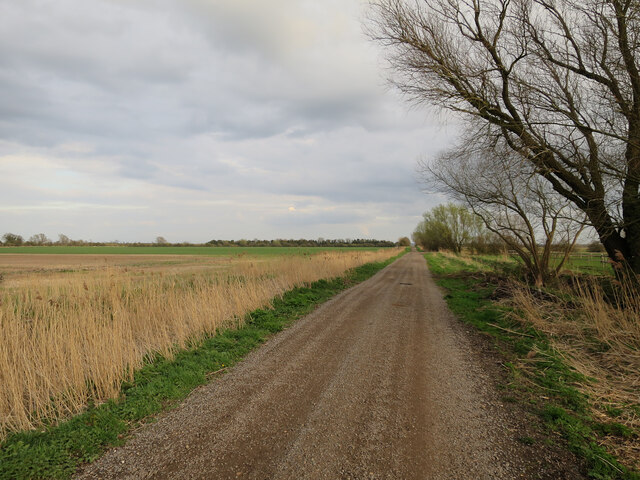
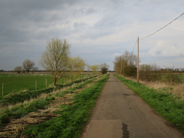
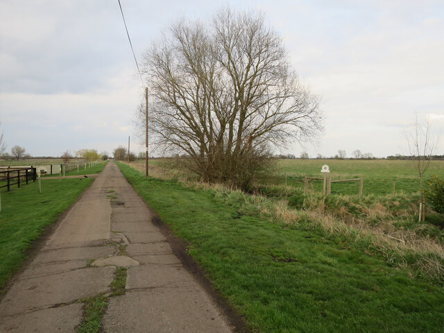
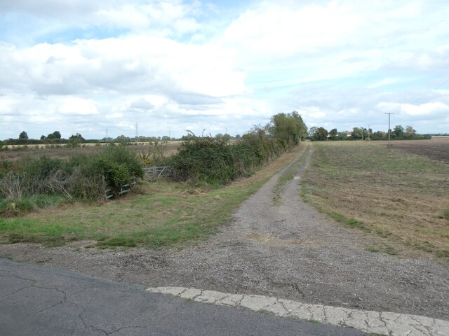
Visitors to Bottisham White Fen can explore the area through a network of well-maintained footpaths and enjoy the peace and tranquility that this unique natural landscape offers. Whether it's observing the wildlife, appreciating the stunning views, or learning about the area's fascinating history, Bottisham White Fen is a place of natural beauty and cultural significance.

If you have any feedback on the listing, please let us know in the comments section below.

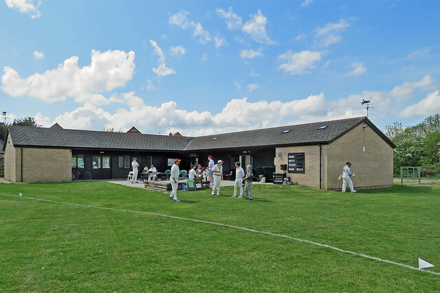
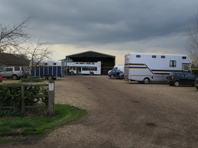
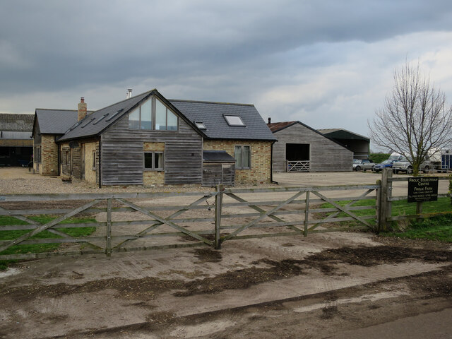
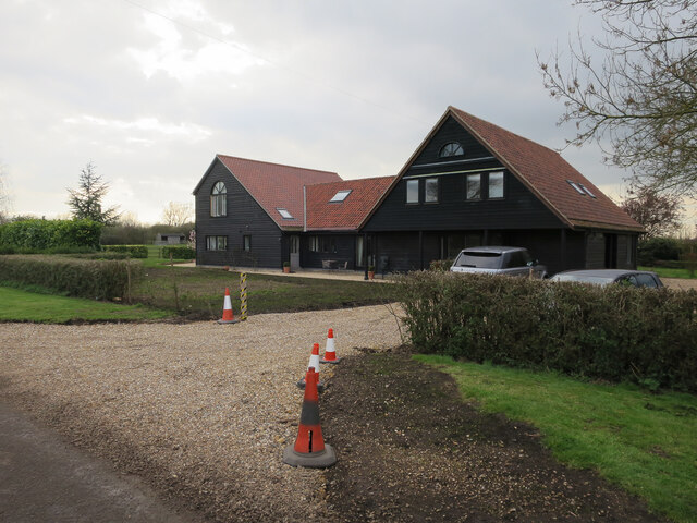
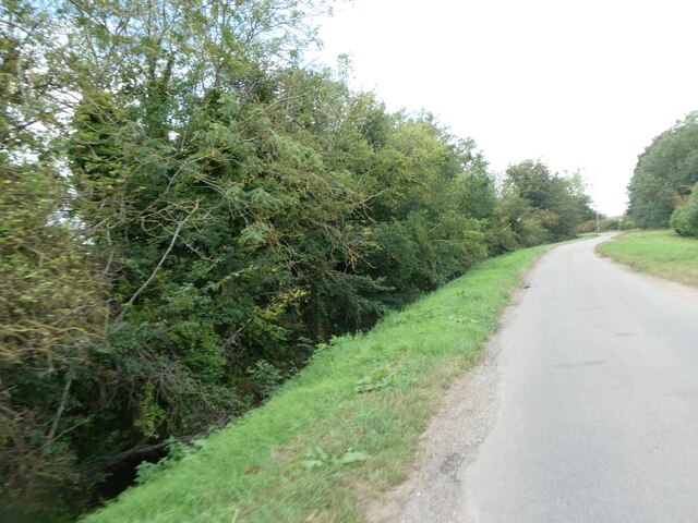
Bottisham White Fen Images

Images are sourced within 2km of 52.259252/0.23860765 or Grid Reference TL5264. Thanks to Geograph Open Source API. All images are credited.

Lode: before the match Fassage Hall, completed in 2009, is a purpose-built community facility which caters for sporting, social and business events. <a href="https://www.geograph.org.uk/photo/7166899">TL5362 : Lode: cricket on the Recreation Ground</a> was about to start on a sunny afternoon in early May.
Lode: before the match
Fassage Hall, completed in 2009, is a purpose-built community facility which caters for sporting, social and business events. TL5362 : Lode: cricket on the Recreation Ground was about to start on a sunny afternoon in early May.
View southwest off Whiteway Drove
Along Bottisham Lode Looking south-east towards Lode from near the River Cam on an October morning. Commercial traffic on the Lode dwindled after the opening of the Cambridge-Mildenhall railway in the 1860s.
Along Bottisham Lode
Looking south-east towards Lode from near the River Cam on an October morning. Commercial traffic on the Lode dwindled after the opening of the Cambridge-Mildenhall railway in the 1860s.
Ditch off Mill Drove With many horse paddocks around the polo fields.
Ditch off Mill Drove
With many horse paddocks around the polo fields.
Fields by Mill Drove
Grassland by Lug Fen Droveway Oily Hall, part of the National Trust expansion of Wicken Fen. See <a href="https://www.geograph.org.uk/photo/110089">TL5265 : Bottisham fen</a> for when it was arable land.
Grassland by Lug Fen Droveway
Oily Hall, part of the National Trust expansion of Wicken Fen. See TL5265 : Bottisham fen for when it was arable land.
Lug Fen Droveway
Lug Fen Droveway
High Summer Polo
High Summer Polo
Lug Fen Droveway Polo fields to the left, National Trust land reverted from arable on the right.
Lug Fen Droveway
Polo fields to the left, National Trust land reverted from arable on the right.
Horse paddocks by Lug Fen Droveway Part of a large area of polo fields and horse paddocks.
Horse paddocks by Lug Fen Droveway
Part of a large area of polo fields and horse paddocks.
Fishing on the farm reservoir
Frolic Farm With an open top bus converted as a scoreboard.
Frolic Farm
With an open top bus converted as a scoreboard.
Frolic Farm equestrian centre Several polo fields in the area.
Frolic Farm equestrian centre
Several polo fields in the area.
House at Frolic Farm
Fen Road, next to Bottisham Lode, north of Lode village
Fen Road and Bottisham Lode
Track to Bulls Farm from Fen Road
Show me another place!

Bottisham White Fen is located at Grid Ref: TL5264 (Lat: 52.259252, Lng: 0.23860765)

Administrative County: Cambridgeshire

District: East Cambridgeshire

Police Authority: Cambridgeshire

Also known as: Bottisham Poors' Fen

What 3 Words

///exchanges.freezers.paradise. Near Waterbeach, Cambridgeshire

Related Wikis

Bottisham and Lode railway station

Bottisham and Lode Railway Station is a disused railway station on the Cambridge to Mildenhall railway in East Anglia, England. The station is located...

Lode, Cambridgeshire

Lode is a small village in East Cambridgeshire on the southern edge of The Fens. It lies just north of the B1102 between Quy and Swaffham Bulbeck, 8 miles...

Stow-Cum-Quy Fen

Stow-Cum-Quy Fen is a 29.9-hectare (74-acre) biological Site of Special Scientific Interest west of Lode in Cambridgeshire. Most of it is common land.The...
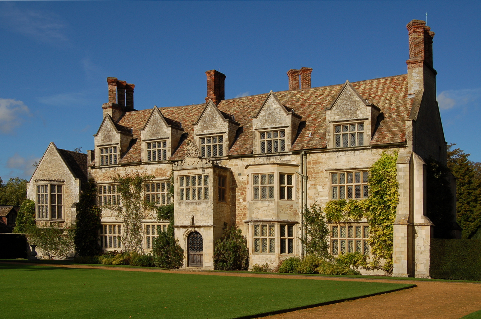
Anglesey Abbey

Anglesey Abbey is a National Trust property in the village of Lode, 5+1⁄2 miles (8.9 km) northeast of Cambridge, England. The property includes a country...

Nearby Amenities

Located within 500m of 52.259252,0.23860765
Design: barrel
Power: tower
Ref: PTC 20
Lat/Long: 52.2560149/0.2374037
Bottisham Fen
Created By: Potlatch 0.10b
Place: locality
Source: npe
Lat/Long: 52.2595413/0.2344145
Design: barrel
Power: tower
Ref: PTK 20
Source: Bing
Lat/Long: 52.2602662/0.243584
Barrier: bollard
Fixme: Describe what *could* get through here
Source: survey (Nov 2010)
Lat/Long: 52.2598226/0.2448293
Power: tower
Source: Bing
Lat/Long: 52.2576788/0.2417687
Power: tower
Ref: PTK 22
Source: Bing
Source Ref: interpolation
Lat/Long: 52.2585865/0.2376322
Power: tower
Source: Bing
Lat/Long: 52.2590277/0.2454299
Power: tower
Ref: PTK 21
Source: Bing
Source Ref: interpolation
Lat/Long: 52.2594581/0.2406702
Power: tower
Ref: PTK 23
Source: Bing
Source Ref: interpolation
Lat/Long: 52.2571665/0.232683
Barrier: kissing_gate
Foot: yes
Lat/Long: 52.2625731/0.2402149
The data included in this document is from www.openstreetmap.org. The data is made available under ODbL.

Have you been to Bottisham White Fen?

Leave your review of Bottisham White Fen below (or comments, questions and feedback).