Bog Plantation
Downs, Moorland in Yorkshire
England
Bog Plantation
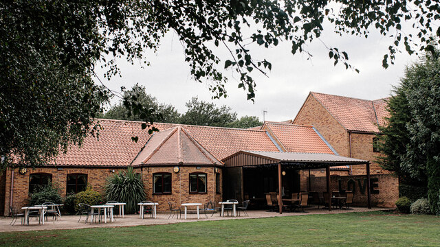
Bog Plantation, located in the picturesque region of Yorkshire in England, is a captivating natural landscape that spans across the famous Yorkshire Downs and Moorland. Spread over a vast area, the plantation offers a diverse and unique ecosystem that attracts nature enthusiasts and outdoor adventurers alike.
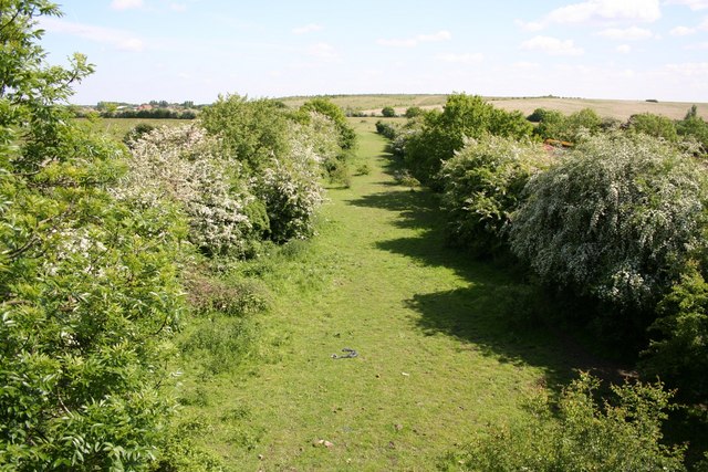
This enchanting plantation is characterized by its abundant boglands, which are home to a wide variety of plant and animal species. The bogs are formed by the accumulation of decaying vegetation over centuries, resulting in a waterlogged area rich in peat. This creates a distinct and fascinating environment, supporting rare and specialized flora and fauna.
Walking through Bog Plantation, visitors are treated to breathtaking views of rolling hills, verdant meadows, and ancient woodlands. The plantation is known for its vibrant display of wildflowers during the spring and summer months, including colorful heather, cotton grass, and bog rosemary. These flowers attract an array of insects and birds, making it a paradise for birdwatchers and nature photographers.
Furthermore, Bog Plantation offers a network of well-maintained trails and footpaths, allowing visitors to explore the area at their own pace. Hikers and nature lovers can venture through the plantation, immersing themselves in the tranquil ambiance while spotting wildlife such as red grouse, curlews, and adders.
Overall, Bog Plantation in Yorkshire is a captivating destination for those seeking to connect with nature and immerse themselves in the unique beauty of the Yorkshire Downs and Moorland ecosystem. Its diverse range of habitats and stunning landscapes make it a must-visit location for any nature enthusiast or outdoor adventurer.
If you have any feedback on the listing, please let us know in the comments section below.
Bog Plantation Images
Images are sourced within 2km of 53.584401/-1.1765879 or Grid Reference SE5410. Thanks to Geograph Open Source API. All images are credited.


Bog Plantation is located at Grid Ref: SE5410 (Lat: 53.584401, Lng: -1.1765879)
Division: West Riding
Unitary Authority: Doncaster
Police Authority: South Yorkshire
Also known as: Springhead Plantation
What 3 Words
///tricky.outlooks.trackers. Near Carcroft, South Yorkshire
Nearby Locations
Related Wikis

Carcroft
Carcroft is a rural village in the City of Doncaster, South Yorkshire, England. Historically part of the West Riding of Yorkshire, the village is roughly...
Bullcroft Colliery
Bullcroft Colliery was a coal mine situated by the village of Carcroft north of Doncaster. It operated from 1908 to 1970. == History == The Bullcroft Colliery...

Skellow
Skellow is a village in rural South Yorkshire part of the Metropolitan Borough of Doncaster, England. Historically part of the West Riding of Yorkshire...

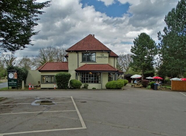
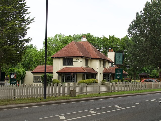
Owston, South Yorkshire
Owston is a small village and civil parish in the City of Doncaster in rural South Yorkshire, England. Historically part of the West Riding of Yorkshire...
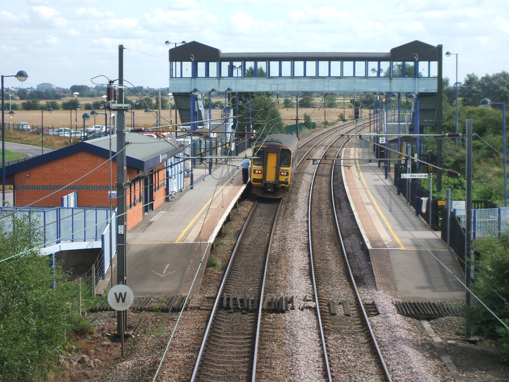
Adwick railway station
Adwick railway station serves the communities of Adwick le Street and Carcroft, in the Metropolitan Borough of Doncaster, South Yorkshire, England. Located...

Adwick le Street & Carcroft (ward)
Adwick le Street and Carcroft—consisting of Adwick le Street, Carcroft, Highfields, Skellow and Woodlands—is one of 21 electoral wards in the Metropolitan...

Burghwallis
Burghwallis is a small village and civil parish in rural South Yorkshire, England. The population of the civil parish as of the 2011 census was 300. The...

Adwick le Street
Adwick le Street is a village in the City of Doncaster, South Yorkshire, England. The Adwick ward of Doncaster Metropolitan Borough Council had a population...
Nearby Amenities
Located within 500m of 53.584401,-1.1765879Have you been to Bog Plantation?
Leave your review of Bog Plantation below (or comments, questions and feedback).