Henbarc

Settlement in Caernarfonshire

Wales

Henbarc

Electrical cabinet on Bangor Road, Bethesda
Electrical cabinet on Bangor Road, Bethesda Credit: Meirion

Henbarc is a small village located in the county of Caernarfonshire, Wales. Situated in the picturesque countryside, it lies approximately 5 miles northeast of the town of Caernarfon and is surrounded by rolling hills and lush green fields.

The village is known for its historical significance, with traces of early human habitation dating back to the Neolithic period. The remains of a hillfort, believed to be from the Iron Age, can also be found nearby, providing evidence of the area's ancient past.

Henbarc is characterized by its charming rural atmosphere and traditional Welsh architecture. The village is primarily residential, with a small number of houses and cottages scattered throughout. The community is close-knit, fostering a strong sense of belonging among its residents.

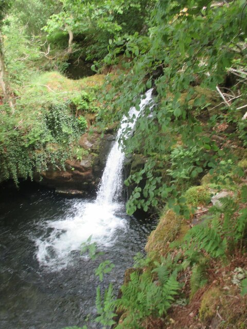
Nature enthusiasts are drawn to Henbarc for its tranquil surroundings and abundance of wildlife. The nearby countryside offers ample opportunities for outdoor activities such as hiking, cycling, and birdwatching.

Despite its small size, Henbarc benefits from its proximity to Caernarfon, which provides access to a wider range of amenities, including shops, schools, and healthcare facilities. The village is well-connected to the wider region via a network of roads, ensuring convenient transportation links.

Overall, Henbarc offers a peaceful and scenic retreat for those seeking a rural lifestyle in a historic setting, while still providing easy access to nearby urban centers.

If you have any feedback on the listing, please let us know in the comments section below.
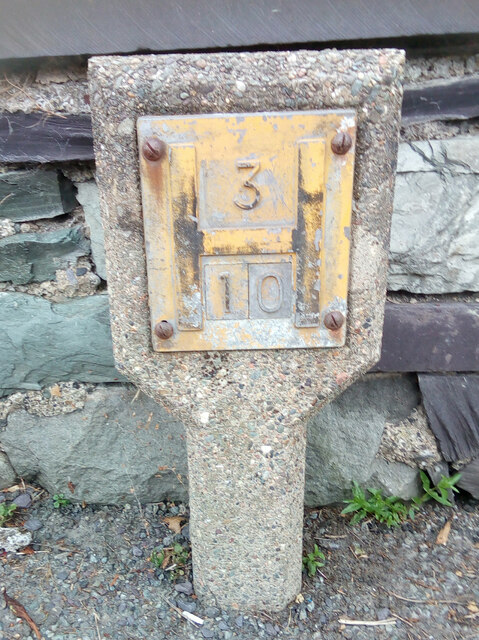
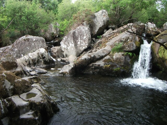
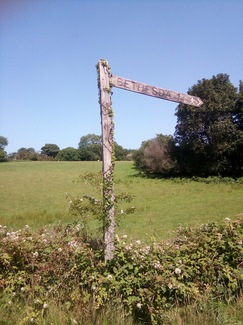
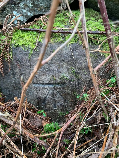
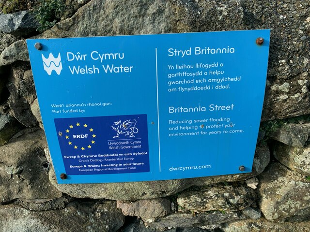
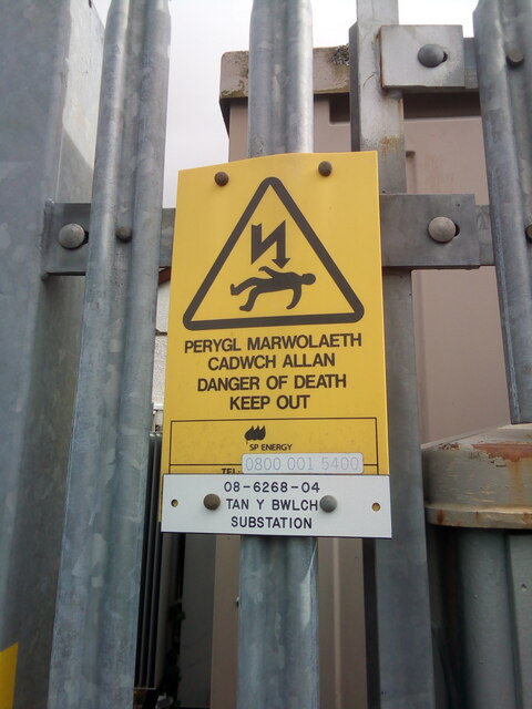
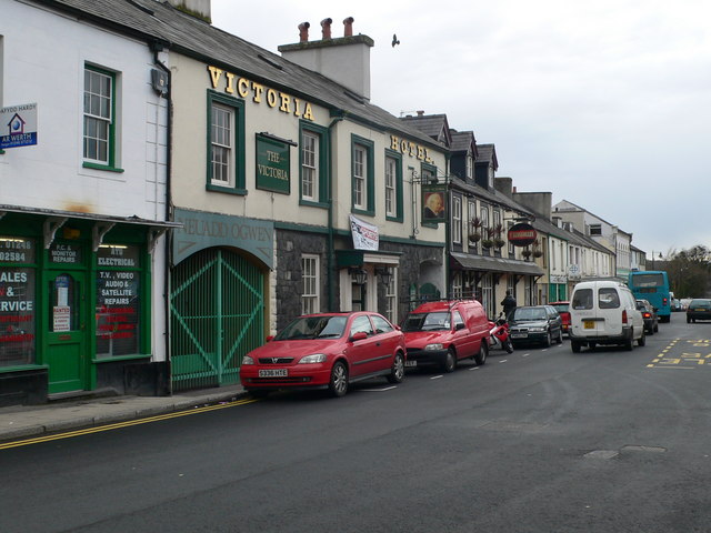
Henbarc Images

Images are sourced within 2km of 53.187205/-4.059495 or Grid Reference SH6267. Thanks to Geograph Open Source API. All images are credited.

Electrical cabinet on Bangor Road, Bethesda
Hydrant sign on Ffordd Gerlan, Bethesda
Electrical cabinet on Ffordd Gerlan, Bethesda
Electrical cabinet on Carneddi Road, Bethesda
Waterfall on Afon Caseg, Gwernydd
Hydrant marker on Gerlan Road, Bethesda
Elizabeth II post box on Braichmelyn, Bethesda LL57 21
Elizabeth II post box on Braichmelyn, Bethesda
LL57 21
Hydrant sign on Cefnfaes Road, Bethesda
Hydrant marker on Braichmelyn, Bethesda
Sluice valve marker at the junction of Station Road and Bangor Road, Bethesda
Damaged sluice valve marker on Bangor Road, Bethesda
Sluice valve marker on Bangor Road, Bethesda
Waterfall on Afon Caseg, Bethesda
Wooden fingerpost, Sling
Benchmark on Llwyn Bleddyn Road, Rachub For more details see: <span class="nowrap"><a title="https://www.bench-marks.org.uk/bm29697" rel="nofollow ugc noopener" href="https://www.bench-marks.org.uk/bm29697">Link</a><img style="margin-left:2px;" alt="External link" title="External link - shift click to open in new window" src="https://s1.geograph.org.uk/img/external.png" width="10" height="10"/></span>
Benchmark on Llwyn Bleddyn Road, Rachub
For more details see: LinkExternal link
Dŵr Cymru / Welsh Water sign on Britannia Street, Rachub
Sign at Tan y Bwlch substation on Tan y Garth, Rachub
Give way 100 yards sign, Tregarth
Show me another place!

Henbarc is located at Grid Ref: SH6267 (Lat: 53.187205, Lng: -4.059495)

Unitary Authority: Gwynedd

Police Authority: North Wales

Also known as: Hen-barc

What 3 Words

///regulates.recital.general. Near Bethesda, Gwynedd

Related Wikis

Pantdreiniog quarry

The Pantdreiniog quarry (also known as the Pant Dreiniog quarry) was a slate quarry within the town of Bethesda in North Wales. It was worked between about...

Rachub

Rachub (Welsh: ['raχɪb]) is a village of about 900 people in Dyffryn Ogwen (the Ogwen Valley), Gwynedd, Wales, about three-quarters of an mile (1.2 km...

Ysgol Dyffryn Ogwen

Ysgol Dyffryn Ogwen ("Ogwen Valley School") is a bilingual secondary school for pupils aged 11 to 19 years. It is situated in Bethesda in the Ogwen valley...

Ogwen (electoral ward)

Ogwen is the name of an electoral ward covering part of the village and community of Bethesda in Gwynedd, Wales. It elects councillors to the community...

Jerusalem Chapel, Bethesda

Jerusalem Chapel, Bethesda, Gwynedd, Wales is a Presbyterian Church of Wales chapel built in 1841–1842 and reconstructed in 1872–1875. Of colossal size...

Bethesda, Gwynedd

Bethesda (; Welsh: [bɛθ'ɛsda]) is a town and community in Gwynedd, Wales. It is on the banks of Afon Ogwen and on the edge of Snowdonia. It is 5 miles...

Bethesda railway station

Bethesda railway station was a station in Bethesda, Gwynedd, Wales. == History == The station was opened by the London and North Western Railway on 1 July...

Cwm Caseg

Cwm Caseg is a broad glacial valley in Snowdonia leading west from the Carneddau towards Bethesda. It is bordered by Carnedd Llewelyn to the southeast...

Nearby Amenities

Located within 500m of 53.187205,-4.059495
Pub
Y Sior
Lat/Long: 53.183067/-4.0582993
Barrier: kissing_gate
Bicycle: yes
Foot: yes
Lat/Long: 53.1847809/-4.0610075
Barrier: kissing_gate
Bicycle: yes
Foot: yes
Lat/Long: 53.1847468/-4.063382
Power: pole
Lat/Long: 53.183723/-4.0621447
Bus Stop
Bus: yes
Naptan AtcoCode: 5400AWF80955
Naptan NaptanCode: gwnjwag
Public Transport: platform
Lat/Long: 53.1896752/-4.0613323
Power: substation
Lat/Long: 53.1910879/-4.0629137
Bus Stop
Bus: yes
Public Transport: platform
Lat/Long: 53.1904661/-4.0621395
Power: pole
Lat/Long: 53.189973/-4.0641597
Power: pole
Lat/Long: 53.1843124/-4.0615258
Power: pole
Lat/Long: 53.1855324/-4.0614775
Power: pole
Lat/Long: 53.1872264/-4.0618262
Power: pole
Lat/Long: 53.1847111/-4.0611047
Power: pole
Lat/Long: 53.1878853/-4.06203
Power: pole
Lat/Long: 53.1887114/-4.0628722
Power: pole
Lat/Long: 53.1892835/-4.0634489
Traffic Calming: yes
Lat/Long: 53.1857243/-4.0591966
Traffic Calming: yes
Lat/Long: 53.1861376/-4.0594612
Power: pole
Lat/Long: 53.1853327/-4.057769
Traffic Calming: yes
Lat/Long: 53.1875107/-4.0606356
Traffic Calming: yes
Lat/Long: 53.1864985/-4.0597759
Traffic Calming: yes
Lat/Long: 53.1868354/-4.0602181
Traffic Calming: yes
Lat/Long: 53.1871294/-4.0605276
Power: pole
Lat/Long: 53.1866796/-4.058123
Power: pole
Lat/Long: 53.1859113/-4.0579299
Power: pole
Lat/Long: 53.187345/-4.0582679
Power: pole
Lat/Long: 53.1878432/-4.0583671
Henbarc
Place: locality
Source: OS OpenData StreetView
Lat/Long: 53.1872784/-4.0600727
Power: pole
Lat/Long: 53.1863366/-4.061671
Power: pole
Lat/Long: 53.1844903/-4.0565361
Power: pole
Lat/Long: 53.186584/-4.0664206
Power: pole
Lat/Long: 53.1865181/-4.0654658
Power: pole
Lat/Long: 53.1864473/-4.0640576
Power: pole
Lat/Long: 53.18642/-4.0633254
Power: pole
Lat/Long: 53.1863718/-4.0624188
Power: pole
Lat/Long: 53.1885974/-4.0588446
Power: pole
Lat/Long: 53.1893511/-4.0593623
Power: pole
Lat/Long: 53.190137/-4.0598129
Power: pole
Lat/Long: 53.1902109/-4.0597834
Power: pole
Lat/Long: 53.1908843/-4.060183
Barrier: kissing_gate
Foot: yes
Lat/Long: 53.1878747/-4.0577701
Barrier: kissing_gate
Lat/Long: 53.1896081/-4.0566932
Stop
Lat/Long: 53.1852649/-4.0656772
Give Way
Direction: backward
Lat/Long: 53.1854303/-4.0655089
Direction: WSW
Generator Method: photovoltaic
Generator Output Electricity: yes
Generator Solar Modules: 8
Generator Source: solar
Generator Type: solar_photovoltaic_panel
Location: roof
Power: generator
Lat/Long: 53.1827361/-4.0587631
Direction: ENE
Generator Method: photovoltaic
Generator Output Electricity: yes
Generator Solar Modules: 8
Generator Source: solar
Generator Type: solar_photovoltaic_panel
Location: roof
Power: generator
Lat/Long: 53.1827482/-4.0587051
Direction: 145
Generator Method: photovoltaic
Generator Output Electricity: yes
Generator Solar Modules: 14
Generator Source: solar
Generator Type: solar_photovoltaic_panel
Location: roof
Power: generator
Lat/Long: 53.1857928/-4.0599005
Direction: SW
Generator Method: photovoltaic
Generator Output Electricity: yes
Generator Solar Modules: 11
Generator Source: solar
Generator Type: solar_photovoltaic_panel
Location: roof
Power: generator
Lat/Long: 53.1833554/-4.0575794
Direction: 145
Generator Method: photovoltaic
Generator Output Electricity: yes
Generator Solar Modules: 12
Generator Source: solar
Generator Type: solar_photovoltaic_panel
Location: roof
Power: generator
Lat/Long: 53.183017/-4.0574406
Direction: SW
Generator Method: photovoltaic
Generator Output Electricity: yes
Generator Solar Modules: 40
Generator Source: solar
Generator Type: solar_photovoltaic_panel
Location: roof
Power: generator
Lat/Long: 53.1848539/-4.0653598
Direction: 235
Generator Method: photovoltaic
Generator Output Electricity: yes
Generator Solar Modules: 14
Generator Source: solar
Generator Type: solar_photovoltaic_panel
Location: roof
Power: generator
Lat/Long: 53.1876649/-4.0626525
Direction: WSW
Generator Method: photovoltaic
Generator Output Electricity: yes
Generator Solar Modules: 16
Generator Source: solar
Generator Type: solar_photovoltaic_panel
Location: roof
Power: generator
Lat/Long: 53.1906108/-4.061535
The data included in this document is from www.openstreetmap.org. The data is made available under ODbL.

Have you been to Henbarc?

Leave your review of Henbarc below (or comments, questions and feedback).