Alder Carr

Downs, Moorland in Suffolk East Suffolk

England

Alder Carr

Cartshed, past the best
Cartshed, past the best Credit: Adrian S Pye

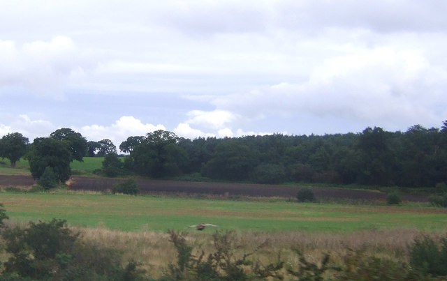
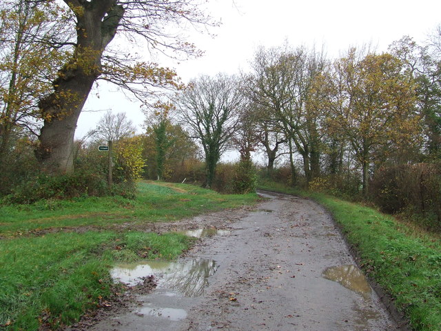
Alder Carr is a picturesque area located in Suffolk, England. Nestled between the Downs and Moorland, it is renowned for its natural beauty and tranquil atmosphere. The name "Alder Carr" is derived from the Old English words for "alder trees" and "marshy ground," which perfectly encapsulates the landscape found in this area.

The Downs in Alder Carr provide visitors with stunning views of rolling hills and open grasslands. These slopes are covered with a variety of wildflowers, including vibrant poppies and delicate primroses. The area is also home to a diverse range of wildlife, such as rabbits, foxes, and various bird species. Walking trails crisscross the Downs, allowing visitors to explore this stunning landscape at their own pace.

On the other hand, the Moorland in Alder Carr offers a completely different experience. The terrain is characterized by vast expanses of heathland, interspersed with patches of gorse and heather. As visitors venture deeper into the moorland, they may encounter unique flora and fauna, including rare orchids and elusive wild ponies. The moorland is also known for its peacefulness, making it an ideal spot for those seeking solitude amidst nature.

Overall, Alder Carr offers a diverse range of natural landscapes, providing something for every nature enthusiast. Whether you prefer the sweeping views of the Downs or the rugged beauty of the Moorland, this area promises a truly immersive and breathtaking experience for all who visit.

If you have any feedback on the listing, please let us know in the comments section below.
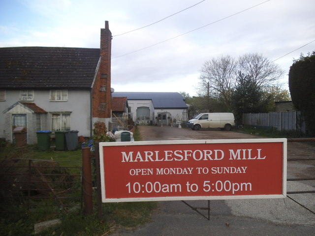
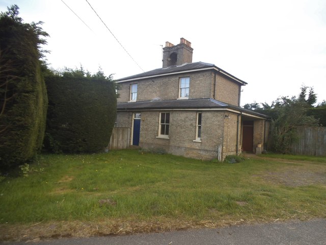
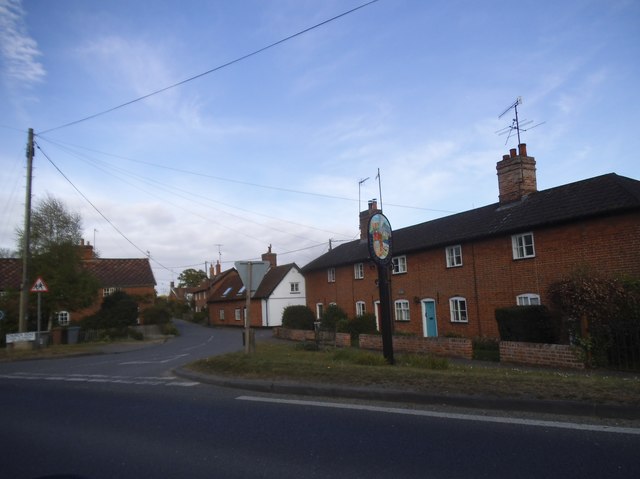
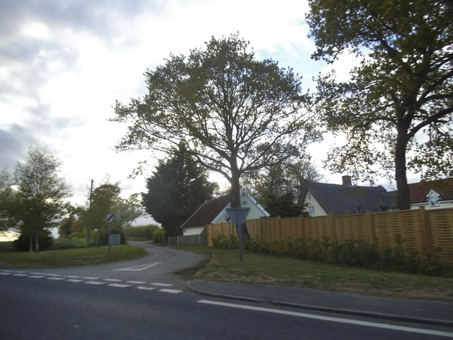
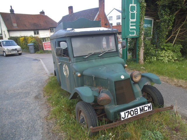
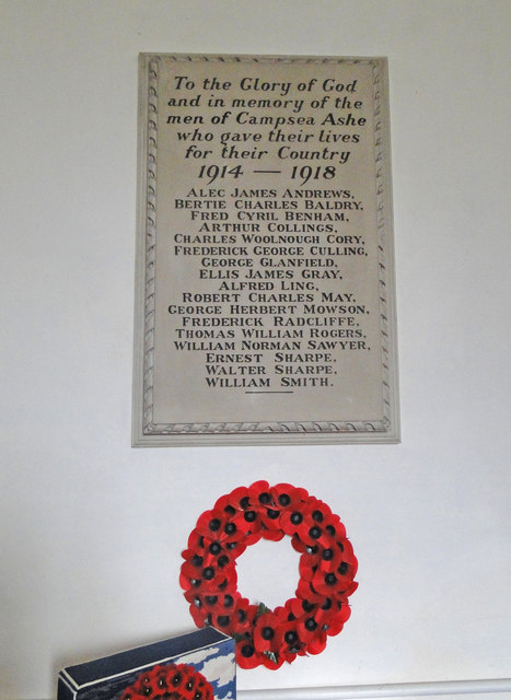
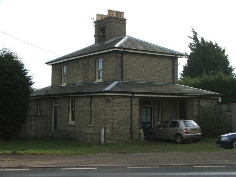
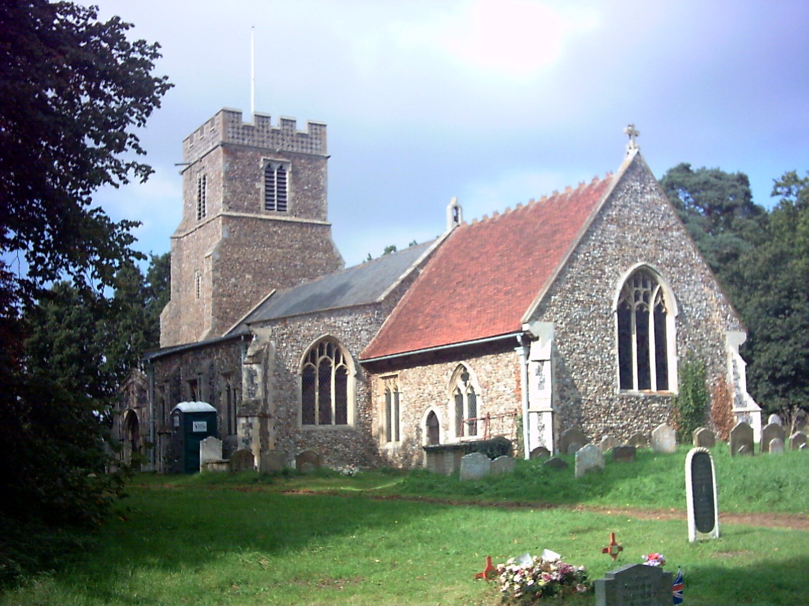
Alder Carr Images

Images are sourced within 2km of 52.1662/1.4067795 or Grid Reference TM3357. Thanks to Geograph Open Source API. All images are credited.

Cartshed, past the best
Field Cottage Set in farmland near Jolly's Farm.
Field Cottage
Set in farmland near Jolly's Farm.
Farmland towards Allonsfield
Field, Campsea Ashe Looking towards the church.
Field, Campsea Ashe
Looking towards the church.
Farmland near Blaxhall Hall
View across the fields to Blaxhall Hall
Keepers Lane Footpath off Keepers Lane near to Little Glemham, Suffolk.
Keepers Lane
Footpath off Keepers Lane near to Little Glemham, Suffolk.
Marlesford Ford This ford is found on Ford Road in Marlesford.
Marlesford Ford
This ford is found on Ford Road in Marlesford.
Interior of St John the Baptist's Church The 14th-century nave and chancel were rebuilt in 1792 and further restored in 1869.  The chancel arch and ceiling date from the 19th-century restoration.  The communion table of 1936 was designed by the noted Suffolk ecclesiologist Henry Munro Cautley.  The east window showing Christ in majesty <a href="https://www.geograph.org.uk/photo/2012442">TM3255 : Campsea Ashe, St John the Baptist: stained glass window (3)</a> is the work of Powell & Sons in 1912 as a memorial to William and Alice Lowther.  <span class="nowrap"><a title="http://www.suffolkchurches.co.uk/campsea.html" rel="nofollow ugc noopener" href="http://www.suffolkchurches.co.uk/campsea.html">Link</a><img style="margin-left:2px;" alt="External link" title="External link - shift click to open in new window" src="https://s1.geograph.org.uk/img/external.png" width="10" height="10"/></span>
Interior of St John the Baptist's Church
The 14th-century nave and chancel were rebuilt in 1792 and further restored in 1869. The chancel arch and ceiling date from the 19th-century restoration. The communion table of 1936 was designed by the noted Suffolk ecclesiologist Henry Munro Cautley. The east window showing Christ in majesty TM3255 : Campsea Ashe, St John the Baptist: stained glass window (3) is the work of Powell & Sons in 1912 as a memorial to William and Alice Lowther. LinkExternal link
Faith and Hope - two theological virtues Pre-Raphaelite stained glass of 1882 in St John the Baptist's Church, designed by Sir Henry Holiday for Powell Brothers as a memorial to John George Sheppard.  Faith is represented by the Cross, and Hope by an anchor.  In the vine-leaf panels above, doves symbolising the Holy Spirit are seen ascending at the left and descending on the right.  For a general view of the window see <a href="https://www.geograph.org.uk/photo/2012477">TM3255 : Campsea Ashe, St John the Baptist: stained glass window (5)</a>.
Faith and Hope - two theological virtues
Pre-Raphaelite stained glass of 1882 in St John the Baptist's Church, designed by Sir Henry Holiday for Powell Brothers as a memorial to John George Sheppard. Faith is represented by the Cross, and Hope by an anchor. In the vine-leaf panels above, doves symbolising the Holy Spirit are seen ascending at the left and descending on the right. For a general view of the window see TM3255 : Campsea Ashe, St John the Baptist: stained glass window (5).
Pelican in her Piety Stained glass of 1880 in St John the Baptist's Church; detail of a memorial window to Egidia, 5th Baroness Rendlesham.  The companion left-hand panel shows the Agnus Dei.  For the whole window see <a href="https://www.geograph.org.uk/photo/2012430">TM3255 : Campsea Ashe, St John the Baptist: stained glass window (1)</a>.
Pelican in her Piety
Stained glass of 1880 in St John the Baptist's Church; detail of a memorial window to Egidia, 5th Baroness Rendlesham. The companion left-hand panel shows the Agnus Dei. For the whole window see TM3255 : Campsea Ashe, St John the Baptist: stained glass window (1).
Cut Mark Campsey Ashe Church Cut Mark Campsey Ashe St John the Baptist Church SE angle, SE face.
Cut Mark Campsey Ashe Church
Cut Mark Campsey Ashe St John the Baptist Church SE angle, SE face.
Marlesford Mill
Marlesford Mill
The old railway station at Marlesford Thanks to Adrian Pye for identifying the building. <a title="https://www.geograph.org.uk/photo/4409748" href="https://www.geograph.org.uk/photo/4409748">Link</a>
The old railway station at Marlesford
Thanks to Adrian Pye for identifying the building. Link
Little Glemham village
Keepers Lane at the junction of the A12 The house was sold towards the end of 2016 with the fence added since.
Keepers Lane at the junction of the A12
The house was sold towards the end of 2016 with the fence added since.
Old van outside Marlesford Mill I am guessing the van is from about the 1930s, meaning by law the number plate must be no more recent than that. This one is about 1989 for no known reason.
Old van outside Marlesford Mill
I am guessing the van is from about the 1930s, meaning by law the number plate must be no more recent than that. This one is about 1989 for no known reason.
Campsea Ashe War Memorial Campsea Ashe War Memorial for the Great War bears 17 names. Their details and those from WW2 can be seen here: <span class="nowrap"><a title="http://media.geograph.org.uk/files/fe9fc289c3ff0af142b6d3bead98a923/CAMPSEA_ASHE_War_Memorial.pdf" rel="nofollow ugc noopener" href="http://media.geograph.org.uk/files/fe9fc289c3ff0af142b6d3bead98a923/CAMPSEA_ASHE_War_Memorial.pdf">Link</a><img style="margin-left:2px;" alt="External link" title="External link - shift click to open in new window" src="https://s1.geograph.org.uk/img/external.png" width="10" height="10"/></span>
Campsea Ashe War Memorial
Campsea Ashe War Memorial for the Great War bears 17 names. Their details and those from WW2 can be seen here: LinkExternal link
Show me another place!

Alder Carr is located at Grid Ref: TM3357 (Lat: 52.1662, Lng: 1.4067795)

Administrative County: Suffolk

District: East Suffolk

Police Authority: Suffolk

What 3 Words

///takeovers.inherits.void. Near Wickham Market, Suffolk

Nearby Locations

Ash Covert Alder Carr

Related Wikis

Marlesford railway station

Marlesford railway station was a station located in Marlesford, Suffolk. It closed in 1952.The station was served by trains that operated between Framlingham...

Marlesford

Marlesford is a village and civil parish in the East Suffolk district of Suffolk, England. The population of the civil parish at the 2011 Census was 233...

Plomesgate Rural District

Plomesgate Rural District was a rural district within the administrative county of East Suffolk between 1894 and 1934. == History == The district had...

Little Glemham

Little Glemham is a small village on the A12 road, in the East Suffolk district, in the county of Suffolk, England. The population of the parish at the...

Campsea Ashe

Campsea Ashe (sometimes spelt Campsey Ash) is a village in Suffolk, England located approximately 5 miles (8 km) north east of Woodbridge and 6 miles...

Wickham Market railway station

Wickham Market railway station is on the East Suffolk Line in the east of England, located in Campsea Ashe, Suffolk, approximately 2 miles (3.2 km) east...

Glemham Hall

Glemham Hall is an Elizabethan stately home, set in around 300 acres (120 ha) of park land on the outskirts of the village of Little Glemham in Suffolk...

Deben Mill

Deben Mill is a water mill on the River Deben located on the boundary between the civil parishes of Wickham Market and Hacheston, in Suffolk, England....

Nearby Amenities

Located within 500m of 52.1662,1.4067795
Bus Stop
Old Station
Naptan AtcoCode: 390060276
Naptan Bearing: E
Naptan BusStopType: CUS
Naptan CommonName: Old Station
Naptan Indicator: adj
Naptan Landmark: Old Station
Naptan NaptanCode: sufgpdjp
Naptan Street: A12
Source: naptan_import;Bing
Lat/Long: 52.1685953/1.4008668
Bus Stop
Old Station
Naptan AtcoCode: 390060277
Naptan Bearing: W
Naptan CommonName: Old Station
Naptan Indicator: opp
Naptan Landmark: Old Station
Naptan NaptanCode: sufgpdjt
Naptan Street: A12
Shelter: yes
Source: naptan_import;survey
Lat/Long: 52.1686371/1.4016483
Marlesford
Disused Railway: station
Railway: site
Source: OS7
Wikidata: Q6771771
Wikipedia: en:Marlesford railway station
Lat/Long: 52.1682482/1.4009608
Post Box
Collection Times: Mo-Fr 16:00; Sa 09:00
Post Box Mounting: pier
Post Box Type: lamp
Ref: IP13 6307
Royal Cypher: EIIR
Royal Cypher Wikidata: Q33102113
Lat/Long: 52.1684802/1.4011081
Barrier: yes
Lat/Long: 52.1687755/1.4021758
Power: pole
Lat/Long: 52.1695223/1.4020161
Power: pole
Lat/Long: 52.1686405/1.4007461
The data included in this document is from www.openstreetmap.org. The data is made available under ODbL.

Have you been to Alder Carr?

Leave your review of Alder Carr below (or comments, questions and feedback).