Honing Common
Downs, Moorland in Norfolk North Norfolk
England
Honing Common

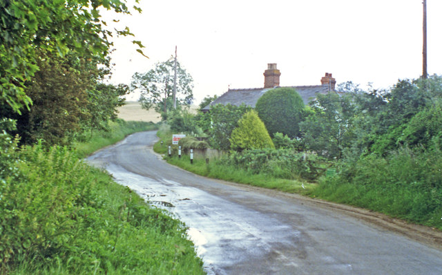
Honing Common is a picturesque village located in the county of Norfolk, England. Situated in the east of the county, it is part of the North Norfolk district. The village is surrounded by beautiful countryside, including downs and moorland, which offer stunning views and opportunities for outdoor activities.
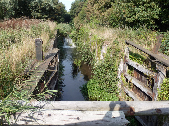
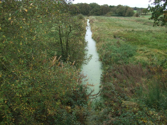
The common itself is a vast area of open land, characterized by its rolling hills and heathland. It is an important habitat for a variety of wildlife, including rare bird species, such as the nightjar and the stone curlew. The diverse flora and fauna make it an ideal spot for nature enthusiasts and birdwatchers.
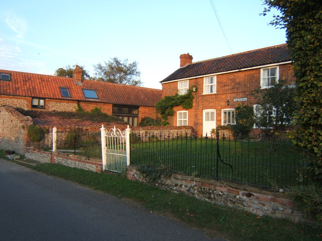
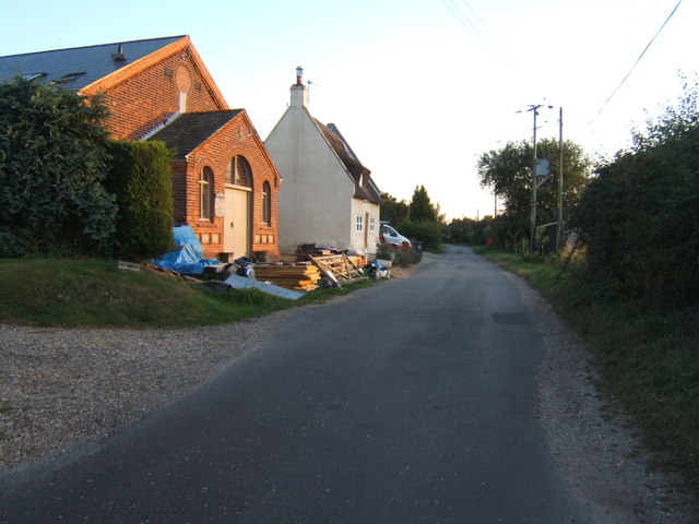
The village of Honing Common has a small population, with a close-knit community feel. It is home to a handful of charming cottages and traditional houses, which add to its idyllic charm. The local residents take great pride in maintaining the village's rural character and preserving its natural beauty.
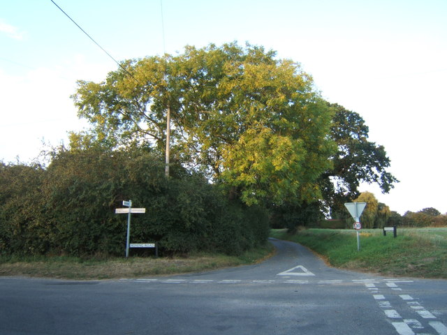
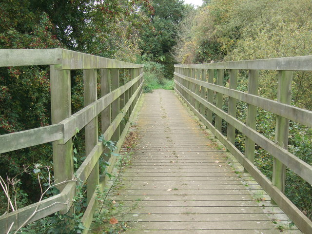
The surrounding area offers plenty of opportunities for outdoor pursuits, such as hiking, cycling, and horse riding. There are also several footpaths and bridleways that crisscross the landscape, allowing visitors to explore the countryside at their leisure.
In terms of amenities, Honing Common has a few local businesses, including a village pub and a small convenience store. For a wider range of facilities, the nearby towns of North Walsham and Stalham are easily accessible.
Honing Common is a hidden gem in Norfolk, offering tranquility, natural beauty, and a sense of community to both residents and visitors alike.
If you have any feedback on the listing, please let us know in the comments section below.
Honing Common Images
Images are sourced within 2km of 52.794677/1.454971 or Grid Reference TG3327. Thanks to Geograph Open Source API. All images are credited.


Honing Common is located at Grid Ref: TG3327 (Lat: 52.794677, Lng: 1.454971)
Administrative County: Norfolk
District: North Norfolk
Police Authority: Norfolk
What 3 Words
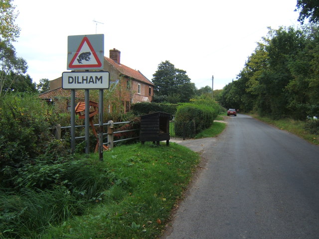
///local.ogre.usual. Near Stalham, Norfolk
Nearby Locations
Related Wikis
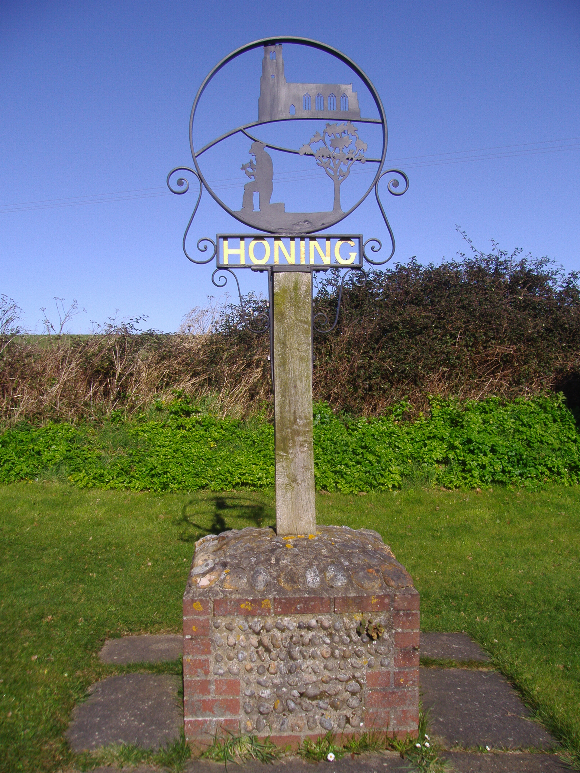
Honing, Norfolk
Honing is a village and a civil parish in the English county of Norfolk. The village is 15 miles (24 km) north-northeast of Norwich, 13 miles (21 km) south...
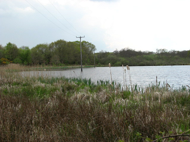
East Ruston Common
East Ruston Common is a 34.5-hectare (85-acre) biological Site of Special Scientific Interest south-east of North Walsham om Norfolk.This is an area of...

Dilham Castle
Dilham Castle, also called Dilham Hall, is situated in the village of Dilham, near Stalham in Norfolk, England. == Details == Dilham Castle was built in...
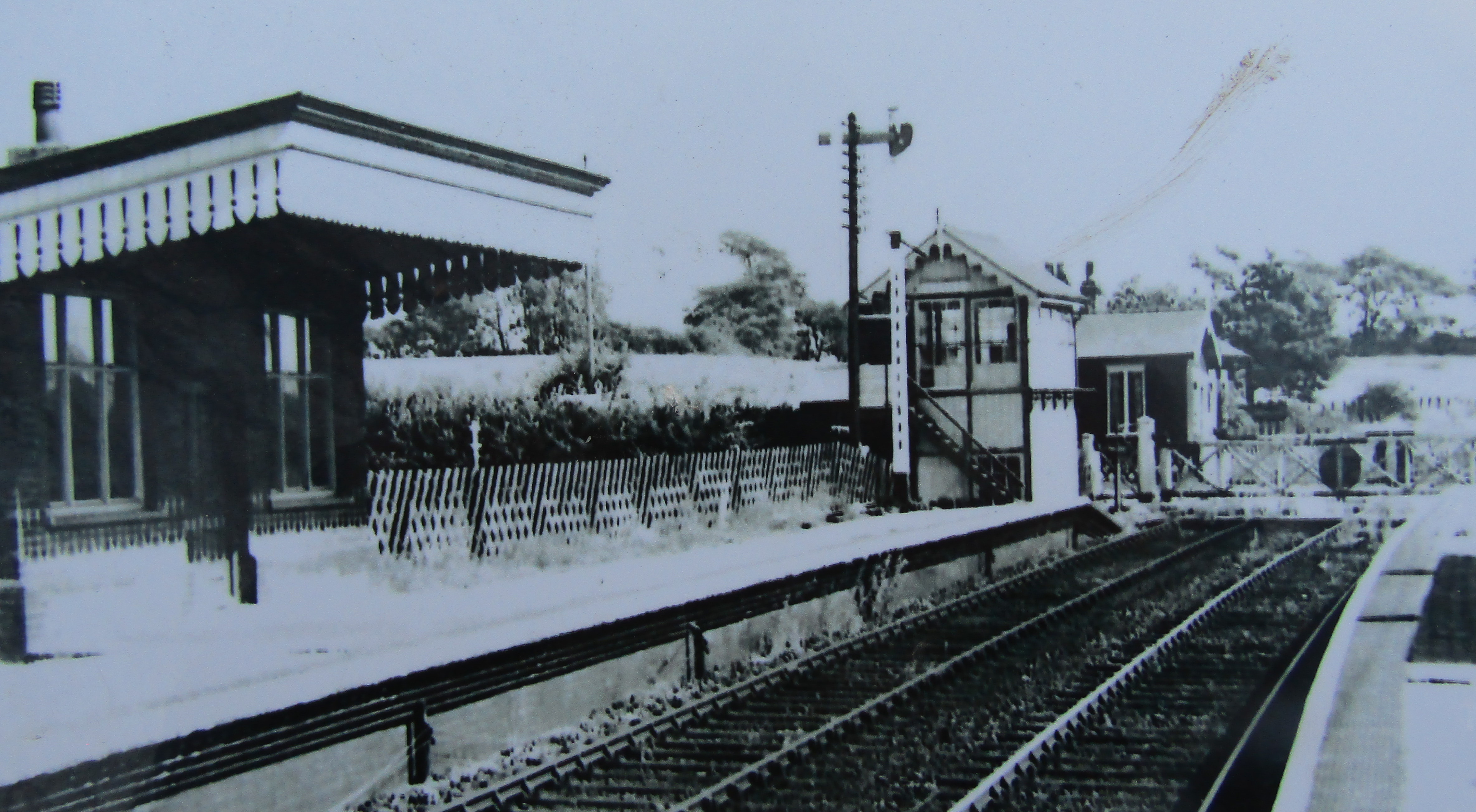
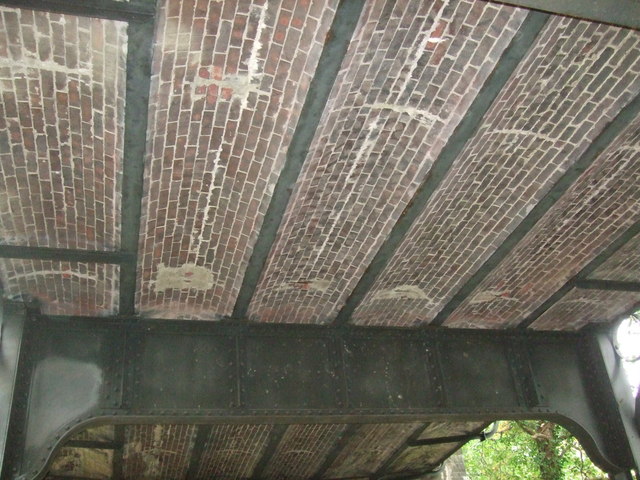
Honing railway station
Honing railway station was a station in Norfolk, England, serving the small village of Honing. It was on the Midland and Great Northern Joint Railway between...
Nearby Amenities
Located within 500m of 52.794677,1.454971Have you been to Honing Common?
Leave your review of Honing Common below (or comments, questions and feedback).