Stubb's Green
Downs, Moorland in Norfolk South Norfolk
England
Stubb's Green
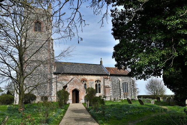
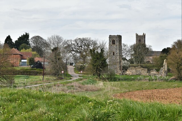
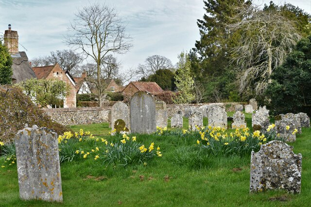
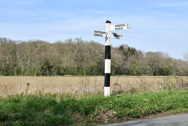
Stubb's Green is a small village located in the county of Norfolk, England. Situated in the eastern region of the country, it falls within the district of Breckland. The village is known for its picturesque surroundings, characterized by rolling downs and vast moorland.
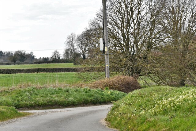
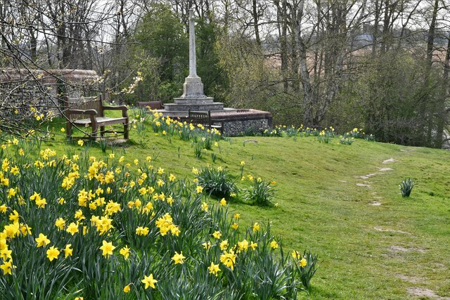
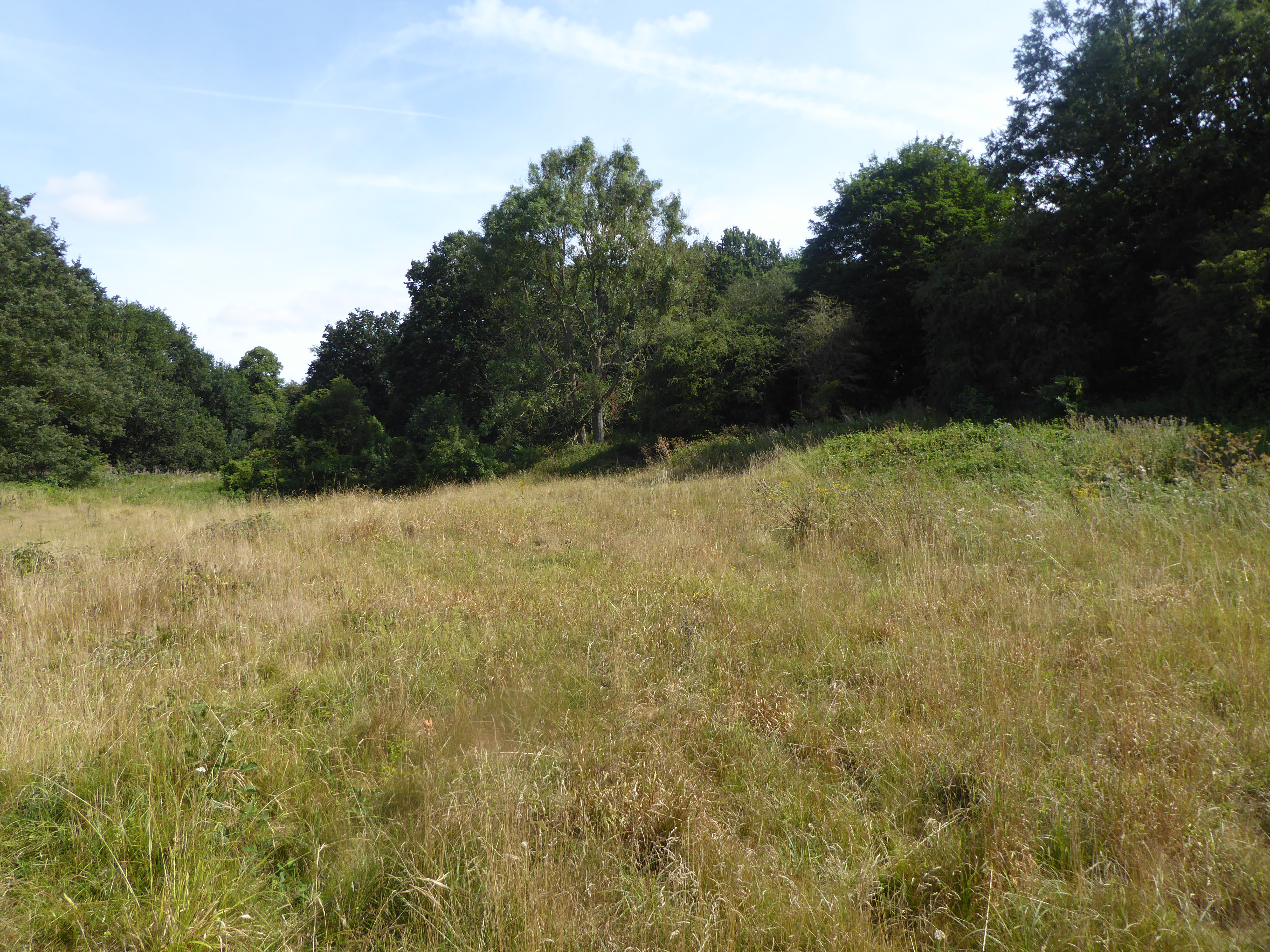
The Downs in Stubb's Green offer stunning views of the surrounding countryside, with open grasslands and gentle slopes. These downs attract nature enthusiasts and hikers, who can enjoy long walks while appreciating the natural beauty of the area. The downs also provide a habitat for various wildlife species, including rabbits, foxes, and a diverse range of birdlife.
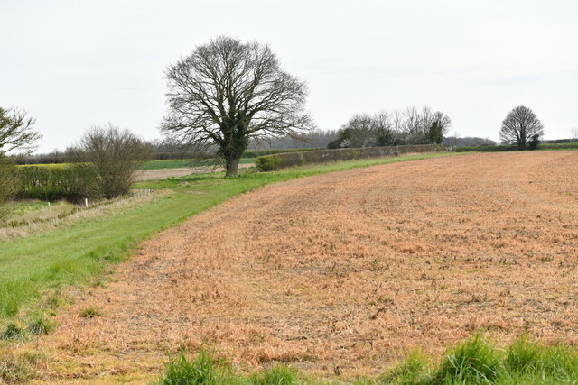
Adjacent to the downs, Stubb's Green is blessed with extensive moorland. This moorland landscape is characterized by wet, acidic soils and is home to a variety of plant species, such as heather and gorse. Moorland is a vital ecosystem that supports a range of wildlife, including reptiles, insects, and several bird species.
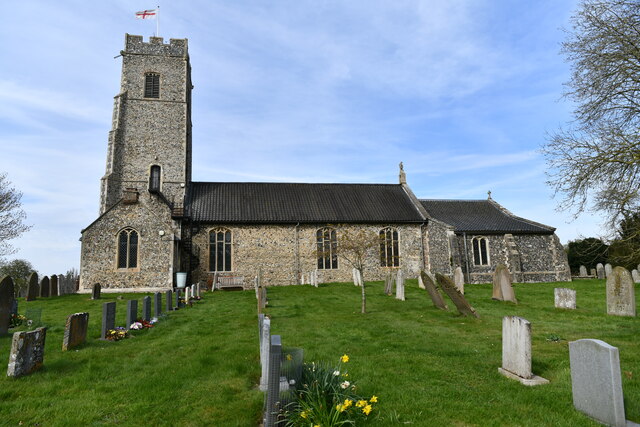
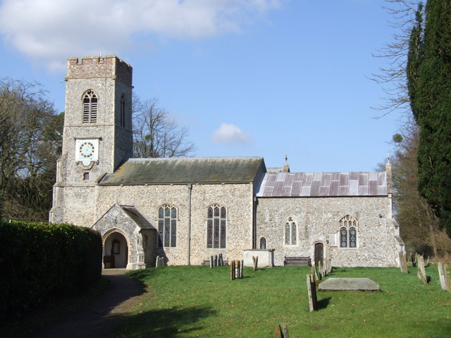
The village itself is small and tight-knit, with a population of around 300 residents. It has a charming, rural atmosphere and a strong sense of community. Stubb's Green boasts a few local amenities, including a village hall, a primary school, and a pub, which serves as a social hub for the residents.
Overall, Stubb's Green in Norfolk offers a tranquil and idyllic setting, with its downs and moorland providing a haven for nature lovers and a peaceful way of life for its residents.
If you have any feedback on the listing, please let us know in the comments section below.
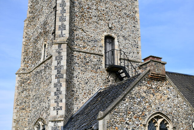
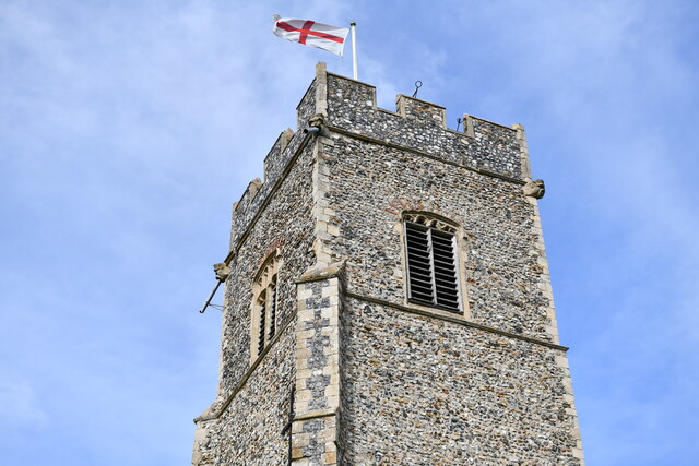
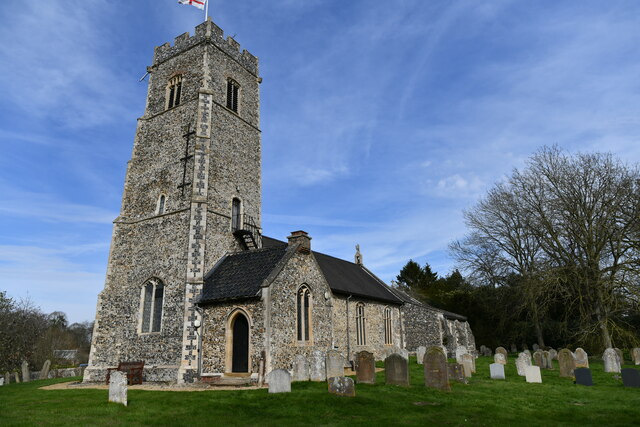
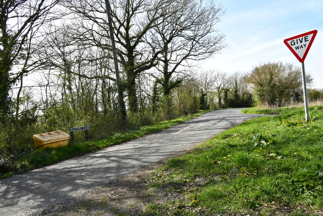
Stubb's Green Images
Images are sourced within 2km of 52.534534/1.3187145 or Grid Reference TM2598. Thanks to Geograph Open Source API. All images are credited.


Stubb's Green is located at Grid Ref: TM2598 (Lat: 52.534534, Lng: 1.3187145)
Administrative County: Norfolk
District: South Norfolk
Police Authority: Norfolk
What 3 Words
///lifters.respected.directly. Near Brooke, Norfolk
Nearby Locations
Related Wikis

Shotesham
Shotesham () is a village in South Norfolk which lies approximately 5 miles south of Norwich. It sits next to Stoke Holy Cross and Saxlingham Nethergate...

Shotesham Common
Shotesham Common is a 21.6-hectare (53-acre) biological Site of Special Scientific Interest south of Norwich in Norfolk.This site consists of traditionally...

Shotesham-Woodton Hornbeam Woods
Shotesham-Woodton Hornbeam Woods is a 40.4-hectare (100-acre) biological Site of Special Scientific Interest east of Newton Flotman in Norfolk.This site...
Saxlingham Nethergate
Saxlingham Nethergate is a village and civil parish in Norfolk, England, about 9.5 miles (15 km) south of Norwich. The civil parish has an area of 3.3...

Howe, Norfolk
Howe is a village and civil parish in South Norfolk, England. It is situated between Poringland, Brooke and Shotesham. It covers an area of 3.20 km2...
Smockmill Common
Smockmill Common is a 10-hectare (25-acre) Local Nature Reserve on the eastern outskirts of Newton Flotman in Norfolk. It is owned by the Shotesham Estate...

Morningthorpe
Morningthorpe (sometimes Morning Thorpe) is a village and former civil parish, now in the parish of Morningthorpe and Fritton in the South Norfolk district...

Newton Flotman
Newton Flotman, meaning new farm or settlement, is a village and civil parish in the English county of Norfolk, lies about 7 miles (11 km) south of Norwich...
Nearby Amenities
Located within 500m of 52.534534,1.3187145Have you been to Stubb's Green?
Leave your review of Stubb's Green below (or comments, questions and feedback).