West Court Downs
Downs, Moorland in Kent Dover
England
West Court Downs
The requested URL returned error: 429 Too Many Requests
If you have any feedback on the listing, please let us know in the comments section below.
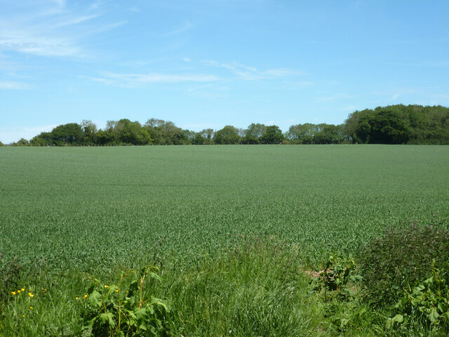
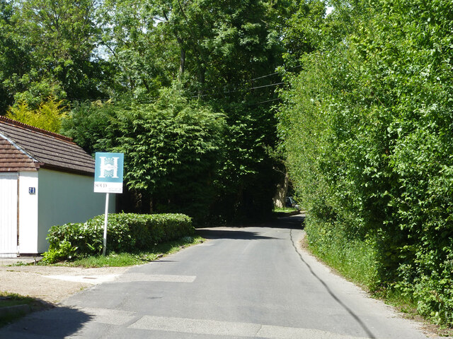
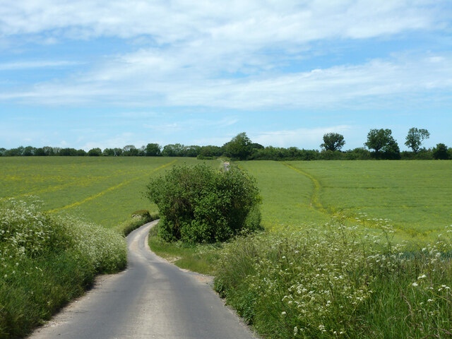
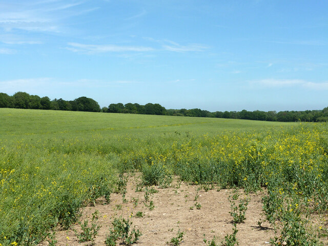
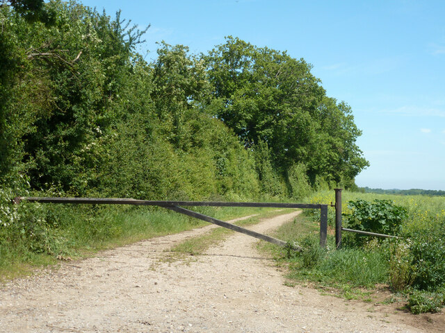
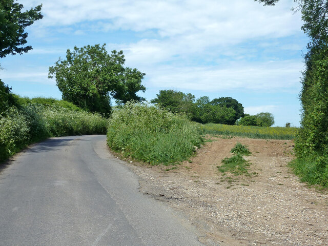
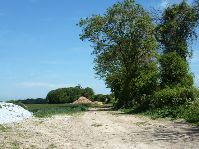
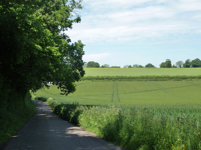
West Court Downs Images
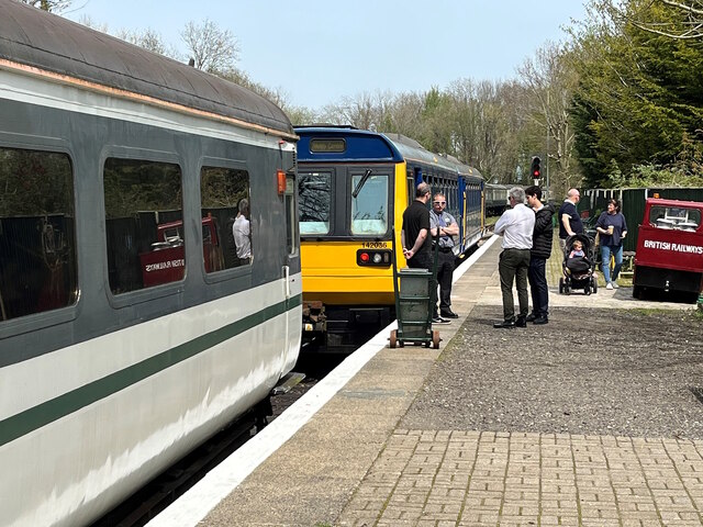
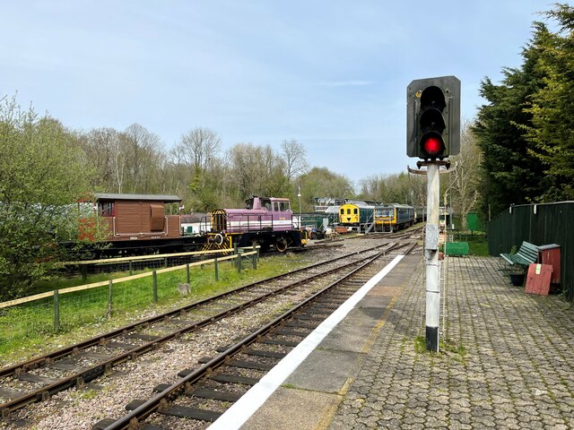
Images are sourced within 2km of 51.192778/1.2211266 or Grid Reference TR2548. Thanks to Geograph Open Source API. All images are credited.
West Court Downs is located at Grid Ref: TR2548 (Lat: 51.192778, Lng: 1.2211266)
Administrative County: Kent
District: Dover
Police Authority: Kent
What 3 Words
///aunts.haggis.meanders. Near Shepherdswell, Kent
Nearby Locations
Related Wikis
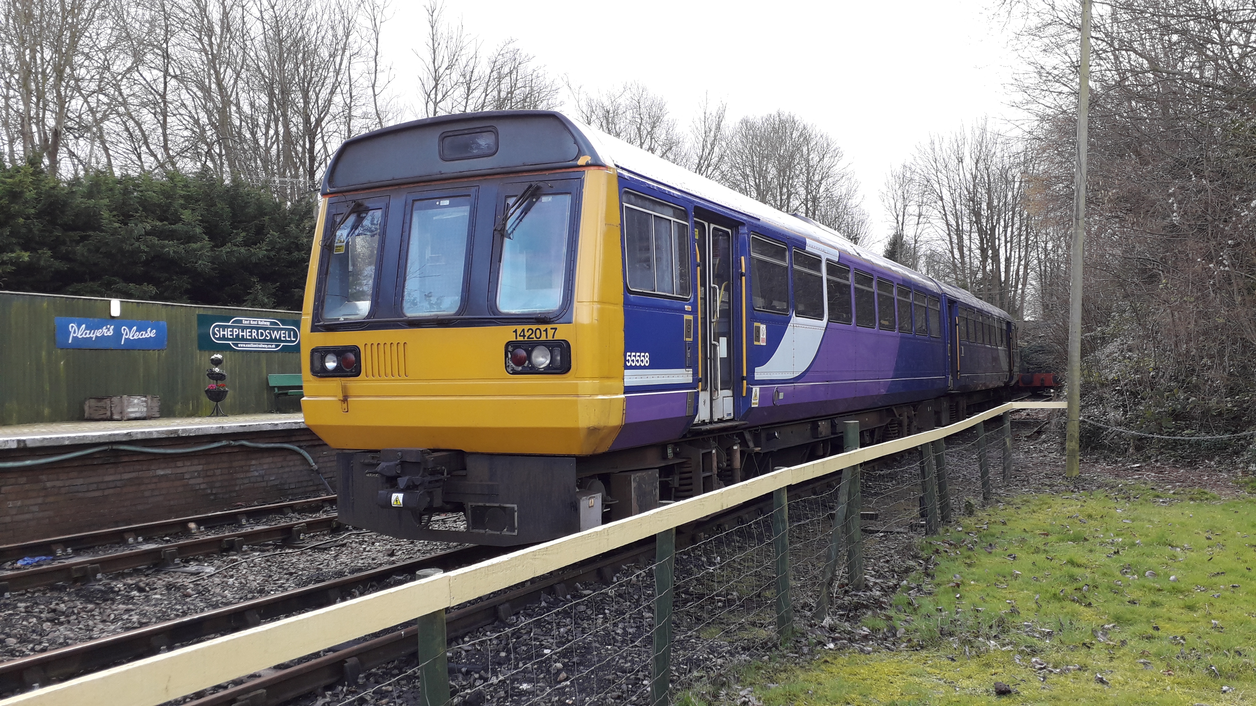
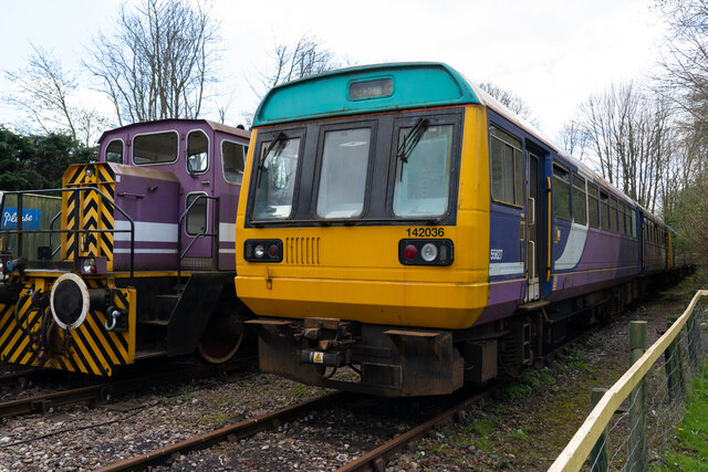
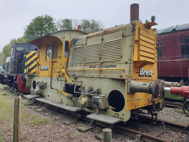
Shepherdswell railway station (EKLR)
Shepherdswell railway station is a station on the East Kent Railway. The southern terminus of the East Kent Light Railway, It opened on 16 October 1916...
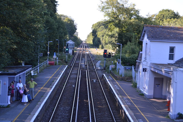
Shepherds Well railway station
Shepherds Well railway station is on the Dover branch of the Chatham Main Line in England, and serves the village of Shepherdswell, Kent. It is 71 miles...

Shepherdswell
Shepherdswell (also Sibertswold) is a village and former civil parish, now in the parish of Shepherdswell with Coldred, in the Dover district of Kent,...

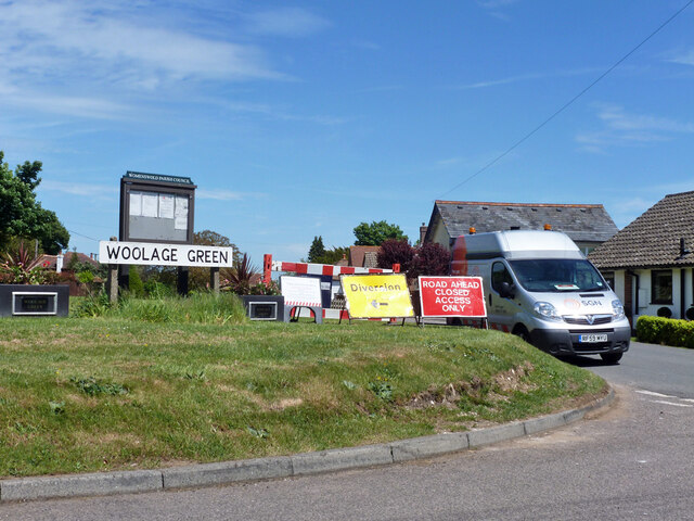
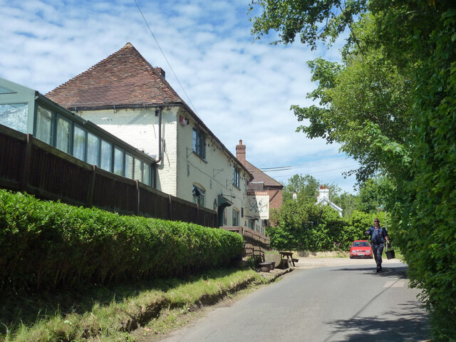
Woolage Green
Woolage Green is a small hamlet, situated about 7 miles (11 km) south-east of Canterbury, Kent, England, 1 mile to the east of the A2 road. Together with...
Nearby Amenities
Located within 500m of 51.192778,1.2211266Have you been to West Court Downs?
Leave your review of West Court Downs below (or comments, questions and feedback).