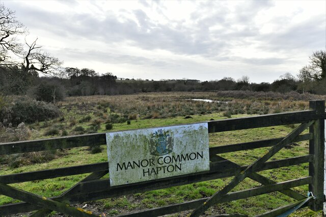
Flordon Common
Downs, Moorland in Norfolk South Norfolk
England
Flordon Common
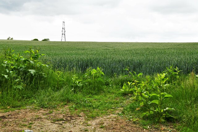
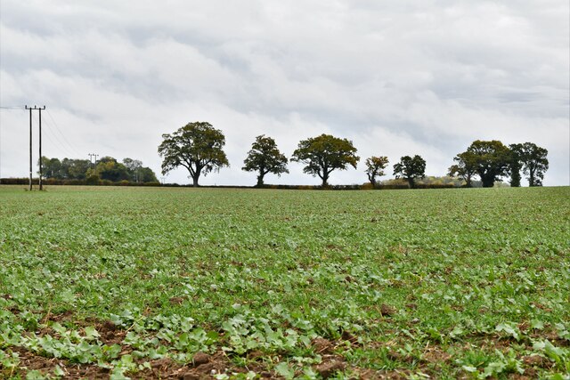
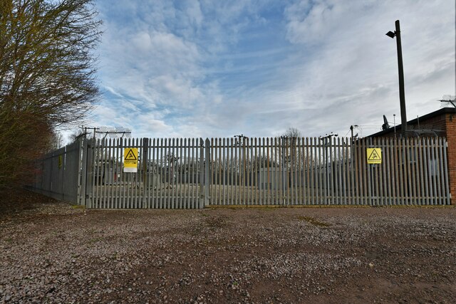
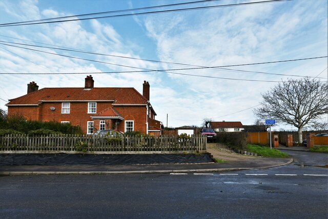
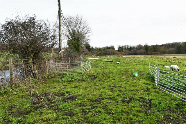
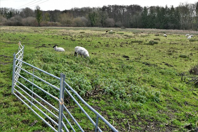
Flordon Common is a picturesque area located in the county of Norfolk, England. Spread across an expanse of rolling hills and moorland, it is a place of natural beauty and tranquility. With an approximate area of 50 hectares, Flordon Common is situated within the larger Norfolk Broads National Park, known for its abundant wildlife and diverse ecosystems.
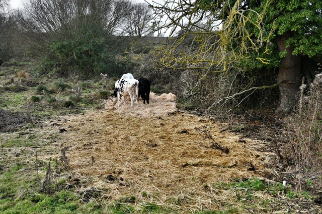
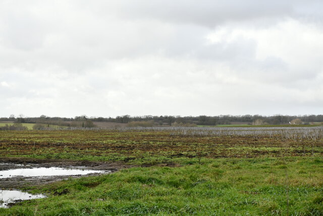
The common is characterized by its gently undulating landscape, adorned with patches of heather, gorse, and bracken. It is home to a variety of flora and fauna, including rare species of birds, butterflies, and orchids. The area's diverse plant life attracts nature enthusiasts, botanists, and birdwatchers from across the country.
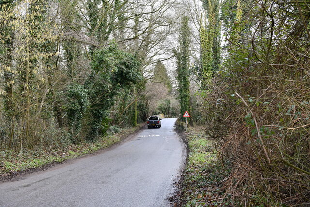
Flordon Common offers a range of recreational opportunities for visitors. The well-maintained footpaths and trails allow for leisurely walks and hikes, providing stunning views of the surrounding countryside. Additionally, the common is a popular spot for picnicking and nature photography.
The common is also of historical significance, with evidence of human activity dating back thousands of years. Archaeological discoveries have revealed the presence of ancient settlements and burial sites, shedding light on the area's rich heritage.
Access to Flordon Common is convenient, with a small car park available for visitors. The common is well-connected to nearby villages and towns, making it an easily accessible destination for both locals and tourists.
Overall, Flordon Common is a cherished natural gem in Norfolk, offering a peaceful retreat and an opportunity to explore the region's diverse wildlife and cultural heritage.
If you have any feedback on the listing, please let us know in the comments section below.
Flordon Common Images
Images are sourced within 2km of 52.529748/1.2145791 or Grid Reference TM1897. Thanks to Geograph Open Source API. All images are credited.


Flordon Common is located at Grid Ref: TM1897 (Lat: 52.529748, Lng: 1.2145791)
Administrative County: Norfolk
District: South Norfolk
Police Authority: Norfolk
What 3 Words
///pink.sharpens.fetching. Near Hethel, Norfolk
Nearby Locations
Related Wikis

Flordon Common
Flordon Common is a 9.9-hectare (24-acre) biological Site of Special Scientific Interest south-east of Wymondham in Norfolk. It is a registered common...

Flordon
Flordon is a village and civil parish in the English county of Norfolk. The village is located 5.4 miles (8.7 km) south-east of Wymondham and 7.6 miles...

Hapton, Norfolk
Hapton is a village and former civil parish, now in the parish of Tharston and Hapton, in the South Norfolk district, in the county of Norfolk, England...

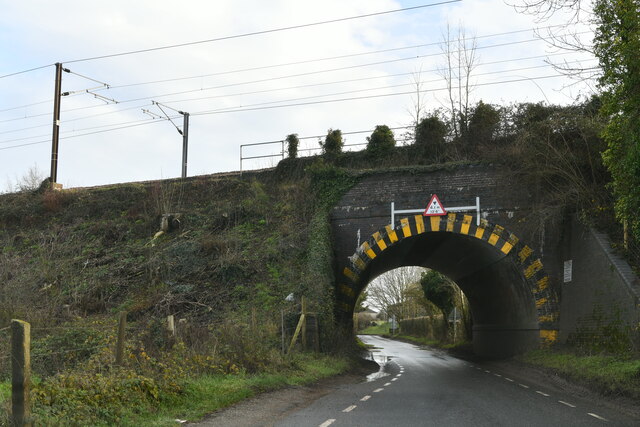
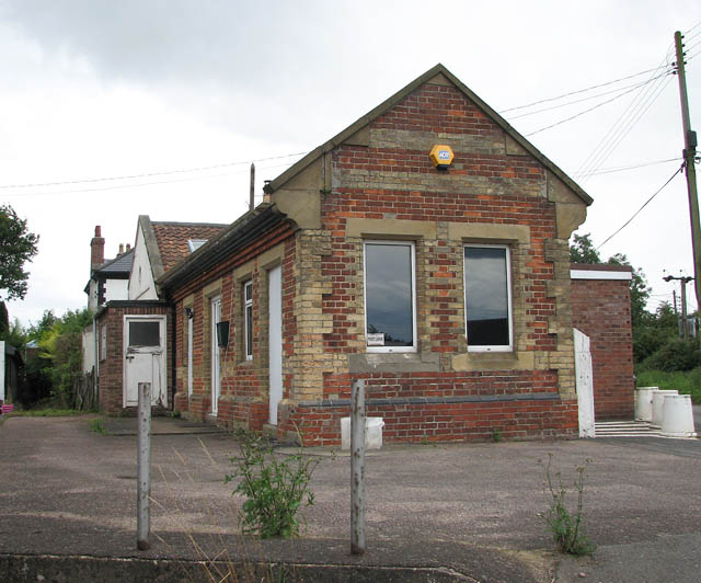
Flordon railway station
Flordon railway station served the village of Flordon, Norfolk. It was opened in 1849, when the line from London Liverpool Street to Norwich Victoria was...

Tharston and Hapton
The civil parish of Tharston and Hapton lies in the south of the county of Norfolk, England. It encompasses the two villages of Tharston and Hapton, covering...

Wreningham
Wreningham is a village and civil parish in the English county of Norfolk. It is situated some 3 miles (4.8 km) south east of Wymondham and 9 miles (14...
Ashwellthorpe railway station
Ashwellthorpe was a railway station that existed in the village of Ashwellthorpe, Norfolk, on a cutoff line between Forncett and Wymondham. This entry...
Hethel
Hethel is a small village in Norfolk, England, approximately five miles (8.0 km) southeast of the market town of Wymondham, and approximately ten miles...
Nearby Amenities
Located within 500m of 52.529748,1.2145791Have you been to Flordon Common?
Leave your review of Flordon Common below (or comments, questions and feedback).