Flordon

Settlement in Norfolk South Norfolk

England

Flordon

Tasburgh: Hill Farm
Tasburgh: Hill Farm Credit: Michael Garlick

Flordon is a small village located in the county of Norfolk, in the eastern part of England. Situated approximately 10 miles south of Norwich, Flordon is nestled amidst the picturesque countryside, boasting a tranquil and idyllic setting. The village is part of the South Norfolk district and falls within the civil parish of Bracon Ash.

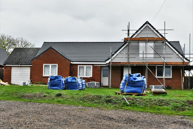
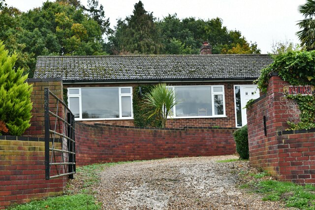
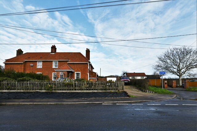
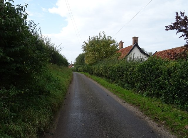
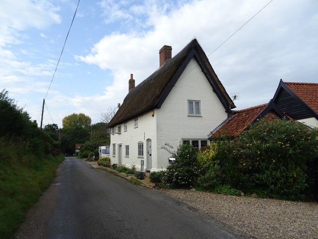
With a population of around 300 residents, Flordon maintains a close-knit community atmosphere. The village is primarily residential, consisting of a mix of traditional and modern houses. The architecture in Flordon is diverse, featuring a blend of historic buildings, such as the 15th-century St. Michael's Church, alongside more contemporary structures.

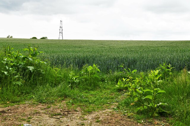
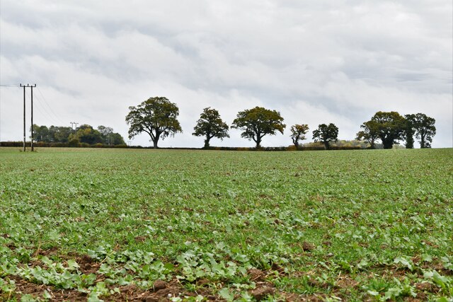
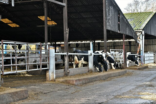
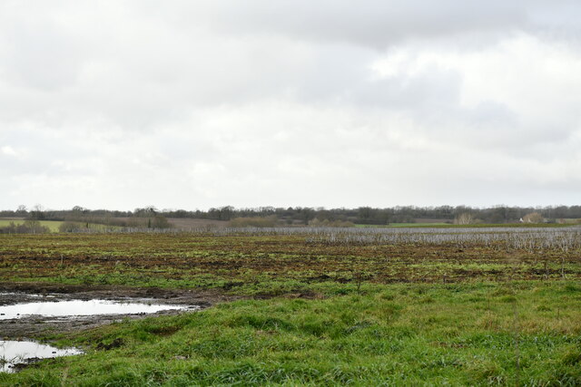
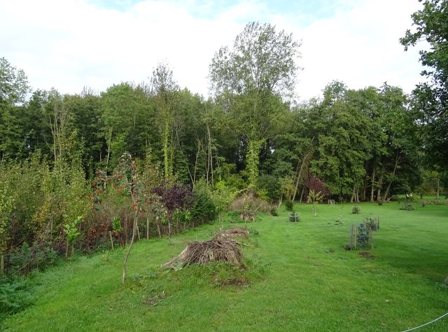
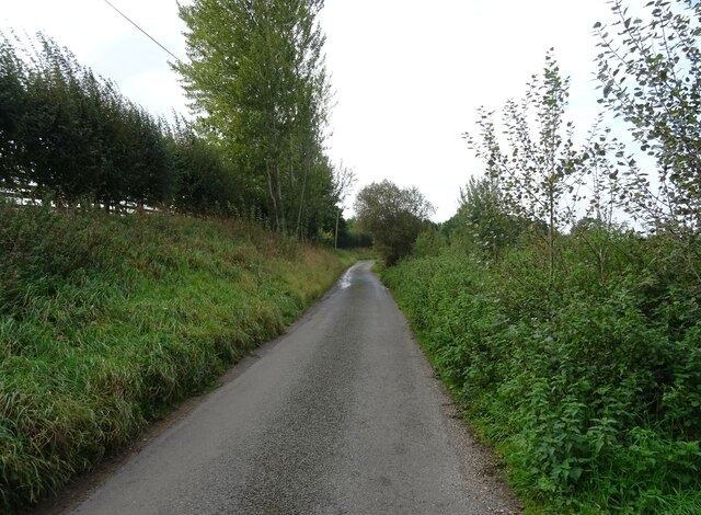
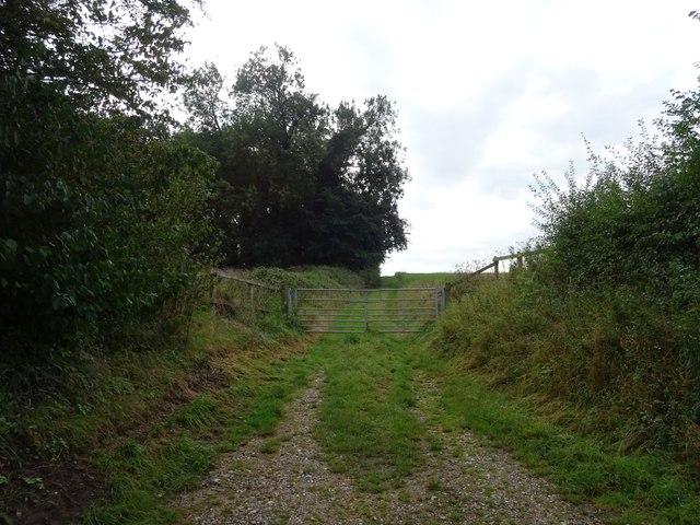
Flordon enjoys a charming rural landscape, characterized by rolling fields, verdant meadows, and patches of woodland. The surrounding countryside provides ample opportunities for outdoor activities like walking, cycling, and exploring nature. The village is also home to a number of farms, contributing to the agricultural heritage of the area.

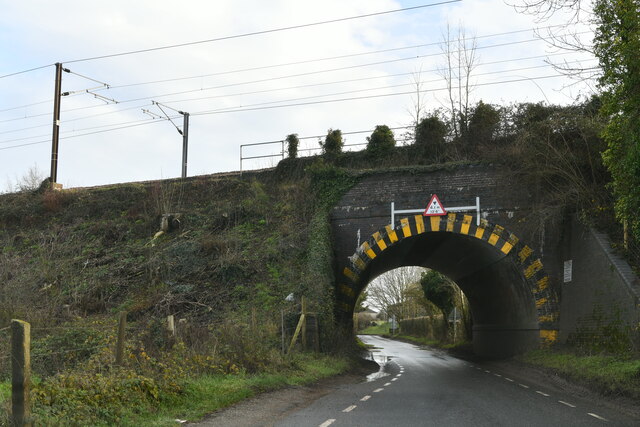
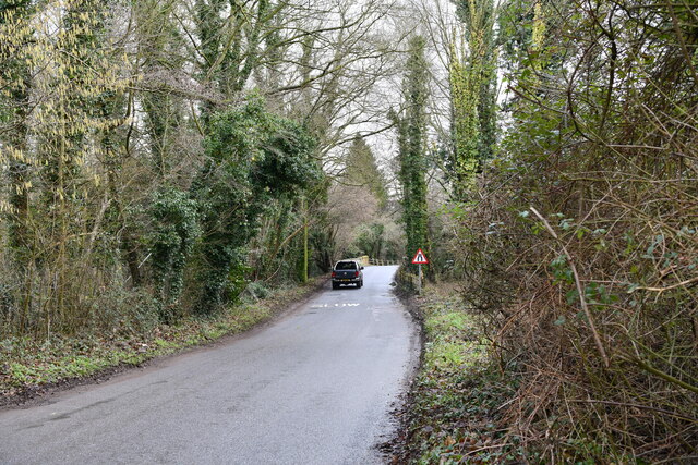
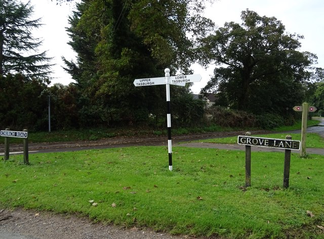
Although Flordon is a small village, it benefits from its proximity to larger towns and cities. The city of Norwich, with its vibrant cultural scene, excellent shopping facilities, and historic landmarks, is within easy reach. The village is well-connected by road, with the A140 passing nearby, providing convenient access to Norwich and other nearby towns.

Overall, Flordon offers a tranquil retreat for those seeking a peaceful countryside lifestyle, while still enjoying the amenities and attractions of larger urban centers nearby.

If you have any feedback on the listing, please let us know in the comments section below.
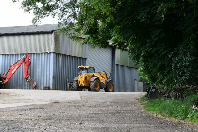
Flordon Images

Images are sourced within 2km of 52.530728/1.226858 or Grid Reference TM1897. Thanks to Geograph Open Source API. All images are credited.

Tasburgh: Hill Farm
Tasburgh: Hill Farm
Tharston: Wheat crop
Flordon: 'Tas Valley View'
Flordon: 'Mandhari'
Flordon: 'Mandhari'
Bracon Ash: Field with growing crop
Hapton: Pumping Station A collection of photographs (just one from each contributor) taken on New Year's Day 2023 by Geographers from all over Great Britain, Ireland and the Isle of Man.

View all the photos on a map here: <a title="https://www.geograph.org.uk/search.php?i=172163615" href="https://www.geograph.org.uk/search.php?i=172163615">Link</a>
Hapton: Pumping Station
A collection of photographs (just one from each contributor) taken on New Year's Day 2023 by Geographers from all over Great Britain, Ireland and the Isle of Man. View all the photos on a map here: Link
Hapton: The Street
Hapton: The Street
Tharston: Railway bridge
Tharston, Valley Farm: Large cow shed
Lower Tasburgh: Looking towards a bridge over the river
Flordon: Muddy field
Garden and woodland
Garden and woodland
Tasburgh Road
Tasburgh Road
Gated track off Saxlingham  Lane
Gated track off Saxlingham Lane
Saxlingham  Lane
Saxlingham Lane
Thatched house on Saxlingham  Lane
Thatched house on Saxlingham Lane
Fingerpost and signs, Tasburgh
Grove Lane, Tasburgh
Show me another place!

Flordon is located at Grid Ref: TM1897 (Lat: 52.530728, Lng: 1.226858)

Administrative County: Norfolk

District: South Norfolk

Police Authority: Norfolk

What 3 Words

///approvals.reveal.catapult. Near Mulbarton, Norfolk

Related Wikis

Flordon

Flordon is a village and civil parish in the English county of Norfolk. The village is located 5.4 miles (8.7 km) south-east of Wymondham and 7.6 miles...

Flordon railway station

Flordon railway station served the village of Flordon, Norfolk. It was opened in 1849, when the line from London Liverpool Street to Norwich Victoria was...

Flordon Common

Flordon Common is a 9.9-hectare (24-acre) biological Site of Special Scientific Interest south-east of Wymondham in Norfolk. It is a registered common...

Hapton, Norfolk

Hapton is a village and former civil parish, now in the parish of Tharston and Hapton, in the South Norfolk district, in the county of Norfolk, England...

Nearby Amenities

Located within 500m of 52.530728,1.226858
Barrier: stile
Bicycle: no
Foot: yes
Material: wood
Stile: stepover
Lat/Long: 52.531956/1.2221733
Flordon
Place: village
Lat/Long: 52.5299411/1.2268771
Public Bookcase
Booth: K6
Covered: booth
Description: Book library/exchange housed in old red phone box.
Disused Amenity: telephone
Man Made: telephone_box
Public Bookcase Type: phone_box
Lat/Long: 52.528618/1.2251016
Post Box
Collection Times: Mo-Fr 15:00; Sa 07:45
Operator: Royal Mail
Post Box Type: lamp
Ref: NR15 1521
Royal Cypher: EIIR
Royal Cypher Wikidata: Q33102113
Lat/Long: 52.5285944/1.2251298
Leisure: playground
Lat/Long: 52.5292917/1.2230618
Flordon
Abandoned Railway: station
Railway: site
Source: OS 1:25k
Wikidata: Q5460500
Wikipedia: en:Flordon railway station
Lat/Long: 52.5272725/1.2311398
Bench
Backrest: yes
Lat/Long: 52.5286249/1.2250343
Give Way
Lat/Long: 52.5291642/1.223936
Barrier: stile
Bicycle: yes
Foot: yes
Material: wood
Stile: stepover
Lat/Long: 52.5303827/1.2228846
Barrier: stile
Bicycle: yes
Foot: yes
Material: wood
Stile: stepover
Lat/Long: 52.5330991/1.22127
Leisure: picnic_table
Lat/Long: 52.529217/1.2229521
Leisure: picnic_table
Lat/Long: 52.5292496/1.2228663
Bench
Backrest: yes
Material: wood
Seats: 3
Lat/Long: 52.5293618/1.2231554
Flordon
Colour: green;yellow
Inscription: 2001
Man Made: village_sign
Material: wood
Start Date: 2009+
Lat/Long: 52.5281525/1.2258464
Power: pole
Lat/Long: 52.5277947/1.2284153
Power: pole
Transformer: distribution
Lat/Long: 52.5279557/1.2258935
Power: pole
Lat/Long: 52.5279663/1.2259176
Power: pole
Lat/Long: 52.5279954/1.227219
Location Transition: yes
Power: pole
Transformer: distribution
Lat/Long: 52.5280815/1.2295733
Bench
Backrest: yes
Colour: brown
Material: wood
Seats: 2
Lat/Long: 52.5281125/1.2259228
Power: pole
Lat/Long: 52.5281965/1.2261428
Power: pole
Lat/Long: 52.5284302/1.2247609
Power: pole
Lat/Long: 52.5288809/1.2235801
Power: pole
Lat/Long: 52.5293462/1.2224584
Power: pole
Lat/Long: 52.5297362/1.2215196
Power: pole
Transformer: distribution
Lat/Long: 52.5306418/1.2220347
Power: pole
Lat/Long: 52.5306867/1.2232779
Power: pole
Lat/Long: 52.5307356/1.2245331
Power: pole
Lat/Long: 52.5307682/1.2254505
Power: pole
Lat/Long: 52.5308433/1.2269498
Power: pole
Transformer: distribution
Lat/Long: 52.5308735/1.2270424
Power: pole
Lat/Long: 52.5317367/1.2284478
Power: pole
Lat/Long: 52.5325231/1.2296495
Power: pole
Lat/Long: 52.53329/1.230827
Power: pole
Lat/Long: 52.5339075/1.2318261
Barrier: stile
Bicycle: no
Foot: yes
Material: wood
Stile: stepover
Lat/Long: 52.5317202/1.2221633
Barrier: stile
Bicycle: no
Foot: yes
Material: wood
Stile: stepover
Lat/Long: 52.531588/1.2221874
Entrance: yes
Lat/Long: 52.5293342/1.2260557
Entrance: main
Lat/Long: 52.5292167/1.2260017
Board Type: map
Description: Public Footpaths in area
Information: board
Tourism: information
Lat/Long: 52.5292942/1.2234796
Give Way
Lat/Long: 52.5290493/1.2241162
Give Way
Lat/Long: 52.5291627/1.2241778
Leisure: playground
Lat/Long: 52.5292147/1.2230699
Parking
Access: customers
Parking: surface
Lat/Long: 52.5294334/1.2265487
Leisure: playground
Lat/Long: 52.5292147/1.2231141
The data included in this document is from www.openstreetmap.org. The data is made available under ODbL.

Have you been to Flordon?

Leave your review of Flordon below (or comments, questions and feedback).