Ardleigh Acres

Downs, Moorland in Essex Tendring

England

Ardleigh Acres

Old Milestone, Old Ipswich Road (Was A12), 240m South of Harts Lane Junction The milestone is located in front of  the PRM Commercials garage on the east side of road. Parish of Ardleigh (Tendring District). Carved stone post, erected by the Chelmsford (Division of Essex First District) turnpike trust in the 19th century. 

Inscription is now largely eroded but the following is discernible on the front face:- Ardleigh

Listed grade II, list entry number:1147792  <span class="nowrap"><a title="https://historicengland.org.uk/listing/the-list/list-entry/1147792" rel="nofollow ugc noopener" href="https://historicengland.org.uk/listing/the-list/list-entry/1147792">Link</a><img style="margin-left:2px;" alt="External link" title="External link - shift click to open in new window" src="https://s1.geograph.org.uk/img/external.png" width="10" height="10"/></span>
Essex HER listed. SMR Number: 15743 <span class="nowrap"><a title="https://www.heritagegateway.org.uk/Gateway/Results_Single.aspx?uid=MEX1009948&resourceID=1001" rel="nofollow ugc noopener" href="https://www.heritagegateway.org.uk/Gateway/Results_Single.aspx?uid=MEX1009948&resourceID=1001">Link</a><img style="margin-left:2px;" alt="External link" title="External link - shift click to open in new window" src="https://s1.geograph.org.uk/img/external.png" width="10" height="10"/></span>

The milestone was found by a Milestone Society member fallen, probably following local flooding, and was re-erected by a working party from the Society for the Protection of Ancient Buildings in August 2021.

Milestone Society National ID: EX_COIP55
Old Milestone, Old Ipswich Road (Was A12), 240m South of Harts Lane Junction Credit: Mike Bardell

Ardleigh Acres is a picturesque village located in the county of Essex, England. Situated in the eastern part of the country, Ardleigh Acres offers residents and visitors a charming rural escape with its scenic landscape and close proximity to the beautiful countryside.

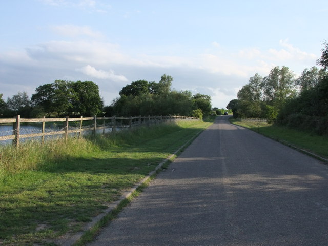
The village is known for its stunning views of the Essex Downs and Moorland, which provide ample opportunities for outdoor activities such as hiking, cycling, and horseback riding. Nature enthusiasts will be delighted by the abundance of wildlife in the area, including various bird species, deer, and rabbits.

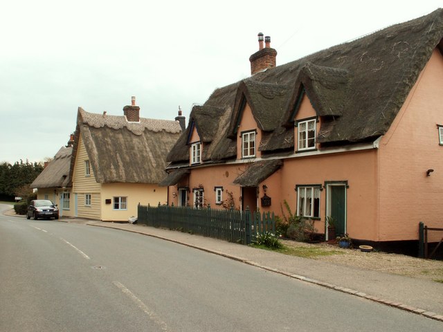
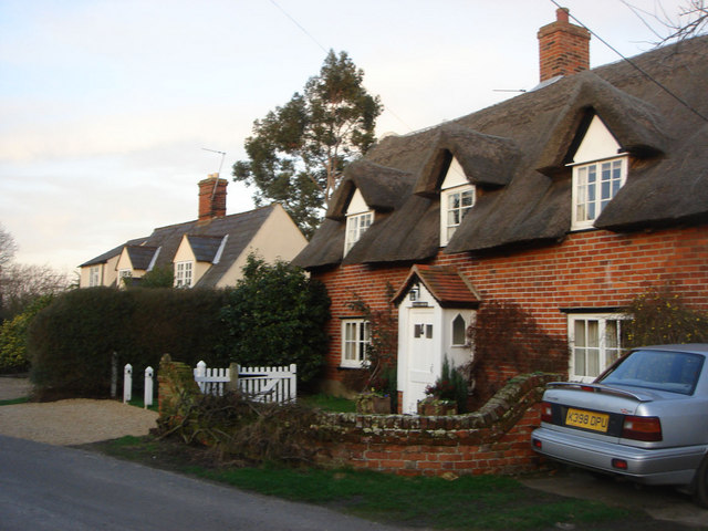
Ardleigh Acres is also home to a close-knit community that takes pride in its rich history and cultural heritage. The village boasts several historical landmarks, including the Grade I listed parish church of St. Mary the Virgin, which dates back to the 12th century. This architectural gem showcases magnificent stained glass windows and intricate stone carvings.

In terms of amenities, Ardleigh Acres offers a range of services to cater to the needs of its residents. The village has a well-stocked grocery store, a post office, and a local pub that serves traditional English cuisine. Additionally, there are several schools in the area, making it an ideal place for families with children.

With its idyllic setting, friendly community, and access to the stunning Essex Downs and Moorland, Ardleigh Acres is a truly enchanting place to live or visit. Whether one seeks tranquility amidst nature or a glimpse into the region's history, this village has something to offer for everyone.

If you have any feedback on the listing, please let us know in the comments section below.

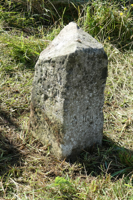
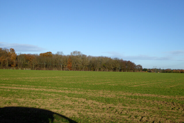
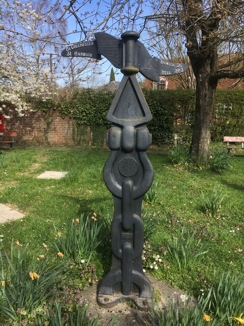
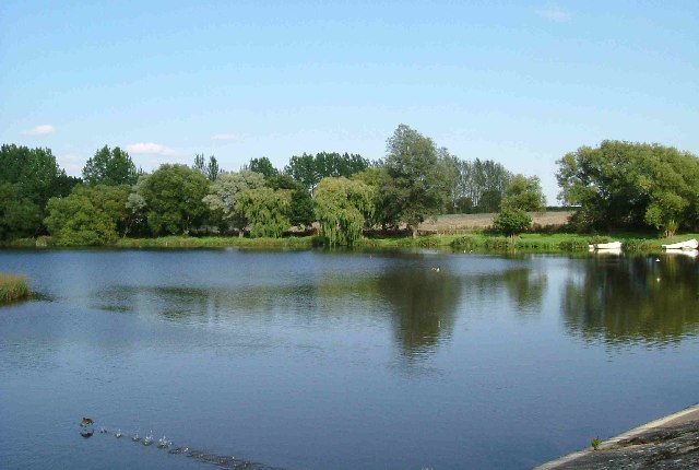
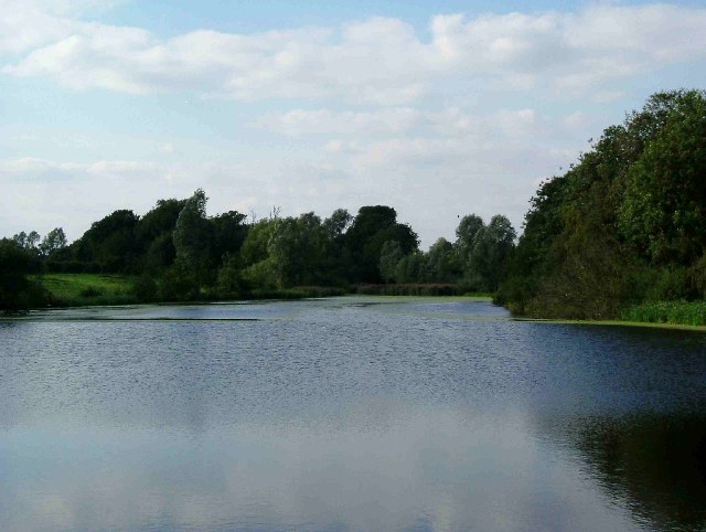
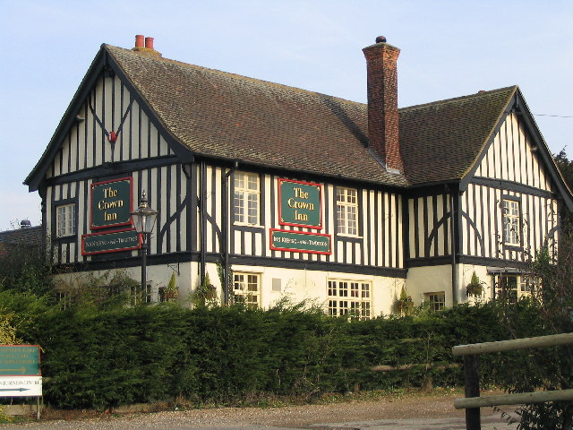
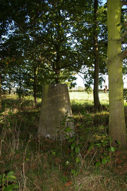
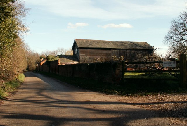
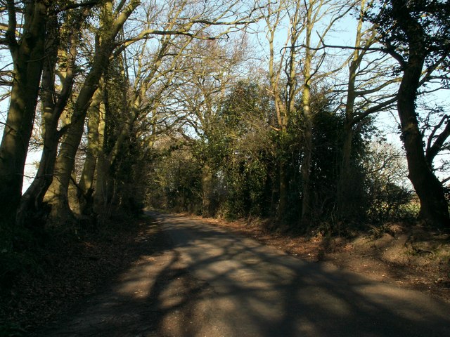
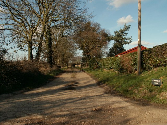
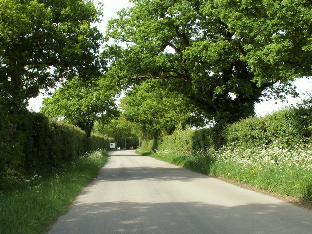
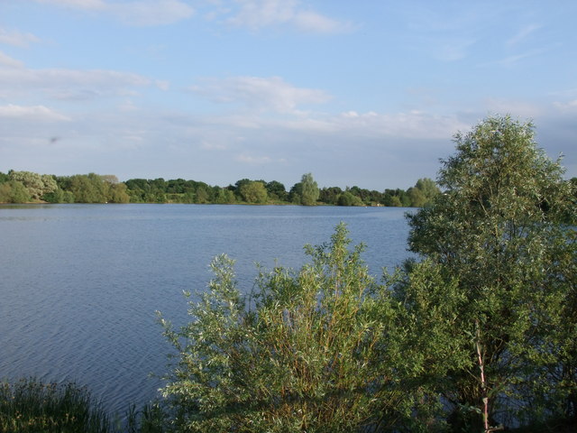
Ardleigh Acres Images

Images are sourced within 2km of 51.936492/0.95862945 or Grid Reference TM0330. Thanks to Geograph Open Source API. All images are credited.

Old Milestone, Old Ipswich Road (Was A12), 240m South of Harts Lane Junction The milestone is located in front of  the PRM Commercials garage on the east side of road. Parish of Ardleigh (Tendring District). Carved stone post, erected by the Chelmsford (Division of Essex First District) turnpike trust in the 19th century. 

Inscription is now largely eroded but the following is discernible on the front face:- Ardleigh

Listed grade II, list entry number:1147792  <span class="nowrap"><a title="https://historicengland.org.uk/listing/the-list/list-entry/1147792" rel="nofollow ugc noopener" href="https://historicengland.org.uk/listing/the-list/list-entry/1147792">Link</a><img style="margin-left:2px;" alt="External link" title="External link - shift click to open in new window" src="https://s1.geograph.org.uk/img/external.png" width="10" height="10"/></span>
Essex HER listed. SMR Number: 15743 <span class="nowrap"><a title="https://www.heritagegateway.org.uk/Gateway/Results_Single.aspx?uid=MEX1009948&resourceID=1001" rel="nofollow ugc noopener" href="https://www.heritagegateway.org.uk/Gateway/Results_Single.aspx?uid=MEX1009948&resourceID=1001">Link</a><img style="margin-left:2px;" alt="External link" title="External link - shift click to open in new window" src="https://s1.geograph.org.uk/img/external.png" width="10" height="10"/></span>

The milestone was found by a Milestone Society member fallen, probably following local flooding, and was re-erected by a working party from the Society for the Protection of Ancient Buildings in August 2021.

Milestone Society National ID: EX_COIP55
Old Milestone, Old Ipswich Road (Was A12), 240m South of Harts Lane Junction
The milestone is located in front of the PRM Commercials garage on the east side of road. Parish of Ardleigh (Tendring District). Carved stone post, erected by the Chelmsford (Division of Essex First District) turnpike trust in the 19th century. Inscription is now largely eroded but the following is discernible on the front face:- Ardleigh Listed grade II, list entry number:1147792 LinkExternal link Essex HER listed. SMR Number: 15743 LinkExternal link The milestone was found by a Milestone Society member fallen, probably following local flooding, and was re-erected by a working party from the Society for the Protection of Ancient Buildings in August 2021. Milestone Society National ID: EX_COIP55
Field north of Birchwood Road
National Cycle Network Milestone Langham Rowe Type National Cycle Network Milepost on Route 1 in Langham, Near Colchester, Essex.

1000 Millennium cast iron mileposts were funded by the Royal Bank of Scotland to mark the creation of the National Cycle Network, and found along the cycles routes through the UK.

There are four different types of posts, "Fossil Tree" by John Mills, "The Cockerel" by Iain McColl, "Rowe Type" by Andrew Rowe, and "Tracks" by David Dudgeon. The four artists are from each country of the UK though all posts can be found in all four countries.
National Cycle Network Milestone Langham
Rowe Type National Cycle Network Milepost on Route 1 in Langham, Near Colchester, Essex. 1000 Millennium cast iron mileposts were funded by the Royal Bank of Scotland to mark the creation of the National Cycle Network, and found along the cycles routes through the UK. There are four different types of posts, "Fossil Tree" by John Mills, "The Cockerel" by Iain McColl, "Rowe Type" by Andrew Rowe, and "Tracks" by David Dudgeon. The four artists are from each country of the UK though all posts can be found in all four countries.
Ardleigh Reservoir from Wick Lane This is a shot of Ardleigh Reservoir north of Colchester taken from near Fountain Farm. The Reservoir was created in the 1970’s when Colchester’s traditional water source at Lexden Springs became inadequate for the expanding town. The picture was taken from a causeway on Wick Lane looking north east(ish).
Ardleigh Reservoir from Wick Lane
This is a shot of Ardleigh Reservoir north of Colchester taken from near Fountain Farm. The Reservoir was created in the 1970’s when Colchester’s traditional water source at Lexden Springs became inadequate for the expanding town. The picture was taken from a causeway on Wick Lane looking north east(ish).
Ardleigh Reservoir near Hillhouse Farm This is a shot of Ardleigh Reservoir north of Colchester taken from near Hillhouse Farm on Lodge Lane this picture is looking north west. See also <a href="https://www.geograph.org.uk/gridref/TM0429">TM0429</a>
Ardleigh Reservoir near Hillhouse Farm
This is a shot of Ardleigh Reservoir north of Colchester taken from near Hillhouse Farm on Lodge Lane this picture is looking north west. See also TM0429
The Crown Inn On Old Ipswich Road near Ardleigh
The Crown Inn
On Old Ipswich Road near Ardleigh
Langham Trig This triangulation point is near Langham Lodge farm. If satellite imaging had not rendered triangulation points obsolete some lumberjacking would be required before this one could be used again!
Langham Trig
This triangulation point is near Langham Lodge farm. If satellite imaging had not rendered triangulation points obsolete some lumberjacking would be required before this one could be used again!
The Morning After This is the A137 Colchester Rd Ardleigh at the Wooden Fender on New Years Morning looking towards the village.
The Morning After
This is the A137 Colchester Rd Ardleigh at the Wooden Fender on New Years Morning looking towards the village.
Part of Gatehouse Farm The road is called Crown Lane North.
Part of Gatehouse Farm
The road is called Crown Lane North.
Lodge Lane, close to Hillhouse Farm
The road to Bloomfield's Farm
Looking north along Dead Lane
Lodge Lane, Ardleigh View at the A137 entrance to Lodge Lane, heading West towards the reservoir.
Lodge Lane, Ardleigh
View at the A137 entrance to Lodge Lane, heading West towards the reservoir.
Milepost by the A137, Colchester Road, Ardleigh The A137 looking north towards the village.
Milepost by the A137, Colchester Road, Ardleigh
The A137 looking north towards the village.
Old Milepost Old milepost on the A.137 near to Ardleigh, Essex. For overall view see <a title="https://www.geograph.org.uk/photo/1716247" href="https://www.geograph.org.uk/photo/1716247">Link</a>
Old Milepost
Old milepost on the A.137 near to Ardleigh, Essex. For overall view see Link
Harwich 17 Old milepost on the A.137 near to Ardleigh, Essex. For close up view see <a title="https://www.geograph.org.uk/photo/1716242" href="https://www.geograph.org.uk/photo/1716242">Link</a>
Harwich 17
Old milepost on the A.137 near to Ardleigh, Essex. For close up view see Link
Ardleigh Reservoir This picture is taken from Lodge Lane. The reservoir is a 30-acre (120,000 m2) lake near Colchester, Essex  constructed in the valley of the Salary Brook. It supplies water both to Anglian Water and to Tendring Hundred Water.
Ardleigh Reservoir
This picture is taken from Lodge Lane. The reservoir is a 30-acre (120,000 m2) lake near Colchester, Essex constructed in the valley of the Salary Brook. It supplies water both to Anglian Water and to Tendring Hundred Water.
Lodge Lane, Ardleigh
Show me another place!

Ardleigh Acres is located at Grid Ref: TM0330 (Lat: 51.936492, Lng: 0.95862945)

Administrative County: Essex

District: Tendring

Police Authority: Essex

What 3 Words

///blip.pelted.react. Near Dedham, Essex

Nearby Locations

Birch Wood Ardleigh Acres

Related Wikis

Langham, Essex

Langham is a small village in the City of Colchester district of Essex, England. == History == There is little evidence of pre-Roman occupation of what...

Lamb Corner

Lamb Corner is a hamlet on the B1029 road, in the civil parish of Dedham in the Colchester district, in the county of Essex, England. Lamb Corner formerly...

Ardleigh Heath

Ardleigh Heath is a hamlet on the B1029 road, in the Tendring District of the county of Essex, England. It is located between Lamb Corner and Dedham (to...

RAF Boxted

Royal Air Force Boxted or more simply RAF Boxted is a former Royal Air Force station located 4 miles (6.4 km) north-northeast of Colchester, Essex England...

Ardleigh

Ardleigh is a village and civil parish in Essex, England. It is situated approximately 4 miles (6 km) northeast from the centre of Colchester and 26 miles...

Ardleigh Reservoir

Ardleigh Reservoir is a 49-hectare (120-acre) lake near Colchester in Essex, England constructed in the valley of the Salary Brook. It supplies water both...

Ardleigh railway station

Ardleigh railway station served the village of Ardleigh in Essex, England. The station was situated on the Great Eastern Main Line. == History == Opened...

Dedham Heath

Dedham Heath, known locally as The Heath, is a hamlet in the civil parish of Dedham, in the Colchester district, in the county of Essex, England. In 2021...

Nearby Amenities

Located within 500m of 51.936492,0.95862945
Gnome Magic Garden
Addr City: Colchester
Addr Housenumber: New Dawn
Addr Postcode: CO7 6HU
Addr Street: Old Ipswich Road
Lat/Long: 51.9374276/0.9526513
Colour: red and white
Marker: aerial
Material: plastic
Utility: gas
Lat/Long: 51.9356026/0.9592466
Colour: red
Marker: post
Material: concrete
Utility: gas
Lat/Long: 51.9355985/0.9592458
The data included in this document is from www.openstreetmap.org. The data is made available under ODbL.

Have you been to Ardleigh Acres?

Leave your review of Ardleigh Acres below (or comments, questions and feedback).