Birch Wood
Wood, Forest in Essex Colchester
England
Birch Wood
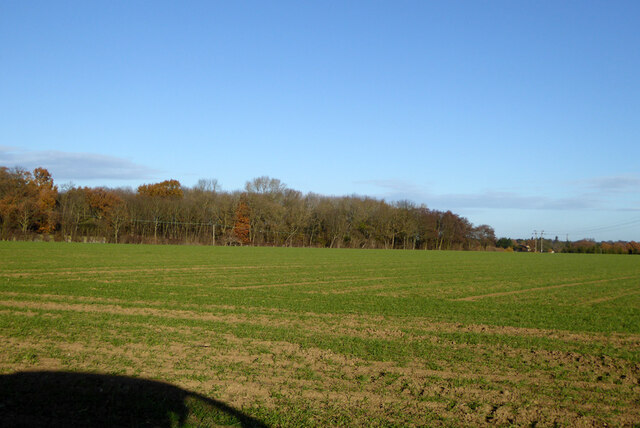
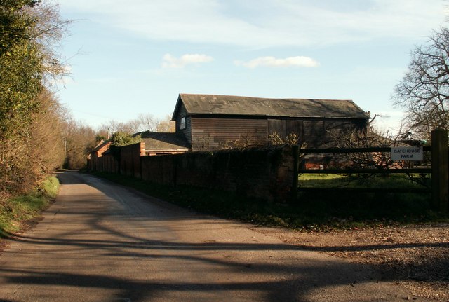
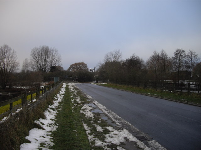
Birch Wood is a picturesque forest located in the county of Essex, England. Stretching across an area of approximately 60 hectares, it is a popular destination for nature enthusiasts and outdoor lovers alike. The wood is predominantly made up of birch trees, which gives it its name and adds to its unique charm.
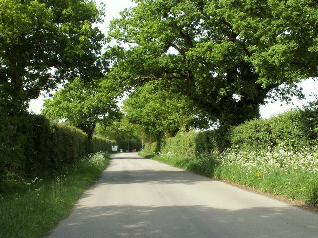
The forest boasts a diverse range of flora and fauna, making it a haven for wildlife. Visitors can expect to encounter an array of bird species, including woodpeckers, thrushes, and owls, as well as small mammals such as squirrels and rabbits. In the spring and summer months, the forest is adorned with a stunning display of wildflowers, creating a vibrant and colorful atmosphere.
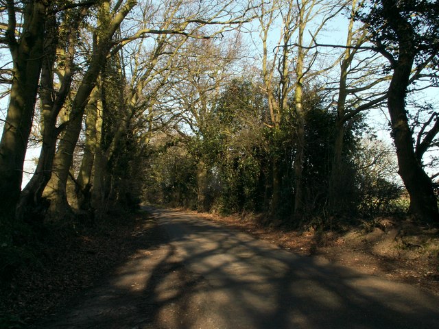
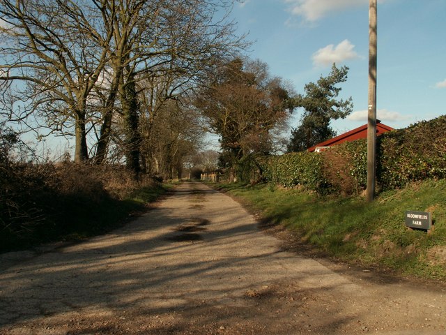
Birch Wood offers a variety of walking trails and paths that allow visitors to explore its natural beauty at their own pace. These trails meander through the forest, providing opportunities to admire the towering birch trees and enjoy the tranquil ambiance. The wood also features a designated picnic area, providing a perfect spot to relax and enjoy a packed lunch amidst the peaceful surroundings.
The forest is easily accessible, with ample parking available nearby. It is conveniently located in close proximity to the town of Epping, making it an ideal destination for day trips or weekend getaways. Whether it's a leisurely stroll through the woods, birdwatching, or simply enjoying the tranquility of nature, Birch Wood offers a delightful escape from the hustle and bustle of everyday life.
If you have any feedback on the listing, please let us know in the comments section below.
Birch Wood Images
Images are sourced within 2km of 51.936511/0.95250508 or Grid Reference TM0330. Thanks to Geograph Open Source API. All images are credited.
Birch Wood is located at Grid Ref: TM0330 (Lat: 51.936511, Lng: 0.95250508)
Administrative County: Essex
District: Colchester
Police Authority: Essex
What 3 Words
///flocking.voters.relegate. Near Boxted, Essex
Nearby Locations
Related Wikis

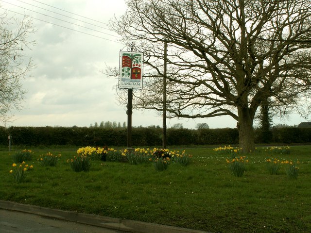
Langham, Essex
Langham is a small village in the City of Colchester district of Essex, England. == History == There is little evidence of pre-Roman occupation of what...

RAF Boxted
Royal Air Force Boxted or more simply RAF Boxted is a former Royal Air Force station located 4 miles (6.4 km) north-northeast of Colchester, Essex England...
Lamb Corner
Lamb Corner is a hamlet on the B1029 road, in the civil parish of Dedham in the Colchester district, in the county of Essex, England. Lamb Corner formerly...

Ardleigh Heath
Ardleigh Heath is a hamlet on the B1029 road, in the Tendring District of the county of Essex, England. It is located between Lamb Corner and Dedham (to...

Ardleigh
Ardleigh is a village and civil parish in Essex, England. It is situated approximately 4 miles (6 km) northeast from the centre of Colchester and 26 miles...

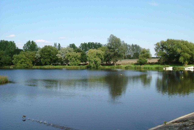
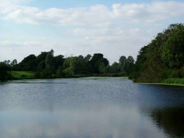
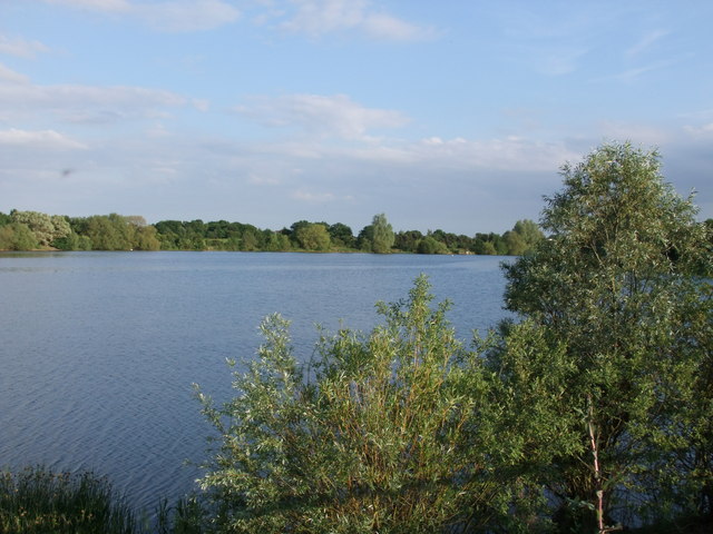
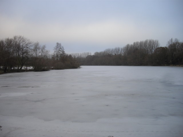
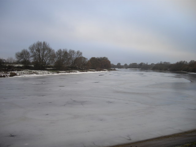
Ardleigh Reservoir
Ardleigh Reservoir is a 49-hectare (120-acre) lake near Colchester in Essex, England constructed in the valley of the Salary Brook. It supplies water both...
Ardleigh railway station
Ardleigh railway station served the village of Ardleigh in Essex, England. The station was situated on the Great Eastern Main Line. == History == Opened...

Bullock Wood
Bullock Wood is a 23.3-hectare (58-acre) biological Site of Special Scientific Interest on the northern outskirts of Colchester in Essex.The site is mature...
Nearby Amenities
Located within 500m of 51.936511,0.95250508Have you been to Birch Wood?
Leave your review of Birch Wood below (or comments, questions and feedback).