Milton Park

Downs, Moorland in Norfolk North Norfolk

England

Milton Park

Field by Fulmodeston Road
Field by Fulmodeston Road Credit: Hugh Venables

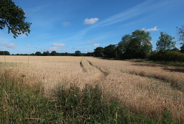
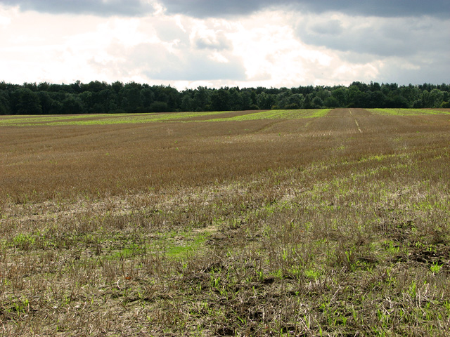
Milton Park, Norfolk, is a picturesque countryside area located in the eastern region of England. It is situated in the heart of Norfolk's Downs and Moorland, offering an idyllic and tranquil setting for nature lovers and outdoor enthusiasts.

Covering an expansive area, Milton Park boasts rolling hills, vast meadows, and dense woodland, providing a diverse range of ecosystems and habitats. The park is renowned for its breathtaking views, with sweeping panoramas that stretch as far as the eye can see.

The park is home to a rich variety of flora and fauna, including numerous species of wildflowers, birds, and small mammals. Walking trails crisscross the landscape, allowing visitors to explore the park's natural beauty and discover its hidden treasures. From leisurely strolls to more challenging hikes, there is something for everyone.

Milton Park also offers excellent opportunities for outdoor activities such as cycling, horseback riding, and picnicking. The park's open spaces provide ample room for recreational pursuits, making it a popular destination for families and individuals alike.

In addition to its natural features, Milton Park is also steeped in history. The area is dotted with ancient archaeological sites, including burial mounds and Roman remains, serving as a reminder of the region's rich heritage.

Overall, Milton Park, Norfolk, is a haven of tranquility and natural beauty. Whether you seek solitude in nature or an active day out, this stunning countryside area offers a delightful escape from the hustle and bustle of everyday life.

If you have any feedback on the listing, please let us know in the comments section below.
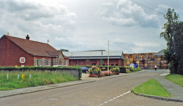
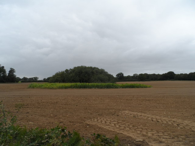
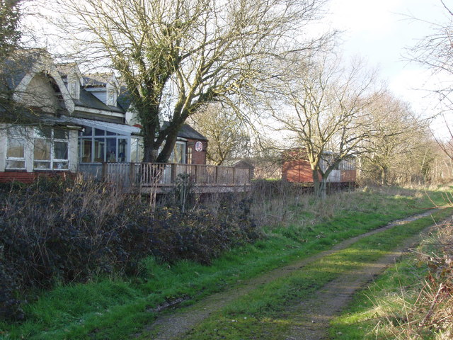
Milton Park Images

Images are sourced within 2km of 52.842031/1.0139991 or Grid Reference TG0331. Thanks to Geograph Open Source API. All images are credited.

Field by Fulmodeston Road
Melton Road past Martins Farm
Belvue Plantation, Briningham Viewed across harvested field west of Belvue Farm.
Belvue Plantation, Briningham
Viewed across harvested field west of Belvue Farm.
The harvest is in Just as well, as thundery clouds threaten to bring rain anytime soon. The woodland seen in the background is Old Limekiln Plantation, to the south of the B1354 road. Belvue Farm can be seen at right.
The harvest is in
Just as well, as thundery clouds threaten to bring rain anytime soon. The woodland seen in the background is Old Limekiln Plantation, to the south of the B1354 road. Belvue Farm can be seen at right.
Water tower, Melton Constable This impressive cast iron water tower was originally built in 1898 to supply water to the railway works and to the village. It remains as a monument to the railway age and Melton Constable's heritage but now stores water for irrigation purposes.
Water tower, Melton Constable
This impressive cast iron water tower was originally built in 1898 to supply water to the railway works and to the village. It remains as a monument to the railway age and Melton Constable's heritage but now stores water for irrigation purposes.
Melton Constable: former Railway Works, 1997 View southward on Ashley Avenue off Peacock Way: the former Works of the M&GN Joint Railway are on the left. (See also <a href="https://www.geograph.org.uk/photo/3785143">TG0433 : Entering Melton Constable, near site of former railway station, 1997</a>).
Melton Constable: former Railway Works, 1997
View southward on Ashley Avenue off Peacock Way: the former Works of the M&GN Joint Railway are on the left. (See also TG0433 : Entering Melton Constable, near site of former railway station, 1997).
Old Milestone The remains of an old milestone set into a wall on the B1110 near to Melton Constable, Norfolk. For overall view see <a title="https://www.geograph.org.uk/photo/3793106" href="https://www.geograph.org.uk/photo/3793106">Link</a>
Old Milestone
The remains of an old milestone set into a wall on the B1110 near to Melton Constable, Norfolk. For overall view see Link
To Dereham 13 The remains of an old milestone set into a wall on the B1110 near to Melton Constable, Norfolk. For closeup view see <a title="https://www.geograph.org.uk/photo/3793104" href="https://www.geograph.org.uk/photo/3793104">Link</a>
To Dereham 13
The remains of an old milestone set into a wall on the B1110 near to Melton Constable, Norfolk. For closeup view see Link
Old Milestone Old milestone on the B110 near to Swanton Movers, Norfolk. For overall view see <a title="https://www.geograph.org.uk/photo/3793113" href="https://www.geograph.org.uk/photo/3793113">Link</a>
Old Milestone
Old milestone on the B110 near to Swanton Movers, Norfolk. For overall view see Link
To Dereham 12 Old milestone on the B110 near to Swanton Novers, Norfolk. For close up view see <a title="https://www.geograph.org.uk/photo/3793110" href="https://www.geograph.org.uk/photo/3793110">Link</a>
To Dereham 12
Old milestone on the B110 near to Swanton Novers, Norfolk. For close up view see Link
Old Milestone Old milestone on the B1110 near to Swanton Novers, Norfolk. For overall view see <a title="https://www.geograph.org.uk/photo/3793123" href="https://www.geograph.org.uk/photo/3793123">Link</a>
Old Milestone
Old milestone on the B1110 near to Swanton Novers, Norfolk. For overall view see Link
St Giles Road A no through road.
St Giles Road
A no through road.
Track past Oakhills Plantation
Entrance road to Melton Hall through Church Plantation A massive pile of logs alongside.
Entrance road to Melton Hall through Church Plantation
A massive pile of logs alongside.
Gated Private road to Melton Hall Through Old Rough plantation.
Gated Private road to Melton Hall
Through Old Rough plantation.
Road to Culpit's Farm
Track and Footpath towards a dismantled railway Heading east.
Track and Footpath towards a dismantled railway
Heading east.
Small copse near Raw Hall Most of the field has been harvested of the maize crop but a small margin around the copse has been left uncut.
Small copse near Raw Hall
Most of the field has been harvested of the maize crop but a small margin around the copse has been left uncut.
Show me another place!

Milton Park is located at Grid Ref: TG0331 (Lat: 52.842031, Lng: 1.0139991)

Administrative County: Norfolk

District: North Norfolk

Police Authority: Norfolk

What 3 Words

///headrest.imparts.childcare. Near Briston, Norfolk

Related Wikis

Swanton Novers

Swanton Novers is a village and a civil parish in the English county of Norfolk. The village is 15.1 miles (24.3 km) west-south-west of Cromer, 23.1 miles...

Melton Constable railway station

Melton Constable was a railway station on the Midland and Great Northern Railway which served the North Norfolk village of Melton Constable from 1882 to...

Hindolveston

Hindolveston is a village and civil parish in the English county of Norfolk. The village is 17.5 miles (28.2 km) west-south-west of Cromer, 20.8 miles...

Hindolvestone railway station

Hindolvestone railway station was in North Norfolk, England. It was part of the Midland and Great Northern Joint Railway branch from Melton Constable to...

Melton Constable

Melton Constable is a village and civil parish in the English county of Norfolk. It covers an area of 6.96 km2 (2.69 sq mi) and had a population of 518...

Swanton Novers Woods

Swanton Novers Woods is an 83-hectare (210-acre) biological Site of Special Scientific Interest east of Fakenham in Norfolk. The site is composed of Swanton...

Corpusty

Corpusty is a village and former civil parish, now in the parish of Corpusty and Saxthorpe, in the North Norfolk district, in the county of Norfolk, England...

Briningham

Briningham is a village and a civil parish in the English county of Norfolk. The village is 9.9 miles east north east of the town of Fakenham, 13.3 miles...

Have you been to Milton Park?

Leave your review of Milton Park below (or comments, questions and feedback).