Elm Fields
Downs, Moorland in Kent Shepway
England
Elm Fields

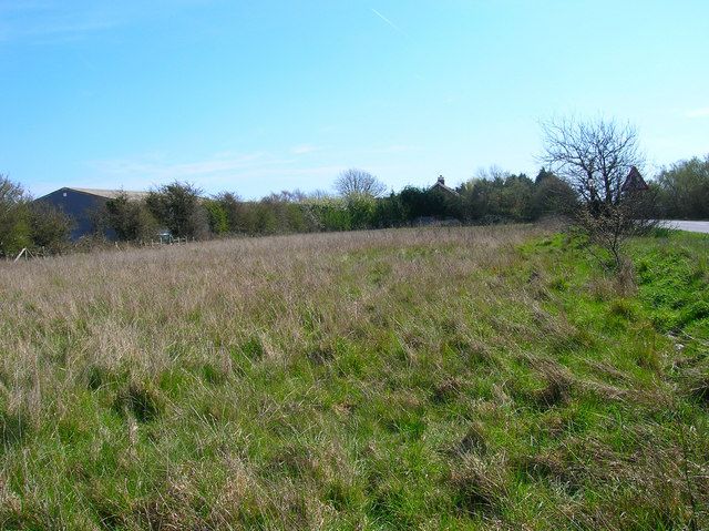
Elm Fields is a picturesque residential area located in Kent, England. Nestled between the rolling hills of the Downs and the vast Moorland, this idyllic neighborhood offers a tranquil and scenic living environment.
The area is characterized by its abundance of elm trees, lending the community its name. These trees provide a beautiful backdrop throughout the year, with their lush green foliage in the spring and summer, and their golden hues in the autumn. The Elm Fields area is renowned for its vibrant and well-maintained gardens, which further contribute to the overall charm and natural beauty of the neighborhood.
The Downs, located to the north of Elm Fields, offer residents breathtaking views of the surrounding countryside. This vast expanse of open land is perfect for leisurely walks, picnics, or outdoor activities. The Downs also boast a variety of wildlife, making it a popular spot for nature enthusiasts.
To the south of Elm Fields lies the Moorland, a protected area known for its diverse ecosystems and rare species of flora and fauna. This conservation area offers residents the opportunity to explore its vast network of walking trails and discover its unique natural beauty.
Elm Fields benefits from excellent transport links, with easy access to nearby towns and cities. The neighborhood also enjoys a close-knit community feel, with a range of amenities including schools, shops, and recreational facilities within easy reach.
Overall, Elm Fields, Kent (Downs, Moorland) offers a peaceful and picturesque setting for residents, with its stunning natural surroundings and strong sense of community.
If you have any feedback on the listing, please let us know in the comments section below.
Elm Fields Images
Images are sourced within 2km of 50.987261/0.89192031 or Grid Reference TR0324. Thanks to Geograph Open Source API. All images are credited.


Elm Fields is located at Grid Ref: TR0324 (Lat: 50.987261, Lng: 0.89192031)
Administrative County: Kent
District: Shepway
Police Authority: Kent
What 3 Words
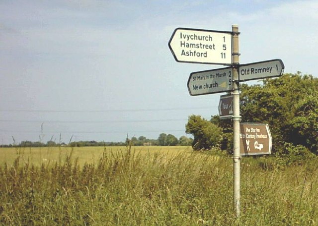
///mammoths.spurned.skis. Near New Romney, Kent
Nearby Locations
Related Wikis

Old Romney
Old Romney is a village and civil parish in the Folkestone and Hythe district of Kent, England. The village, as its name suggests, is the original site...
St Clement's Church, Old Romney
St Clement's Church is an Anglican church, in the village of Old Romney, Kent, England. It is a Grade I listed building. The church is dedicated to Saint...

Hope Church of All Saints
The Hope Church of All Saints is a ruined church building on Romney Marsh, about 1 mile (1.6 km) north-west of New Romney, in Kent, England, near the road...

RAF Lydd
Royal Air Force Lydd or more simply RAF Lydd is a former Royal Air Force Advanced Landing Ground located 2 miles (3.2 km) north-west of Lydd, Kent and...
Rhee Wall
The Rhee Wall is a former watercourse in Romney Marsh in Kent. It is 7.5 miles (12.1 km) long and runs from Appledore, on the north-western edge of Romney...

Ivychurch
Ivychurch is a village and civil parish in the Folkestone and Hythe district of Kent, England. The village is located on the Romney Marsh, three miles...
RAF Brenzett
Royal Air Force Brenzett or more simply RAF Brenzett was a Royal Air Force Advanced Landing Ground close to the village of Brenzett near Romney Marsh...
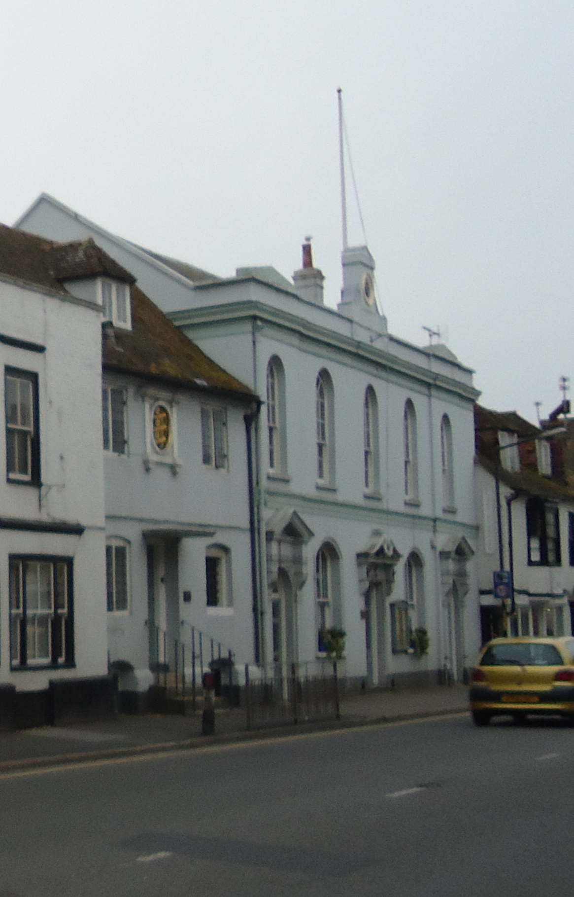
New Romney Town Hall
New Romney Town Hall is a municipal structure in the High Street, New Romney, Kent, England. The structure, which is the meeting place of New Romney Town...
Nearby Amenities
Located within 500m of 50.987261,0.89192031Have you been to Elm Fields?
Leave your review of Elm Fields below (or comments, questions and feedback).