Eccles Heath
Downs, Moorland in Norfolk Breckland
England
Eccles Heath

Eccles Heath is a small village located in the county of Norfolk, England. Situated in the heart of the county, Eccles Heath is surrounded by picturesque downs and moorland landscapes. The village is known for its tranquil and rural setting, offering residents and visitors an escape from the bustling city life.
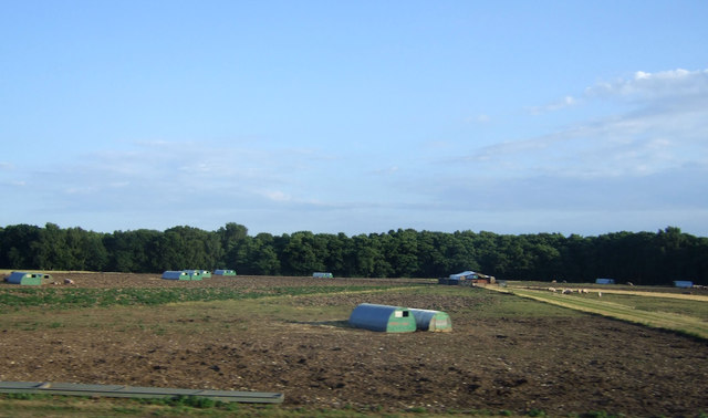
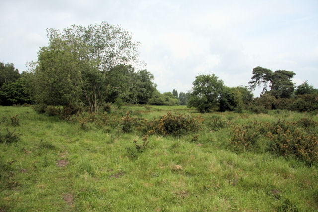
The downs of Eccles Heath are characterized by their rolling hills, flourishing with vibrant greenery and scattered with wildflowers during the summer months. The area is popular among hikers and nature enthusiasts, providing numerous walking trails and breathtaking views of the surrounding countryside. The moorland, on the other hand, showcases a unique ecosystem with its heathland vegetation and diverse wildlife.
Despite its small size, Eccles Heath has a strong sense of community. The village is home to a close-knit population, with residents often engaging in local events and activities. The village hall serves as a hub for community gatherings, hosting various social events throughout the year.
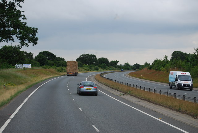
Eccles Heath is not heavily developed, with only a handful of amenities available within the village. However, nearby towns and cities provide residents with easy access to essential services and facilities. The village benefits from its proximity to larger towns such as Wymondham and Norwich, where residents can find a wider range of shopping, educational, and healthcare facilities.
In summary, Eccles Heath offers a peaceful and idyllic setting, surrounded by stunning downs and moorland. Its close community and proximity to nearby towns make it an attractive place to reside for those seeking a rural lifestyle with convenient access to urban amenities.
If you have any feedback on the listing, please let us know in the comments section below.
Eccles Heath Images
Images are sourced within 2km of 52.460973/0.96127009 or Grid Reference TM0188. Thanks to Geograph Open Source API. All images are credited.


Eccles Heath is located at Grid Ref: TM0188 (Lat: 52.460973, Lng: 0.96127009)
Administrative County: Norfolk
District: Breckland
Police Authority: Norfolk
What 3 Words
///handicaps.interests.vipers. Near East Harling, Norfolk
Nearby Locations
Related Wikis

Snetterton Circuit
Snetterton Circuit is a motor racing course in Norfolk, England, originally opened in 1953. Owned by Jonathan Palmer's MotorSport Vision organisation,...
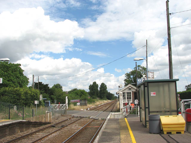
Eccles Road railway station
Eccles Road railway station is on the Breckland line in the east of England, serving the villages of Eccles, Quidenham and Wilby in Norfolk. The line runs...
East Harling Common
East Harling Common is a 15.1-hectare (37-acre) biological Site of Special Scientific Interest east of Thetford in Norfolk.The importance of this site...

Quidenham
Quidenham is a small rural village and civil parish in the English county of Norfolk. It covers an area of 22.51 km2 (8.69 sq mi) and had a population...
Nearby Amenities
Located within 500m of 52.460973,0.96127009Have you been to Eccles Heath?
Leave your review of Eccles Heath below (or comments, questions and feedback).