Burgh Common

Downs, Moorland in Norfolk Breckland

England

Burgh Common

North Elmham: Water buffalo in Black Water
North Elmham: Water buffalo in Black Water Credit: Michael Garlick

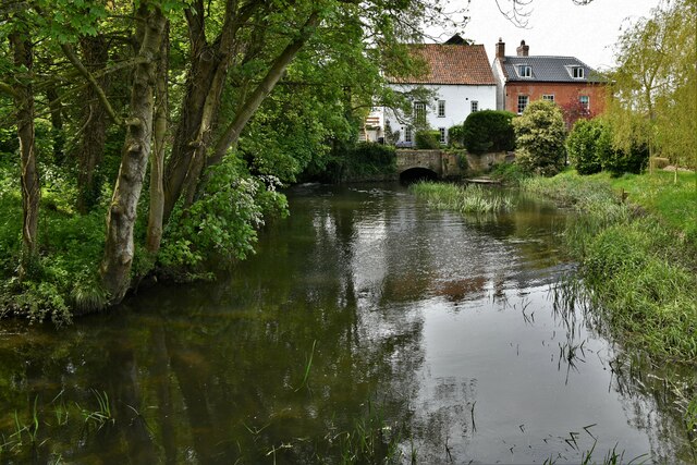
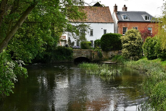
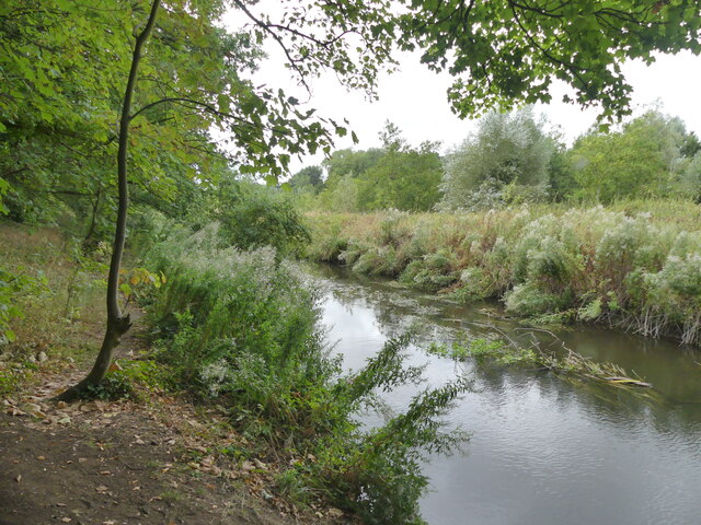
Burgh Common is a picturesque area located in Norfolk, England. Situated between the villages of Burgh St. Peter and Wheatacre, it covers a vast expanse of land encompassing rolling downs and serene moorland. The common is a popular destination for nature enthusiasts and outdoor enthusiasts due to its rich biodiversity and stunning landscapes.

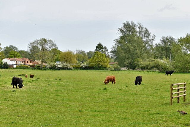
The downs of Burgh Common are characterized by gently sloping hills covered in a patchwork of vibrant wildflowers and grasses. These downs provide breathtaking panoramic views of the surrounding countryside, making it an ideal spot for photographers and hikers alike. The area is also home to a variety of wildlife, including birds, rabbits, and deer, which can often be spotted roaming freely.

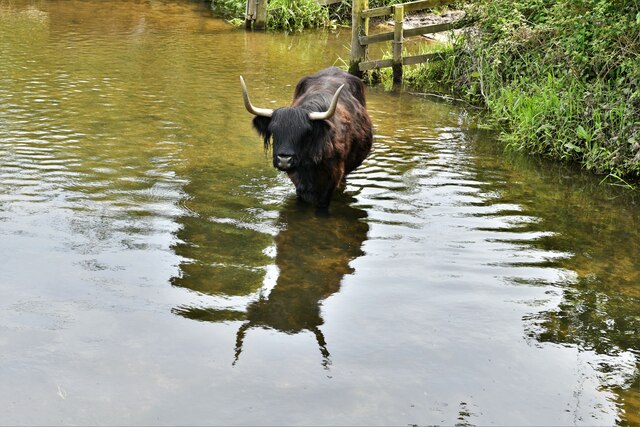
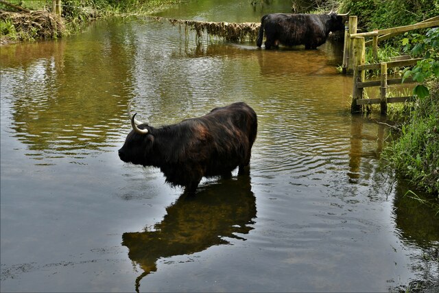
The moorland section of Burgh Common is a unique ecosystem characterized by heather, gorse, and bracken. This section provides a stark contrast to the downs with its rugged terrain and a more rugged appearance. Moorland birds such as skylarks and stonechats can often be heard and seen in this area, adding to its natural charm.

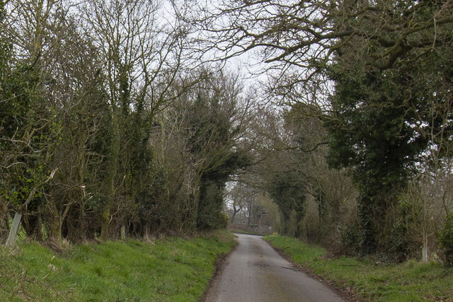
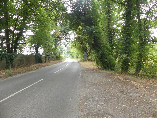
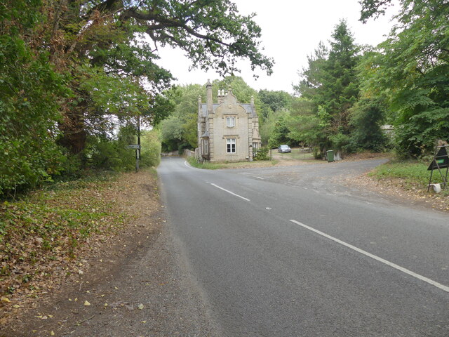
Visitors to Burgh Common can enjoy a range of activities, including walking, birdwatching, and picnicking. The common is crisscrossed by public footpaths and trails, making it easily accessible for visitors of all ages and abilities. Additionally, there are designated parking areas available for those who wish to explore the common by car.

Overall, Burgh Common offers a tranquil and idyllic escape from the hustle and bustle of everyday life. Its diverse landscapes and abundant wildlife make it a haven for nature lovers and a must-visit destination in Norfolk.

If you have any feedback on the listing, please let us know in the comments section below.
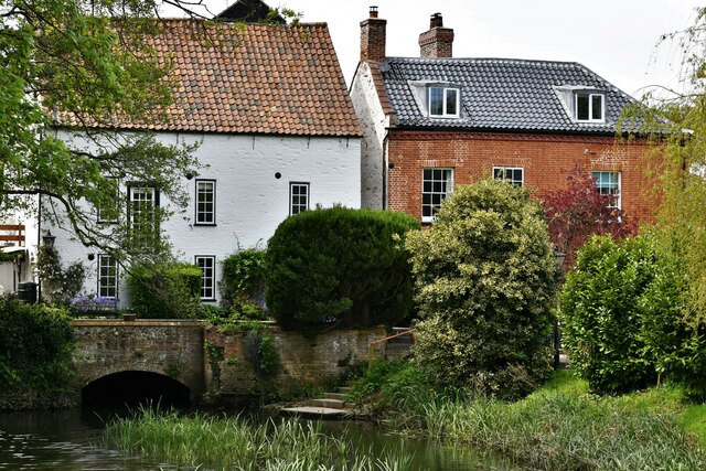
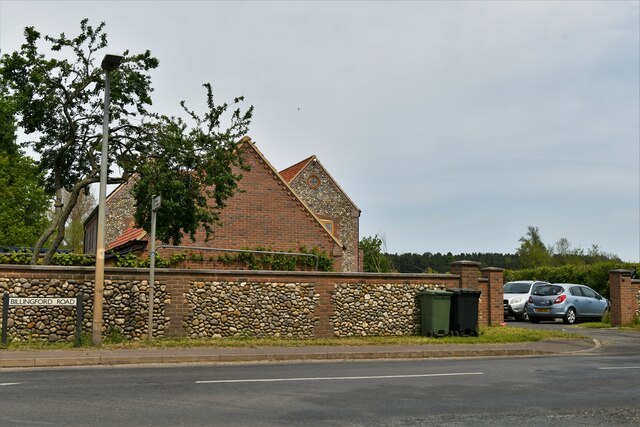
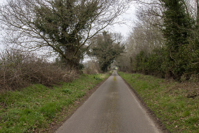
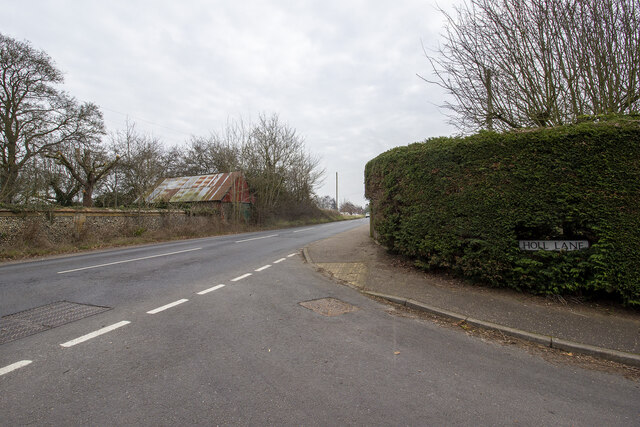
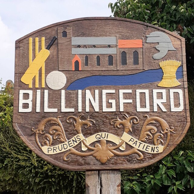
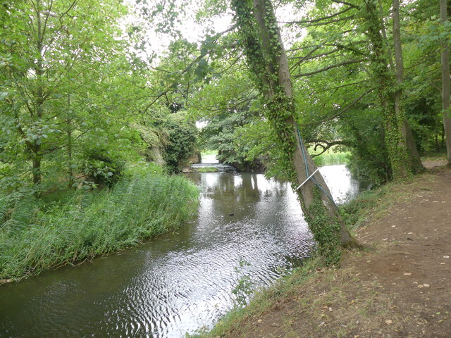
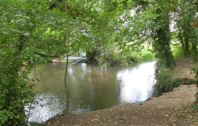
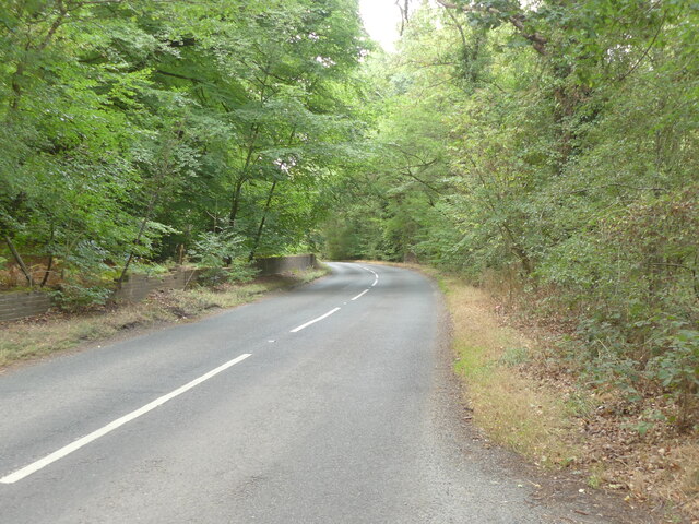
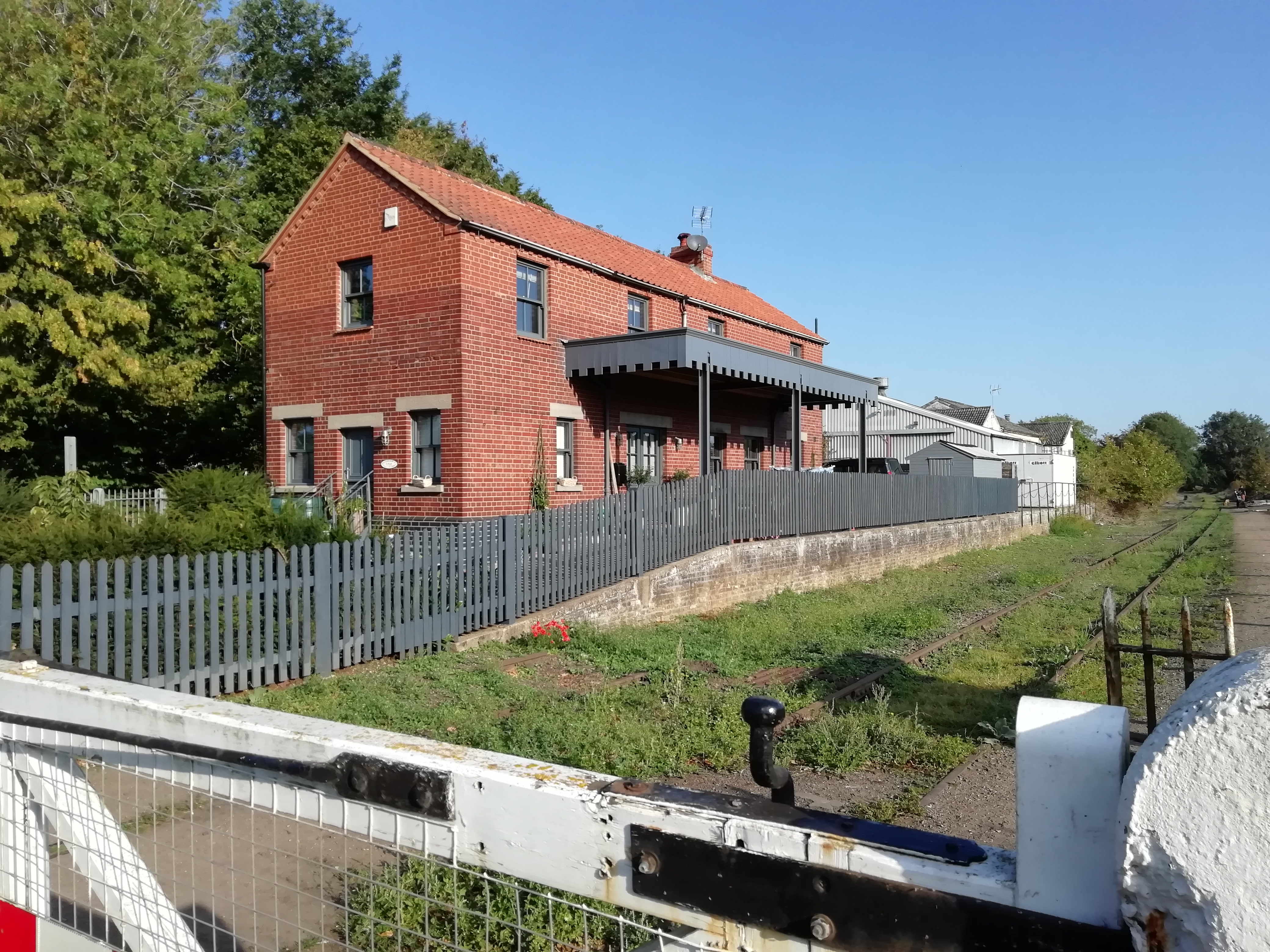
Burgh Common Images

Images are sourced within 2km of 52.73417/0.97988166 or Grid Reference TG0119. Thanks to Geograph Open Source API. All images are credited.

North Elmham: Water buffalo in Black Water
North Elmham: Mill house
North Elmham: Water buffalo grazing
North Elmham: The Worthing Road, Billingford Road junction
Slad Lane Slad Lane with junction with Dereham Road in the distance.
Slad Lane
Slad Lane with junction with Dereham Road in the distance.
Slad Lane Hedgerows and hedgerow trees on Slad Lane
Slad Lane
Hedgerows and hedgerow trees on Slad Lane
Holl Lane Junction of Holl Lane and The Street
Holl Lane
Junction of Holl Lane and The Street
Billingford St Peter's village sign, repainted The church of St Peter is prominent, top centre with village cricket and football clubs recognised. A Roman helmet tells of the Roman settlement just outside the village centre. The River Wensum is represented by the blue below the church. The wheat-sheaf is symbolic of the agricultural heritage of the parish. Below the name is a motto which translated means “The prudent man is patient”. It is a reference to the Lord of the Manor which was purchased from Thomas Curson of Bylaugh in 1606 by Sir Edward Coke, Earl of Leicester, of Holkham Hall.
Billingford St Peter's village sign, repainted
The church of St Peter is prominent, top centre with village cricket and football clubs recognised. A Roman helmet tells of the Roman settlement just outside the village centre. The River Wensum is represented by the blue below the church. The wheat-sheaf is symbolic of the agricultural heritage of the parish. Below the name is a motto which translated means “The prudent man is patient”. It is a reference to the Lord of the Manor which was purchased from Thomas Curson of Bylaugh in 1606 by Sir Edward Coke, Earl of Leicester, of Holkham Hall.
Weir on River Wensum
Southerly view of River Wensum near Mill Street
Mill Street in Dereham direction
Dereham Road junction with Bylaugh Road
Bylaugh Road
Bylaugh Road
Confluence of stream and river
Bend in Dereham Road
Show me another place!

Burgh Common is located at Grid Ref: TG0119 (Lat: 52.73417, Lng: 0.97988166)

Administrative County: Norfolk

District: Breckland

Police Authority: Norfolk

What 3 Words

///gadgets.incurring.success. Near North Elmham, Norfolk

Related Wikis

Nearby Amenities

Located within 500m of 52.73417,0.97988166
Barrier: fence
Lat/Long: 52.7321396/0.9833072
The data included in this document is from www.openstreetmap.org. The data is made available under ODbL.

Have you been to Burgh Common?

Leave your review of Burgh Common below (or comments, questions and feedback).