Langham Moor

Downs, Moorland in Essex Colchester

England

Langham Moor

Church Street Boxted Looking towards Parsonage Lane.
Church Street Boxted Credit: Glyn Baker

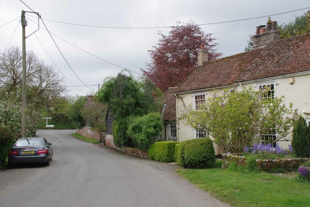
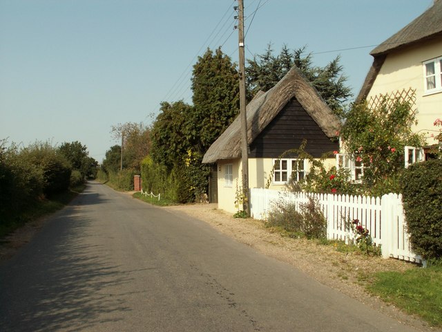
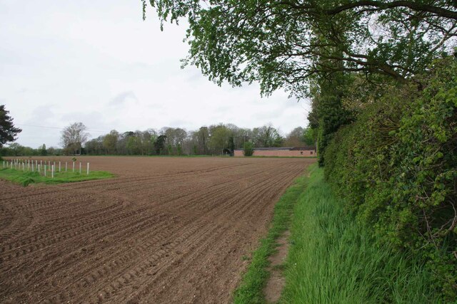
Langham Moor is a vast area of natural beauty located in Essex, England. Covering an expansive area of downs and moorland, it offers a diverse range of habitats and scenic landscapes for visitors to explore. The moor is situated near the village of Langham, just a few miles north of the historic town of Colchester.

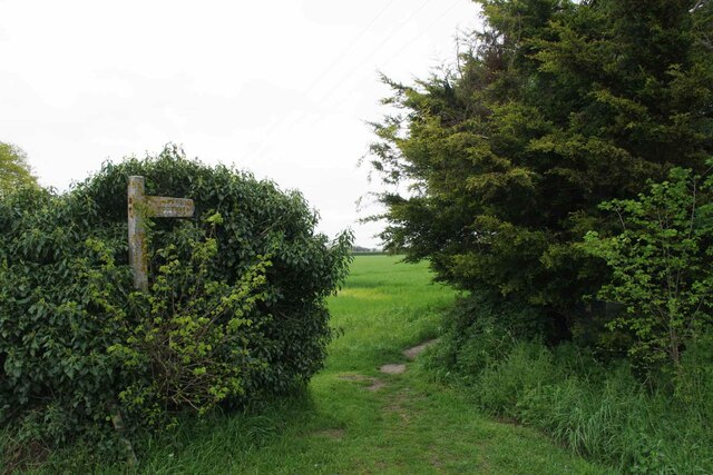
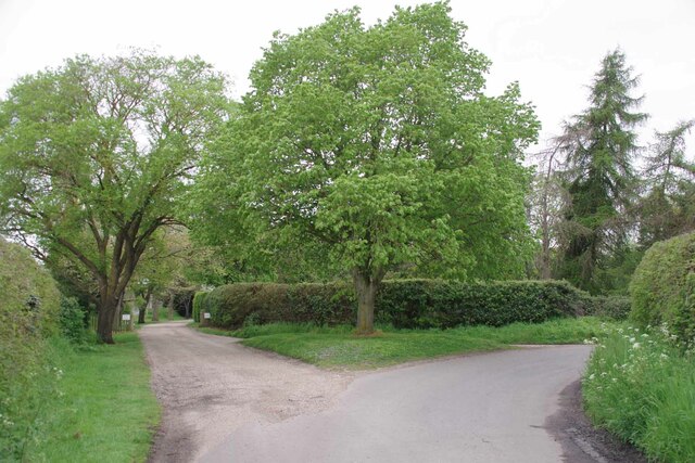
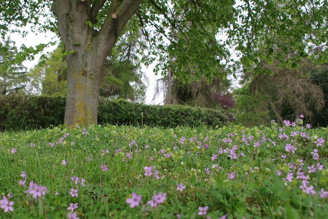
The moorland itself is characterized by wide open spaces, adorned with a patchwork of heather, bracken, and gorse. This creates a stunning tapestry of colors, particularly during the summer months when the heather blooms in vibrant purples. The area also features several small ponds, which act as important breeding grounds for a variety of wildlife.

Langham Moor boasts a rich biodiversity, making it a haven for nature enthusiasts. It is home to a wide range of bird species, including skylarks, nightjars, and kestrels, providing ample opportunities for birdwatching. The moor is also inhabited by several mammal species, such as rabbits, foxes, and badgers. Visitors may even catch a glimpse of the rare and elusive adder, a venomous snake that resides in the area.

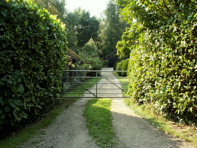
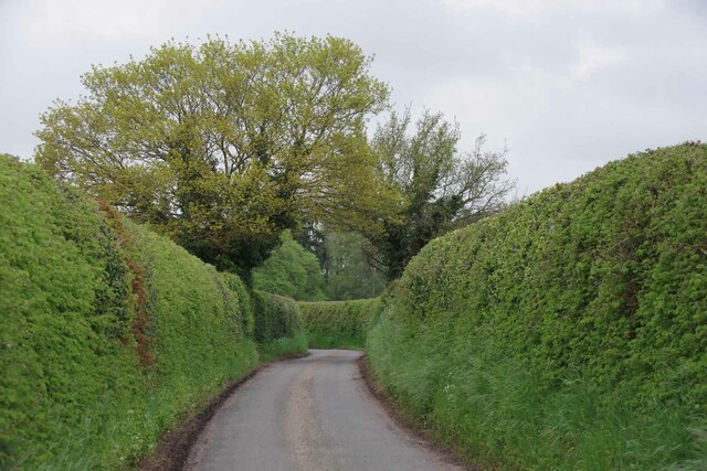
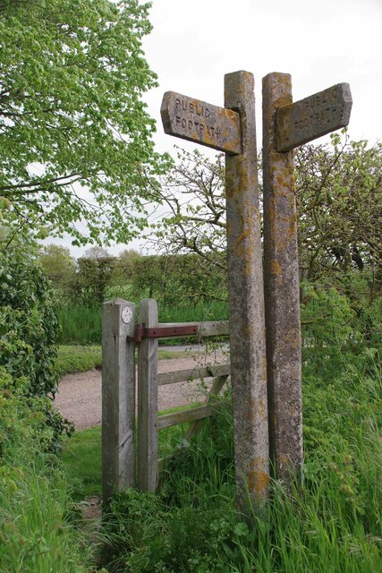
For those seeking outdoor activities, Langham Moor offers various walking trails that wind through its picturesque landscape. These paths provide stunning views of the surrounding countryside, making it an ideal destination for hikers and nature lovers alike. Additionally, the moorland is a popular spot for picnics and family outings, providing a tranquil setting for relaxation and recreation.

Overall, Langham Moor in Essex is a breathtaking natural treasure, offering a diverse range of flora, fauna, and landscapes for visitors to enjoy.

If you have any feedback on the listing, please let us know in the comments section below.
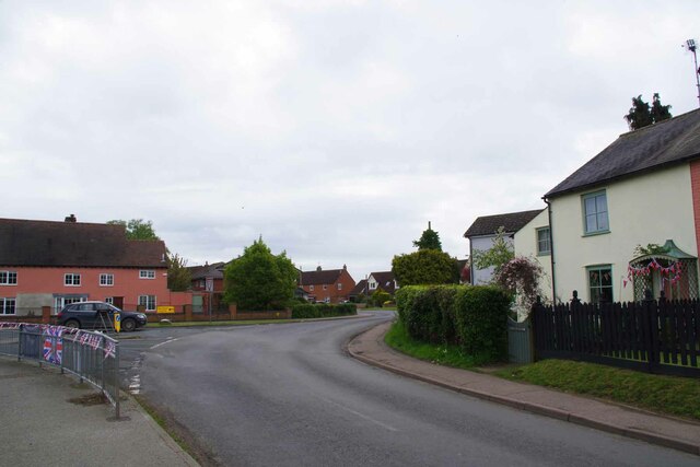
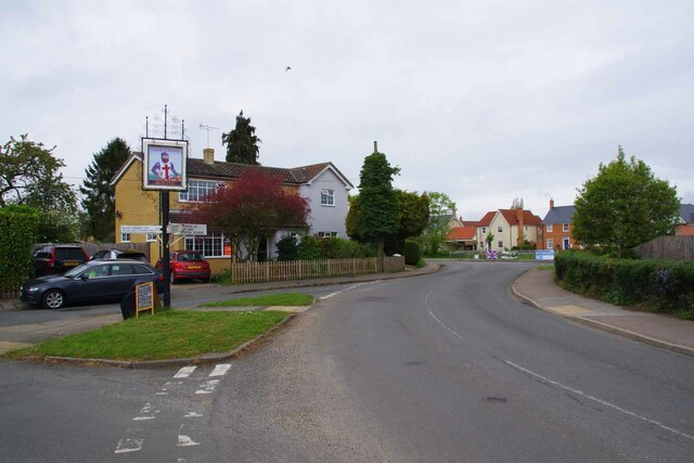
Langham Moor Images

Images are sourced within 2km of 51.946759/0.92570157 or Grid Reference TM0131. Thanks to Geograph Open Source API. All images are credited.

Church Street Boxted Looking towards Parsonage Lane.
Church Street Boxted
Looking towards Parsonage Lane.
Ellis Road, Boxted, Essex This country road leads to Workhouse Hill.
Ellis Road, Boxted, Essex
This country road leads to Workhouse Hill.
Brook Farm, Boxted, Essex
National Cycle Network Milestone Langham Rowe Type National Cycle Network Milepost on Route 1 in Langham, Near Colchester, Essex.

1000 Millennium cast iron mileposts were funded by the Royal Bank of Scotland to mark the creation of the National Cycle Network, and found along the cycles routes through the UK.

There are four different types of posts, "Fossil Tree" by John Mills, "The Cockerel" by Iain McColl, "Rowe Type" by Andrew Rowe, and "Tracks" by David Dudgeon. The four artists are from each country of the UK though all posts can be found in all four countries.
National Cycle Network Milestone Langham
Rowe Type National Cycle Network Milepost on Route 1 in Langham, Near Colchester, Essex. 1000 Millennium cast iron mileposts were funded by the Royal Bank of Scotland to mark the creation of the National Cycle Network, and found along the cycles routes through the UK. There are four different types of posts, "Fossil Tree" by John Mills, "The Cockerel" by Iain McColl, "Rowe Type" by Andrew Rowe, and "Tracks" by David Dudgeon. The four artists are from each country of the UK though all posts can be found in all four countries.
Bunting and Boxted Cross Coronation morning in Boxted Cross
Bunting and Boxted Cross
Coronation morning in Boxted Cross
The Village Sign at Boxted Cross Taken on coronation morning.
The Village Sign at Boxted Cross
Taken on coronation morning.
Boxted Footpath # 18 This path heads for Hill Farm.
Boxted Footpath # 18
This path heads for Hill Farm.
High Hedges Near Rivers Hall
The Way to Rivers Hall The right hand fork is Sky Hall Hill. The flush of pink under the tree 
is <a href="https://www.geograph.org.uk/photo/7477285">TM0133 : Red Stem Stork's-Bill</a>
The Way to Rivers Hall
The right hand fork is Sky Hall Hill. The flush of pink under the tree is TM0133 : Red Stem Stork's-Bill
Red Stem Stork's-Bill Well that is what my phone app told me!
Red Stem Stork's-Bill
Well that is what my phone app told me!
Boxted Footpath #46 Part of the Essex Way.
Boxted Footpath #46
Part of the Essex Way.
The Essex Way A brace of concrete fingerposts at a footpath junction.
The Essex Way
A brace of concrete fingerposts at a footpath junction.
Footpath Junction at Rivers Hall This is the Junction with Boxted Footpath #46 (The Essex Way) and Boxted footpath 10 to Boxted Cross.
Footpath Junction at Rivers Hall
This is the Junction with Boxted Footpath #46 (The Essex Way) and Boxted footpath 10 to Boxted Cross.
Park Lane, Langham Looking west, with the entrance to Park Lane Farm on the right. Also there, beside the flag pole, is the RAF Boxted Memorial which can be seen as it was 17 years ago by contributor Glyn Baker <a href="https://www.geograph.org.uk/photo/252033">TM0131 : Boxted Memorial</a> and 4 years ago by Adrian S Pye <a href="https://www.geograph.org.uk/photo/6325918">TM0131 : RAF Boxted memorial</a>
Park Lane, Langham
Looking west, with the entrance to Park Lane Farm on the right. Also there, beside the flag pole, is the RAF Boxted Memorial which can be seen as it was 17 years ago by contributor Glyn Baker TM0131 : Boxted Memorial and 4 years ago by Adrian S Pye TM0131 : RAF Boxted memorial
Church Street, Boxted At the junction with Church Road & Parsonage Hill
Church Street, Boxted
At the junction with Church Road & Parsonage Hill
Church Street sign On Church Street at the junction with Church Road & Parsonage Hill
Church Street sign
On Church Street at the junction with Church Road & Parsonage Hill
Roadsign on Church Road At the junction with Church Street & Parsonage Hill
Roadsign on Church Road
At the junction with Church Street & Parsonage Hill
Grassland near Pond House, Boxted
Show me another place!

Langham Moor is located at Grid Ref: TM0131 (Lat: 51.946759, Lng: 0.92570157)

Administrative County: Essex

District: Colchester

Police Authority: Essex

What 3 Words

///dupe.solve.harmless. Near Boxted, Essex

Nearby Locations

Langham Moor Langham Moor

Related Wikis

RAF Boxted

Royal Air Force Boxted or more simply RAF Boxted is a former Royal Air Force station located 4 miles (6.4 km) north-northeast of Colchester, Essex England...

Langham, Essex

Langham is a small village in the City of Colchester district of Essex, England. == History == There is little evidence of pre-Roman occupation of what...

Workhouse Hill

Workhouse Hill is a hamlet in the Colchester district, in the English county of Essex. == References == Sources

Boxted House

Boxted House is a Grade II listed house in Boxted, Essex. It was built in about 1830. It was home to the advertising executive Bobby Bevan (1901-1974)...

Nearby Amenities

Located within 500m of 51.946759,0.92570157
Bus Stop
Chapel Road
Naptan AtcoCode: 1500IM20Y2
Naptan NaptanCode: esxjmgtg
Naptan Verified: no
Public Transport: platform
Source: naptan_import
Lat/Long: 51.9447727/0.931859
The data included in this document is from www.openstreetmap.org. The data is made available under ODbL.

Have you been to Langham Moor?

Leave your review of Langham Moor below (or comments, questions and feedback).