Brettenham Park
Downs, Moorland in Suffolk Babergh
England
Brettenham Park
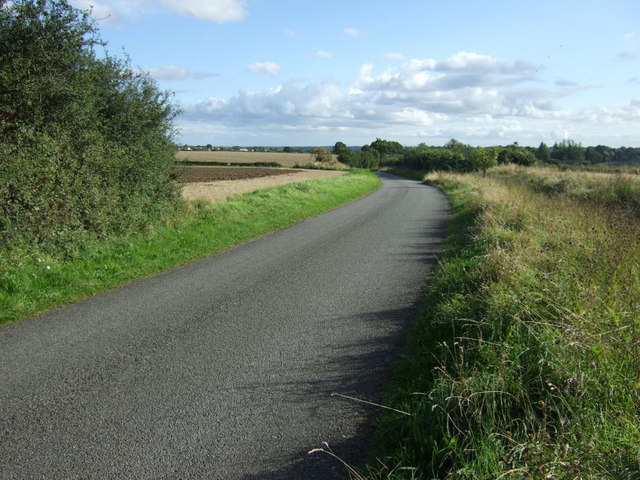
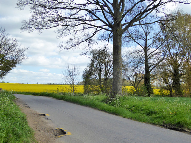
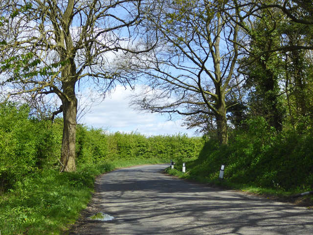
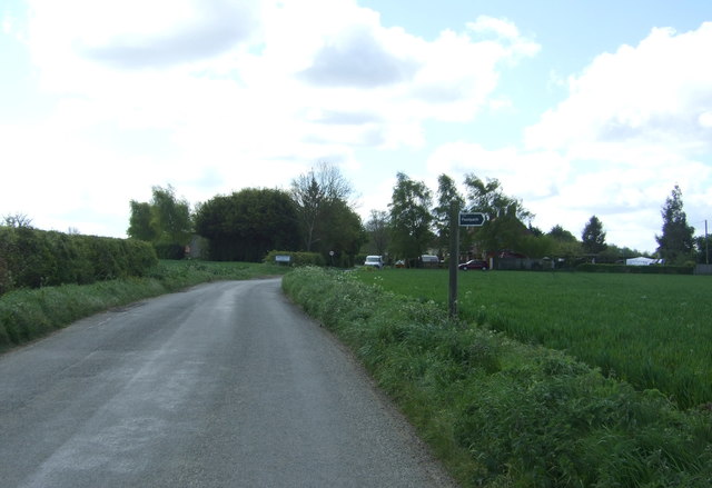
Brettenham Park is a scenic and expansive natural area located in the county of Suffolk, in the eastern part of England. This park is known for its diverse landscapes, encompassing downs and moorland, offering visitors a wide range of outdoor activities and stunning views.
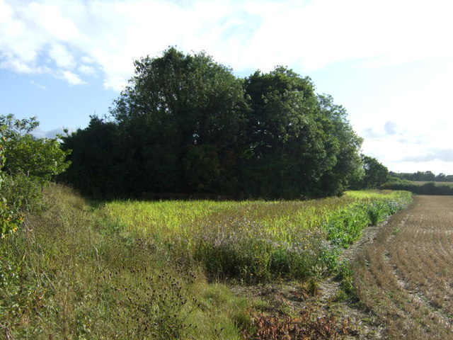
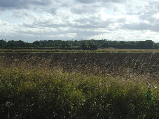
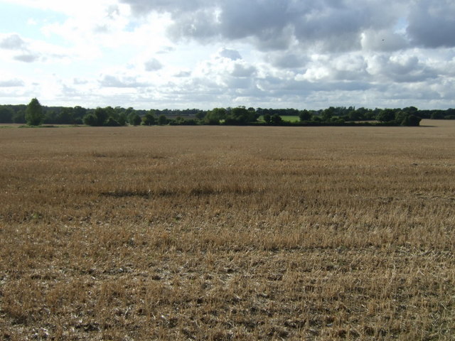
Covering an area of approximately 500 acres, Brettenham Park is home to a variety of flora and fauna, making it a popular spot for nature enthusiasts. The downs, characterized by rolling hills and grasslands, provide ample opportunities for hiking, walking, and picnicking. Visitors can enjoy the fresh air and peaceful surroundings while exploring the numerous walking trails that crisscross the park. The views from the downs are particularly breathtaking, offering panoramic vistas of the surrounding countryside.
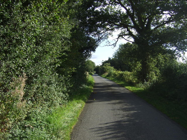
In addition to the downs, Brettenham Park also features moorland areas, which are characterized by heather-covered hillsides and bogs. This unique habitat provides a haven for a range of plant and animal species, including birds, insects, and small mammals. Visitors can observe these creatures in their natural habitat and learn about the importance of preserving such ecosystems.
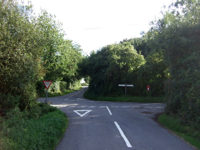
The park is easily accessible, with ample parking facilities and well-maintained paths. There are also designated picnic areas and benches for visitors to relax and enjoy the surroundings. Whether it's a leisurely stroll or a more adventurous hike, Brettenham Park offers something for everyone seeking a connection with nature in the heart of Suffolk.
If you have any feedback on the listing, please let us know in the comments section below.
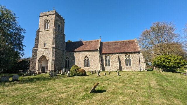
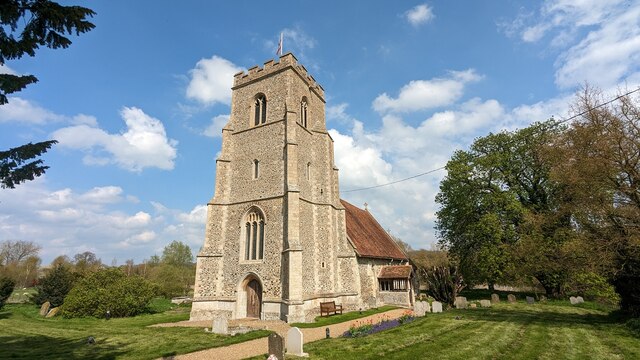
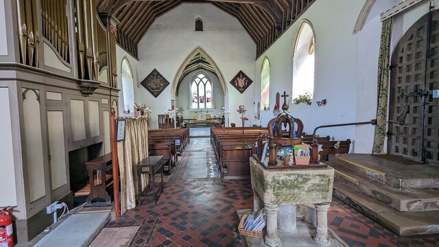
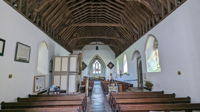
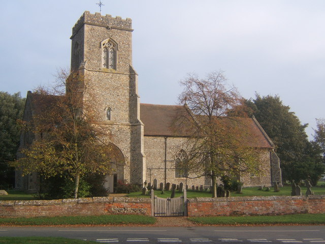
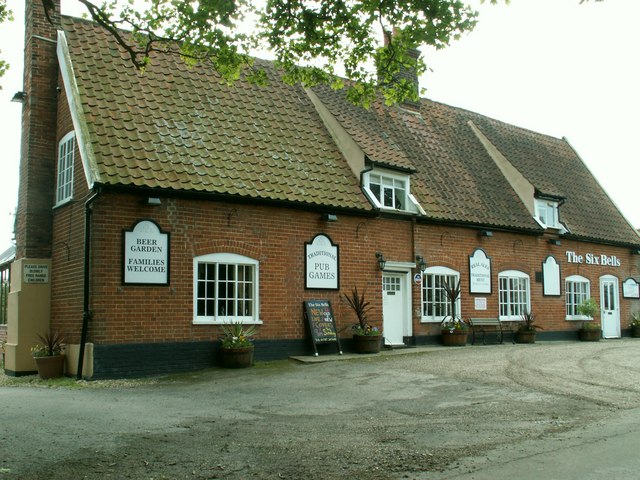
Brettenham Park Images
Images are sourced within 2km of 52.139597/0.86640321 or Grid Reference TL9652. Thanks to Geograph Open Source API. All images are credited.


Brettenham Park is located at Grid Ref: TL9652 (Lat: 52.139597, Lng: 0.86640321)
Administrative County: Suffolk
District: Babergh
Police Authority: Suffolk
What 3 Words
///spring.fatherly.pesky. Near Bildeston, Suffolk
Nearby Locations
Related Wikis
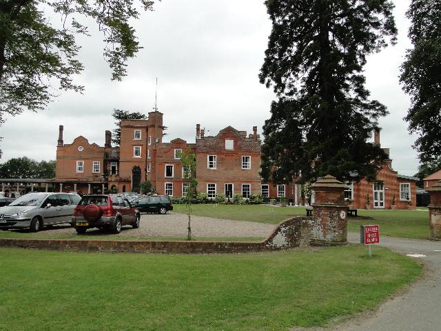
Old Buckenham Hall School
Old Buckenham Hall School (commonly known as OBH) is a day and boarding preparatory school with pre-prep for boys and girls in the village of Brettenham...
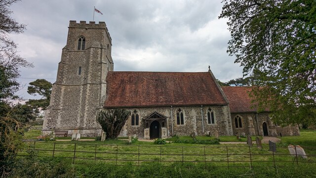
Brettenham, Suffolk
Brettenham is a village and civil parish in the Babergh district of Suffolk, England. In 2005 it had a population of 270, increasing to 353 at the 2011...

Centre Academy East Anglia
Centre Academy East Anglia, formerly known as The Old Rectory School is a private special school in Brettenham, Suffolk, England, founded in 1981. The...

Thorpe Morieux
Thorpe Morieux ( Mə-ROO) is a small village and civil parish in Suffolk, England. It is 10 miles south-east of Bury St Edmunds and 10 miles north east...

Kettlebaston
Kettlebaston is a village and a civil parish with just over 30 inhabitants in the Babergh district of Suffolk, England, located around 3 miles (5 km) east...
Preston St Mary
Preston St Mary is a village and civil parish in Suffolk, England. Located to the north-east of Lavenham, it is part of the Babergh district. The parish...

Thorpe Morieux Woods
Thorpe Morieux Woods is a 45.2-hectare (112-acre) biological Site of Special Scientific Interest north of Thorpe Morieux in Suffolk. Part of it is Bull...

RAF Rattlesden
Royal Air Force Rattlesden or more simply RAF Rattlesden is a former Royal Air Force station located 9 miles (14 km) south east of Bury St Edmunds, Suffolk...
Have you been to Brettenham Park?
Leave your review of Brettenham Park below (or comments, questions and feedback).