Brown's Grove
Wood, Forest in Suffolk Babergh
England
Brown's Grove
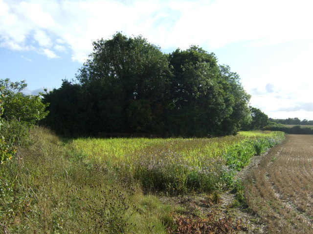
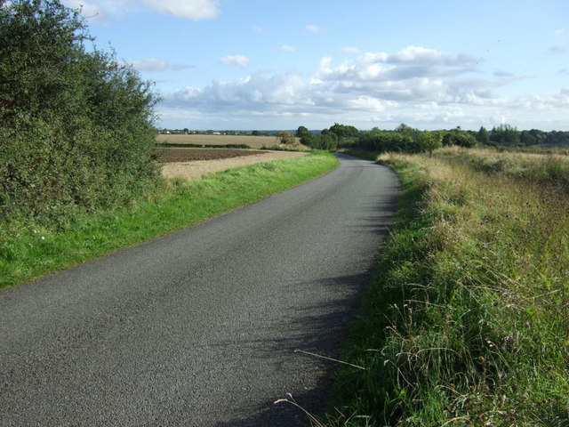
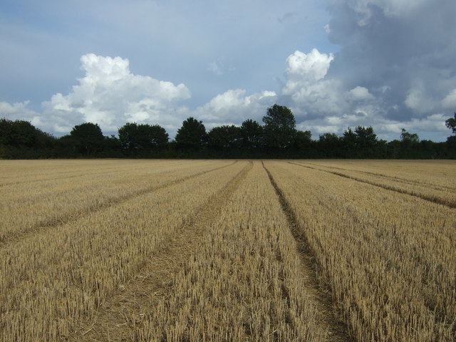
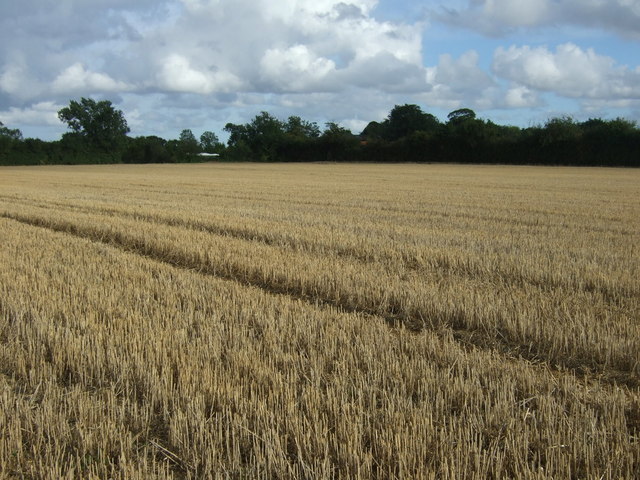
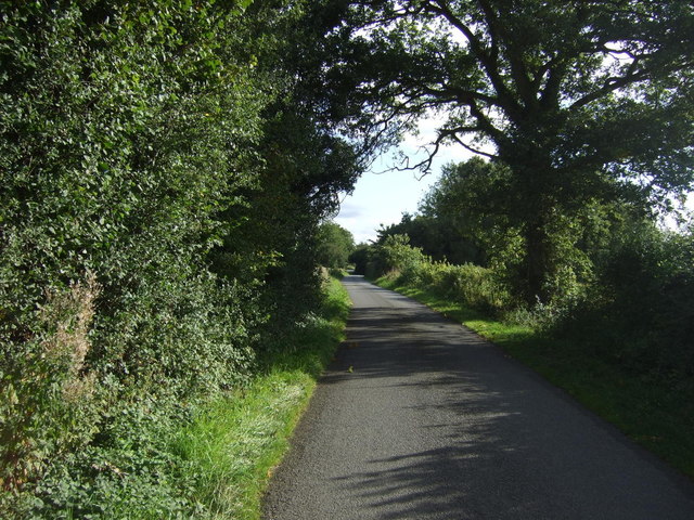
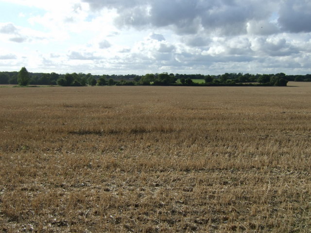
Brown's Grove is a picturesque woodland located in the county of Suffolk, England. Spread across an area of approximately 100 acres, it is a stunning example of a deciduous forest, characterized by its abundance of broad-leaved trees. The grove is situated near the town of Woodbridge, making it easily accessible to both locals and tourists.
The forest boasts a diverse range of tree species, including oak, beech, ash, and birch, providing a rich and varied ecosystem. The dense canopy created by these towering trees creates a serene and peaceful atmosphere, making Brown's Grove a popular destination for nature enthusiasts and hikers.
The forest floor is covered in a thick layer of leaf litter, which supports a variety of plant life, including ferns, bluebells, and wild garlic. This, in turn, attracts a myriad of wildlife, such as deer, foxes, badgers, and a wide array of bird species. Birdwatchers particularly flock to Brown's Grove to catch a glimpse of resident and migrating species.
The grove is crisscrossed by a network of well-maintained walking trails, allowing visitors to explore the beauty of the woodland at their own pace. These trails cater to all levels of fitness and offer opportunities for leisurely strolls, brisk walks, or even more challenging hikes.
In addition to its natural beauty, Brown's Grove has amenities for visitors, including picnic areas, benches, and information boards providing details about the flora and fauna found within the forest. The grove also hosts educational programs and guided tours, where visitors can learn about the importance of conservation and sustainable woodland management.
Overall, Brown's Grove is a must-visit destination for nature lovers, offering a tranquil escape from the bustling city life and a chance to immerse oneself in the beauty of Suffolk's woodlands.
If you have any feedback on the listing, please let us know in the comments section below.
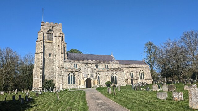
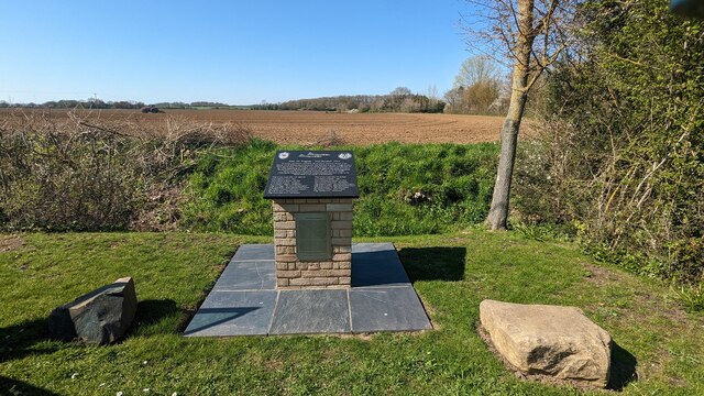
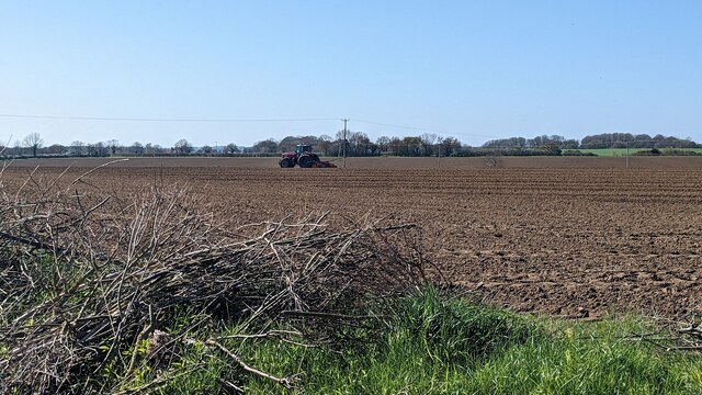
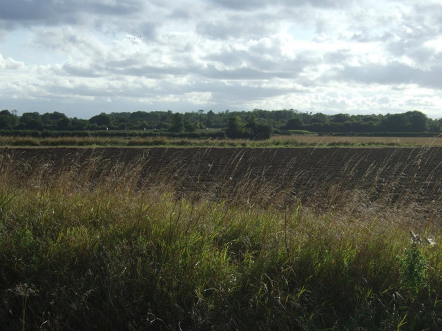
Brown's Grove Images
Images are sourced within 2km of 52.134112/0.87598861 or Grid Reference TL9652. Thanks to Geograph Open Source API. All images are credited.

Brown's Grove is located at Grid Ref: TL9652 (Lat: 52.134112, Lng: 0.87598861)
Administrative County: Suffolk
District: Babergh
Police Authority: Suffolk
What 3 Words
///investor.regard.newlywed. Near Bildeston, Suffolk
Nearby Locations
Related Wikis
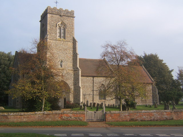
Brettenham, Suffolk
Brettenham is a village and civil parish in the Babergh district of Suffolk, England. In 2005 it had a population of 270, increasing to 353 at the 2011...
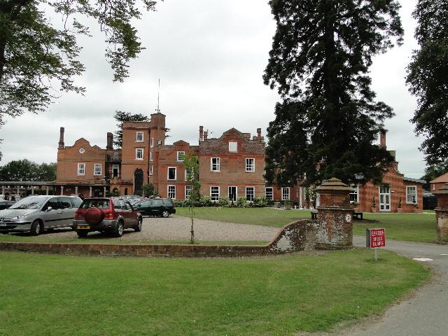
Old Buckenham Hall School
Old Buckenham Hall School (commonly known as OBH) is a day and boarding preparatory school with pre-prep for boys and girls in the village of Brettenham...

Centre Academy East Anglia
Centre Academy East Anglia, formerly known as The Old Rectory School is a private special school in Brettenham, Suffolk, England, founded in 1981. The...

Kettlebaston
Kettlebaston is a village and a civil parish with just over 30 inhabitants in the Babergh district of Suffolk, England, located around 3 miles (5 km) east...

Hitcham, Suffolk
Hitcham is a village and civil parish in Suffolk, England. Located on the B1115 road, between Hadleigh and Stowmarket, it is part of Babergh district....
Preston St Mary
Preston St Mary is a village and civil parish in Suffolk, England. Located to the north-east of Lavenham, it is part of the Babergh district. The parish...

Thorpe Morieux
Thorpe Morieux ( Mə-ROO) is a small village and civil parish in Suffolk, England. It is 10 miles south-east of Bury St Edmunds and 10 miles north east...

Bildeston
Bildeston is a village and civil parish in the Babergh district of Suffolk, England. Located around 5 miles (8 km) north of Hadleigh, in 2005 it had a...
Nearby Amenities
Located within 500m of 52.134112,0.87598861Have you been to Brown's Grove?
Leave your review of Brown's Grove below (or comments, questions and feedback).