Bridgham Heath
Downs, Moorland in Norfolk Breckland
England
Bridgham Heath
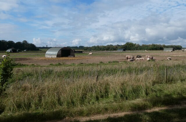
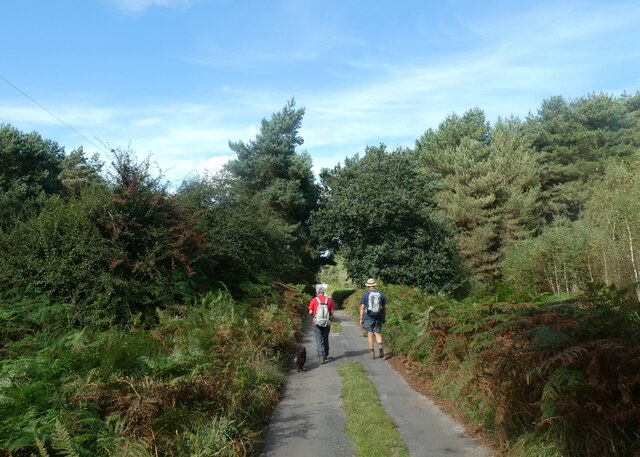
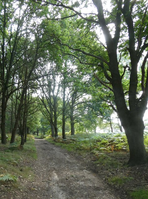
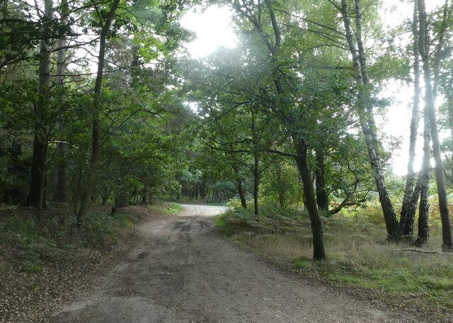
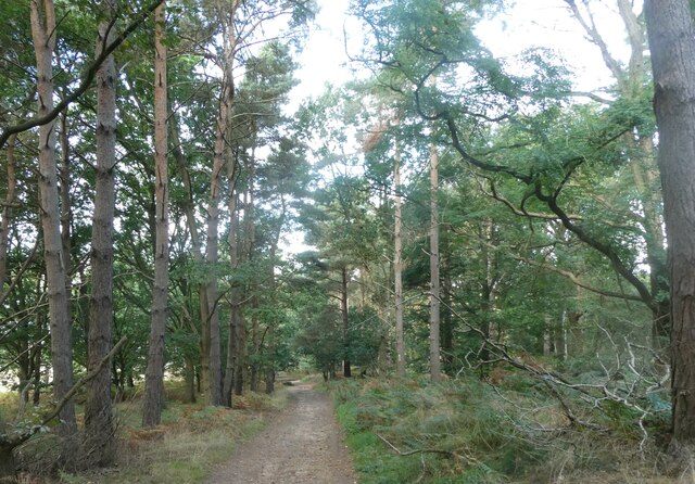
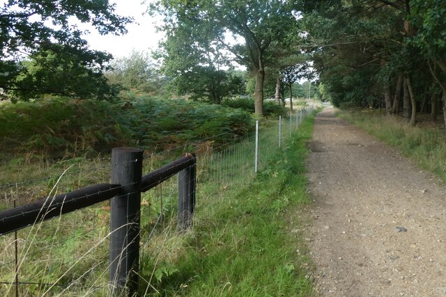
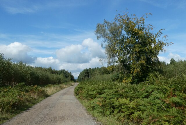
Bridgham Heath is a vast expanse of heathland located in Norfolk, England. Situated near the village of Bridgham, it covers an area of approximately 1,000 acres and is known for its diverse range of habitats, including downs and moorland.
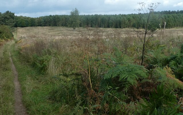
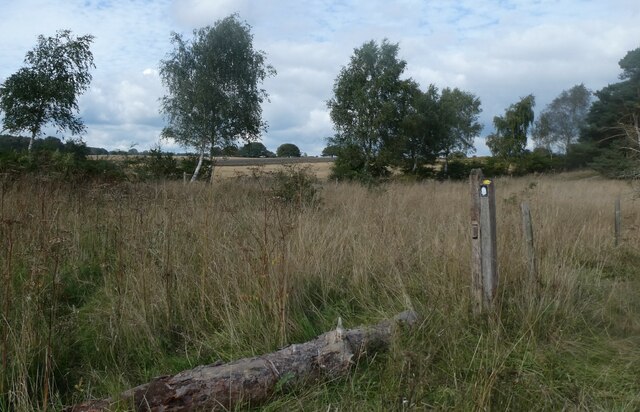
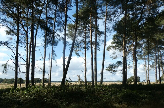
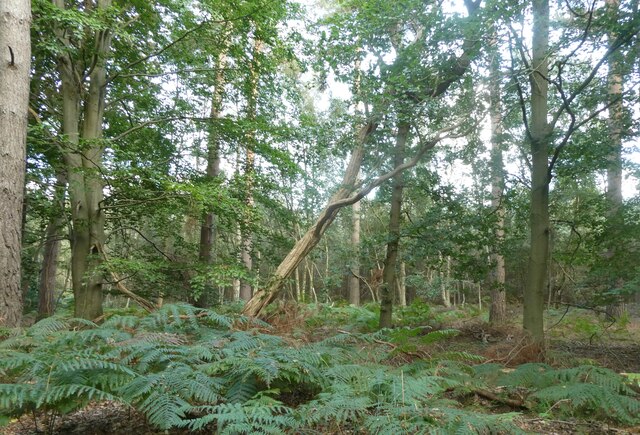
The heath is characterized by its open, undulating landscape, dotted with gorse bushes and heather. The sandy soil supports a variety of plant species, such as bristle bent grass, hare's-tail cottongrass, and bell heather. These plants create a vibrant display of colors, especially during the summer months when the heath is in full bloom.
Bridgham Heath is also home to a rich array of wildlife. It provides an important habitat for several bird species, including stonechats, woodlarks, and nightjars. The heathland environment attracts many insects, which in turn attract a variety of reptiles, including adders and common lizards. Additionally, the heath is a habitat for small mammals like rabbits and voles.
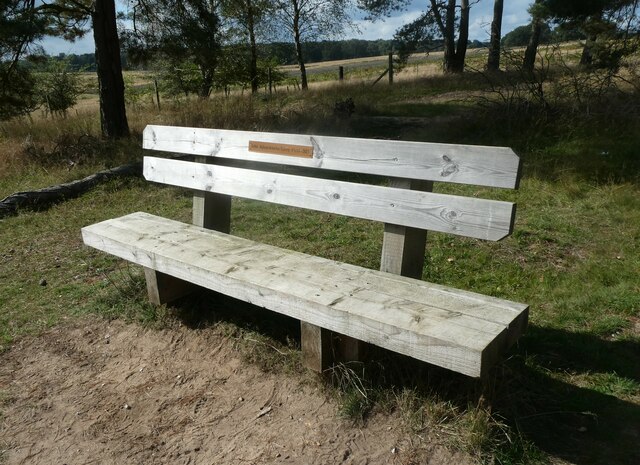
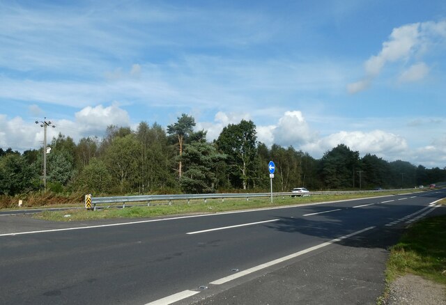
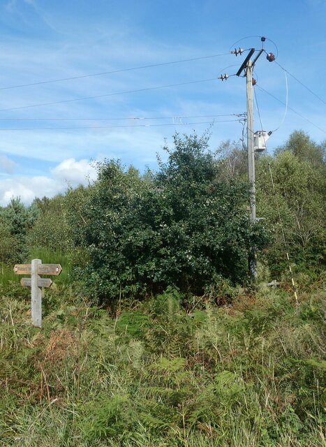
The heathland is a popular destination for outdoor enthusiasts, offering opportunities for walking, birdwatching, and nature photography. The area is crisscrossed by footpaths and tracks, allowing visitors to explore its many nooks and crannies. It is also part of the larger Breckland Special Protection Area, which helps to ensure the conservation and preservation of its unique flora and fauna.
Overall, Bridgham Heath is a picturesque and ecologically significant landscape, providing a haven for both nature enthusiasts and the diverse range of wildlife that call it home.
If you have any feedback on the listing, please let us know in the comments section below.
Bridgham Heath Images
Images are sourced within 2km of 52.443625/0.83177537 or Grid Reference TL9286. Thanks to Geograph Open Source API. All images are credited.
Bridgham Heath is located at Grid Ref: TL9286 (Lat: 52.443625, Lng: 0.83177537)
Administrative County: Norfolk
District: Breckland
Police Authority: Norfolk
What 3 Words
///slimming.image.initiates. Near Thetford, Norfolk
Nearby Locations
Related Wikis

Bridgham and Brettenham Heaths
Bridgham and Brettenham Heaths is a 439.9-hectare (1,087-acre) biological Site of Special Scientific Interest north-east of Thetford in Norfolk, England...

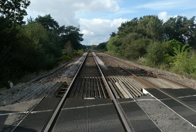
Roudham Junction railway station
Roudham Junction railway station was a station in Norfolk, England. It was located in a remote area east of Thetford, where the Main Line between Norwich...

East Wretham Heath
East Wretham Heath is a 141.1-hectare (349-acre) biological Site of Special Scientific Interest south-east of Thetford in Norfolk. It is a Nature Conservation...
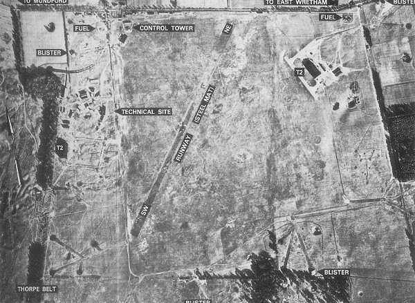
RAF East Wretham
Royal Air Force East Wretham or more simply RAF East Wretham is a former Royal Air Force station located 6 miles (9.7 km) northeast of Thetford, Norfolk...
Related Videos

Pathfinder Outstanding Circular Walks (Norfolk): Walk 8: Langmere and the Devils Punchbowl
Ordnance Survey have published a series of books describing outstanding circular walks. Known as the Pathfinder Guides, they ...

Walk about at East Wretham Norfolk
A long overdue trip out. Exploring a NWT reserve  what3words location burn.marketing.tweaked @NorfolkWildlifeTrust ...

Click Beetle (Agrypnus murinus) desperately trying to negotiate a grass blade in the wind
This Click Beetle (Agrypnus murinus) is quite widespread in southern Britain It has a distinctive mottled appearance due to the ...

Teckle nose #doglover
Albert's nose! Almost 2 Yr old teckle, doing what they do best with that nose!
Nearby Amenities
Located within 500m of 52.443625,0.83177537Have you been to Bridgham Heath?
Leave your review of Bridgham Heath below (or comments, questions and feedback).