Merton Common

Downs, Moorland in Norfolk Breckland

England

Merton Common

Watton Town Hall Viewed from the south.
Watton Town Hall Credit: Peter Wood

Merton Common is a rural area located in the county of Norfolk, England. Situated amidst the beautiful landscape of Downs and Moorland, it offers a picturesque setting for residents and visitors alike.

Covering a vast expanse of land, Merton Common is known for its diverse natural surroundings. The area is characterized by rolling hills, open fields, and heathland, providing a habitat for a variety of wildlife species. The scenic views and tranquility make it a popular destination for nature enthusiasts and hikers.

The common is also home to a small community, with a population of approximately 500 people. The residents primarily engage in agricultural activities, including farming and livestock rearing. The area has a close-knit community spirit, with a local village hall and church serving as social hubs.

Merton Common offers a range of amenities to cater to the needs of its residents. The area has a primary school, ensuring that children have access to quality education within their community. Additionally, there are a few local shops and pubs, providing essential services and a place for social gatherings.

Although Merton Common is a rural area, it benefits from its proximity to nearby towns and cities. The market town of Thetford is just a short drive away, offering a wider range of amenities, including supermarkets, healthcare facilities, and leisure activities.

In summary, Merton Common is a charming rural area in Norfolk, known for its stunning Downs and Moorland landscape. With a close-knit community and a range of amenities, it provides a peaceful and idyllic setting for residents and visitors to enjoy.

If you have any feedback on the listing, please let us know in the comments section below.

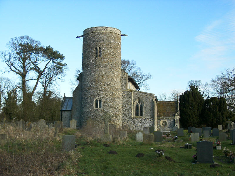
Merton Common Images

Images are sourced within 2km of 52.560795/0.80595675 or Grid Reference TL9099. Thanks to Geograph Open Source API. All images are credited.

Watton Town Hall Viewed from the south.
Watton Town Hall
Viewed from the south.
Ordnance Survey Flush Bracket S0264 This can be found on the wall of The Town Hall in Watton.
For more detail see : <span class="nowrap"><a title="http://www.bench-marks.org.uk/bm10731" rel="nofollow ugc noopener" href="http://www.bench-marks.org.uk/bm10731">Link</a><img style="margin-left:2px;" alt="External link" title="External link - shift click to open in new window" src="https://s1.geograph.org.uk/img/external.png" width="10" height="10"/></span>
Ordnance Survey Flush Bracket S0264
This can be found on the wall of The Town Hall in Watton. For more detail see : LinkExternal link
Former Brewery Building formerly Watton Brewery on the High Street Watton, Norfolk. Production ceased in about 1912 after it had been taken over by Morgans Brewery of Norwich.
Former Brewery
Building formerly Watton Brewery on the High Street Watton, Norfolk. Production ceased in about 1912 after it had been taken over by Morgans Brewery of Norwich.
Watton Brewery Sign Old name on former brewery building at Watton, Norfolk for view of the building see <a title="https://www.geograph.org.uk/photo/4308213" href="https://www.geograph.org.uk/photo/4308213">Link</a>
Watton Brewery Sign
Old name on former brewery building at Watton, Norfolk for view of the building see Link
High Street, Watton Looking along the eastern end of the High Street, dozing at midday on a Sunday. Watton is a small market town with a population of about 6,800 - a centre for a deeply rural district.
High Street, Watton
Looking along the eastern end of the High Street, dozing at midday on a Sunday. Watton is a small market town with a population of about 6,800 - a centre for a deeply rural district.
High Street, Watton Looking along the north side of Watton's High Street with the Post Office immediately ahead.
High Street, Watton
Looking along the north side of Watton's High Street with the Post Office immediately ahead.
J.C. Books, Watton Books, many with an East Anglian theme, look out from the window of this second-hand bookshop's window onto Watton High Street.
J.C. Books, Watton
Books, many with an East Anglian theme, look out from the window of this second-hand bookshop's window onto Watton High Street.
The Manor House, Watton This splendid building on Dereham Road dates from the 18th century. It is now occupied by a firm of solicitors.
The Manor House, Watton
This splendid building on Dereham Road dates from the 18th century. It is now occupied by a firm of solicitors.
Middle Street, Watton Middle street is a short street running west from Dereham Road parallel with High Street.
Middle Street, Watton
Middle street is a short street running west from Dereham Road parallel with High Street.
The Clock Tower, Watton This distinctive building on High Street once served as the town's lock-up, with bells in the upper part to warn of fire.
The Clock Tower, Watton
This distinctive building on High Street once served as the town's lock-up, with bells in the upper part to warn of fire.
The Clock Tower, Watton Looking straight up at the clock tower on High Street which dates from 1679.
The Clock Tower, Watton
Looking straight up at the clock tower on High Street which dates from 1679.
Watton High Street and clock tower The clock tower was built in 1679. It houses a bell which was originally intended to act as a fire warning (following the fire of 1674 which caused much damage). The brick tower was rendered in cement in 1827.
Watton High Street and clock tower
The clock tower was built in 1679. It houses a bell which was originally intended to act as a fire warning (following the fire of 1674 which caused much damage). The brick tower was rendered in cement in 1827.
Queens Hall, Watton Opened in 1956 and originally called Coronation Hall, Queens Hall is run by a charitable trust as a community venue.
Queens Hall, Watton
Opened in 1956 and originally called Coronation Hall, Queens Hall is run by a charitable trust as a community venue.
Businesses on Middle Street See <a href="https://www.geograph.org.uk/photo/6131717">TF9100 : Flower shop</a> for a closer view of the Dutch Flower Shop.
Businesses on Middle Street
See TF9100 : Flower shop for a closer view of the Dutch Flower Shop.
Queues for Fuel, Thetford Road At the time of photographing, motorists are responding by panic buying to a shortage of fuel deliveries to filling stations (caused by a shortage of HGV drivers). Hence long queues have formed at those places that have not yet sold out.
Queues for Fuel, Thetford Road
At the time of photographing, motorists are responding by panic buying to a shortage of fuel deliveries to filling stations (caused by a shortage of HGV drivers). Hence long queues have formed at those places that have not yet sold out.
Post Box, Watton, Norfolk IP25 3326. Royal Mail list this box as 'IP25 Harvey Street Watton Thetford'.
Post Box, Watton, Norfolk
IP25 3326. Royal Mail list this box as 'IP25 Harvey Street Watton Thetford'.
OS Benchmark, Watton, Central Hall An O.S cut mark in excellent condition.
OS Benchmark, Watton, Central Hall
An O.S cut mark in excellent condition.
Postbox at Watton IP25 3344. Royal Mail list this box as 'IP25 West End'.
Postbox at Watton
IP25 3344. Royal Mail list this box as 'IP25 West End'.
Show me another place!

Merton Common is located at Grid Ref: TL9099 (Lat: 52.560795, Lng: 0.80595675)

Administrative County: Norfolk

District: Breckland

Police Authority: Norfolk

What 3 Words

///homecare.sponsors.reflected. Near Watton, Norfolk

Nearby Locations

Merton Common

Related Wikis

Merton, Norfolk

Merton is a civil parish in the English county of Norfolk. It covers an area of 5.94 km2 (2.29 sq mi) and had a population of 113 in 50 households at the...

Wayland Academy, Watton

Wayland Academy (formerly Wayland Community High School) is a small mixed secondary school located in Watton in the English county of Norfolk. It is part...
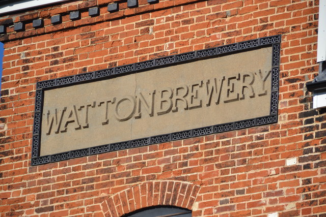
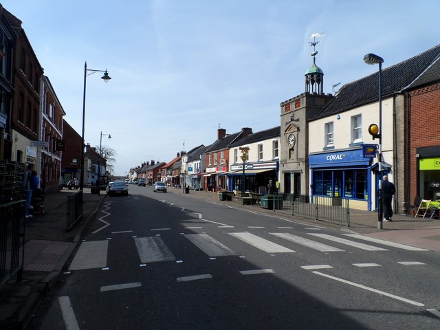
Watton, Norfolk

Watton is a market town in the district of Breckland in the English county of Norfolk, about 25 miles (40 km) west-southwest of Norwich and 15 miles (24...
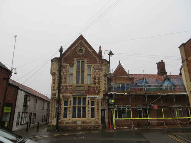
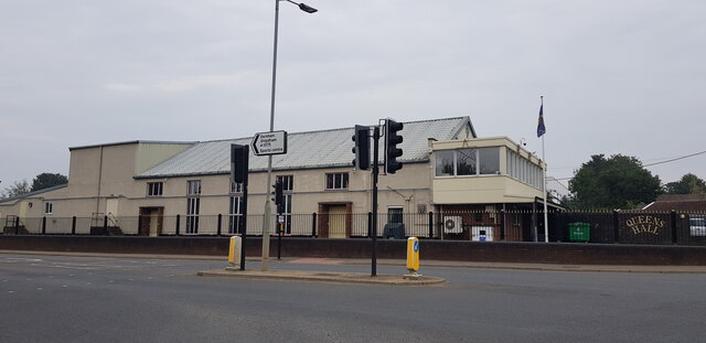
Wayland Hall

Wayland Hall, also known as Watton Town Hall, is a community events venue in Middle Street, Watton, Norfolk, England: the structure, which also accommodates...

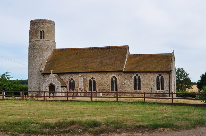
Threxton, All Saints

Threxton All Saints is a round-tower church at Threxton Hill, situated east of the village of Little Cressingham and west of the town of Watton in the...

Merton Hall, Norfolk

Merton Hall is a 19th century country house in Merton, Norfolk, England. The extant north-west wing is a Grade II listed building. The 17th-century gatehouse...

Watton United F.C.

Watton United Football Club is an English football club based in Watton, Norfolk. The club are currently members of the Anglian Combination Division One...

Watton railway station

Watton railway station was located in Watton, Norfolk. It was on the Great Eastern Railway line between Swaffham and Thetford, and closed for passengers...

Nearby Amenities

Located within 500m of 52.560795,0.80595675
The data included in this document is from www.openstreetmap.org. The data is made available under ODbL.

Have you been to Merton Common?

Leave your review of Merton Common below (or comments, questions and feedback).