Woolpit Downs

Downs, Moorland in Essex Braintree

England

Woolpit Downs

Houses at Bures Hamlet
Houses at Bures Hamlet Credit: Colin Park

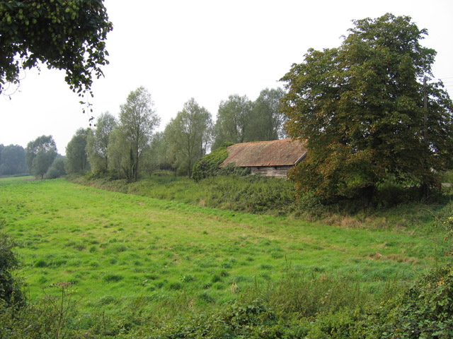
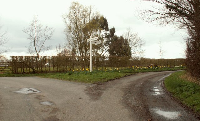
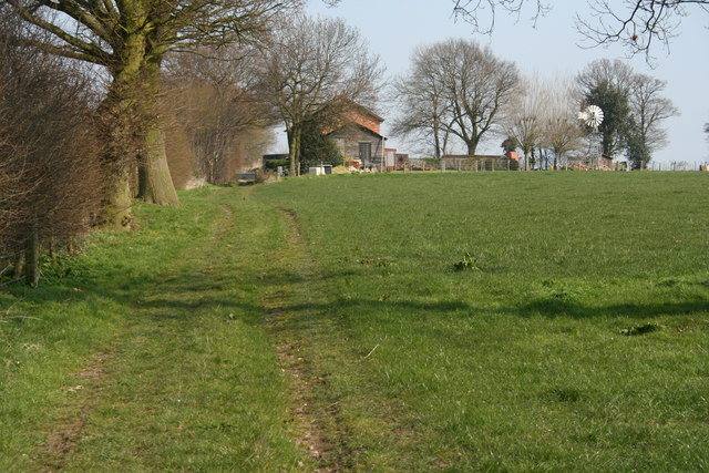
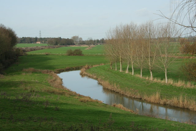
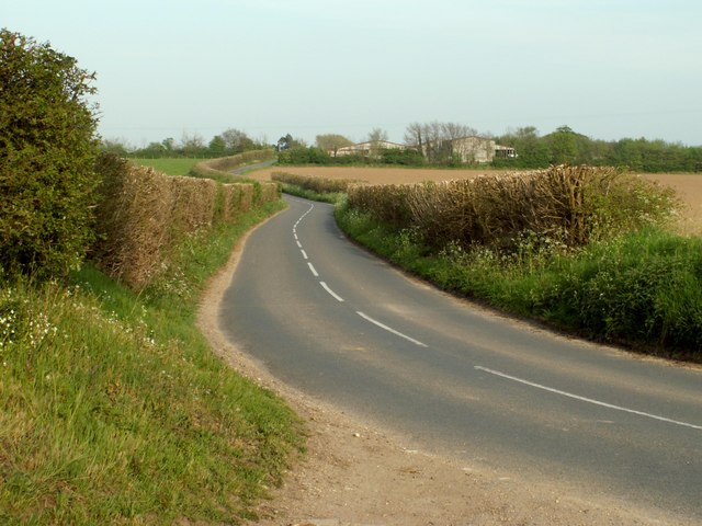
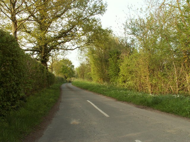
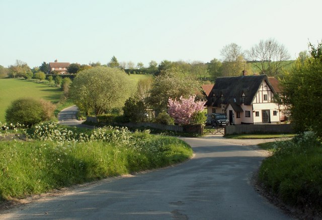
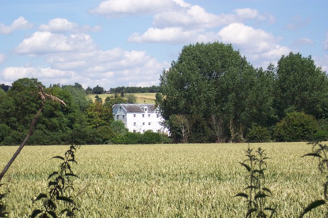
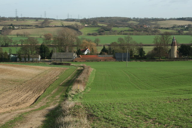
Woolpit Downs is a captivating area of natural beauty located in the county of Essex, England. Spanning over 250 acres, these downs offer a diverse landscape that combines rolling hills, open grassland, and patches of moorland. Situated near the village of Woolpit, the downs are easily accessible and attract locals and tourists alike.

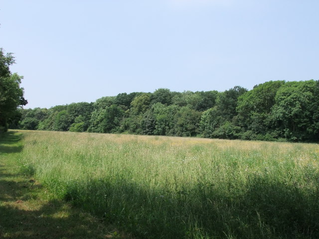
The downs are characterized by their vast expanse of heather-covered moorland, creating a picturesque setting that changes color with the seasons. During the summer months, the moorland blooms with vibrant purple hues, creating a breathtaking sight. This unique ecosystem supports a variety of wildlife, including rare bird species such as the stone curlew and Dartford warbler.

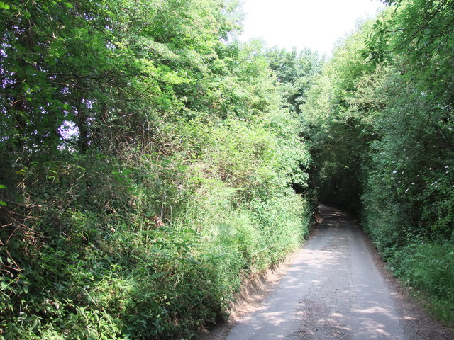
The grassland areas of Woolpit Downs provide ample space for recreational activities such as picnicking, kite flying, and nature walks. The undulating hills offer panoramic views of the surrounding countryside, making it a popular spot for photographers and nature enthusiasts. Visitors can also explore the numerous walking trails that crisscross the downs, allowing them to immerse themselves in the natural splendor of the area.

Woolpit Downs is not only a haven for wildlife and outdoor enthusiasts but also holds historical significance. The downs are dotted with archaeological sites, including ancient burial mounds and evidence of prehistoric settlements. These remnants provide a glimpse into the area's rich history and offer an opportunity for educational exploration.

In conclusion, Woolpit Downs in Essex is a magnificent natural landscape that combines moorland, grassland, and historical sites. With its diverse ecosystem and stunning vistas, it is a must-visit destination for anyone seeking tranquility and a connection with nature.

If you have any feedback on the listing, please let us know in the comments section below.

Woolpit Downs Images

Images are sourced within 2km of 51.970461/0.76674189 or Grid Reference TL9033. Thanks to Geograph Open Source API. All images are credited.

Houses at Bures Hamlet
Bures - Nayland Road
Bures - St Stephen's Chapel
'The Lamarsh Lion' inn, Lamarsh, Essex
The Ferriers The barn is disappearing behind brambles and other vegetation. The horse chestnut tree in the top left of the picture has produced a fine crop of 'conkers'.
The Ferriers
The barn is disappearing behind brambles and other vegetation. The horse chestnut tree in the top left of the picture has produced a fine crop of 'conkers'.
Pricketts Hall Thatched roofs are frequently seen in rural north Essex.
Pricketts Hall
Thatched roofs are frequently seen in rural north Essex.
Tractor and new hedge These flat fields are more than 70 metres above sea level, making them fairly high by Essex standards.
Tractor and new hedge
These flat fields are more than 70 metres above sea level, making them fairly high by Essex standards.
A view of Hill Farm on Springett's Hill There are some lovely views from this hill when looking east.
A view of Hill Farm on Springett's Hill
There are some lovely views from this hill when looking east.
Road junction, just south of Lamarsh
Farm buildings and footpath, near Bures I didn't notice any house name, and there's none on the map. Note the wind vane, which is to the right, and is on the map.
Farm buildings and footpath, near Bures
I didn't notice any house name, and there's none on the map. Note the wind vane, which is to the right, and is on the map.
River Stour, Lamarsh
Colne Road leading to Bures
An un-named road at Horne's Green
Part of Springetts Hill
Bell Hill, Lamarsh
Bell Hill, Lamarsh
Private drive to Clees Hall
Footpath next to Mosse's Wood
Bures Mill, near Bures, Suffolk
Show me another place!

Woolpit Downs is located at Grid Ref: TL9033 (Lat: 51.970461, Lng: 0.76674189)

Administrative County: Essex

District: Braintree

Police Authority: Essex

What 3 Words

///bungalows.live.dislodge. Near Bures St Mary, Suffolk

Nearby Locations

Woolpit Downs

Related Wikis

Bures railway station

Bures railway station is on the Gainsborough Line, a branch off the Great Eastern Main Line to Sudbury, in the East of England, serving the village of...

Bures Hamlet

Bures Hamlet is a civil parish in the Braintree district of Essex, England. At the 2011 census, it had a population of 749.The parish covers the western...

Bures St Mary

Bures St Mary is a civil parish in the Babergh district of the English county of Suffolk. In 2005 it had a population of 940, reducing to 918 at the 2011...
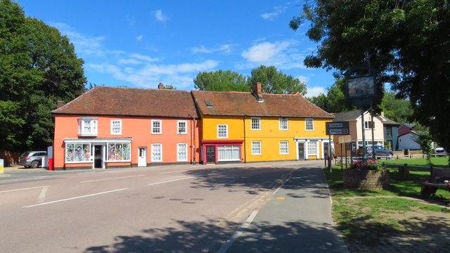
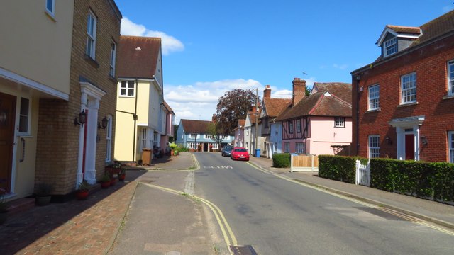
Bures, England

Bures is a village in eastern England that straddles the Essex/Suffolk border, made up of two civil parishes: Bures Hamlet in Essex and Bures St. Mary...
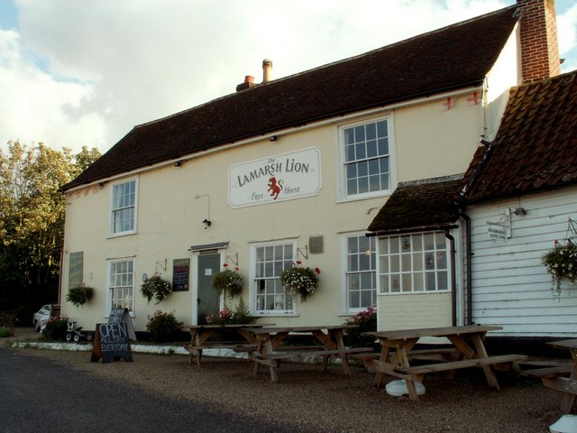
Lamarsh

Lamarsh is a village and a civil parish in the Braintree District, in the county of Essex, England. It is near the large village of Bures and the village...

Mount Bures

Mount Bures is a small village in England on the Essex and Suffolk borders. It takes its name from the mount or motte believed to have been built shortly...

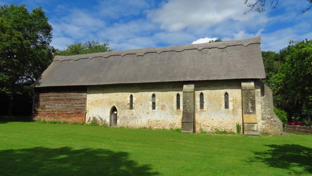
Holy Innocents Church, Lamarsh

Holy Innocents Church is an Anglican church in the village of Lamarsh, in Essex, England. The building has a round tower and dates from the 12th century...

Alphamstone

Alphamstone is a village and civil parish in Essex, England. It is located 3+3⁄4 miles (6.0 km) south of Sudbury in Suffolk and is 20 mi (32 km) northeast...

Nearby Amenities

Located within 500m of 51.970461,0.76674189
Turning Circle
Lat/Long: 51.9709588/0.7712999
Bures
Naptan AtcoCode: 9100BURES
Network: National Rail
Network Website: https://www.nationalrail.co.uk/stations/bue/
Network Wikidata: Q26334
Railway: station
Ref Crs: BUE
Source: NPE
Wikidata: Q2069489
Wikipedia: en:Bures railway station
Lat/Long: 51.9712052/0.7691268
Turning Circle
Lat/Long: 51.9696798/0.7703151
The Swan Pub and Bistro
Disused Amenity: pub
Lat/Long: 51.9718902/0.7716706
Turning Circle
Lat/Long: 51.9703958/0.7692171
Turning Circle
Lat/Long: 51.9700246/0.769223
Eight Bells
Naptan AtcoCode: 1500IM744
Naptan Bearing: W
Naptan BusStopType: CUS
Naptan CommonName: The Swan
Naptan Crossing: Colchester Road
Naptan Indicator: o/s
Naptan Landmark: The Swan
Naptan NaptanCode: esxdjpat
Naptan Street: Station Hill
Naptan Verified: no
Public Transport: platform
Source: naptan_import
Lat/Long: 51.9719225/0.7724154
Eight Bells
Naptan AtcoCode: 1500IM744B
Naptan Bearing: N
Naptan BusStopType: CUS
Naptan CommonName: The Swan
Naptan Crossing: Station Hill
Naptan Indicator: N-bound
Naptan Landmark: The Swan
Naptan NaptanCode: esxdjpwd
Naptan Street: Colchester Road
Naptan Verified: no
Public Transport: platform
Source: naptan_import
Lat/Long: 51.9718193/0.7720849
Post Box
Collection Times: Mo-Fr 16:30; Sa 10:30
Operator: Royal Mail
Post Box Apertures: 1
Post Box Type: lamp
Ref: CO8 439
Royal Cypher: EIIR
Royal Cypher Wikidata: Q33102113
Lat/Long: 51.9715583/0.7701607
Post Box
Post Box Mounting: brick_pillar
Post Box Type: wall
Ref: CO8 311
Royal Cypher: GR
Royal Cypher Wikidata: Q33102273
Lat/Long: 51.9712098/0.7719115
Bures Hamlet
Is In County: Essex
Is In District: Braintree
Place: village
Lat/Long: 51.9717225/0.7714892
Entrance: main
Lat/Long: 51.9720588/0.7666948
Information: map
Map Size: city
Map Type: street
Tourism: information
Lat/Long: 51.9711721/0.7693993
Board Type: notice
Description: Bures Station info
Information: board
Tourism: information
Lat/Long: 51.9711797/0.7693962
Crossing
Crossing: uncontrolled
Crossing Island: yes
Lat/Long: 51.9717653/0.7721369
Bench
Lat/Long: 51.9707347/0.7739183
Railway: crossing
Lat/Long: 51.9696334/0.7699114
Barrier: stile
Lat/Long: 51.9697569/0.7697365
Bures
Public Transport: stop_position
Railway: stop
Ref: 1
Train: yes
Lat/Long: 51.9712214/0.7691201
Barrier: stile
Lat/Long: 51.9696402/0.7699598
Crossing
Crossing: uncontrolled
Crossing Island: yes
Lat/Long: 51.9719332/0.7721007
Rose’s General Store
Addr City: Bures
Addr Housenumber: 13
Addr Postcode: CO8 5AD
Addr Street: Bridge Street
Addr Village: Bures Hamlet
Fhrs Id: 300208
Shop: convenience
Source Addr: FHRS Open Data
Lat/Long: 51.9720757/0.7728343
Village Deli
Addr City: Bures
Addr Housenumber: 9A
Addr Postcode: CO8 5AD
Addr Street: Bridge Street
Addr Village: Bures Hamlet
Fhrs Id: 300752
Shop: convenience
Source Addr: FHRS Open Data
Lat/Long: 51.9720662/0.7726264
Beautiful You, Hairdresser
Shop: hairdresser
Lat/Long: 51.9720382/0.772212
Bures village sign
Man Made: village_sign
Tourism: artwork
Lat/Long: 51.9718265/0.7723959
Silver Jubilee
Tourism: artwork
Lat/Long: 51.9717654/0.7723557
Telephone
Booth: K6
Covered: booth
Listed Status: Grade II
Phone: +44 1787 227301
Lat/Long: 51.971898/0.7718567
Bench
Lat/Long: 51.9718114/0.7723774
Advertising: board
Lat/Long: 51.971785/0.7723953
Give Way
Direction: backward
Lat/Long: 51.9719115/0.7721729
Defibrillator
Access: yes
Defibrillator Location: Attached to wall inside shelter on the platford of Bures railay station.
Emergency: defibrillator
Indoor: yes
Ref GB The Circuit: E8E9F2F1-75C2-40C9-94E2-AEF4008B1126
Lat/Long: 51.9711548/0.7692505
The data included in this document is from www.openstreetmap.org. The data is made available under ODbL.

Have you been to Woolpit Downs?

Leave your review of Woolpit Downs below (or comments, questions and feedback).