Melford Park
Downs, Moorland in Suffolk Babergh
England
Melford Park

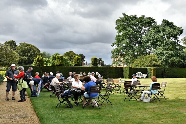
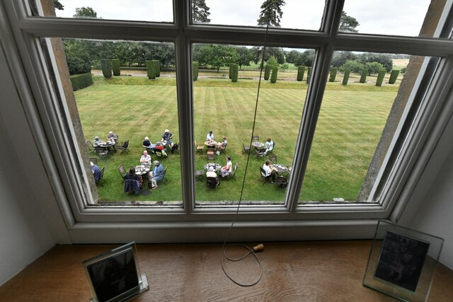
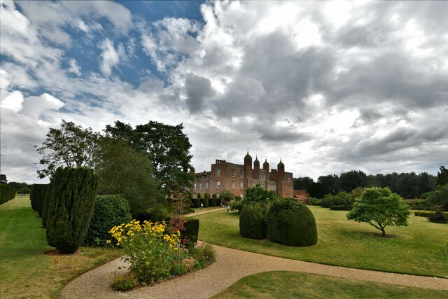
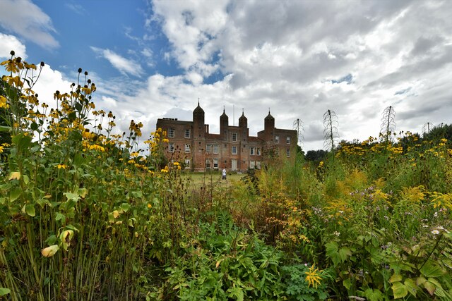
Melford Park, located in Suffolk, England, is a picturesque and expansive area that encompasses downs and moorland landscapes. Spanning approximately several hundred acres, it is a popular destination for nature enthusiasts and outdoor lovers. The park is situated near the historic village of Long Melford, known for its well-preserved medieval buildings and charming atmosphere.
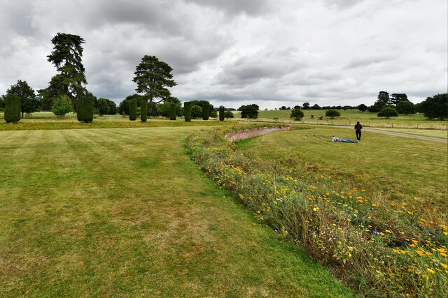
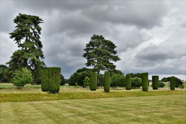
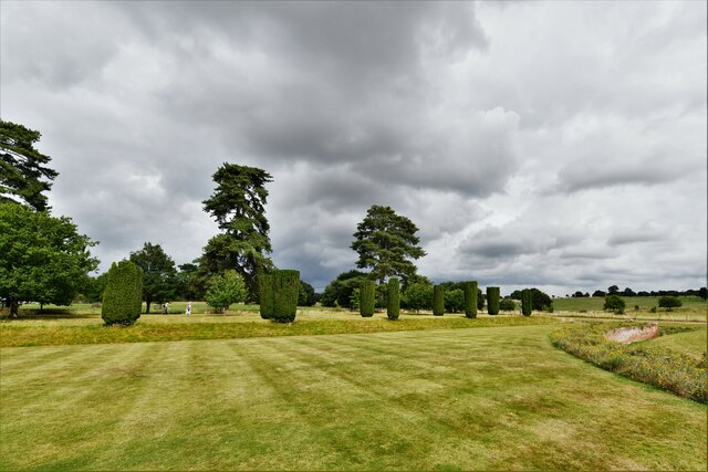
The downs of Melford Park offer stunning views of the surrounding countryside, with rolling hills and open grasslands stretching as far as the eye can see. Visitors can enjoy long walks or leisurely hikes, taking in the fresh air and peaceful ambiance. The diverse flora and fauna in this area make it a haven for wildlife enthusiasts and birdwatchers, with various species calling the park their home.
Adjacent to the downs, the moorland section of Melford Park provides a unique and rugged landscape. Here, visitors can explore heathlands filled with purple heather and gorse, creating a beautiful contrast against the greenery. The moors are characterized by their undulating terrain, dotted with small ponds and streams, adding to the park's natural beauty.
Melford Park also offers several well-maintained trails and footpaths, allowing visitors to easily navigate through the park. These trails cater to different abilities and interests, making it accessible to all. Additionally, there are designated picnic areas, making it an ideal spot for families and friends to enjoy a day out in nature.
Overall, Melford Park in Suffolk is a wonderful destination for those seeking tranquility, natural beauty, and outdoor activities. Its downs and moorland landscapes provide a diverse and captivating environment that is sure to leave a lasting impression on all who visit.
If you have any feedback on the listing, please let us know in the comments section below.
Melford Park Images
Images are sourced within 2km of 52.084299/0.72693675 or Grid Reference TL8646. Thanks to Geograph Open Source API. All images are credited.


Melford Park is located at Grid Ref: TL8646 (Lat: 52.084299, Lng: 0.72693675)
Administrative County: Suffolk
District: Babergh
Police Authority: Suffolk
What 3 Words
///eased.offline.golden. Near Long Melford, Suffolk
Nearby Locations
Related Wikis

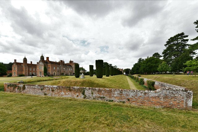
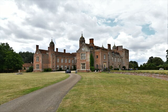
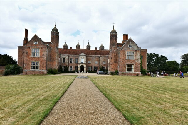
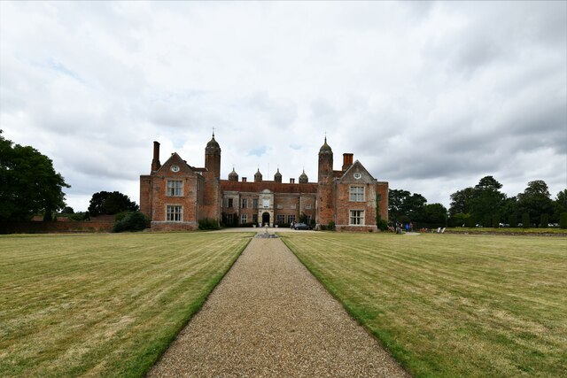
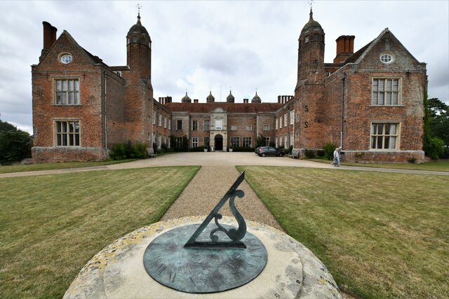
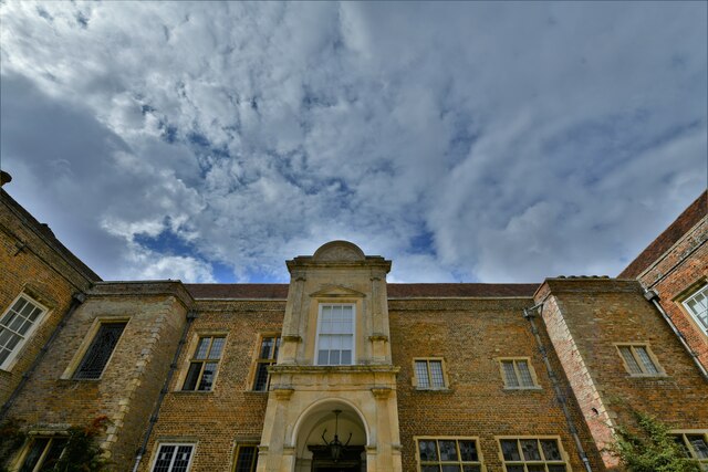
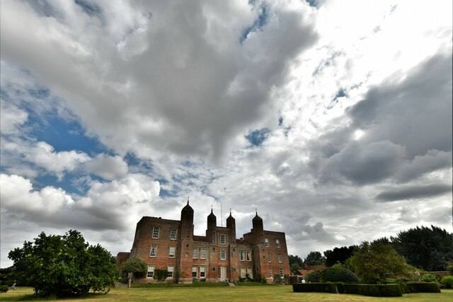
Melford Hall
Melford Hall is a stately home in the village of Long Melford, Suffolk, England. Since 1786 it has been the seat of the Parker Baronets and is still lived...

Holy Trinity Church, Long Melford
The Church of the Holy Trinity is a Grade I listed parish church of the Church of England in Long Melford, Suffolk, England. It is one of 310 medieval...

Long Melford
Long Melford, colloquially and historically also referred to as Melford, is a large village and civil parish in the Babergh district, in the county of...

Long Melford F.C.
Long Melford Football Club is a football club based in Long Melford, Suffolk, England. Affiliated to the Suffolk County FA, they are currently members...

Liston, Essex
Liston is a small village and civil parish in North Essex, England, located one mile WSW of Long Melford, on the banks of the River Stour. Its parish church...
Long Melford railway station
Long Melford railway station is a disused station that served the village of Long Melford in Suffolk, England. It opened in 1865 as "Melford" and was renamed...

Acton, Suffolk
Acton is a village and civil parish in the English county of Suffolk. The parish also includes the hamlets of Cuckoo Tye and Newman's Green. == Etymology... ==

Lineage Wood & Railway Track, Long Melford
Lineage Wood & Railway Track, Long Melford is a 78.7-hectare (194-acre) biological Site of Special Scientific Interest north-east of Long Melford in Suffolk...
Nearby Amenities
Located within 500m of 52.084299,0.72693675Have you been to Melford Park?
Leave your review of Melford Park below (or comments, questions and feedback).