Claypits Pond

Lake, Pool, Pond, Freshwater Marsh in Suffolk Babergh

England

Claypits Pond

Long Melford, Melford Hall: Northern aspect
Long Melford, Melford Hall: Northern aspect Credit: Michael Garlick

Claypits Pond is a picturesque freshwater marsh located in Suffolk, England. Nestled amidst the stunning countryside, this serene body of water offers a tranquil setting for nature enthusiasts and wildlife lovers alike.

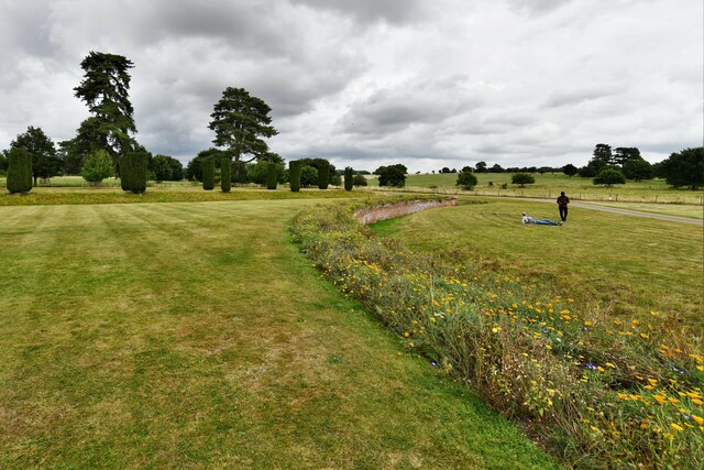
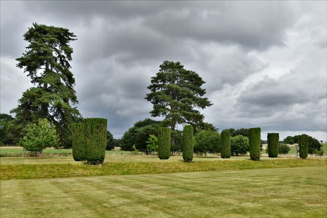
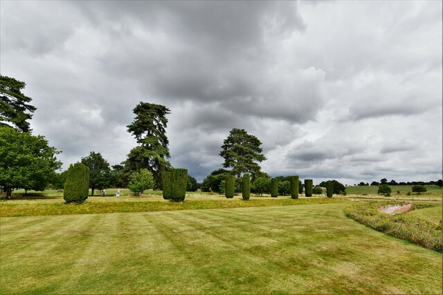
Covering an area of approximately 5 acres, Claypits Pond is a diverse ecosystem that supports a wide range of flora and fauna. The pond is surrounded by lush vegetation, including reeds, rushes, and water lilies, which provide essential habitat and nesting sites for numerous bird species.

Birdwatchers flock to Claypits Pond to catch a glimpse of its resident and migratory bird populations. Common sightings include the graceful swans, majestic herons, and the elusive kingfishers. Ducks, geese, and grebes are also frequently spotted on the pond's calm waters.

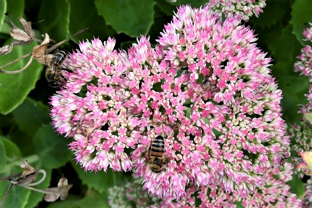
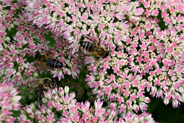
The pond itself is teeming with life, hosting a variety of fish species, such as carp and perch, which attract anglers seeking a peaceful day of fishing. The pond's clear waters are also home to a diverse array of invertebrates, including dragonflies, water snails, and beetles.

Claypits Pond offers several walking trails and observation points, allowing visitors to explore the surrounding wetlands and take in the breathtaking views. The pond is also a popular spot for picnicking and nature photography, with its idyllic scenery providing the perfect backdrop for capturing the beauty of Suffolk's countryside.

Overall, Claypits Pond is a haven for wildlife, offering a peaceful retreat for both humans and animals alike. Its diverse ecosystem, scenic beauty, and abundance of wildlife make it a must-visit destination for anyone seeking a natural escape in Suffolk.

If you have any feedback on the listing, please let us know in the comments section below.

Claypits Pond Images

Images are sourced within 2km of 52.085384/0.7228133 or Grid Reference TL8646. Thanks to Geograph Open Source API. All images are credited.

Long Melford, Melford Hall: Northern aspect
Long Melford, Melford Hall: Avenue of trees leading to the main entrance
Long Melford, Melford Hall: Northern eastern aspect
Long Melford, Melford Hall: Eastern aspect
Long Melford, Melford Hall: Sundial
Long Melford, Melford Hall: Flower border and grounds looking north
Long Melford, Melford Hall: Grounds looking north
Long Melford, Melford Hall: Flower border and grounds looking north
Long Melford, Melford Hall: East entrance
Long Melford, Melford Hall: Outdoor seating area for the tea room
Long Melford, Melford Hall: North western aspect
Long Melford, Melford Hall: Western aspect
Long Melford, Melford Hall: Bees on Sedum
Show me another place!

Claypits Pond is located at Grid Ref: TL8646 (Lat: 52.085384, Lng: 0.7228133)

Administrative County: Suffolk

District: Babergh

Police Authority: Suffolk

What 3 Words

///merchant.incursion.earful. Near Long Melford, Suffolk

Related Wikis

Holy Trinity Church, Long Melford

The Church of the Holy Trinity is a Grade I listed parish church of the Church of England in Long Melford, Suffolk, England. It is one of 310 medieval...
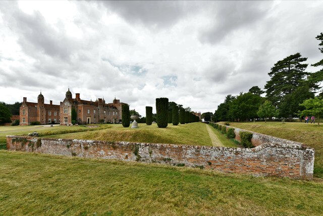
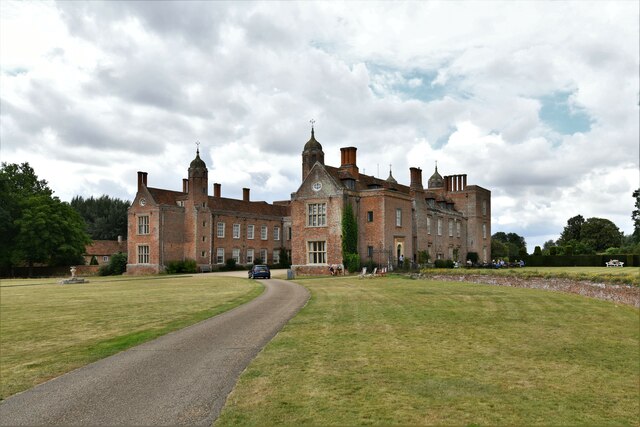
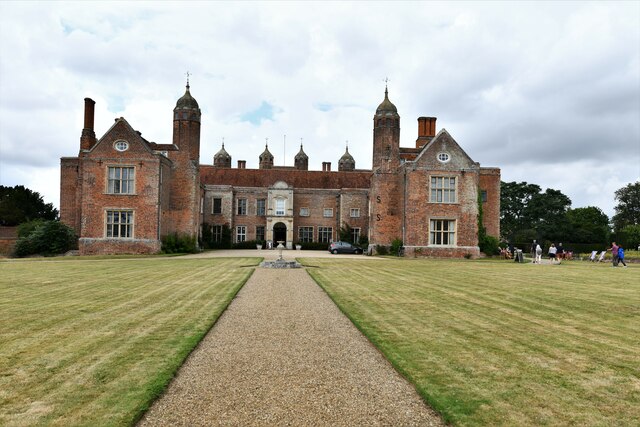
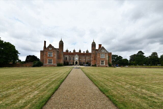
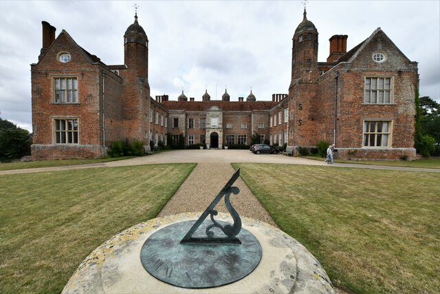
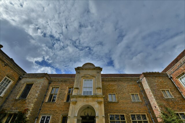
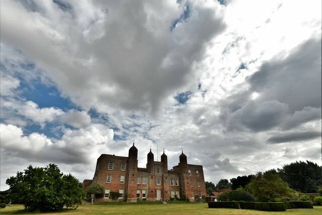
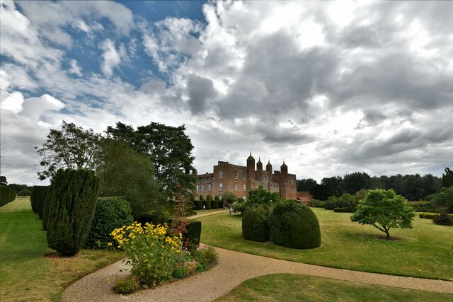
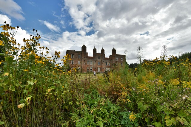
Melford Hall

Melford Hall is a stately home in the village of Long Melford, Suffolk, England. Since 1786 it has been the seat of the Parker Baronets and is still lived...

Long Melford

Long Melford, colloquially and historically also referred to as Melford, is a large village and civil parish in the Babergh district, in the county of...

Long Melford F.C.

Long Melford Football Club is a football club based in Long Melford, Suffolk, England. Affiliated to the Suffolk County FA, they are currently members...

Nearby Amenities

Located within 500m of 52.085384,0.7228133
Parking
Access: customers
Fee: no
Parking: surface
Lat/Long: 52.0837885/0.7222541
Bus Stop
Black Lion
Naptan AtcoCode: 390010156
Naptan Bearing: W
Naptan CommonName: Black Lion
Naptan Indicator: adj
Naptan Landmark: Black Lion
Naptan NaptanCode: sufadmdg
Naptan Street: Westgate Street
Naptan Verified: no
Source: naptan_import
Lat/Long: 52.0858951/0.7205095
Bus Stop
Black Lion
Naptan AtcoCode: 390010157
Naptan Bearing: E
Naptan BusStopType: CUS
Naptan CommonName: Black Lion
Naptan Indicator: opp
Naptan Landmark: Black Lion
Naptan NaptanCode: sufadmdj
Naptan Street: Westgate Street
Naptan Verified: no
Source: naptan_import
Lat/Long: 52.08602/0.7207079
Bus Stop
Harefield
Naptan AtcoCode: 390010648
Naptan Bearing: S
Naptan BusStopType: CUS
Naptan CommonName: Harefield
Naptan Indicator: adj
Naptan Landmark: Harefield
Naptan NaptanCode: sufagwdm
Naptan Street: High Street
Naptan Verified: no
Source: naptan_import
Lat/Long: 52.0894626/0.7250638
Bus Stop
Harefield
Naptan AtcoCode: 390010649
Naptan Bearing: NE
Naptan BusStopType: CUS
Naptan CommonName: Harefield
Naptan Indicator: opp
Naptan Landmark: Harefield
Naptan NaptanCode: sufagwdp
Naptan Street: High Street
Naptan Verified: no
Source: naptan_import
Lat/Long: 52.0894859/0.7248317
Pub
The Hare
Addr City: Sudbury
Addr Postcode: CO10 9DF
Addr Street: High Street
Addr Village: Long Melford
Fhrs Id: 1395200
Source Addr: FHRS Open Data
Wikidata: Q26285155
Lat/Long: 52.088376/0.7244869
Crossing
Lat/Long: 52.0859218/0.720918
The Black Lion Hotel
Addr City: Sudbury
Addr Country: GB
Addr Postcode: CO10 9DN
Addr Street: Church Walk
Addr Village: Long Melford
Fhrs Id: 1395309
Tourism: hotel
Wikidata: Q26288231
Lat/Long: 52.086109/0.7206838
Post Box
Collection Times: Mo-Fr 09:00; Sa 07:00
Post Box Mounting: wall
Post Box Type: wall
Ref: CO10 1010D
Royal Cypher: VR
Royal Cypher Wikidata: Q33102356
Lat/Long: 52.0868021/0.7209826
Barrier: straw bale
Lat/Long: 52.0879014/0.728564
Historic: memorial
Lat/Long: 52.0873405/0.7208309
Barrier: squeeze_stile
Lat/Long: 52.0886323/0.7202429
Barrier: kissing_gate
Lat/Long: 52.0888128/0.7203422
Give Way
Direction: forward
Lat/Long: 52.0857635/0.721203
Give Way
Direction: backward
Lat/Long: 52.0859458/0.7209702
Crossing
Lat/Long: 52.0859563/0.7210014
Give Way
Direction: backward
Lat/Long: 52.0859956/0.7209395
Give Way
Direction: forward
Lat/Long: 52.0858832/0.7209002
Give Way
Direction: forward
Lat/Long: 52.084931/0.7222035
Barrier: block
Bicycle: yes
Foot: yes
Horse: yes
Material: metal
Motor Vehicle: no
Lat/Long: 52.083674/0.7209257
Cafe
Old Kitchen Cafe
Addr City: Sudbury
Addr Housename: Melford Hall
Addr Postcode: CO10 9AA
Addr Street: The Green
Addr Village: Long Melford
Fhrs Id: 1394940
Indoor Seating: yes
Opening Hours: PH,Mo-Su 12:00-16:00
Operator: National Trust
Outdoor Seating: yes
Source Addr: FHRS Open Data
Lat/Long: 52.0827329/0.7228617
Barrier: kissing_gate
Lat/Long: 52.0847745/0.7229106
Entrance: main
Lat/Long: 52.0832381/0.721879
Entrance: main
Lat/Long: 52.0825738/0.7228063
Toilets
Lat/Long: 52.0835868/0.7217936
Bicycle Parking
Bicycle Parking: stands
Capacity: 6
Lat/Long: 52.0836015/0.7217996
Toilets
Changing Table: no
Fee: no
Lat/Long: 52.0827296/0.7229932
Information: board
Tourism: information
Lat/Long: 52.0847047/0.7299109
Defibrillator
Access: yes
Booth: K6
Covered: booth
Defibrillator Location: inside old red phone box next to Hare pub, Long Melford
Disused Amenity: telephone
Emergency: defibrillator
Indoor: no
Man Made: telephone_box
Ref GB The Circuit: F4938D82-49C9-4715-90CF-AE6E00C8AC5C
Lat/Long: 52.0885993/0.7244673
Long Melford Suffolk
Information: board
Tourism: information
Lat/Long: 52.0867316/0.7209697
Recycling
Recycling Type: container
Lat/Long: 52.0825579/0.7198499
Addr City: Sudbury
Addr Housenumber: 20
Addr Street: Church Walk
Addr Village: Long Melford
Lat/Long: 52.0871655/0.720959
Charging Station
Capacity: 1
Fee: yes
Loc Ref: 001
Ref: ID 06000
Socket Type2: 1
Socket Type2 Output: 7.2 kW
Lat/Long: 52.0825927/0.7202801
Charging Station
Capacity: 1
Fee: yes
Loc Ref: 002
Ref: ID 06001
Socket Type2: 1
Socket Type2 Output: 7.2 kW
Lat/Long: 52.0825932/0.7202867
Charging Station
Capacity: 1
Fee: yes
Loc Ref: 003
Ref: ID 06005
Socket Type2: 1
Socket Type2 Output: 7.2 kW
Lat/Long: 52.0825967/0.7203357
Charging Station
Capacity: 1
Fee: yes
Loc Ref: 004
Ref: ID 06006
Socket Type2: 1
Socket Type2 Output: 7.2 kW
Lat/Long: 52.0825971/0.7203424
Historic: monument
Note: Base of old market cross
Lat/Long: 52.0857167/0.721193
Barrier: squeeze_stile
Lat/Long: 52.0882841/0.719235
Bench
Lat/Long: 52.0827367/0.721124
Entrance: yes
Lat/Long: 52.0827562/0.7228363
Defibrillator
Access: yes
Defibrillator Location: on wall to right of entrance
Emergency: defibrillator
Indoor: no
Ref GB The Circuit: 487FDD4E-9B22-4DE2-B39D-AE6E00C9191C
Lat/Long: 52.0861608/0.7195865
The data included in this document is from www.openstreetmap.org. The data is made available under ODbL.

Have you been to Claypits Pond?

Leave your review of Claypits Pond below (or comments, questions and feedback).