Didlington Park

Downs, Moorland in Norfolk Breckland

England

Didlington Park

Drain near Little London Looking upstream towards the River Wissey with which it connects.
Drain near Little London Credit: Jonathan Thacker

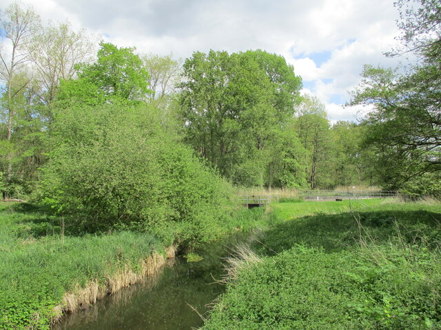
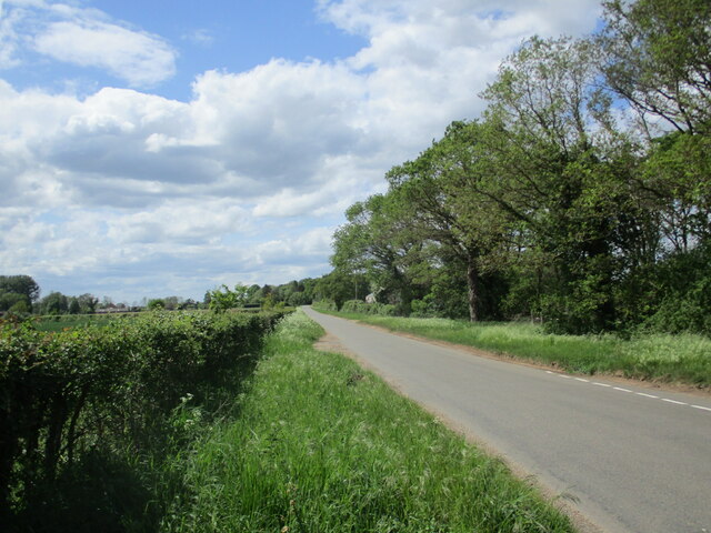
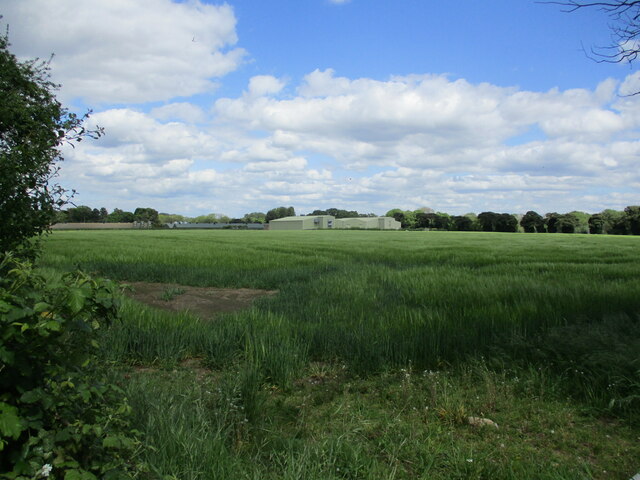
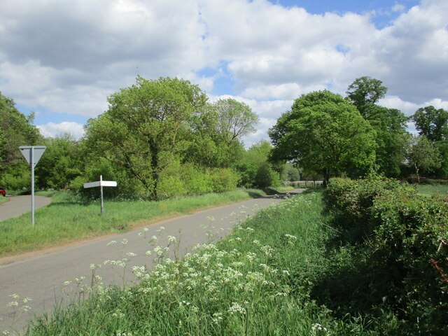
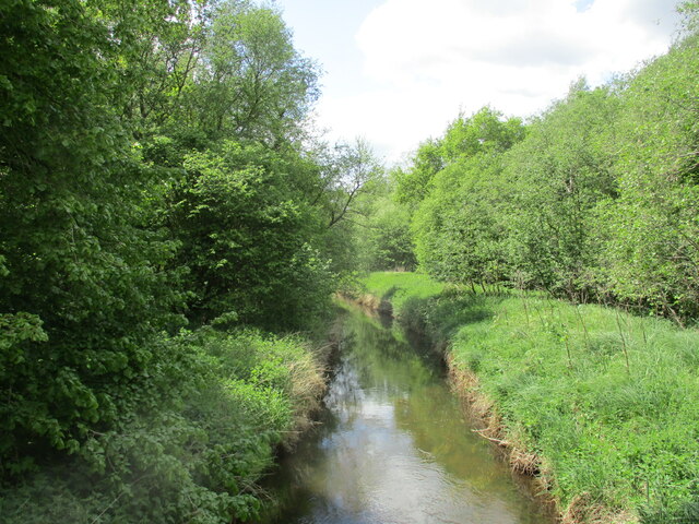
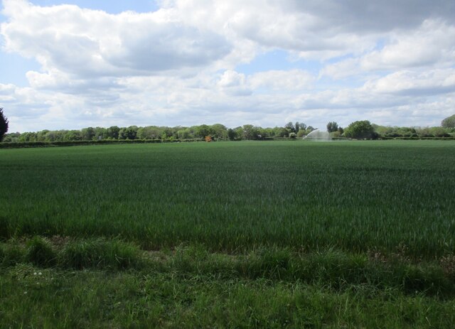
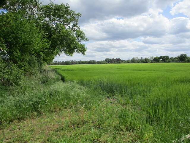
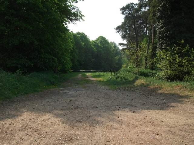
Didlington Park is a picturesque estate located in Norfolk, England. Covering a vast area of downs and moorland, it offers visitors a unique and tranquil experience in the heart of nature. The park is situated in the Breckland region, renowned for its stunning landscapes and diverse wildlife.

The downs of Didlington Park are characterized by rolling hills and open grasslands, creating a sense of vastness and serenity. Visitors can enjoy leisurely walks or hikes, immersing themselves in the beauty of the surrounding countryside. The moorland, on the other hand, offers a different experience, with its heather-covered expanses and scattered trees. This diverse habitat supports a wide range of flora and fauna, making it a haven for nature enthusiasts.

Besides its natural beauty, Didlington Park boasts a rich history. The estate was originally established in the 17th century and has been carefully preserved over the years. It is home to a stunning Georgian mansion, which stands as a testament to the grandeur of the past. The mansion is surrounded by manicured gardens, where visitors can take a leisurely stroll and admire the beautiful flower beds and ornamental features.

Additionally, Didlington Park offers various recreational activities for visitors to enjoy. It has a well-maintained golf course, providing an opportunity for golf enthusiasts to tee off amidst the stunning backdrop. The park also hosts regular events and festivals, showcasing local talent and traditions.

In conclusion, Didlington Park in Norfolk is a captivating destination for nature lovers and history buffs alike. With its downs, moorland, and grand mansion, it offers a perfect blend of natural beauty and cultural heritage. Whether one seeks solitude in the midst of nature or a taste of the past, Didlington Park is an ideal place to visit.

If you have any feedback on the listing, please let us know in the comments section below.

Didlington Park Images

Images are sourced within 2km of 52.537485/0.62255761 or Grid Reference TL7796. Thanks to Geograph Open Source API. All images are credited.

Drain near Little London Looking upstream towards the River Wissey with which it connects.
Drain near Little London
Looking upstream towards the River Wissey with which it connects.
Little London Road Looking towards Northwold.
Little London Road
Looking towards Northwold.
Barley field and Watermill Farm
Road triangle near Little London
Drain near Little London Looking downstream. This parallels the River Wissey.
Drain near Little London
Looking downstream. This parallels the River Wissey.
Irrigating a wheat field near Little London
Barley field near Beechfeidl House
Forest Track Forest track into Spring Covert near to Ickburgh, Norfolk.
Forest Track
Forest track into Spring Covert near to Ickburgh, Norfolk.
Field And Deer Deer near to Foulden, Norfolk.
Field And Deer
Deer near to Foulden, Norfolk.
Old Pre-Worboys Sign Old pre-Worboys sign at Northwold, Norfolk; for close up view see <a title="https://www.geograph.org.uk/photo/817516" href="https://www.geograph.org.uk/photo/817516">Link</a>
Old Pre-Worboys Sign
Old pre-Worboys sign at Northwold, Norfolk; for close up view see Link
St Mary the Virgin's church Cranwich This lovely little thatched church stands just off what was once the A134. Almost secreted behind trees it is well worth a visit. The round tower is Saxon and has unusual circular windows with interlaced stonework three-quarters of the way up. In the nave stands the font which is octagonal and plain, and probably early 14th c. It is difficult to age an un-carved font. There is no chancel arch, just a remnant of it left in the north wall. On the opposite side stands the Victorian pulpit.  In the chancel is a 13th c. piscina from which the date of the building can be assessed. Adjacent to it is a dropped-sill sedilia. The two are separated by the altar rail, reaching from wall to wall. The Royal Arms which hang high on the west wall, are those of George III, before 1816 when Hanover became a kingdom.
St Mary the Virgin's church Cranwich
This lovely little thatched church stands just off what was once the A134. Almost secreted behind trees it is well worth a visit. The round tower is Saxon and has unusual circular windows with interlaced stonework three-quarters of the way up. In the nave stands the font which is octagonal and plain, and probably early 14th c. It is difficult to age an un-carved font. There is no chancel arch, just a remnant of it left in the north wall. On the opposite side stands the Victorian pulpit. In the chancel is a 13th c. piscina from which the date of the building can be assessed. Adjacent to it is a dropped-sill sedilia. The two are separated by the altar rail, reaching from wall to wall. The Royal Arms which hang high on the west wall, are those of George III, before 1816 when Hanover became a kingdom.
Didlington St. Michael's church I noticed the east wall has started to crumble and is sadly neglected. It is remote, almost a mile from the nearest metalled road and within private grounds. Gargoyles stare down from the tower. Most of the structure is 14th c. with a 13th c. Victorianised chancel and a 15th c. arcade creating the south aisle. In the nave, which has been cleared of the seating, is a Norman font bowl, probably coeval with the chancel, where the services are now held. Over the north door (which has at some time been moved eastwards) is the hatchment. The altar rail, of massive marble balusters, looks completely out of place. A 13th c. trefoil piscina with engaged columns is west of a filled-in arch which may have been a double sedilia, but is most curious.
Didlington St. Michael's church
I noticed the east wall has started to crumble and is sadly neglected. It is remote, almost a mile from the nearest metalled road and within private grounds. Gargoyles stare down from the tower. Most of the structure is 14th c. with a 13th c. Victorianised chancel and a 15th c. arcade creating the south aisle. In the nave, which has been cleared of the seating, is a Norman font bowl, probably coeval with the chancel, where the services are now held. Over the north door (which has at some time been moved eastwards) is the hatchment. The altar rail, of massive marble balusters, looks completely out of place. A 13th c. trefoil piscina with engaged columns is west of a filled-in arch which may have been a double sedilia, but is most curious.
Irrigating the wheat crop at Little London, near Northwold
Poppies at the roadside
Beckett End near the reservoir
Parting of the ways at Swaffham Gap
Straw bales beside a farm track
Track lined with oak trees at Didlington
Show me another place!

Didlington Park is located at Grid Ref: TL7796 (Lat: 52.537485, Lng: 0.62255761)

Administrative County: Norfolk

District: Breckland

Police Authority: Norfolk

What 3 Words

///ketchup.heightens.values. Near Mundford, Norfolk

Related Wikis

Didlington Park Lakes

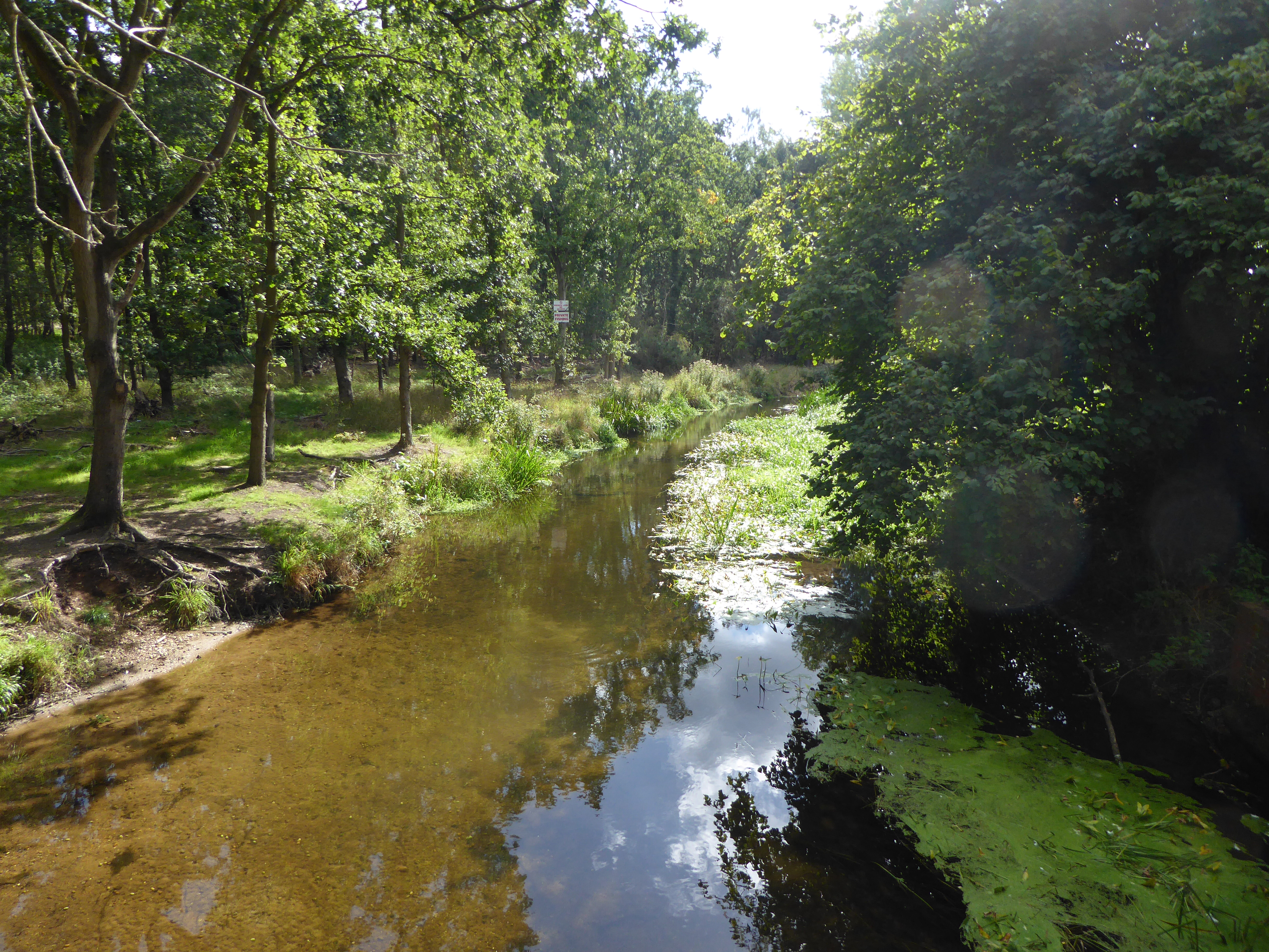
Didlington Park Lakes is a 26.1-hectare (64-acre) biological Site of Special Scientific Interest south of Didlington in Norfolk.These three artificial...

Didlington

Didlington is a village in the Breckland district of mid-Norfolk, East Anglia, England in the United Kingdom. It has an area of 11.07 km2 (4.27 sq mi)...

Cranwich

Cranwich is a village and civil parish in the English county of Norfolk, about 2 miles (3.2 km) northwest of Mundford. For the purposes of local government...

Beckett End

Beckett End is a village in Norfolk, England. The population is included in the civil parish of Foulden. == References ==

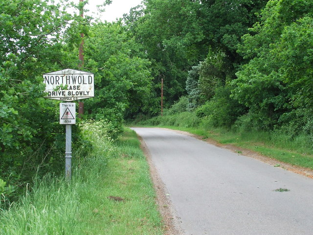
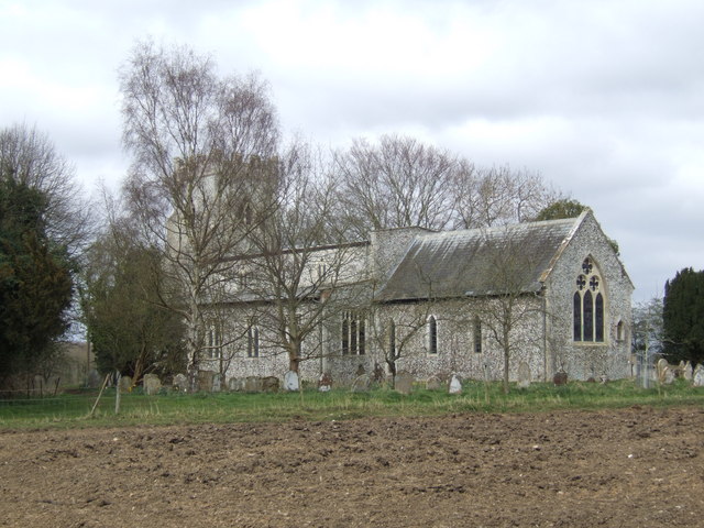
St Andrew's Church, Northwold

St Andrew's Church is an active Church of England parish church in the village of Northwold, Norfolk, England. It is a Grade I listed building. ��2...

Cranwich Camp

Cranwich Camp is a 13.1-hectare (32-acre) biological Site of Special Scientific Interest north-west of Thetford in Norfolk. It is part of the Breckland...

The Brinks, Northwold

The Brinks, Northwold or Northwold Meadows is a 16.4-hectare (41-acre) biological Site of Special Scientific Interest south of Northwold in Norfolk, England...

Foulden, Norfolk

Foulden is a village and civil parish in the English county of Norfolk. The village is located 12 miles (19 km) north west of Thetford and 29 miles (47...

Nearby Amenities

Located within 500m of 52.537485,0.62255761
The data included in this document is from www.openstreetmap.org. The data is made available under ODbL.

Have you been to Didlington Park?

Leave your review of Didlington Park below (or comments, questions and feedback).