Long Green
Downs, Moorland in Essex Braintree
England
Long Green
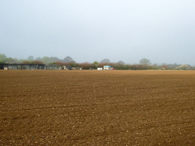
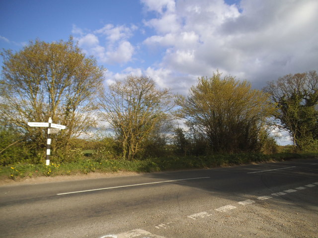
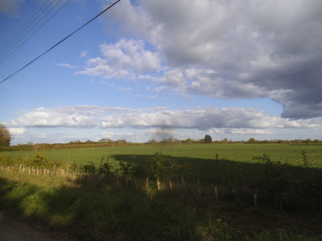
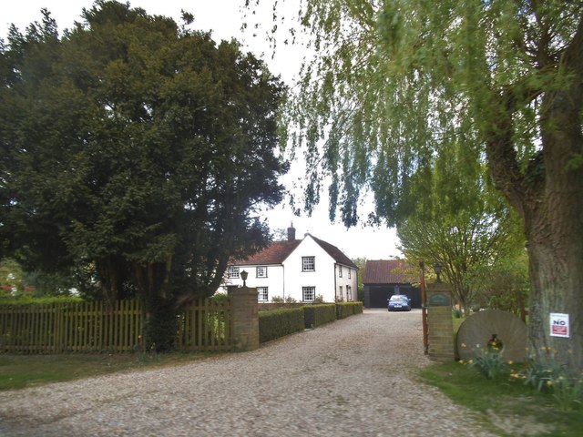
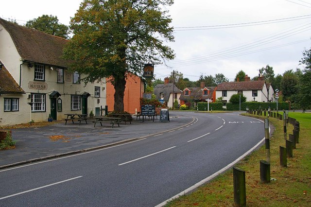
Long Green is a picturesque village located in the county of Essex, England. Situated on the edge of the Downs and Moorland, it is surrounded by breathtaking natural beauty. The village is characterized by its idyllic rural setting, with rolling hills, lush green meadows, and a tranquil atmosphere.
With a population of around 500 residents, Long Green maintains a close-knit community feel. The village is primarily residential, with a mix of charming cottages and larger, more modern homes. The architectural style is diverse, reflecting the village's rich history, with some buildings dating back several centuries.
Long Green has a few essential amenities, including a local pub that serves as a social hub for residents and visitors alike. The village also boasts a small primary school, providing education for the local children.
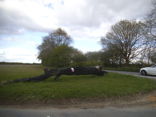
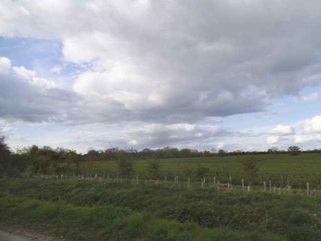
The Downs and Moorland surrounding Long Green offer ample opportunities for outdoor activities and exploration. Hiking enthusiasts can enjoy scenic walks along the rolling hills, while nature lovers can indulge in bird-watching and wildlife spotting. The area is also dotted with ancient woodlands, providing peaceful retreats for those seeking solace in nature.
Despite its rural location, Long Green benefits from good transport links, with a nearby train station connecting the village to larger towns and cities. This allows residents to easily access amenities and employment opportunities beyond the village limits.
Overall, Long Green, Essex (Downs, Moorland) is a charming village that offers a peaceful and picturesque lifestyle in the heart of the English countryside.
If you have any feedback on the listing, please let us know in the comments section below.
Long Green Images
Images are sourced within 2km of 51.914558/0.44137126 or Grid Reference TL6826. Thanks to Geograph Open Source API. All images are credited.


Long Green is located at Grid Ref: TL6826 (Lat: 51.914558, Lng: 0.44137126)
Administrative County: Essex
District: Braintree
Police Authority: Essex
What 3 Words
///chilled.terminology.stopwatch. Near Great Bardfield, Essex
Nearby Locations
Related Wikis

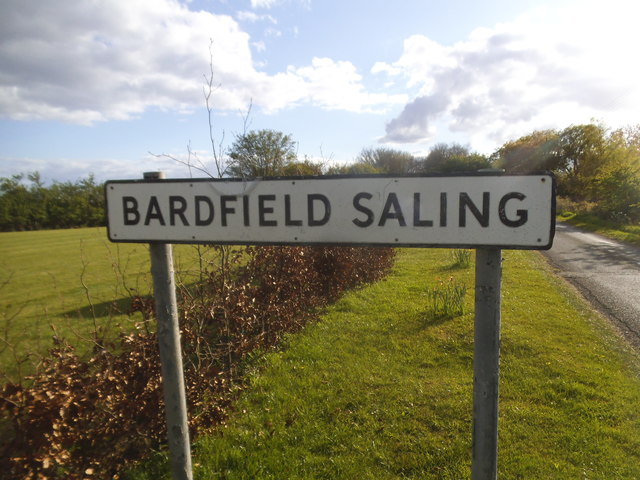
Bardfield Saling
Bardfield Saling is a village and former civil parish, now in the parish of The Salings, in the Braintree district, in the county of Essex, England. It...

The Salings
The Salings is a civil parish in the Braintree District in Essex, England. It includes Bardfield Saling and Great Saling. The civil parish has 475 inhabitants...

Andrewsfield Aerodrome
Andrewsfield Aerodrome (ICAO: EGSL) is located 4 NM (7.4 km; 4.6 mi) west northwest of Braintree, Essex, England, formerly RAF Andrews Field. Both the...
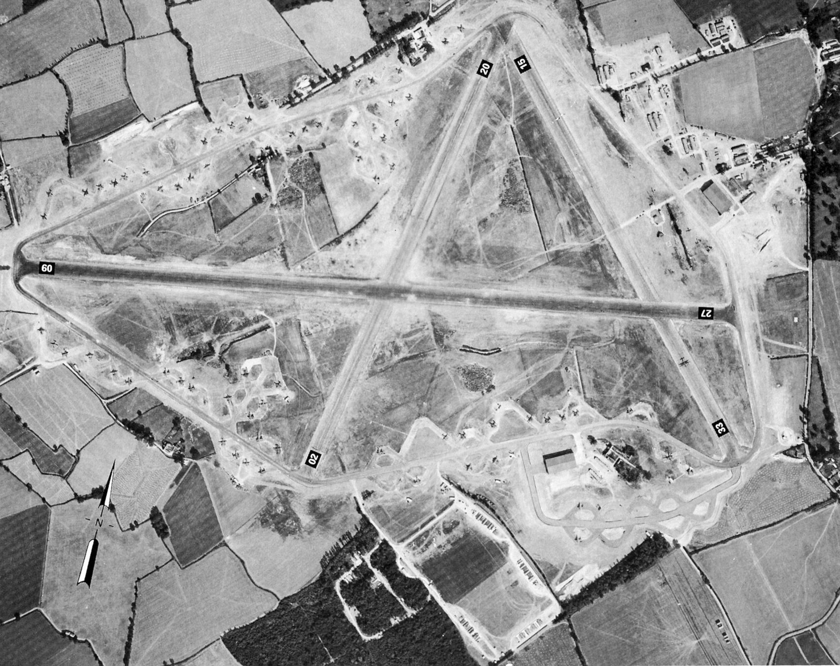
RAF Andrews Field
Royal Air Force Andrews Field or more simply RAF Andrews Field (also known as RAF Andrewsfield and RAF Great Saling) is a former Royal Air Force station...
Great Saling
Great Saling is a village and former civil parish, now in the parish of The Salings, in the Braintree district of the county of Essex, England. The population...

Oxen End
Oxen End is a hamlet on the B1057 road, in the Uttlesford District, in the English county of Essex. It is located a few miles from the village of Great...

Stebbing
Stebbing is a small village in the Uttlesford district of northern Essex, England. The village is situated north of the ancient Roman road Stane Street...

Stebbing Green
Stebbing Green is a hamlet in the Uttlesford district, in the county of Essex. It is near the village of Stebbing; its post town is Dunmow. It is near...
Nearby Amenities
Located within 500m of 51.914558,0.44137126Have you been to Long Green?
Leave your review of Long Green below (or comments, questions and feedback).