Fort Road Common

Downs, Moorland in Essex

England

Fort Road Common

Tilbury Fort, Tilbury Riverside, Essex Built during the Napoleonic War to protect London from invasion. Now run by English Heritage.
Tilbury Fort, Tilbury Riverside, Essex Credit: John Winfield

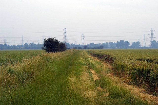
Fort Road Common is a picturesque natural reserve located in Essex, England. Covering a vast area of downs and moorland, the common offers a diverse and beautiful landscape that attracts visitors from near and far.

Spanning over 100 acres, Fort Road Common is known for its rolling hills, open grasslands, and heathland. The common is home to a wide variety of plant and animal species, making it a popular spot for nature enthusiasts and wildlife photographers. Visitors can expect to see an array of wildflowers, including orchids, heathers, and gorse, which paint the common in vibrant colors during the spring and summer months.

The diverse habitat of Fort Road Common provides a sanctuary for various bird species, including skylarks, stonechats, and kestrels. In addition, the common is also home to a number of small mammals, such as rabbits and voles, as well as reptiles like adders and common lizards.

The common offers several walking trails and footpaths, allowing visitors to explore its beauty at their own pace. These pathways lead visitors through the different habitats, providing breathtaking views of the surrounding countryside.

Fort Road Common is an important conservation area, managed by the local authorities to protect its unique natural features. It also serves as a recreational space for the local community, providing opportunities for outdoor activities such as picnicking, dog walking, and birdwatching. This serene and tranquil common offers a peaceful escape from the hustle and bustle of city life, making it a cherished gem in the heart of Essex.

If you have any feedback on the listing, please let us know in the comments section below.

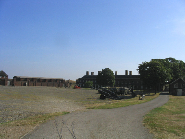
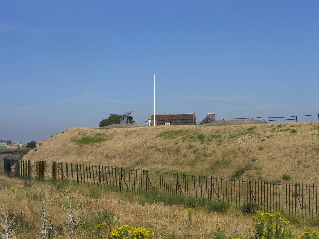
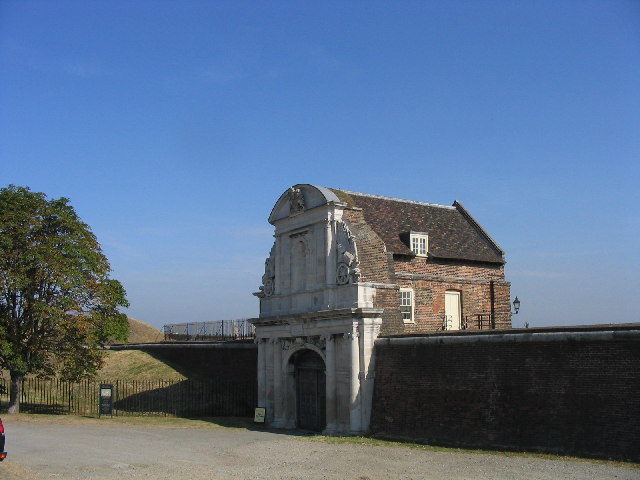
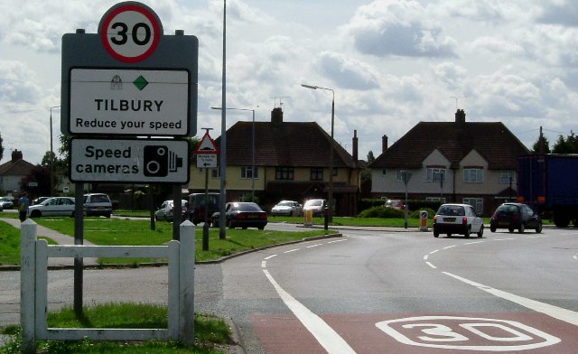
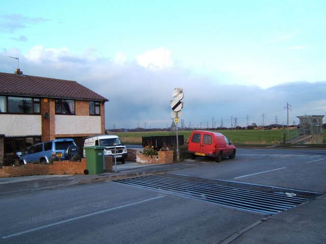
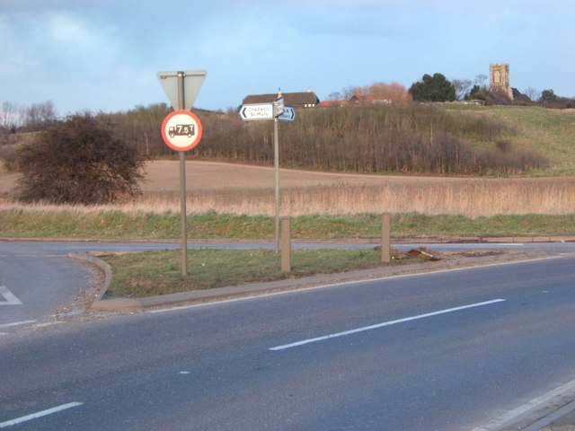
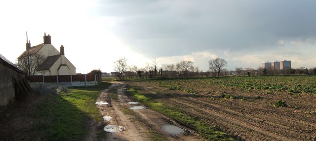
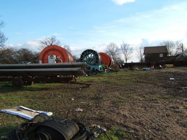
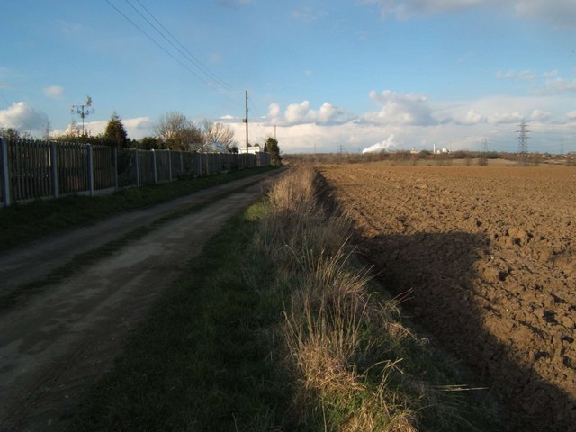
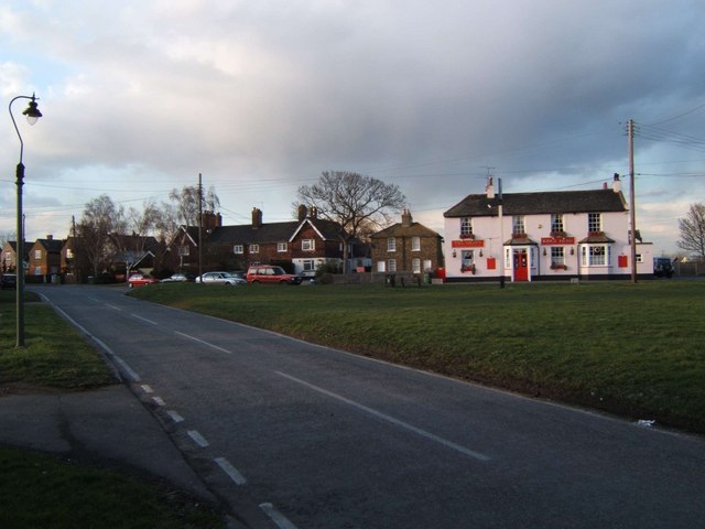
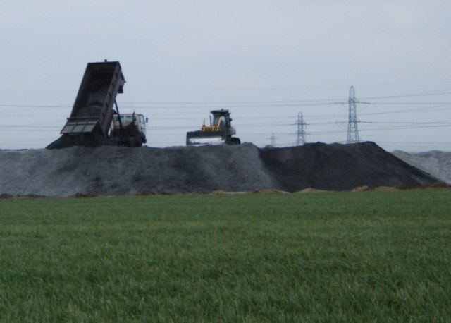
Fort Road Common Images

Images are sourced within 2km of 51.470775/0.38249368 or Grid Reference TQ6577. Thanks to Geograph Open Source API. All images are credited.

Tilbury Fort, Tilbury Riverside, Essex Built during the Napoleonic War to protect London from invasion. Now run by English Heritage.
Tilbury Fort, Tilbury Riverside, Essex
Built during the Napoleonic War to protect London from invasion. Now run by English Heritage.
Gun emplacements, Tilbury Fort, Essex
The Gatehouse, Tilbury Fort, Essex
Tilbury Civic Square and War Memorial The buildings to the left are Thurrock Council offices. The square also boasts the fire station police station and a sports centre. The war memorial inscription reads "May Justice Mercy & Peace Prevail Amongst Nations". I will second that, there is nothing glorious about being dead in my opinion.
Tilbury Civic Square and War Memorial
The buildings to the left are Thurrock Council offices. The square also boasts the fire station police station and a sports centre. The war memorial inscription reads "May Justice Mercy & Peace Prevail Amongst Nations". I will second that, there is nothing glorious about being dead in my opinion.
St Mary 's Chadwell St Mary St Mary's stands on a hill with commanding views across the countryside towards Tilbury.
St Mary 's Chadwell St Mary
St Mary's stands on a hill with commanding views across the countryside towards Tilbury.
Bend on A126 Tilbury Junction of A126 from Chadwell to Tilbury and a minor road onto an estate of 1930’s council houses (many private these days). Examples of these can be seen in the background.
Bend on A126 Tilbury
Junction of A126 from Chadwell to Tilbury and a minor road onto an estate of 1930’s council houses (many private these days). Examples of these can be seen in the background.
Brennan Rd Tilbury A cattle grid is not the first road feature that springs to mind when one thinks of Tilbury! However this end of Brennan Rd Tilbury is protected from bovine invasion. The junction is with Fort Rd. The concrete structure on the right is a sluice gate.
Brennan Rd Tilbury
A cattle grid is not the first road feature that springs to mind when one thinks of Tilbury! However this end of Brennan Rd Tilbury is protected from bovine invasion. The junction is with Fort Rd. The concrete structure on the right is a sluice gate.
Junction in the Marshes This is the junction of Fort Rd, Gun Hill and Coopers Shaw in West Tilbury Marshes. The church on the Hill in the background is St James Low Street. It is now redundant as a church, planning permission has been sought to convert it into a dwelling.
Junction in the Marshes
This is the junction of Fort Rd, Gun Hill and Coopers Shaw in West Tilbury Marshes. The church on the Hill in the background is St James Low Street. It is now redundant as a church, planning permission has been sought to convert it into a dwelling.
High House Farm This is High House a farm between Chadwell St Mary & Lindford. The towers <a href="https://www.geograph.org.uk/photo/42309">TQ6479 : “Three So Wild in Their Attire”</a> are in Chadwell.
High House Farm
This is High House a farm between Chadwell St Mary & Lindford. The towers TQ6479 : “Three So Wild in Their Attire” are in Chadwell.
Rain Not Required! This irrigation equipment is on Mill House Farm West Tilbury
Rain Not Required!
This irrigation equipment is on Mill House Farm West Tilbury
Driveway to Becksland This is the driveway to Becksland a farm near Linford
Driveway to Becksland
This is the driveway to Becksland a farm near Linford
West Tilbury Village Green This is the village green at West Tilbury. The GR is for the King's Head pub sign.
West Tilbury Village Green
This is the village green at West Tilbury. The GR is for the King's Head pub sign.
The Price of Power? At this point Tilbury Marshes appear to be vanishing under furnace ash from <a href="https://www.geograph.org.uk/photo/26771">TQ6675 : Tilbury Power Station, Tilbury, Essex</a>
The Price of Power?
At this point Tilbury Marshes appear to be vanishing under furnace ash from TQ6675 : Tilbury Power Station, Tilbury, Essex
Piles of Pylons These pylons distribute the power from <a href="https://www.geograph.org.uk/photo/26771">TQ6675 : Tilbury Power Station, Tilbury, Essex</a>. The photo was taken from <a href="https://www.geograph.org.uk/photo/191226">TQ6676 : Manor Way</a>
Piles of Pylons
These pylons distribute the power from TQ6675 : Tilbury Power Station, Tilbury, Essex. The photo was taken from TQ6676 : Manor Way
Manor Way This is the Manor Way in West Tilbury Marshes, it is a farm track that runs from Walnut Tree Farm TQ667776 to the photographer position. Although used by walkers it does not appear to be a right of way.
Manor Way
This is the Manor Way in West Tilbury Marshes, it is a farm track that runs from Walnut Tree Farm TQ667776 to the photographer position. Although used by walkers it does not appear to be a right of way.
Tilbury power station This picture was taken on a footpath which runs around Tilbury Fort.  A ship can be seen offloading fuel for the power station, which traditionally burns coal, but is now also experimenting with biomass fuels.
Tilbury power station
This picture was taken on a footpath which runs around Tilbury Fort. A ship can be seen offloading fuel for the power station, which traditionally burns coal, but is now also experimenting with biomass fuels.
Tilbury: Wellington Road Post-war housing development.
Tilbury: Wellington Road
Post-war housing development.
Tilbury Power Station Taken from the river frontage at Gravesend
Tilbury Power Station
Taken from the river frontage at Gravesend
Show me another place!

Fort Road Common is located at Grid Ref: TQ6577 (Lat: 51.470775, Lng: 0.38249368)

Unitary Authority: Thurrock

Police Authority: Essex

What 3 Words

///guess.tuned.flag. Near Chadwell St Mary, Essex

Related Wikis

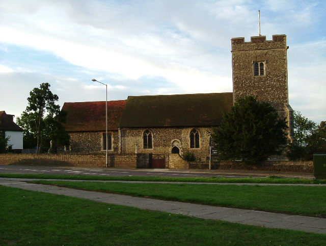
St James' Church, West Tilbury

The church of St James is a grade II* listed former parish church in West Tilbury. It is constructed from flint and rubble and was restored by W Benton...

Biggin, Essex

Biggin is a hamlet and manor in Chadwell St Mary, part of the borough of Thurrock, in the ceremonial county of Essex, England. It is about 2 miles (3.2...

West Tilbury

West Tilbury is a village and former civil parish in the Thurrock district, in the ceremonial county of Essex, England. It is on the top of and on the...

Tilbury F.C.

Tilbury Football Club is a football club based in Tilbury, Thurrock, England. The club play in black and white stripes, are currently members of the Essex...

Low Street railway station

Low Street railway station was on the Tilbury loop line segment of the London, Tilbury and Southend line, at a level crossing near the villages of West...

The Gateway Academy

The Gateway Academy, formerly The Gateway Community College, is a coeducational academy secondary school in Grays, Essex, England. It became an academy...

Chadwell St Mary

Chadwell St Mary is an area of the unitary authority of Thurrock in Essex, England. It is one of the traditional (Church of England) parishes in Thurrock...

St Mary's Church, Chadwell St Mary

The Church of St Mary is a Church of England parish church in Chadwell St Mary, Thurrock, Essex. The church is a Grade I listed building. Together with...

Nearby Amenities

Located within 500m of 51.470775,0.38249368
The data included in this document is from www.openstreetmap.org. The data is made available under ODbL.

Have you been to Fort Road Common?

Leave your review of Fort Road Common below (or comments, questions and feedback).