Larman's Fen

Downs, Moorland in Norfolk King's Lynn and West Norfolk

England

Larman's Fen

Decoy Road, Southery
Decoy Road, Southery Credit: David Howard

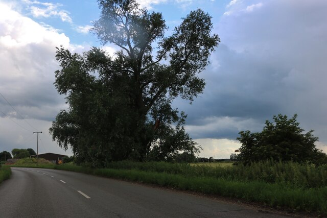
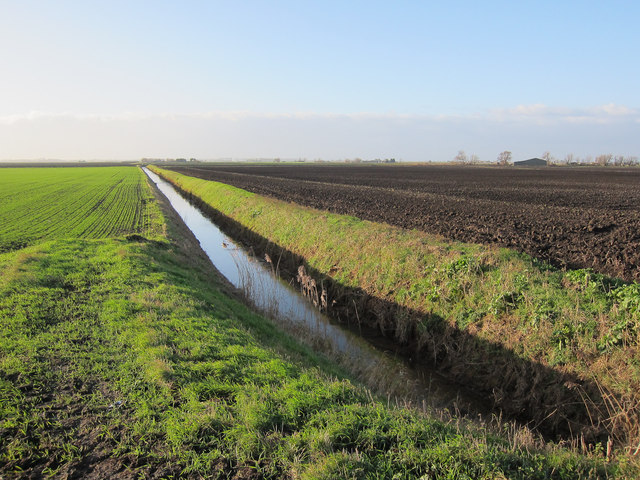
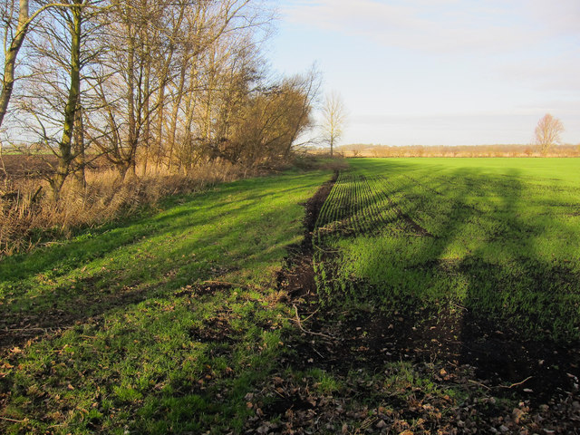
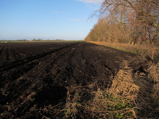
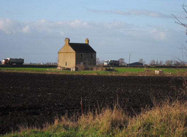
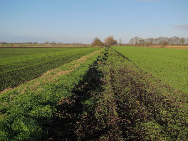
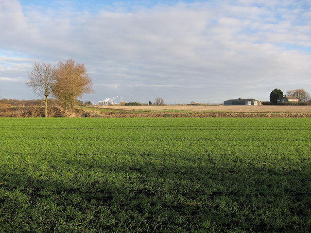
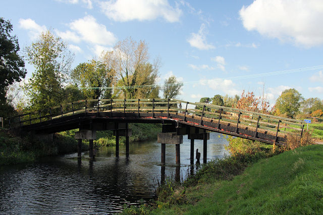
Larman's Fen is a picturesque nature reserve located in Norfolk, England. Covering an area of approximately 200 acres, it is a diverse and ecologically important site. The fen is characterized by its wetland habitat, consisting of marshes, reed beds, and open water areas.

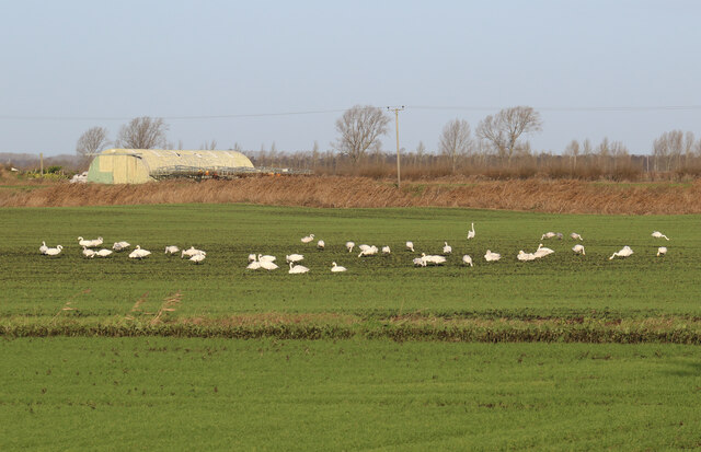
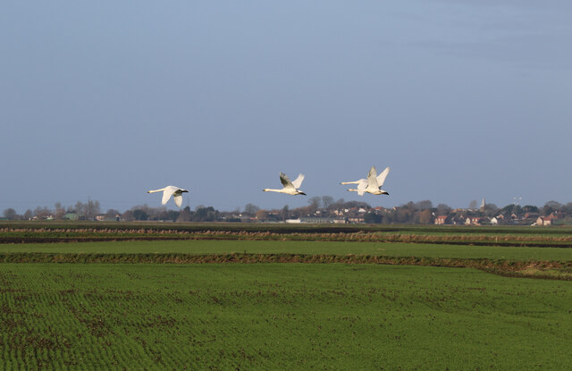
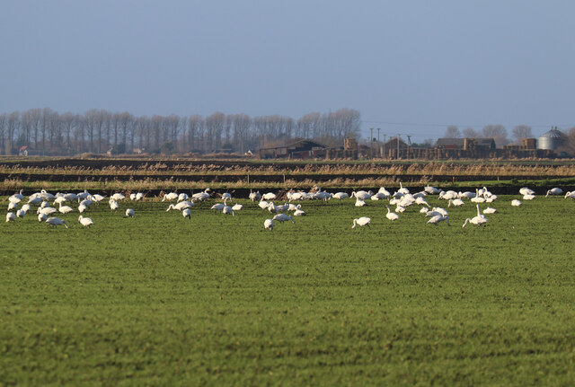
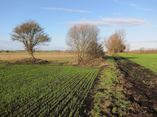
The reserve is home to a wide range of plant and animal species, making it a haven for nature enthusiasts and birdwatchers. Rare and protected species such as the bittern, bearded tit, and marsh harrier can be spotted here, attracting bird lovers from near and far. The fen also supports a rich diversity of plant life, including various species of orchids, sedges, and rushes.

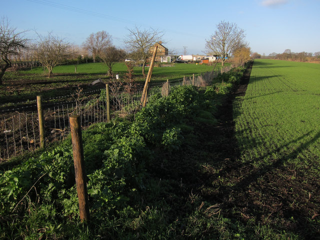
The landscape of Larman's Fen is dotted with small ponds and channels, which provide habitats for amphibians and insects. Dragonflies and damselflies can be seen darting around the water's edge during the summer months, adding to the fen's charm and biodiversity.

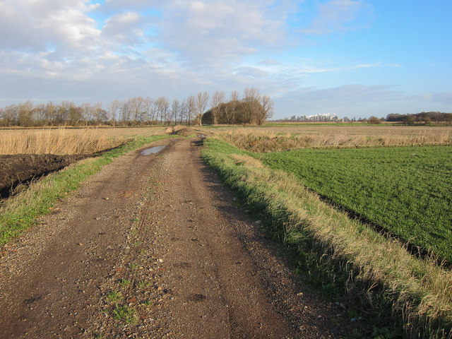
Visitors to Larman's Fen can explore the reserve on well-maintained footpaths and boardwalks, allowing them to experience the wetland environment up close while minimizing disturbance to the delicate habitat. Interpretive signs and information boards are available throughout the site, providing educational insights into the flora and fauna of the fen.

In addition to its natural beauty, Larman's Fen also plays an important role in flood prevention, acting as a natural sponge by absorbing excess water during heavy rainfall. This makes it a vital part of the local ecosystem and a valuable asset to the surrounding communities.

Overall, Larman's Fen is a precious and protected area of Norfolk, offering visitors a unique opportunity to immerse themselves in the beauty of nature and witness the wonders of wetland biodiversity.

If you have any feedback on the listing, please let us know in the comments section below.
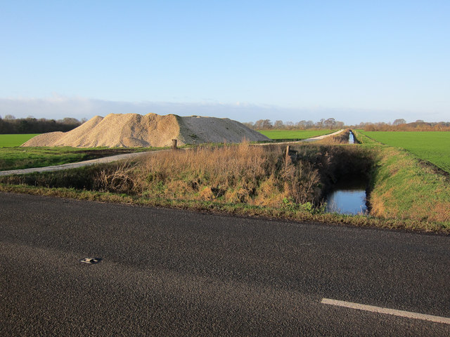
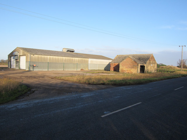
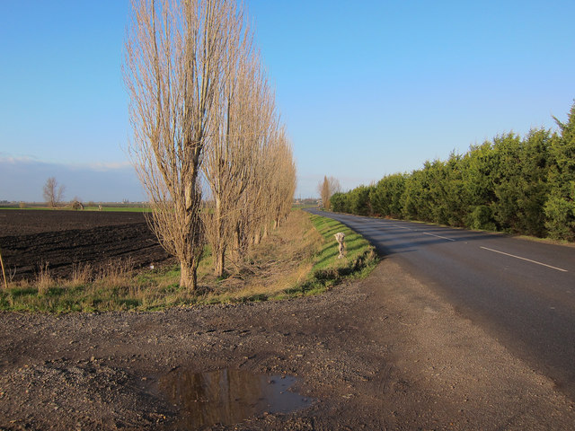
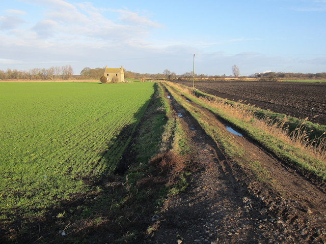
Larman's Fen Images

Images are sourced within 2km of 52.515929/0.43326689 or Grid Reference TL6593. Thanks to Geograph Open Source API. All images are credited.

Decoy Road, Southery
Whooper Swans by Poppylot Farm Wild swans winter on the Ouse Washes and feed on the fields in the Fens. Whooper Swans from Iceland are increasing rapidly, while Bewick's Swans from Arctic Russia are declining rapidly.
Whooper Swans by Poppylot Farm
Wild swans winter on the Ouse Washes and feed on the fields in the Fens. Whooper Swans from Iceland are increasing rapidly, while Bewick's Swans from Arctic Russia are declining rapidly.
Whooper Swan family over Methwold Fens The area is often good for wild swans feeding in the fields. Now mostly Whooper Swans as they increase rapidly and Bewick's Swans decrease.
Whooper Swan family over Methwold Fens
The area is often good for wild swans feeding in the fields. Now mostly Whooper Swans as they increase rapidly and Bewick's Swans decrease.
Whooper Swans by Poppylot Farm The area is often good for wild swans feeding in the fields. Now mostly Whooper Swans as they increase rapidly and Bewick's Swans decrease.
Whooper Swans by Poppylot Farm
The area is often good for wild swans feeding in the fields. Now mostly Whooper Swans as they increase rapidly and Bewick's Swans decrease.
Ditch off B1160
Ditch off B1160
Decoy Farm On the B1160.
Decoy Farm
On the B1160.
B1160 to Southery Past De-Creke Farm.
B1160 to Southery
Past De-Creke Farm.
Abandoned farm building Off the B1160.
Abandoned farm building
Off the B1160.
Ditch off Feltwell Road
Bridleway along farm track Not signed, as you'd expect in the Fens, but a good surface (which is distinctly more unusual)
Bridleway along farm track
Not signed, as you'd expect in the Fens, but a good surface (which is distinctly more unusual)
Gated bridleway There is a route around the edge, just about.
Gated bridleway
There is a route around the edge, just about.
Not cycle route 30 Marked on the current 1:50000 map as such but signed on the ground as following the road. This is a bridleway but cycling on the soft peaty soil is extremely hard even for a short distance. There can't have been a site visit before it was assigned as an off road cycle route.
Not cycle route 30
Marked on the current 1:50000 map as such but signed on the ground as following the road. This is a bridleway but cycling on the soft peaty soil is extremely hard even for a short distance. There can't have been a site visit before it was assigned as an off road cycle route.
Not cycle route 30 Marked on the 1:50000 map as cycle route 30 but sensibly signed along the road. It would be nice if it did come this way as it would avoid the A10 and the sugar beet lorries <a href="https://www.geograph.org.uk/photo/2762453">TL6494 : Abandoned farm building</a> but the soft peaty soil is not suitable for cycling (I tried a few times but never got very far).
Not cycle route 30
Marked on the 1:50000 map as cycle route 30 but sensibly signed along the road. It would be nice if it did come this way as it would avoid the A10 and the sugar beet lorries TL6494 : Abandoned farm building but the soft peaty soil is not suitable for cycling (I tried a few times but never got very far).
Dark Fenland soil Very soft peaty soil.
Dark Fenland soil
Very soft peaty soil.
Abandoned farm building With a couple of sugar beet lorries on their way to Wissington Sugar Factory.
Abandoned farm building
With a couple of sugar beet lorries on their way to Wissington Sugar Factory.
Bridleway past Southery This is marked on the 1:50000 map as cycle route 30 but it's hard work to ride on this extremely soft peaty soil. It is signed along the road, and this isn't signed at all as a bridleway.
Bridleway past Southery
This is marked on the 1:50000 map as cycle route 30 but it's hard work to ride on this extremely soft peaty soil. It is signed along the road, and this isn't signed at all as a bridleway.
Looking towards Wissington Sugar Factory The plume of the sugar factory can be seen from many parts of the north-east Fens.
Looking towards Wissington Sugar Factory
The plume of the sugar factory can be seen from many parts of the north-east Fens.
Bridleway past De-Creke Farm Not signed and hard to ride on a bike. The road is the alternative (and the way cycle route 30 is signed, despite what some maps say) but then there are sugar beet lorries to contend with, and probably a short stretch of the A10.
Bridleway past De-Creke Farm
Not signed and hard to ride on a bike. The road is the alternative (and the way cycle route 30 is signed, despite what some maps say) but then there are sugar beet lorries to contend with, and probably a short stretch of the A10.
Show me another place!

Larman's Fen is located at Grid Ref: TL6593 (Lat: 52.515929, Lng: 0.43326689)

Administrative County: Norfolk

District: King's Lynn and West Norfolk

Police Authority: Norfolk

What 3 Words

///blasted.cooked.conga. Near Southery, Norfolk

Nearby Locations

Larman's Fen

Related Wikis

Southery

Southery is a village and civil parish in Norfolk, England, which covers an area of 18.12 km2 (7.00 sq mi) and had a population of 1,324 at the 2011 Census...

Wissington, Norfolk

Wissington in Norfolk is the site of British Sugar's largest sugar factory in the UK; it is also the largest in Europe. There has been a sugar factory...

River Little Ouse

The River Little Ouse, also known as the Brandon River, is a river in the east of England, a tributary of the River Great Ouse. For much of its length...

Modeney Priory

Modeney Priory—also spelled Modney and Modeny—was a Benedictine priory in the civil parish of Hilgay, Norfolk, England. Located less than a mile east of...

Francis Fane, 1st Earl of Westmorland

Francis Fane, 1st Earl of Westmorland (1 February 1580 – 23 March 1629), (styled Sir Francis Fane between 1603 and 1624) of Mereworth in Kent and of Apethorpe...

Little Ouse, Cambridgeshire

Little Ouse is a hamlet in Littleport parish, East Cambridgeshire, England, about 3.5 miles (6 km) north-east of Littleport village. It lies on the left...

Slevesholm Priory

Slevesholm Priory was a Cluniac priory in the civil parish of Methwold, Norfolk, England, that was dedicated to St. Mary and St. Giles. A cell of the Castle...

Hilgay

Hilgay is a village and civil parish in Norfolk, England, 4 miles (6.4 km) from Downham Market. It covers an area of 33.38 km2 (12.89 sq mi) and had a...

Have you been to Larman's Fen?

Leave your review of Larman's Fen below (or comments, questions and feedback).