West Dereham Fen
Downs, Moorland in Norfolk King's Lynn and West Norfolk
England
West Dereham Fen
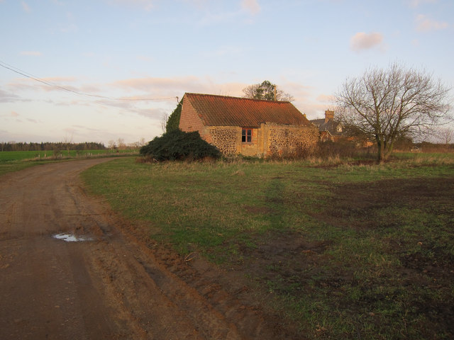
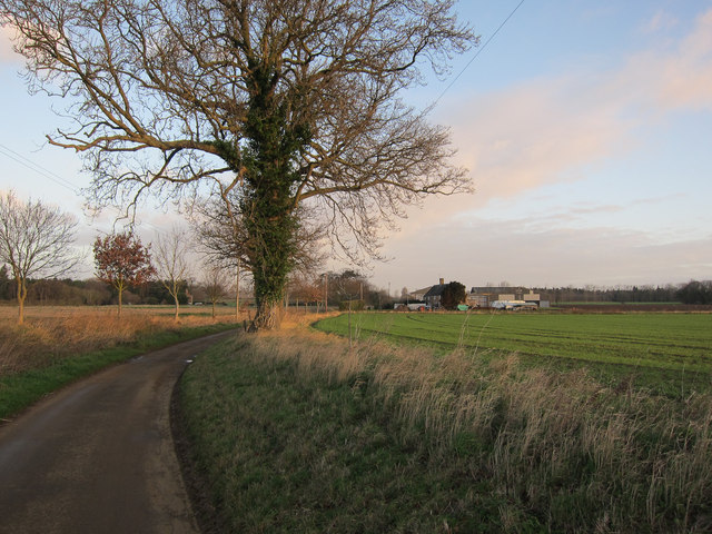
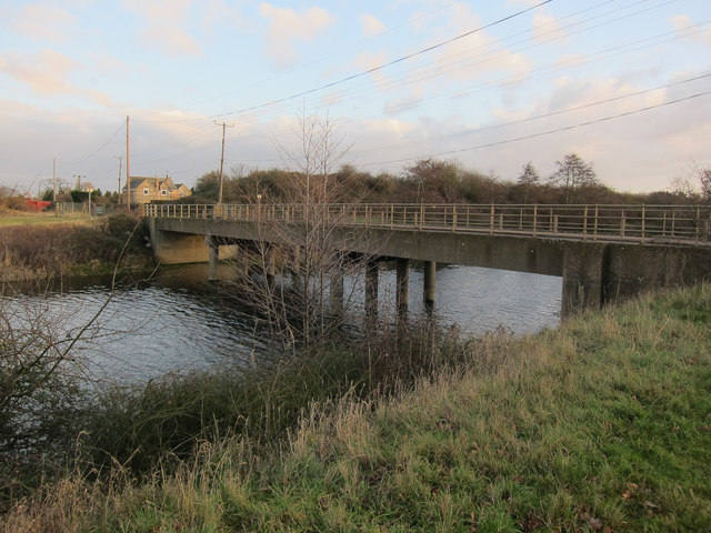
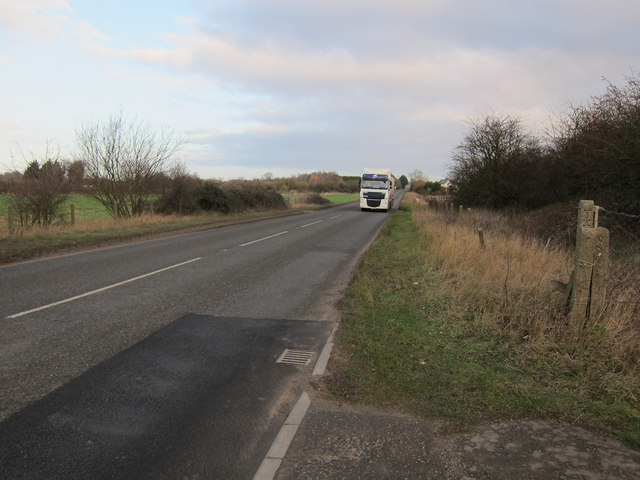
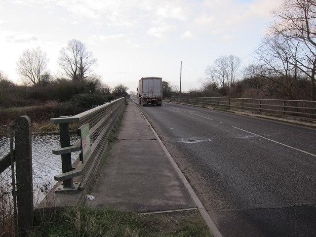
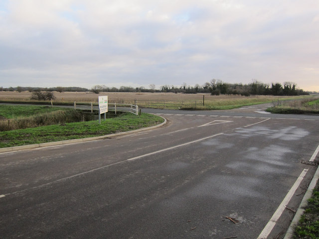
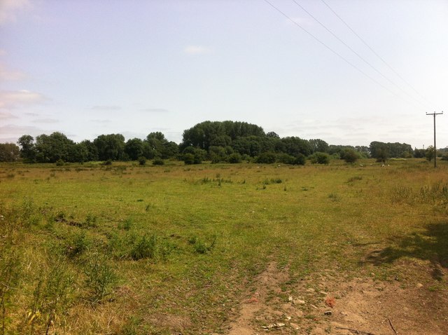
West Dereham Fen is a vast and diverse wetland located in the county of Norfolk, England. Covering an area of approximately 1,000 hectares, it is an essential part of the Norfolk Fens, which is renowned for its unique and fragile ecosystem.
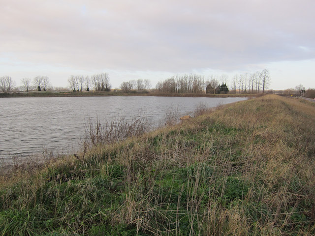
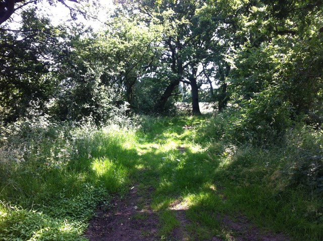
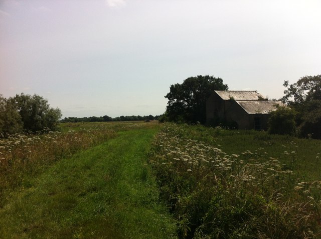
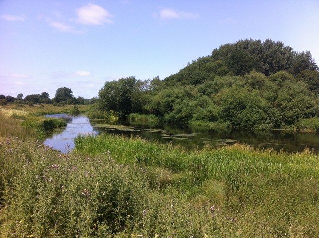
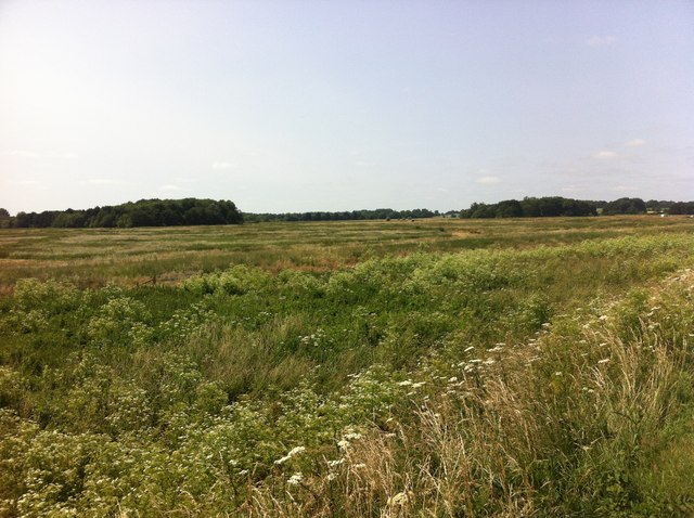
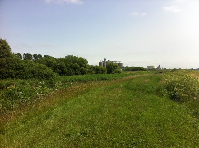
The fen is characterized by its flat terrain, consisting of low-lying marshes, peat bogs, and shallow lakes. These wetlands are home to a wide variety of plant and animal species, making it a significant site of ecological importance. The area is particularly known for its rich birdlife, with numerous species of waterfowl, wading birds, and raptors found here throughout the year.
The fenland supports a diverse range of vegetation, including reedbeds, sedges, and grasses, which provide crucial habitat for many species. In addition, there are areas of woodland and scrub, adding to the overall biodiversity of the site.
West Dereham Fen has a long history of human activity, with evidence of human settlement dating back to the Bronze Age. The area has been managed for centuries, with a combination of grazing, reed cutting, and peat extraction shaping the landscape. Today, the fen is protected as a Site of Special Scientific Interest (SSSI) and managed by various conservation organizations, aiming to preserve its unique ecological value.
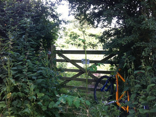
The fen is a popular destination for nature enthusiasts, offering opportunities for birdwatching, walking, and wildlife photography. Interpretive boards and footpaths provide visitors with information about the area's flora, fauna, and cultural heritage. The tranquil and remote nature of the fen makes it a haven for those seeking solace in the natural world.
If you have any feedback on the listing, please let us know in the comments section below.
West Dereham Fen Images
Images are sourced within 2km of 52.560264/0.43479084 or Grid Reference TL6598. Thanks to Geograph Open Source API. All images are credited.
West Dereham Fen is located at Grid Ref: TL6598 (Lat: 52.560264, Lng: 0.43479084)
Administrative County: Norfolk
District: King's Lynn and West Norfolk
Police Authority: Norfolk
What 3 Words
///finders.innovate.decisions. Near Southery, Norfolk
Nearby Locations
Related Wikis

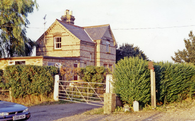
Abbey and West Dereham railway station
Abbey and West Dereham railway station was a railway station on the line between Downham Market and Stoke Ferry. It served the village of West Dereham...

Wissington, Norfolk
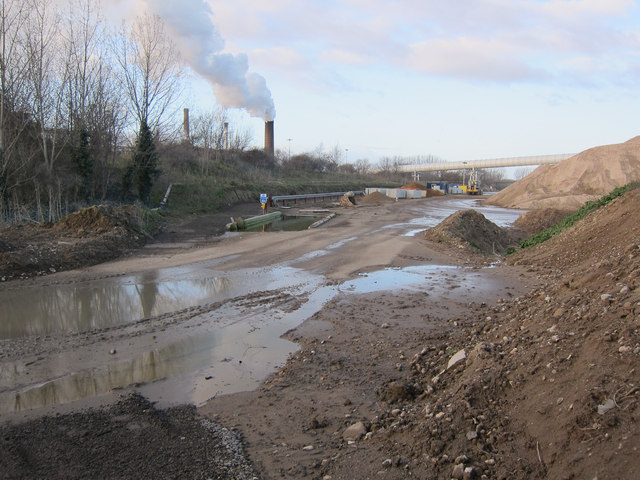
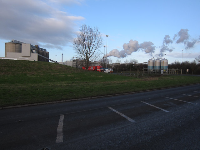
Wissington in Norfolk is the site of British Sugar's largest sugar factory in the UK; it is also the largest in Europe. There has been a sugar factory...

Hilgay Heronry
Hilgay Heronry is a 1.8-hectare (4.4-acre) biological Site of Special Scientific Interest south of Downham Market in Norfolk.This small wood has a nationally...

Downham Rural District
Downham Rural District was a rural district in Norfolk, England from 1894 to 1974.It was formed under the Local Government Act 1894 based on the Downham...
Have you been to West Dereham Fen?
Leave your review of West Dereham Fen below (or comments, questions and feedback).