North Runcton Common

Downs, Moorland in Norfolk King's Lynn and West Norfolk

England

North Runcton Common

Looking from Westland Chase into Gravelhill Lane During a great walking week-end in Norfolk with two friends from my school days (1972 - 1979) there were times when I nipped off in the car to look at churches and other historical features: these are they!
Looking from Westland Chase into Gravelhill Lane Credit: Basher Eyre

North Runcton Common is a picturesque area located in Norfolk, England. Covering an area of approximately 80 acres, it is a diverse landscape that includes downs, moorland, and a range of wildlife habitats. The common is situated near the village of North Runcton and is highly valued by both locals and visitors for its natural beauty and tranquil atmosphere.

The common is characterized by its gently undulating terrain, with open grasslands and heathlands dominating the landscape. These downs provide a habitat for a variety of plant species, including heather, gorse, and grasses, which bloom in vibrant colors throughout the year. The moorland areas are interspersed with small ponds and marshes, creating a haven for amphibians, waterfowl, and other wetland creatures.

The common is also home to a diverse range of wildlife, with numerous bird species, such as skylarks and meadow pipits, making it their nesting ground. Additionally, small mammals like rabbits, foxes, and stoats can be spotted within the common's boundaries. Visitors can enjoy leisurely walks along the well-maintained paths, taking in the breathtaking views and observing the local flora and fauna.

North Runcton Common is a designated Site of Special Scientific Interest (SSSI), acknowledging its importance in terms of conservation and preservation. The common offers a tranquil getaway from the hustle and bustle of everyday life, providing an opportunity for visitors to reconnect with nature and enjoy the beauty of Norfolk's countryside.

If you have any feedback on the listing, please let us know in the comments section below.

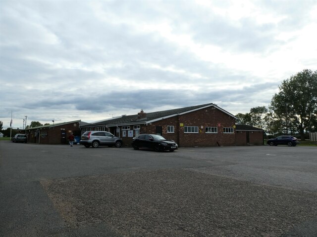
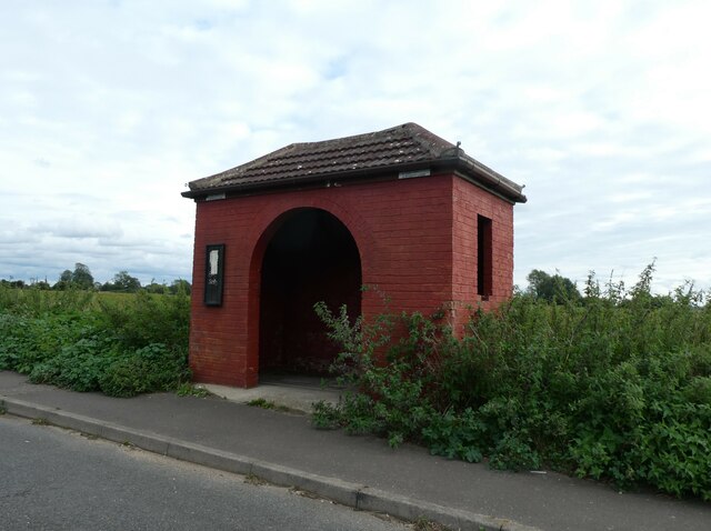
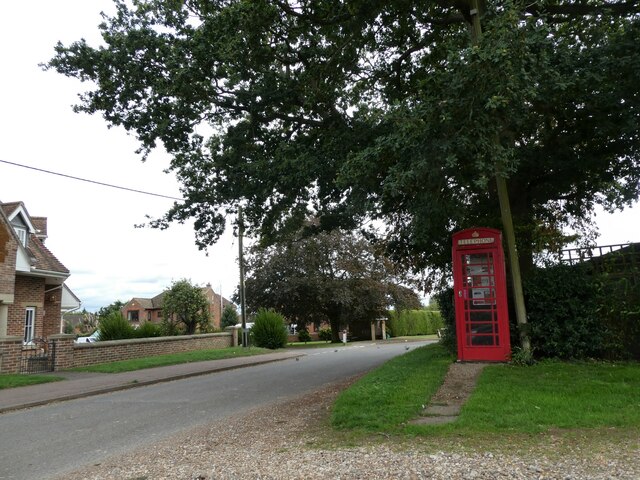
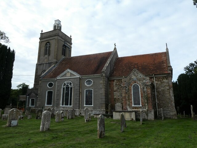
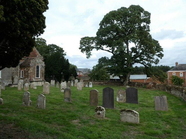
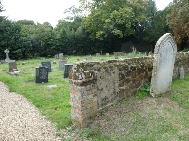
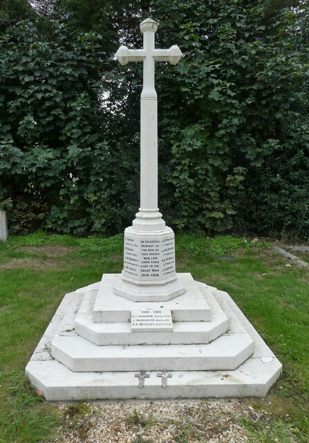
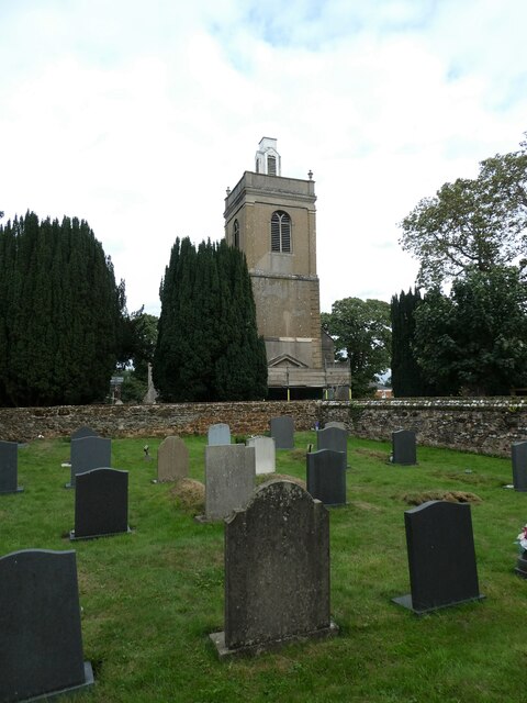
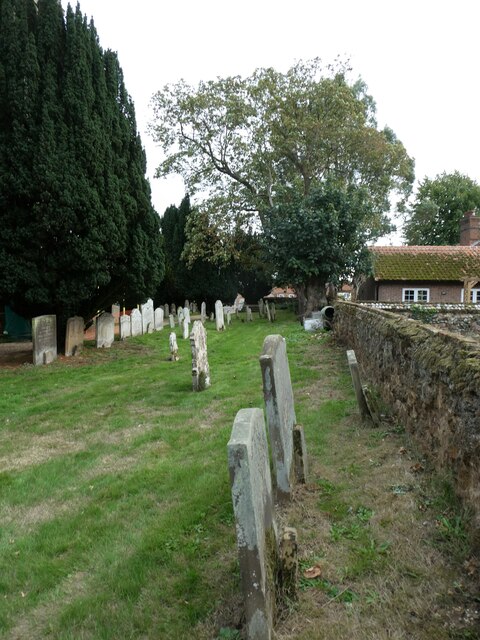
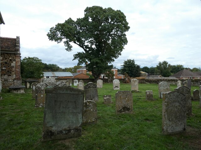
North Runcton Common Images

Images are sourced within 2km of 52.709234/0.4272674 or Grid Reference TF6415. Thanks to Geograph Open Source API. All images are credited.

Looking from Westland Chase into Gravelhill Lane During a great walking week-end in Norfolk with two friends from my school days (1972 - 1979) there were times when I nipped off in the car to look at churches and other historical features: these are they!
Looking from Westland Chase into Gravelhill Lane
During a great walking week-end in Norfolk with two friends from my school days (1972 - 1979) there were times when I nipped off in the car to look at churches and other historical features: these are they!
William Burt Centre, West Winch: mid-September 2022 During a great walking week-end in Norfolk with two friends from my school days (1972 - 1979) there were times when I nipped off in the car to look at churches and other historical features: these are they!
William Burt Centre, West Winch: mid-September 2022
During a great walking week-end in Norfolk with two friends from my school days (1972 - 1979) there were times when I nipped off in the car to look at churches and other historical features: these are they!
Bus stop in Rectory Lane During a great walking week-end in Norfolk with two friends from my school days (1972 - 1979) there were times when I nipped off in the car to look at churches and other historical features: these are they!
Bus stop in Rectory Lane
During a great walking week-end in Norfolk with two friends from my school days (1972 - 1979) there were times when I nipped off in the car to look at churches and other historical features: these are they!
North Runcton Cricket Club: mid-September 2022 During a great walking week-end in Norfolk with two friends from my school days (1972 - 1979) there were times when I nipped off in the car to look at churches and other historical features: these are they!
North Runcton Cricket Club: mid-September 2022
During a great walking week-end in Norfolk with two friends from my school days (1972 - 1979) there were times when I nipped off in the car to look at churches and other historical features: these are they!
Junction of Gravelhill Lane and Oak Avenue
Phone box at North Runcton
Rush hour in North Runcton
All Saints', North Runcton: mid September 2022
All Saints', North Runcton: churchyard (a)
All Saints', North Runcton: churchyard (b)
All Saints', North Runcton: churchyard (c)
All Saints', North Runcton: churchyard (d)
All Saints', North Runcton: churchyard (e)
All Saints', North Runcton: churchyard (f)
The Village Meeting Place, School Lane
Plaque on The Village Meeting Place For more about Caine's subsequent career see <span class="nowrap"><a title="https://en.wikipedia.org/wiki/Michael_Caine" rel="nofollow ugc noopener" href="https://en.wikipedia.org/wiki/Michael_Caine">Link</a><img style="margin-left:2px;" alt="External link" title="External link - shift click to open in new window" src="https://s1.geograph.org.uk/img/external.png" width="10" height="10"/></span>
Plaque on The Village Meeting Place
For more about Caine's subsequent career see LinkExternal link
Looking westwards along School Lane
Roadside flowers, Long Lane, West Winch South of King's Lynn in Norfolk
Roadside flowers, Long Lane, West Winch
South of King's Lynn in Norfolk
Show me another place!

North Runcton Common is located at Grid Ref: TF6415 (Lat: 52.709234, Lng: 0.4272674)

Administrative County: Norfolk

District: King's Lynn and West Norfolk

Police Authority: Norfolk

What 3 Words

///thrones.glaze.renovated. Near King's Lynn, Norfolk

Related Wikis

North Runcton

North Runcton is a village and a civil parish in the English county of Norfolk. The village is 43.2 miles (69.5 km) west of Norwich, 4.3 miles (6.9 km...

West Winch

West Winch is a village and civil parish in the English county of Norfolk. It covers an area of 8.02 km2 (3.10 sq mi) and had a population of 2,596 in...

West Winch Windmill

West Winch Windmill is located in the village of West Winch in the English county of Norfolk. West Winch is two miles south of King’s Lynn. The mill is...

Setchey SSSI

Setchey SSSI is a 33.4-hectare (83-acre) geological Site of Special Scientific Interest south of King's Lynn in Norfolk. It is a Geological Conservation...

Middleton Mount

Middleton Mount, also called Middleton Motte and Middleton Castle, is the remains of a medieval castle situated in the village of Middleton, in Norfolk...

St Germain's railway station

St. Germain's railway station was located on the line between Kings Lynn and Watlington. It served the parish of Wiggenhall St. Germans, and closed in...

Middleton, Norfolk

Middleton is a village and civil parish in the English county of Norfolk. It covers an area of 5.02 sq mi (13.0 km2) and had a population of 1,516 in 621...

Blackborough End Pit

Blackborough End Pit is a 13.2-hectare (33-acre) geological Site of Special Scientific Interest south-east of King's Lynn in Norfolk. It is a Geological...

Nearby Amenities

Located within 500m of 52.709234,0.4272674
Give Way
Lat/Long: 52.71315/0.4283934
Give Way
Lat/Long: 52.7132531/0.4289173
Communication Mobile Phone: yes
Man Made: mast
Material: metal
Operator: Three UK;EE
Tower Construction: freestanding
Tower Type: communication
Lat/Long: 52.7114799/0.4246326
The data included in this document is from www.openstreetmap.org. The data is made available under ODbL.

Have you been to North Runcton Common?

Leave your review of North Runcton Common below (or comments, questions and feedback).