Marsh Common

Downs, Moorland in Norfolk King's Lynn and West Norfolk

England

Marsh Common

North Wootton railway station (site), Norfolk Opened in 1862 by the Lynn & Hunstanton Railway, later part of the Great Eastern Railway, this station closed in 1969.
View north west towards the forecourt. The original building has the clock in the wall, other buildings are later additions. The double track railway crossed the road behind the building and there were two parallel platforms, one towards Hunstanton and one towards King's Lynn.
North Wootton railway station (site), Norfolk Credit: Nigel Thompson

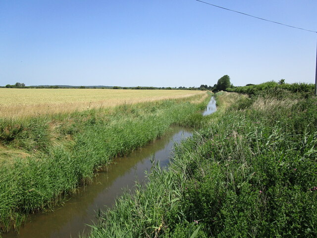
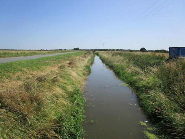
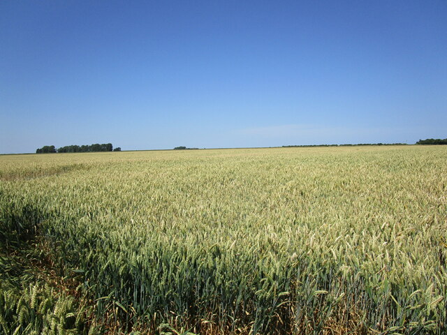
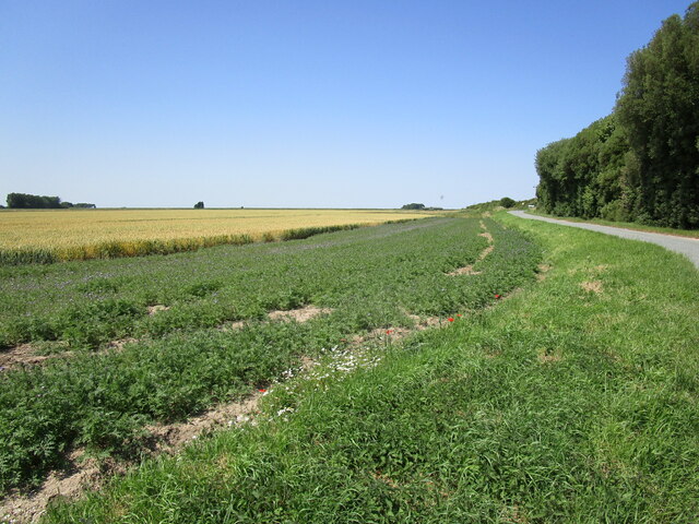
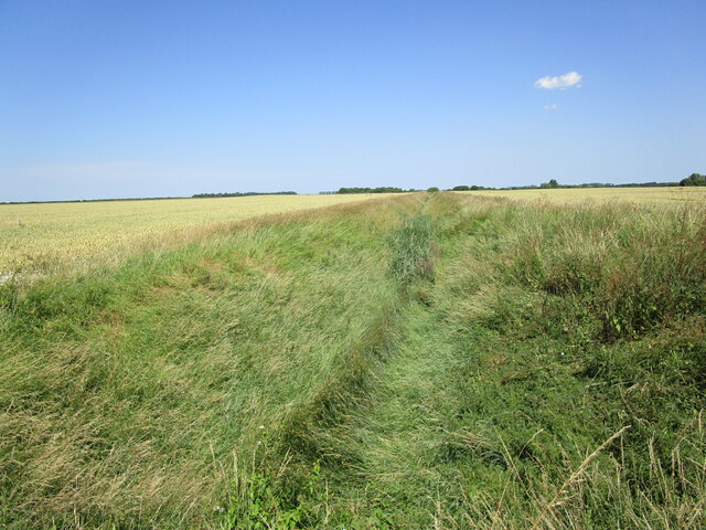
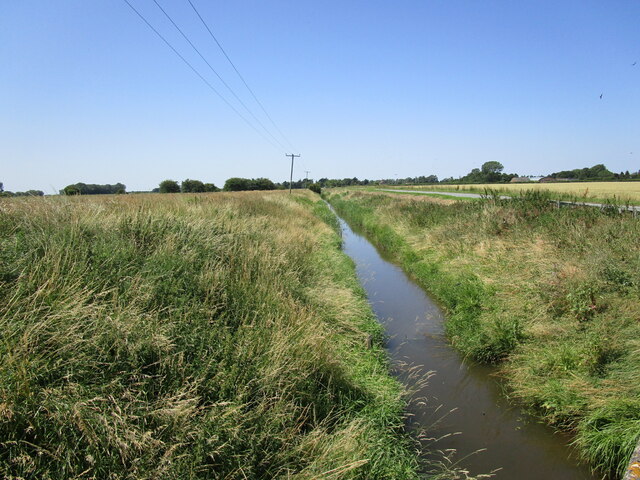
Marsh Common is a picturesque area located in Norfolk, England. Situated amidst the stunning Norfolk Downs and Moorland, it offers visitors a serene and tranquil escape from the hustle and bustle of city life. The common is spread over a vast expanse of land, characterized by its rolling hills, lush greenery, and diverse wildlife.

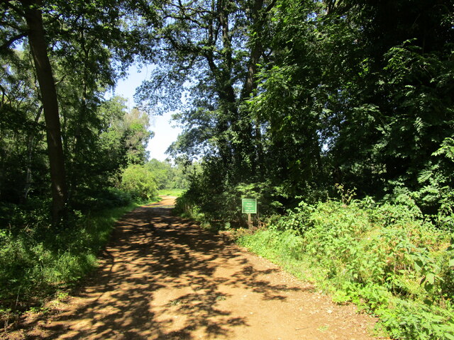
The Norfolk Downs, which form a part of Marsh Common, are known for their gently sloping hills and sprawling meadows. These downs are a haven for nature enthusiasts and provide ample opportunities for hiking, walking, and birdwatching. The moorland, on the other hand, is characterized by its heather-covered landscapes and open spaces, offering breathtaking panoramic views.

The common is home to a wide range of flora and fauna, making it an ideal destination for nature lovers. Visitors can spot various species of birds, including kestrels, buzzards, and skylarks, as well as rabbits, foxes, and deer. The diverse habitats found within Marsh Common support a rich variety of plant life, including wildflowers, ferns, and grasses.

In addition to its natural beauty, Marsh Common also boasts historical significance. It is dotted with ancient archaeological sites, including barrows and burial mounds, providing a glimpse into the area's past.

Overall, Marsh Common in Norfolk offers a unique blend of natural beauty, wildlife, and history. Whether you're seeking a peaceful retreat or an opportunity to explore the great outdoors, this enchanting location has something to offer everyone.

If you have any feedback on the listing, please let us know in the comments section below.
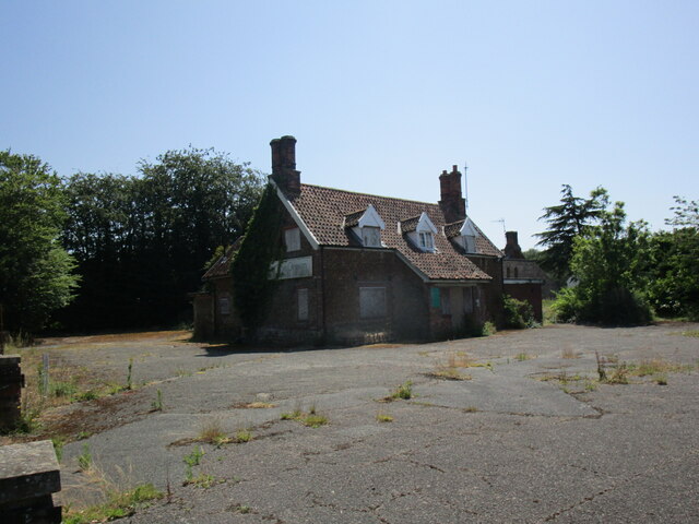
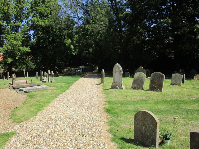
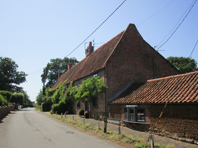
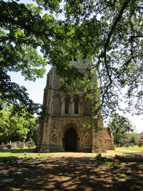
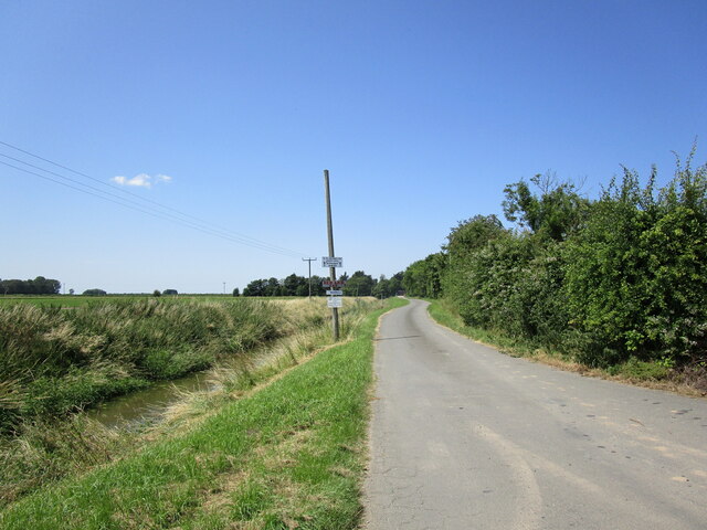
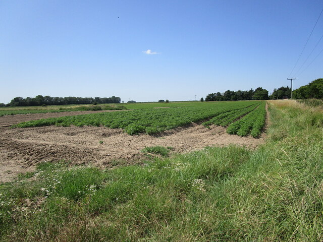
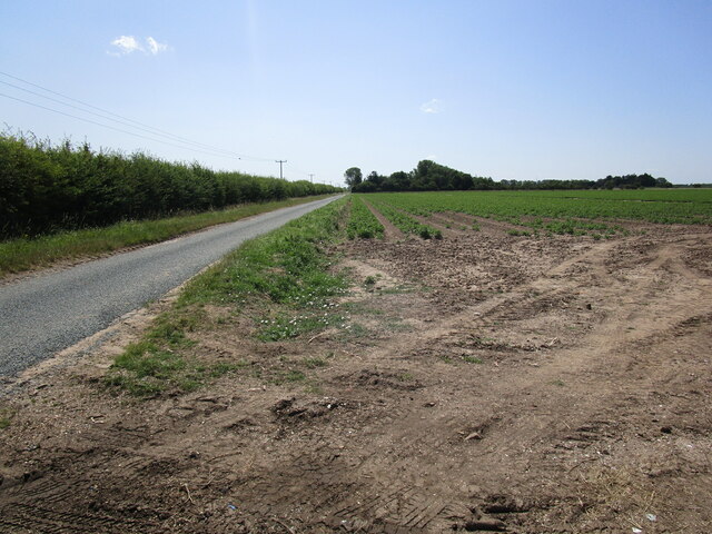
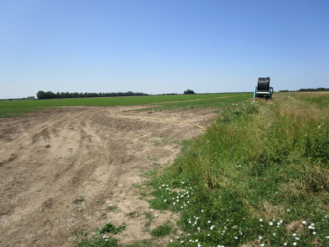
Marsh Common Images

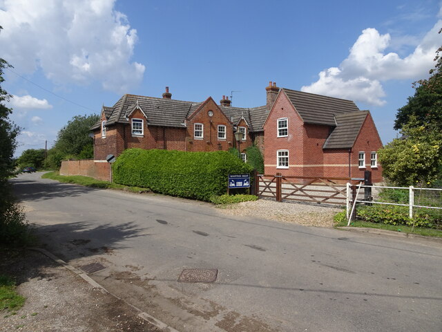
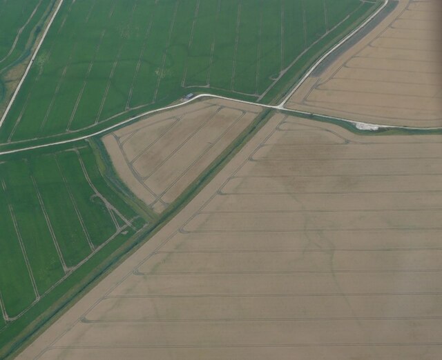
Images are sourced within 2km of 52.799152/0.43070035 or Grid Reference TF6325. Thanks to Geograph Open Source API. All images are credited.

North Wootton railway station (site), Norfolk Opened in 1862 by the Lynn & Hunstanton Railway, later part of the Great Eastern Railway, this station closed in 1969.
View north west towards the forecourt. The original building has the clock in the wall, other buildings are later additions. The double track railway crossed the road behind the building and there were two parallel platforms, one towards Hunstanton and one towards King's Lynn.
North Wootton railway station (site), Norfolk
Opened in 1862 by the Lynn & Hunstanton Railway, later part of the Great Eastern Railway, this station closed in 1969. View north west towards the forecourt. The original building has the clock in the wall, other buildings are later additions. The double track railway crossed the road behind the building and there were two parallel platforms, one towards Hunstanton and one towards King's Lynn.
Cropmarks on field near North Wootton: aerial 2022
Drain at North Wootton
Drain near Estuary Cotteges
Wheat field off Marsh Road
Alongside Marsh Road
All Saints' church, North Wootton Designed by Anthony Salvin <span class="nowrap"><a title="https://en.wikipedia.org/wiki/Anthony_Salvin" rel="nofollow ugc noopener" href="https://en.wikipedia.org/wiki/Anthony_Salvin">Link</a><img style="margin-left:2px;" alt="External link" title="External link - shift click to open in new window" src="https://s1.geograph.org.uk/img/external.png" width="10" height="10"/></span> 1852 <span class="nowrap"><a title="https://historicengland.org.uk/listing/the-list/list-entry/1342413?section=official-list-entry" rel="nofollow ugc noopener" href="https://historicengland.org.uk/listing/the-list/list-entry/1342413?section=official-list-entry">Link</a><img style="margin-left:2px;" alt="External link" title="External link - shift click to open in new window" src="https://s1.geograph.org.uk/img/external.png" width="10" height="10"/></span>
All Saints' church, North Wootton
Designed by Anthony Salvin LinkExternal link 1852 LinkExternal link
Farm track off Ling Common Road
The House on the Green, North Wootton Derelict public house.
The House on the Green, North Wootton
Derelict public house.
Path through the churchyard, North Wootton
Church Cottages, North Wootton
West tower, All Saints' church, North Wootton Designed by Anthony Salvin <span class="nowrap"><a title="https://en.wikipedia.org/wiki/Anthony_Salvin" rel="nofollow ugc noopener" href="https://en.wikipedia.org/wiki/Anthony_Salvin">Link</a><img style="margin-left:2px;" alt="External link" title="External link - shift click to open in new window" src="https://s1.geograph.org.uk/img/external.png" width="10" height="10"/></span> and built in 1852 <span class="nowrap"><a title="https://historicengland.org.uk/listing/the-list/list-entry/1342413?section=official-list-entry" rel="nofollow ugc noopener" href="https://historicengland.org.uk/listing/the-list/list-entry/1342413?section=official-list-entry">Link</a><img style="margin-left:2px;" alt="External link" title="External link - shift click to open in new window" src="https://s1.geograph.org.uk/img/external.png" width="10" height="10"/></span>
West tower, All Saints' church, North Wootton
Designed by Anthony Salvin LinkExternal link and built in 1852 LinkExternal link
Road to Marsh Farm, Wootton Marsh
Potato field, Wootton Marsh
Potato field and irrigation equipment, Wootton Marsh
Drain, Wootton Marsh
Drain. Wootton Marsh
Show me another place!

Marsh Common is located at Grid Ref: TF6325 (Lat: 52.799152, Lng: 0.43070035)

Administrative County: Norfolk

District: King's Lynn and West Norfolk

Police Authority: Norfolk

What 3 Words

///headsets.valid.surprise. Near King's Lynn, Norfolk

Nearby Locations

Marsh Common

Related Wikis

North Wootton railway station

North Wootton was a railway station on the King's Lynn to Hunstanton line which opened in 1862 to serve the village of North Wootton on the outskirts of...

North Wootton, Norfolk

North Wootton is a village, civil parish and electoral ward near the town of King's Lynn in Norfolk, England. It covers an area of 32.33 km2 (12.48 sq...

South Wootton

South Wootton is a village and civil parish in the English county of Norfolk, approximately 2 miles (3.2 km) north-east of King's Lynn. It covers an area...

Castle Rising

Castle Rising is a village and civil parish in the English county of Norfolk. The village is situated some 8 kilometres (5 mi) north-east of the town of...

Nearby Amenities

Located within 500m of 52.799152,0.43070035
Marsh Common
Place: locality
Source: Bing
Lat/Long: 52.7981118/0.4261794
The data included in this document is from www.openstreetmap.org. The data is made available under ODbL.

Have you been to Marsh Common?

Leave your review of Marsh Common below (or comments, questions and feedback).