Roxham Fen
Downs, Moorland in Norfolk King's Lynn and West Norfolk
England
Roxham Fen
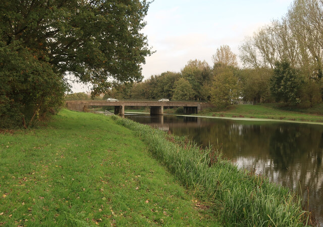
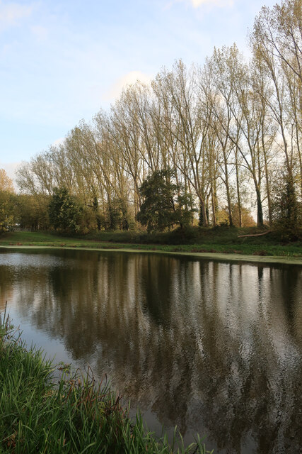
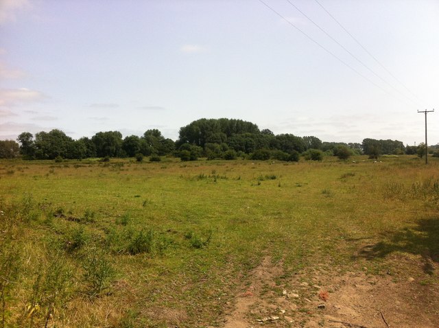
Roxham Fen is a picturesque nature reserve located in Norfolk, England. Situated between the villages of Downham Market and Roxham, the fen covers an area of approximately 100 hectares and is part of the Norfolk Wildlife Trust.
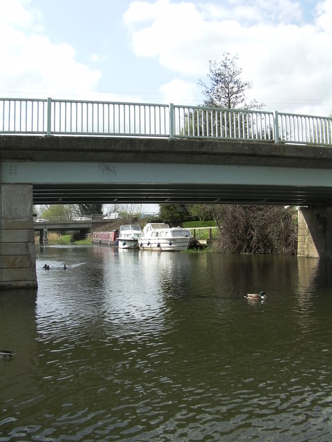
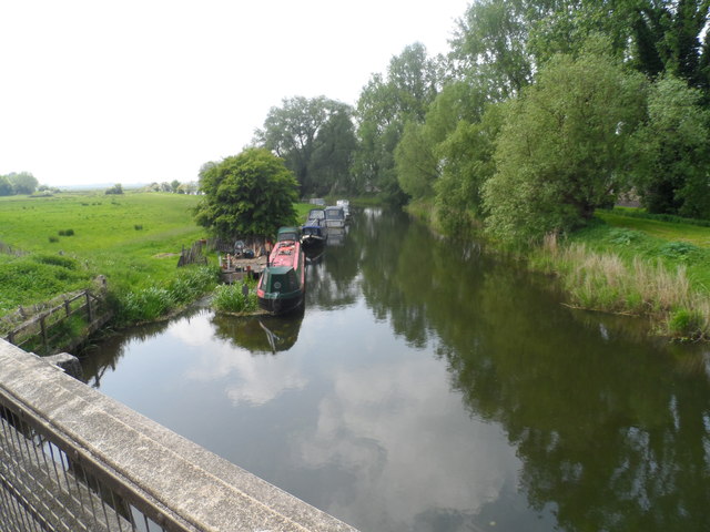
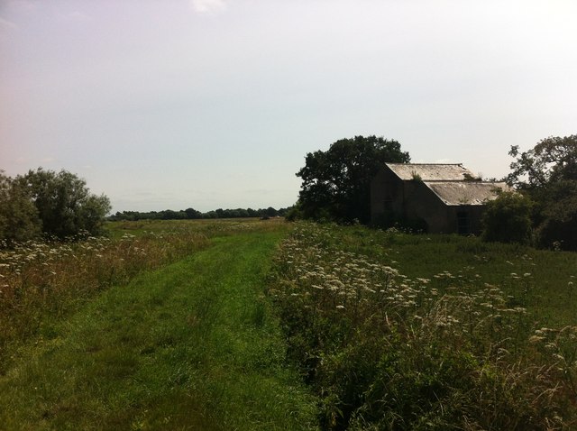
The reserve is characterized by its diverse and unique ecosystem, consisting of wet meadows, reed beds, and open water areas. It is home to a rich variety of wildlife, including rare birds, insects, and plants. The fen provides an important habitat for several species of birds, such as bitterns, marsh harriers, and bearded tits.
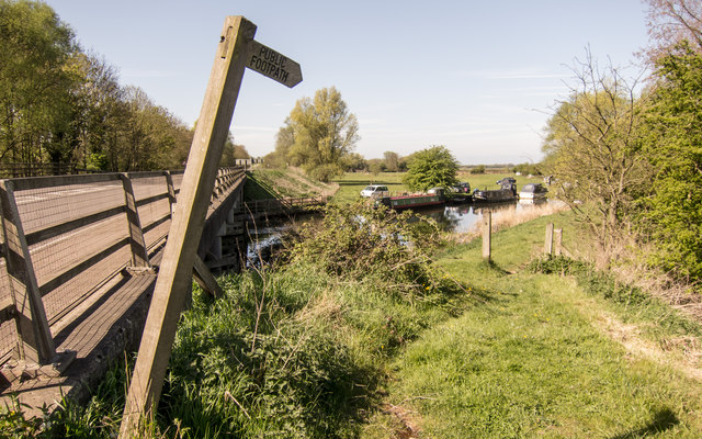
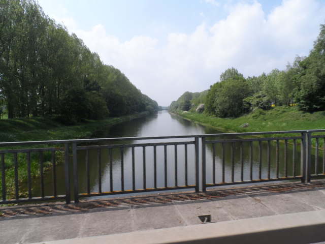
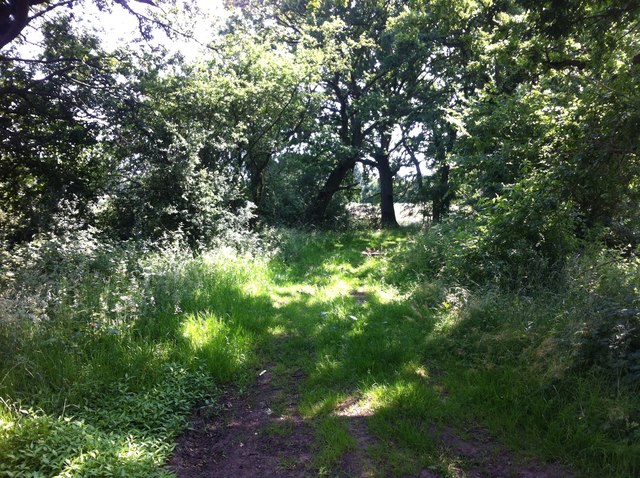
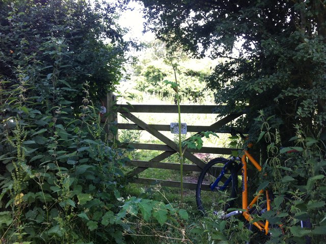
Visitors to Roxham Fen can explore the reserve via a network of well-maintained footpaths and boardwalks. These paths offer stunning views of the surrounding countryside and allow visitors to get up close to the flora and fauna. Birdwatchers, in particular, will find Roxham Fen a paradise, with numerous bird hides strategically placed throughout the reserve.
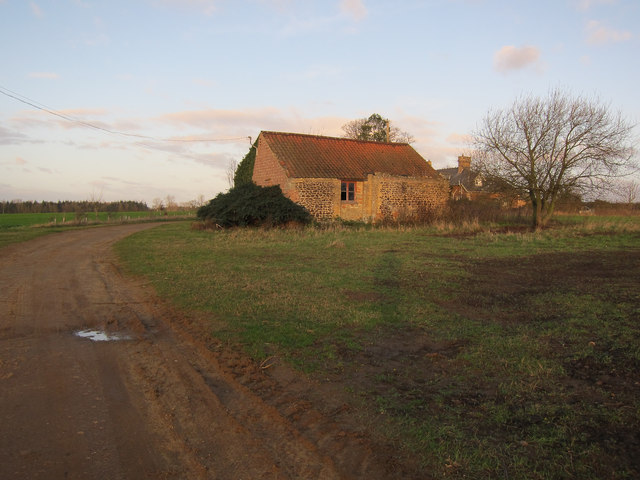
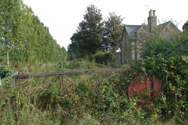
In addition to its natural beauty, Roxham Fen also holds historical significance. The area is believed to have been inhabited since prehistoric times, with evidence of ancient settlements and burial mounds found in the vicinity. The reserve is also adjacent to the ruins of St. Ethelbert's Church, which dates back to the 12th century and adds a touch of historical charm to the landscape.
Overall, Roxham Fen in Norfolk offers a serene and tranquil escape for nature lovers and history enthusiasts alike. Its diverse habitats, abundant wildlife, and historical landmarks make it a must-visit destination for anyone seeking to immerse themselves in the beauty of the British countryside.
If you have any feedback on the listing, please let us know in the comments section below.
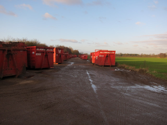
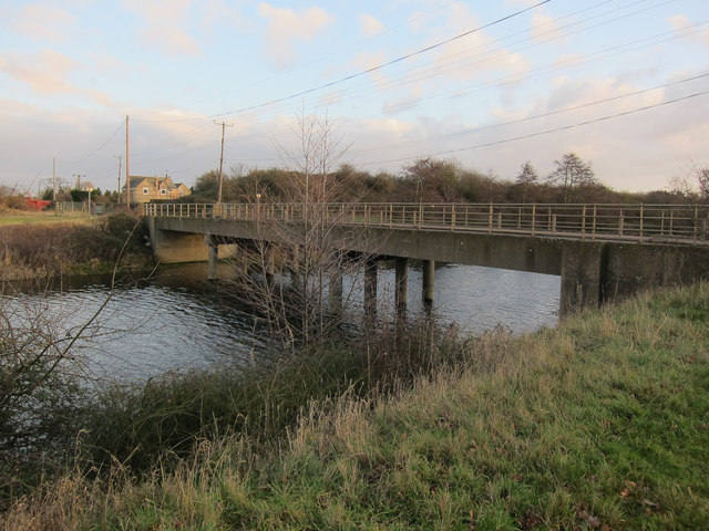
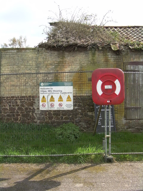
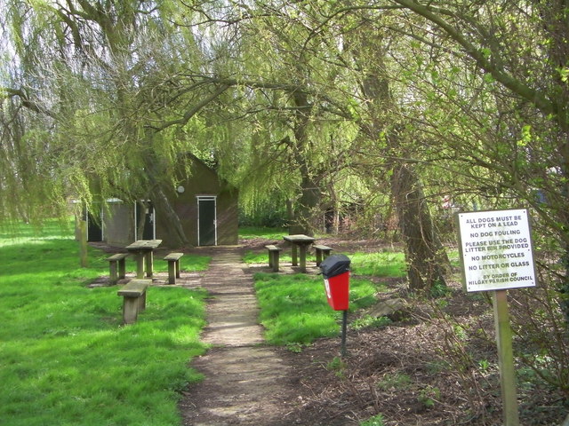
Roxham Fen Images
Images are sourced within 2km of 52.563488/0.41392812 or Grid Reference TL6398. Thanks to Geograph Open Source API. All images are credited.
Roxham Fen is located at Grid Ref: TL6398 (Lat: 52.563488, Lng: 0.41392812)
Administrative County: Norfolk
District: King's Lynn and West Norfolk
Police Authority: Norfolk
What 3 Words
///section.nightlife.paintings. Near Southery, Norfolk
Nearby Locations
Related Wikis

Hilgay Heronry
Hilgay Heronry is a 1.8-hectare (4.4-acre) biological Site of Special Scientific Interest south of Downham Market in Norfolk.This small wood has a nationally...

1974 Norfolk mid-air collision
The 1974 Norfolk mid-air collision happened on 9 August 1974 at Fordham Fen, Norfolk, England when a Royal Air Force McDonnell-Douglas F-4M Phantom FGR...

Hilgay
Hilgay is a village and civil parish in Norfolk, England, 4 miles (6.4 km) from Downham Market. It covers an area of 33.38 km2 (12.89 sq mi) and had a...

Abbey and West Dereham railway station
Abbey and West Dereham railway station was a railway station on the line between Downham Market and Stoke Ferry. It served the village of West Dereham...

St Mary's Church, Fordham
St Mary's Church is located to the south of the village of Fordham, Norfolk, England. It is a redundant Anglican parish church in the care of the Friends...
Ryston railway station
Ryston railway station was a railway station serving Fordham, Norfolk. It was on a branch line from Denver. == History == The Downham and Stoke Ferry Railway...
Fordham, Norfolk
Fordham is a small village and civil parish in the English county of Norfolk. The village is located 2.2 miles (3.5 km) north of Downham Market and 39...

Ryston
Ryston is a small village and civil parish in the English county of Norfolk. It once had its own railway station. The villages name means 'Brushwood farm/settlement...
Have you been to Roxham Fen?
Leave your review of Roxham Fen below (or comments, questions and feedback).