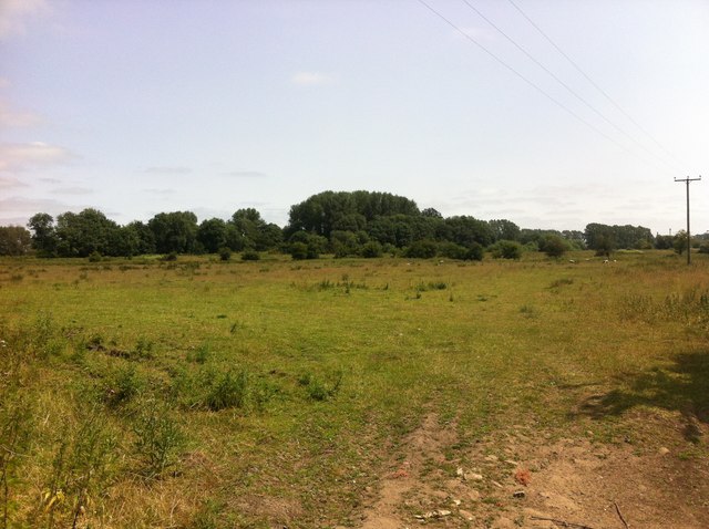
Two Acre Covert

Wood, Forest in Norfolk King's Lynn and West Norfolk

England

Two Acre Covert

A10 over Cut-off Channel The Cut-off Channel is a large man made channel that follows the eastern edge of the Fens.
A10 over Cut-off Channel Credit: Hugh Venables

The requested URL returned error: 429 Too Many Requests

If you have any feedback on the listing, please let us know in the comments section below.

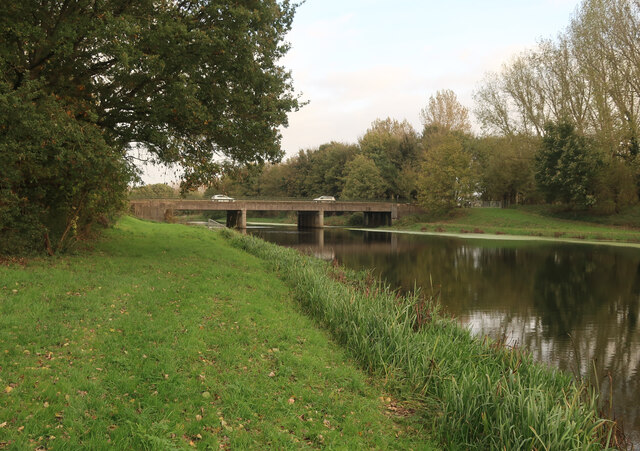
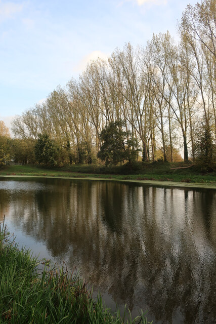
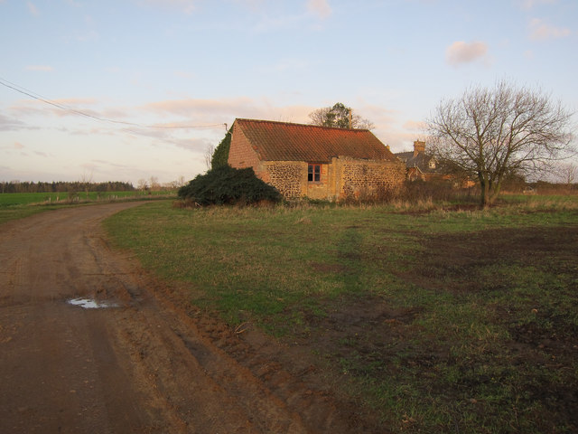
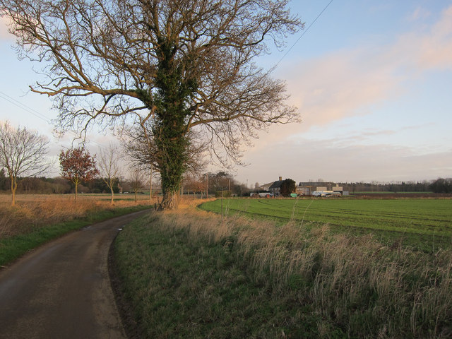
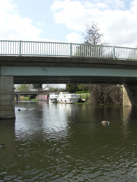
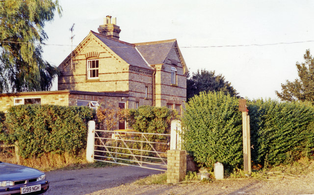
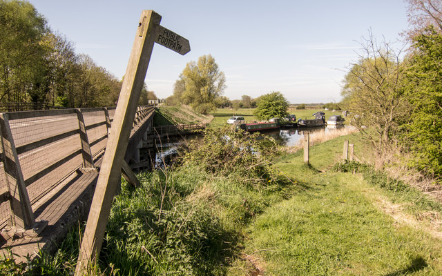
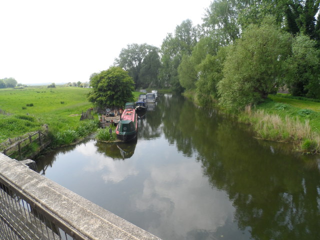
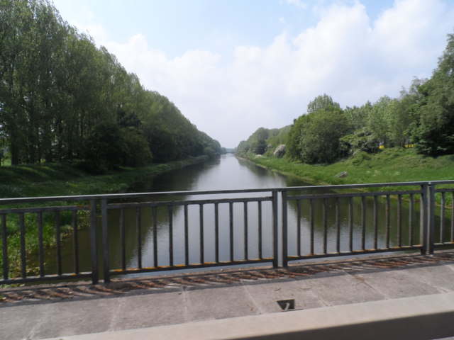
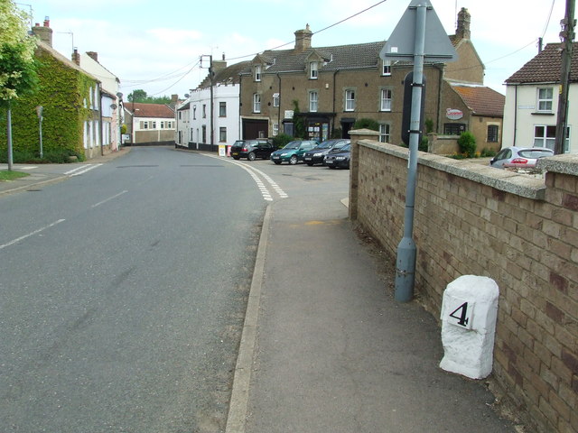
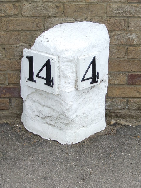
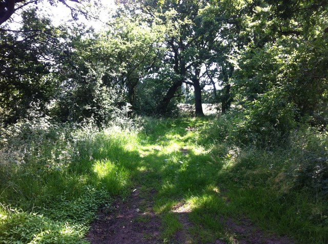
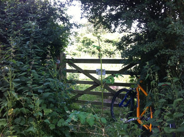
Two Acre Covert Images

Images are sourced within 2km of 52.563974/0.41525328 or Grid Reference TL6398. Thanks to Geograph Open Source API. All images are credited.

A10 over Cut-off Channel The Cut-off Channel is a large man made channel that follows the eastern edge of the Fens.
A10 over Cut-off Channel
The Cut-off Channel is a large man made channel that follows the eastern edge of the Fens.
Poplars by the Cut-off Channel Poplars used to be a commercial timber crop, as well as a useful windbreak. They are no longer commercial so the number of plantations is falling and others not being harvested.
Poplars by the Cut-off Channel
Poplars used to be a commercial timber crop, as well as a useful windbreak. They are no longer commercial so the number of plantations is falling and others not being harvested.
Roxham Farm outbuilding Turning round at a 'Farm vehicles only' sign.
Roxham Farm outbuilding
Turning round at a 'Farm vehicles only' sign.
Road to Crossways Farm Dead end road that doesn't quite reach the Cut-off Channel.
Road to Crossways Farm
Dead end road that doesn't quite reach the Cut-off Channel.
Glazewing skips Stored close to the recycling plant.
Glazewing skips
Stored close to the recycling plant.
Station Road bridge Over the Cut-off Channel. See <a href="https://www.geograph.org.uk/photo/526169">TL6699 : Passengers no more!</a> for the source of the road name.
Station Road bridge
Over the Cut-off Channel. See TL6699 : Passengers no more! for the source of the road name.
Welcome to Hilgay 48hr Mooring The Environment Agency signs warns the public No Fishing, No Diving and No Swimming.
Welcome to Hilgay 48hr Mooring
The Environment Agency signs warns the public No Fishing, No Diving and No Swimming.
Picnic site and public convenience
Two bridges In the foreground is Hilgay Bridge, in the background another bridge carries the A10 over the River Wissey.
Two bridges
In the foreground is Hilgay Bridge, in the background another bridge carries the A10 over the River Wissey.
Abbey & West Dereham station (remains) View eastward, towards Stoke Ferry: ex-GER Denver - Stoke Ferry branch. The station and branch lost their passenger service from 22/9/30, but goods continued on the branch until 19/4/65 - to Abbey until 31/1/66.
Abbey & West Dereham station (remains)
View eastward, towards Stoke Ferry: ex-GER Denver - Stoke Ferry branch. The station and branch lost their passenger service from 22/9/30, but goods continued on the branch until 19/4/65 - to Abbey until 31/1/66.
A10 at River Wissey Start of riverside footpath.  Very dangerous to approach!
A10 at River Wissey
Start of riverside footpath. Very dangerous to approach!
Narrow boats on the River Wissey
Cut Off Channel near Hilgay
Old Milestone Old milestone on what was the A.10 at Hilgay, Norfolk. For close up view see <a title="https://www.geograph.org.uk/photo/3511213" href="https://www.geograph.org.uk/photo/3511213">Link</a>
Old Milestone
Old milestone on what was the A.10 at Hilgay, Norfolk. For close up view see Link
Old Milestone Old milestone on what was the A.10 at Hilgay, Norfolk. For overall view see <a title="https://www.geograph.org.uk/photo/3511207" href="https://www.geograph.org.uk/photo/3511207">Link</a>
Old Milestone
Old milestone on what was the A.10 at Hilgay, Norfolk. For overall view see Link
Lost I'm sure I should be over there somewhere.
Lost
I'm sure I should be over there somewhere.
Thistle Hill Road A bridleway on Hilgay Fen.
Thistle Hill Road
A bridleway on Hilgay Fen.
Please Close Gate I rode past this overgrown gate twice before I finally spotted it. I wish I never had, as the bridleway behind it eventually disappears by the sugar factory.
Please Close Gate
I rode past this overgrown gate twice before I finally spotted it. I wish I never had, as the bridleway behind it eventually disappears by the sugar factory.
Show me another place!

Two Acre Covert is located at Grid Ref: TL6398 (Lat: 52.563974, Lng: 0.41525328)

Administrative County: Norfolk

District: King's Lynn and West Norfolk

Police Authority: Norfolk

What 3 Words

///thread.focal.requests. Near Southery, Norfolk

Nearby Locations

Roxham Fen Two Acre Covert

Related Wikis

Hilgay Heronry

Hilgay Heronry is a 1.8-hectare (4.4-acre) biological Site of Special Scientific Interest south of Downham Market in Norfolk.This small wood has a nationally...

1974 Norfolk mid-air collision

The 1974 Norfolk mid-air collision happened on 9 August 1974 at Fordham Fen, Norfolk, England when a Royal Air Force McDonnell-Douglas F-4M Phantom FGR...

Hilgay

Hilgay is a village and civil parish in Norfolk, England, 4 miles (6.4 km) from Downham Market. It covers an area of 33.38 km2 (12.89 sq mi) and had a...

Abbey and West Dereham railway station

Abbey and West Dereham railway station was a railway station on the line between Downham Market and Stoke Ferry. It served the village of West Dereham...

Nearby Amenities

Located within 500m of 52.563974,0.41525328
Fixme: incomplete
Lat/Long: 52.568089/0.4154152
The data included in this document is from www.openstreetmap.org. The data is made available under ODbL.

Have you been to Two Acre Covert?

Leave your review of Two Acre Covert below (or comments, questions and feedback).