Fordham Moor
Downs, Moorland in Cambridgeshire East Cambridgeshire
England
Fordham Moor
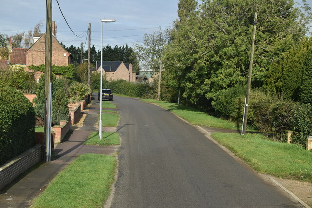
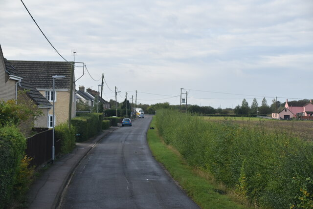
Fordham Moor is a vast expanse of downs and moorland located in the county of Cambridgeshire, England. Covering an area of approximately 1,500 acres, this unique landscape is known for its rich biodiversity and stunning natural beauty.
The moor is characterized by undulating grassy hills, interspersed with patches of heather and gorse, creating a picturesque setting. The land is predominantly flat, with occasional dips and valleys, making it ideal for leisurely walks and hikes. Visitors can enjoy breathtaking panoramic views of the surrounding countryside from the higher elevations.
The moor is home to a diverse range of flora and fauna. Native grass species such as purple moor grass and wavy hair grass dominate the landscape, while heather and bilberry add bursts of vibrant color in the summer months. These habitats support a variety of wildlife, including birds like skylarks and meadow pipits, as well as small mammals such as voles and hares.
Historically, Fordham Moor has been used for grazing livestock, particularly sheep, which have helped maintain the unique character of the landscape. Today, the moor is managed by local conservation organizations to preserve its ecological significance and protect its natural resources.
Visitors to Fordham Moor can enjoy peaceful walks along well-maintained trails, taking in the tranquility of the surroundings. The moorland also offers opportunities for birdwatching, photography, and nature exploration. With its unspoiled beauty and ecological importance, Fordham Moor is a haven for nature enthusiasts and a gem of Cambridgeshire's countryside.
If you have any feedback on the listing, please let us know in the comments section below.
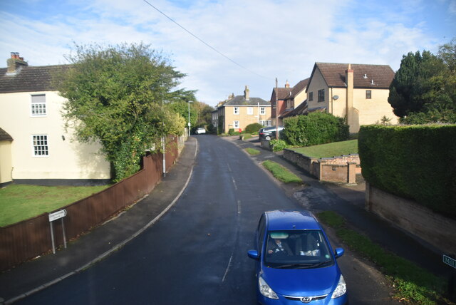
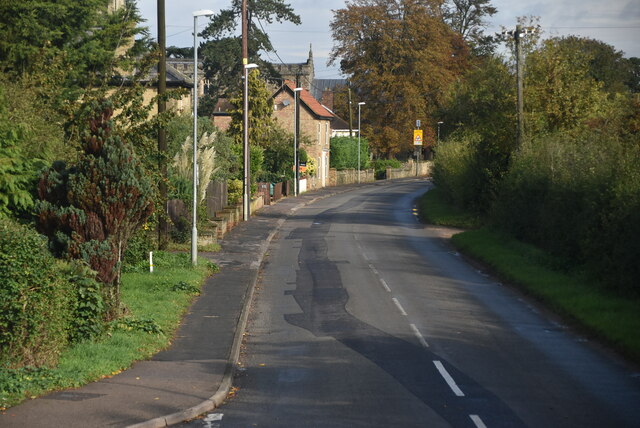
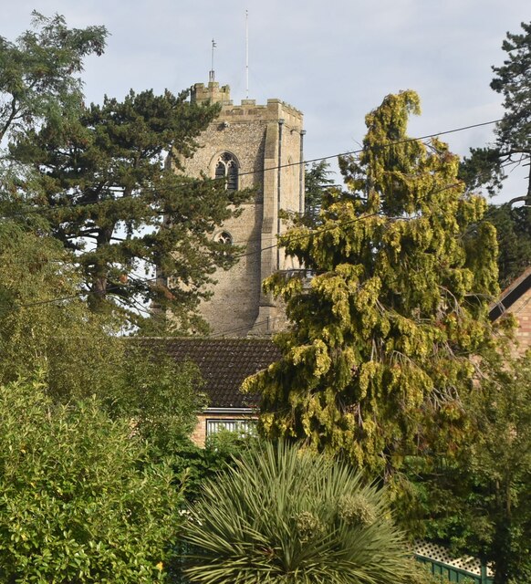
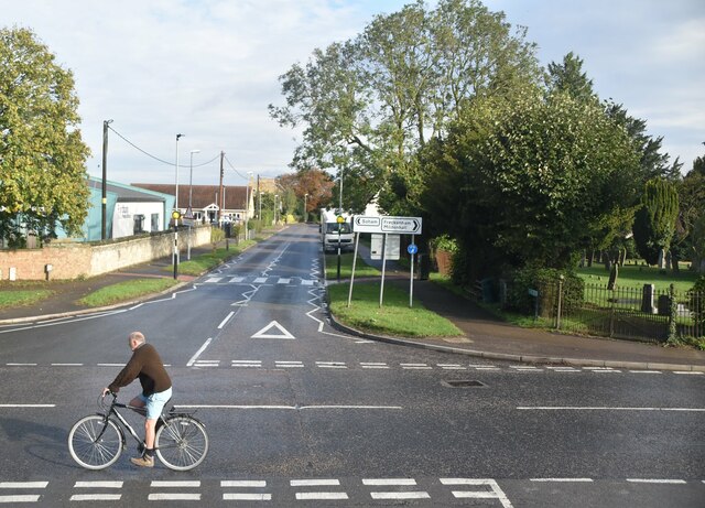
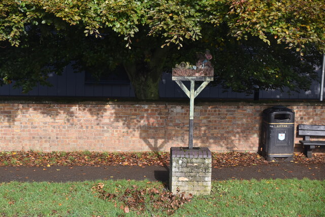
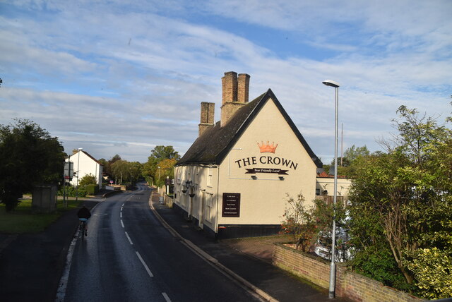
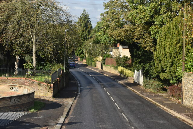
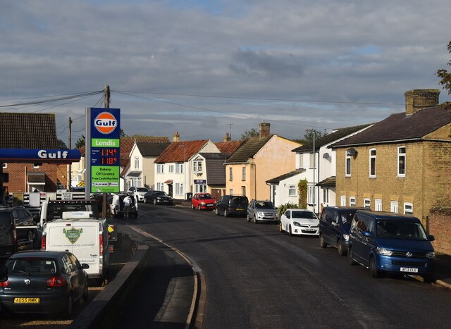
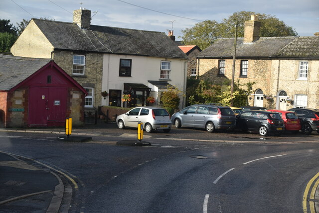
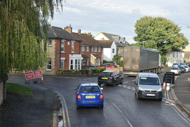
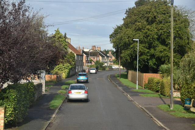
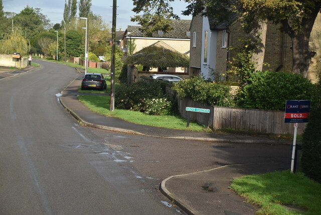
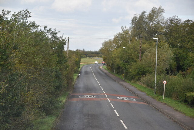
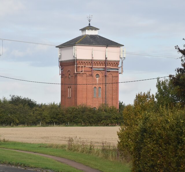
Fordham Moor Images
Images are sourced within 2km of 52.324831/0.39046324 or Grid Reference TL6372. Thanks to Geograph Open Source API. All images are credited.
Fordham Moor is located at Grid Ref: TL6372 (Lat: 52.324831, Lng: 0.39046324)
Administrative County: Cambridgeshire
District: East Cambridgeshire
Police Authority: Cambridgeshire
What 3 Words
///beaks.competing.trump. Near Fordham, Cambridgeshire
Nearby Locations
Related Wikis

Isleham Nature Reserve
Isleham Nature Reserve is a 1.1 hectare Local Nature Reserve in Isleham in Cambridgeshire. It is owned by Cambridgeshire County Council and managed by...

Isleham
Isleham is a village and civil parish in the English county of Cambridgeshire. It is part of the Fens. It has three pubs. == Geography == Isleham is located...

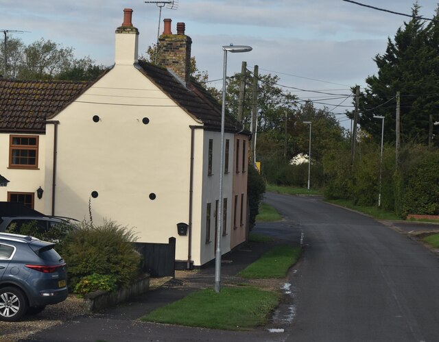
Fordham, Cambridgeshire
Fordham is a village in rural Cambridgeshire, England. Fordham is part of the East Cambridgeshire district. It is four miles north of Newmarket, as well...

Fordham War Memorial
Fordham War Memorial is a First World War memorial in the village of Fordham in Cambridgeshire in eastern England. The memorial was designed by Sir Edwin...

Soham Wet Horse Fen
Soham Wet Horse Fen is a 33.8-hectare (84-acre) biological Site of Special Scientific Interest east of Soham in Cambridgeshire. A 3.6-hectare (8.9-acre...

Isleham railway station
Isleham railway station is a disused railway station on the Cambridge to Mildenhall railway in England. The station was on the outskirts of the village...

Fordham Priory
Fordham Priory was a Gilbertine priory in Fordham, Cambridgeshire, England. It was established in 1227 and was dissolved in 1540. Fordham Abbey, a Grade...

Isleham Priory Church
Isleham Priory Church, located in Isleham, Cambridgeshire, England, is a Benedictine alien priory built around 1100 AD. It is an important example of an...
Nearby Amenities
Located within 500m of 52.324831,0.39046324Have you been to Fordham Moor?
Leave your review of Fordham Moor below (or comments, questions and feedback).