Hilgay Fen

Downs, Moorland in Norfolk King's Lynn and West Norfolk

England

Hilgay Fen

A10 over Cut-off Channel The Cut-off Channel is a large man made channel that follows the eastern edge of the Fens.
A10 over Cut-off Channel Credit: Hugh Venables

Hilgay Fen is located in Norfolk, England, and is a diverse and unique natural landscape encompassing downs, moorland, and wetland habitats. Covering an area of approximately 1,500 acres, it is a significant conservation area renowned for its rich biodiversity and historical importance.

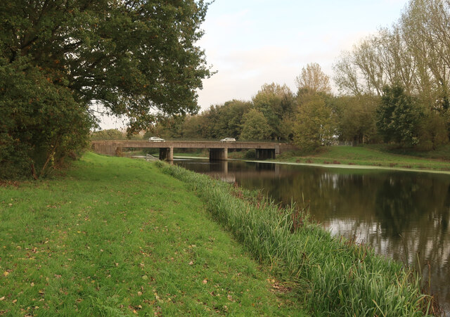
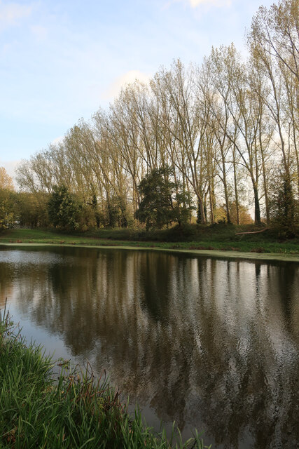
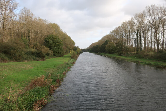
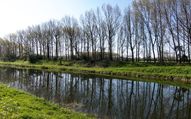
The fen is characterized by its gently rolling downlands, interspersed with open moorland and marshy areas. It is home to a wide range of plant and animal species, including several rare and protected species. The wetland areas are particularly notable, providing important breeding grounds for a variety of waterfowl, including the rare bittern and marsh harrier.

The fen has a long history of human habitation and agricultural use, with evidence of settlements dating back to the Iron Age. In medieval times, it was an important agricultural area, known for its production of peat, reeds, and livestock. Today, the fen is managed by local conservation organizations, who work to maintain its unique character and protect its wildlife.

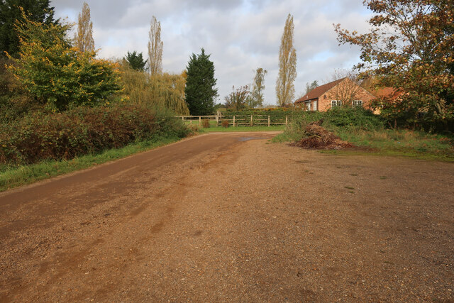
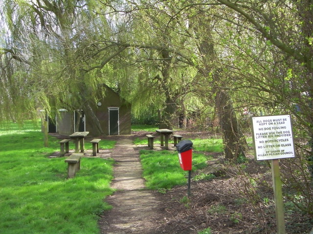
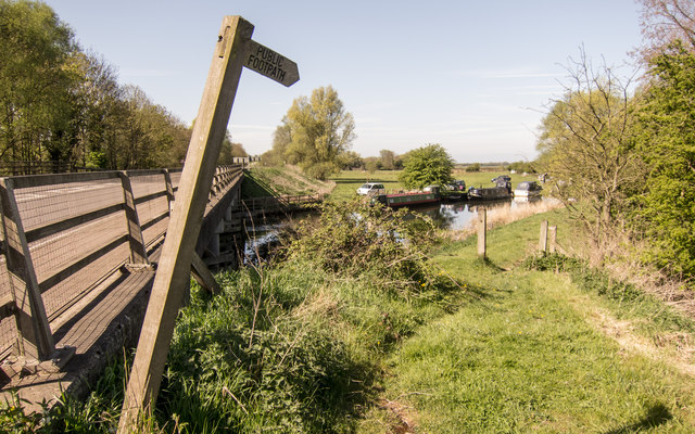
Visitors to Hilgay Fen can enjoy walking trails that wind through the landscape, offering stunning views of the surrounding countryside and opportunities for birdwatching and wildlife spotting. The area is also popular with photographers and nature enthusiasts, who are drawn to its peaceful and unspoiled atmosphere.

In conclusion, Hilgay Fen is a remarkable natural landscape in Norfolk, encompassing downs, moorland, and wetland habitats. With its diverse ecosystems and rich biodiversity, it is a place of great ecological significance, offering visitors a chance to experience and appreciate the beauty of nature.

If you have any feedback on the listing, please let us know in the comments section below.
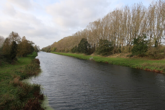
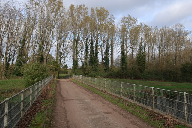
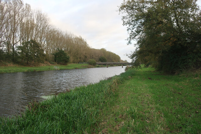
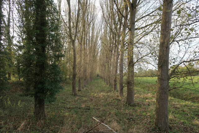
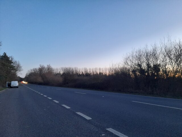
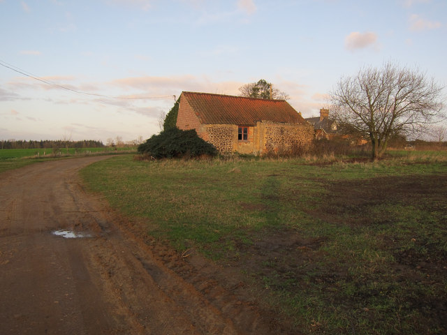
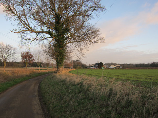
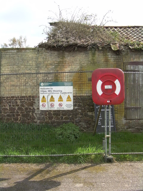
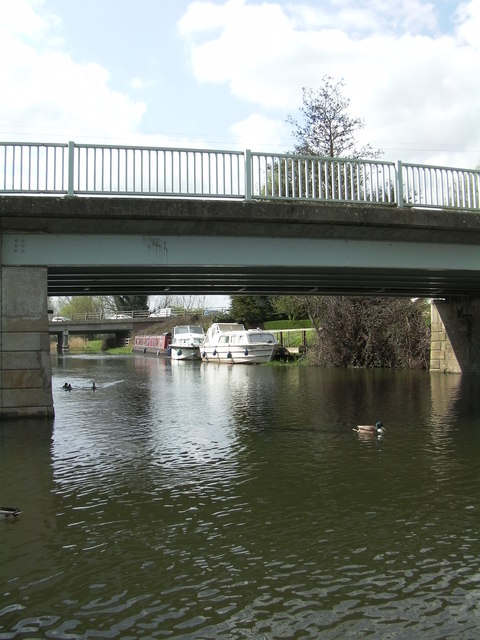
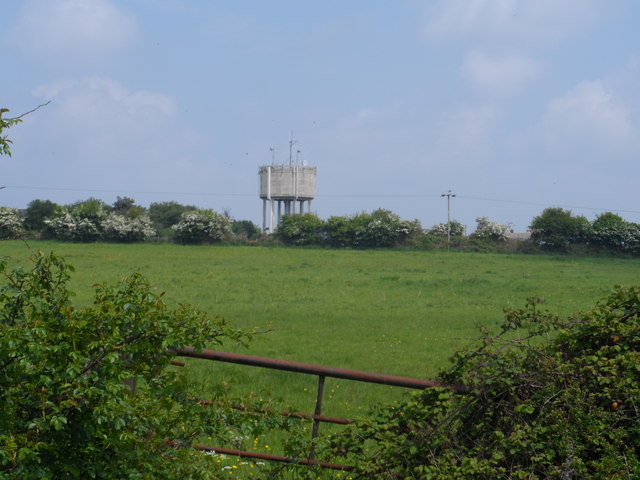
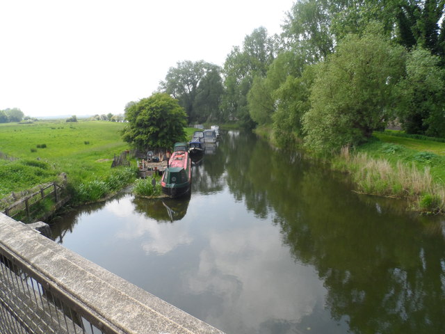
Hilgay Fen Images

Images are sourced within 2km of 52.561175/0.40298593 or Grid Reference TL6298. Thanks to Geograph Open Source API. All images are credited.

A10 over Cut-off Channel The Cut-off Channel is a large man made channel that follows the eastern edge of the Fens.
A10 over Cut-off Channel
The Cut-off Channel is a large man made channel that follows the eastern edge of the Fens.
Poplars by the Cut-off Channel Poplars used to be a commercial timber crop, as well as a useful windbreak. They are no longer commercial so the number of plantations is falling and others not being harvested.
Poplars by the Cut-off Channel
Poplars used to be a commercial timber crop, as well as a useful windbreak. They are no longer commercial so the number of plantations is falling and others not being harvested.
Parking at Fordham With permissive paths each side of the Cut-off Channel, the area is good for walking.
Parking at Fordham
With permissive paths each side of the Cut-off Channel, the area is good for walking.
Cut-off Channel near Fordham With permissive paths each side.
Cut-off Channel near Fordham
With permissive paths each side.
Cut-off Channel near Fordham With permissive paths each side. The Cut-off Channel is a large man made channel that follows the eastern edge of the Fens.
Cut-off Channel near Fordham
With permissive paths each side. The Cut-off Channel is a large man made channel that follows the eastern edge of the Fens.
Bridge over Cut-off Channel
Permissive path by Cut-off Channel The Cut-off Channel is a large man made channel that follows the eastern edge of the Fens.
Permissive path by Cut-off Channel
The Cut-off Channel is a large man made channel that follows the eastern edge of the Fens.
Poplars by the Cut-off Channel Poplars used to be a commercial timber crop, as well as a useful windbreak. They are no longer commercial so the number of plantations is falling and others not being harvested.
Poplars by the Cut-off Channel
Poplars used to be a commercial timber crop, as well as a useful windbreak. They are no longer commercial so the number of plantations is falling and others not being harvested.
Layby on the A10, Fordham
Roxham Farm outbuilding Turning round at a 'Farm vehicles only' sign.
Roxham Farm outbuilding
Turning round at a 'Farm vehicles only' sign.
Road to Crossways Farm Dead end road that doesn't quite reach the Cut-off Channel.
Road to Crossways Farm
Dead end road that doesn't quite reach the Cut-off Channel.
Welcome to Hilgay 48hr Mooring The Environment Agency signs warns the public No Fishing, No Diving and No Swimming.
Welcome to Hilgay 48hr Mooring
The Environment Agency signs warns the public No Fishing, No Diving and No Swimming.
Picnic site and public convenience
Two bridges In the foreground is Hilgay Bridge, in the background another bridge carries the A10 over the River Wissey.
Two bridges
In the foreground is Hilgay Bridge, in the background another bridge carries the A10 over the River Wissey.
Denver Cutoff Channel
A10 at River Wissey Start of riverside footpath.  Very dangerous to approach!
A10 at River Wissey
Start of riverside footpath. Very dangerous to approach!
Hilgay water tower Complete with the usual collection of mobile phone masts. I predict in future generations the water tower function will disappear and everybody will think these structures were built for the mobile phone network - depressing.
Hilgay water tower
Complete with the usual collection of mobile phone masts. I predict in future generations the water tower function will disappear and everybody will think these structures were built for the mobile phone network - depressing.
Narrow boats on the River Wissey
Show me another place!

Hilgay Fen is located at Grid Ref: TL6298 (Lat: 52.561175, Lng: 0.40298593)

Administrative County: Norfolk

District: King's Lynn and West Norfolk

Police Authority: Norfolk

What 3 Words

///alright.fairness.distanced. Near Southery, Norfolk

Nearby Locations

Hilgay Fen Hilgay

Related Wikis

1974 Norfolk mid-air collision

The 1974 Norfolk mid-air collision happened on 9 August 1974 at Fordham Fen, Norfolk, England when a Royal Air Force McDonnell-Douglas F-4M Phantom FGR...

Hilgay Heronry

Hilgay Heronry is a 1.8-hectare (4.4-acre) biological Site of Special Scientific Interest south of Downham Market in Norfolk. This small wood has a nationally...

Hilgay

Hilgay is a village and civil parish in Norfolk, England, 4 miles (6 km) south of Downham Market. The parish covers an area of 33.38 km2 (12.89 sq mi)...

St Mary's Church, Fordham

St Mary's Church is located to the south of the village of Fordham, Norfolk, England. It is a redundant Anglican parish church in the care of the Friends...

Nearby Amenities

Located within 500m of 52.561175,0.40298593
Fixme: incomplete
Lat/Long: 52.5606079/0.4028144
The data included in this document is from www.openstreetmap.org. The data is made available under ODbL.

Have you been to Hilgay Fen?

Leave your review of Hilgay Fen below (or comments, questions and feedback).